Frochas

Settlement in Montgomeryshire

Wales

Frochas

Glyndŵr's Way The footpath here doesn't seem to be used much as it is not visible on the ground.
Glyndŵr's Way Credit: CBL

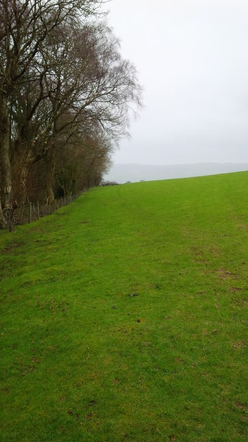
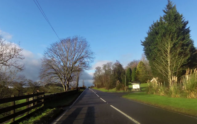
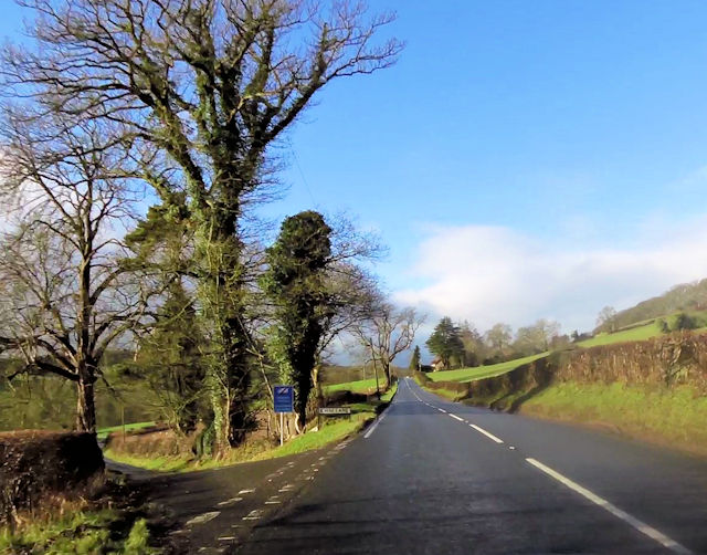
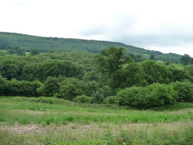
Frochas is a small village located in the county of Montgomeryshire, Wales. Situated in the picturesque Welsh countryside, Frochas is known for its stunning natural beauty and peaceful atmosphere. The village is nestled amidst rolling hills and surrounded by lush green fields, providing breathtaking views for residents and visitors alike.

With a population of around 200 people, Frochas maintains a close-knit community, where residents take pride in their village and its heritage. The village is rich in history, with evidence of settlement dating back to ancient times. Many traditional Welsh cottages can be found throughout Frochas, adding to its charm and character.

Frochas offers a range of amenities to its residents, including a local pub, a community center, and a small convenience store. The village is also served by a primary school, ensuring that the educational needs of local children are met.

Nature lovers will appreciate the abundance of outdoor activities available in and around Frochas. The village is surrounded by numerous walking and hiking trails, allowing visitors to explore the stunning Welsh countryside. Additionally, the nearby River Severn provides opportunities for fishing and boating enthusiasts.

While Frochas may be a small village, its close proximity to larger towns and cities ensures easy access to a wider range of amenities and services. The village's peaceful and picturesque setting, combined with its strong sense of community, makes Frochas an attractive place to live or visit for those seeking a serene and rural retreat in Montgomeryshire.

If you have any feedback on the listing, please let us know in the comments section below.
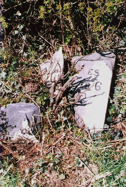
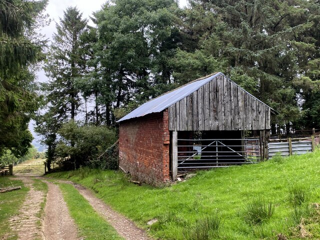
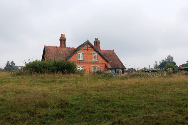
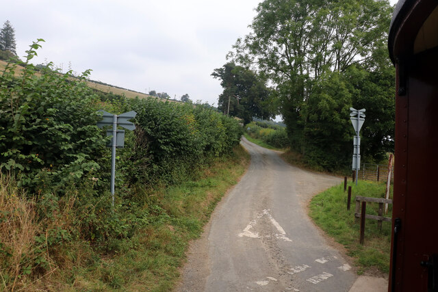
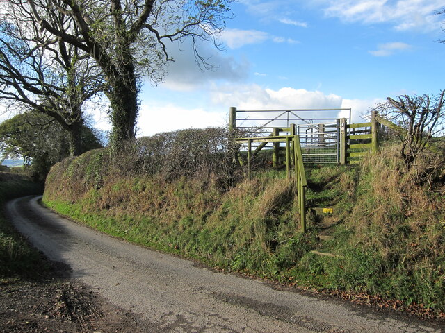
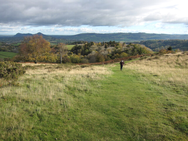
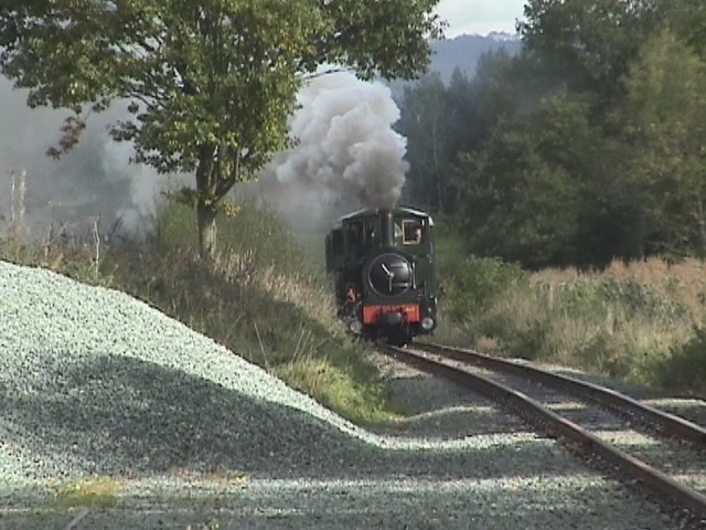
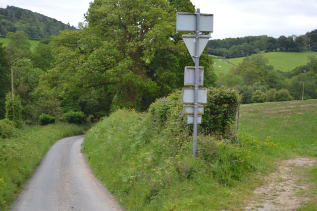
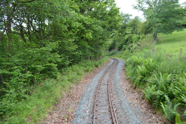
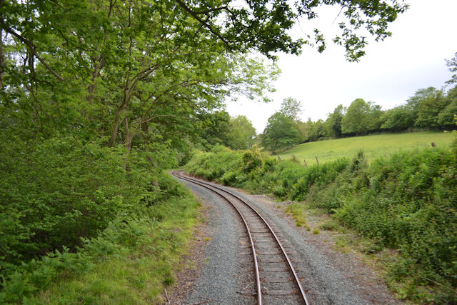
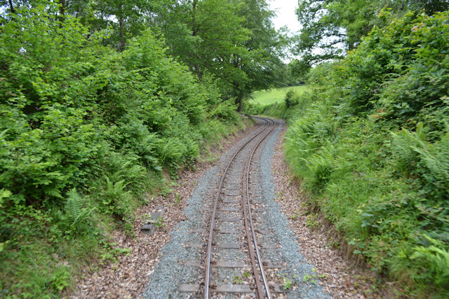
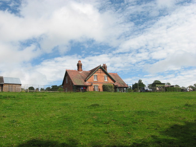
Frochas Images

Images are sourced within 2km of 52.665962/-3.1856366 or Grid Reference SJ1908. Thanks to Geograph Open Source API. All images are credited.

Glyndŵr's Way The footpath here doesn't seem to be used much as it is not visible on the ground.
Glyndŵr's Way
The footpath here doesn't seem to be used much as it is not visible on the ground.
Entrance to Golfa Farm and Hall from A458
Cwm Lane junction from A458
Blackpool Woods Along Nant-y-caws Brook, below the railway line.
Blackpool Woods
Along Nant-y-caws Brook, below the railway line.
Part of the Dingle Nurseries Shoppers decide which plants to purchase today.
Part of the Dingle Nurseries
Shoppers decide which plants to purchase today.
Old Milestone by the A458, near Barn Farm, Welshpool parish Machynlleth Chamfer by the A458, in parish of Welshpool (Powys District), East of Barn Farm, on verge. Badly broken.

Inscription once read:-
(LLANFAIR 6)
(WELSHPOOL 2)

Surveyed

Milestone Society National ID: MOT_MCWP36
Old Milestone by the A458, near Barn Farm, Welshpool parish
Machynlleth Chamfer by the A458, in parish of Welshpool (Powys District), East of Barn Farm, on verge. Badly broken. Inscription once read:- (LLANFAIR 6) (WELSHPOOL 2) Surveyed Milestone Society National ID: MOT_MCWP36
Barn, northeast of Pen-y-Golfa
Glyn seen from the Welshpool & Llanfair Light Railway
Cwm Lane from the Welshpool & Llanfair Light Railway
Gate for Glyndwr's Way Glyndŵr’s Way is an 135 mile (217 Km) long National Trail meandering through the open moorland, rolling farmland, woodland and forest of mid-Wales. Starting in Knighton and ending in Welshpool, the Trail is named after Owain Glyndŵr’, Prince of Wales and Medieval Welsh nationalist leader who organised a rebellion against the English king, Henry IV in 1400.
Gate for Glyndwr's Way
Glyndŵr’s Way is an 135 mile (217 Km) long National Trail meandering through the open moorland, rolling farmland, woodland and forest of mid-Wales. Starting in Knighton and ending in Welshpool, the Trail is named after Owain Glyndŵr’, Prince of Wales and Medieval Welsh nationalist leader who organised a rebellion against the English king, Henry IV in 1400.
Path to the trig point on Y Golfa The far left hill is Breidden Hill.
Path to the trig point on Y Golfa
The far left hill is Breidden Hill.
Path near Gaer Farm
Path near Gaer Farm
Countess heads towards  the summit Llanfair bound train tackles the last few yards of Golfa Bank and approaches Cwm Lane level crossing. Noticeable change in the gradient can be seen in the rails
Countess heads towards the summit
Llanfair bound train tackles the last few yards of Golfa Bank and approaches Cwm Lane level crossing. Noticeable change in the gradient can be seen in the rails
Cwm lane from railway
Twisting through the woods near Glyn
Railway near Golfa Farm
Woodland railway The Welshpool and Llanfair railway winds through the woods near Golfa
Woodland railway
The Welshpool and Llanfair railway winds through the woods near Golfa
Glyn, near Golfa Viewed from the Welshpool & Llanfair Light Railway.
Glyn, near Golfa
Viewed from the Welshpool & Llanfair Light Railway.
Show me another place!

Frochas is located at Grid Ref: SJ1908 (Lat: 52.665962, Lng: -3.1856366)

Unitary Authority: Powys

Police Authority: Dyfed Powys

What 3 Words

///performs.gent.entrusted. Near Welshpool, Powys

Related Wikis

Llanerchydol

Llanerchydol is a hamlet in Powys, Wales, situated on the A458 about 2 km west of the centre of Welshpool. It is part of the community of Welshpool and...

Welshpool Llanerchyddol

Welshpool Llanerchyddol (usually referred to as Llanerchyddol) is the name of an electoral ward in the town of Welshpool, Powys, Wales. It elects a councillor...

Welshpool Raven Square railway station

Welshpool Raven Square railway station, located in Welshpool, in Wales, is the eastern terminus of the narrow gauge Welshpool and Llanfair Light Railway...

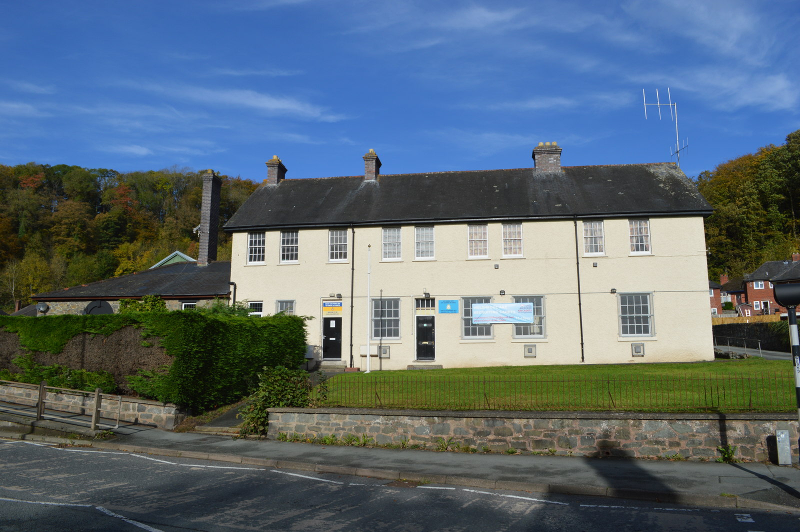
Brook Street drill hall, Welshpool

The Brook Street drill hall is a military installation in Welshpool. == History == An armoury was established at Welshpool in the mid-19th century. It...

Nearby Amenities

Located within 500m of 52.665962,-3.1856366
Place: farm
Lat/Long: 52.6666164/-3.1840321
The data included in this document is from www.openstreetmap.org. The data is made available under ODbL.

Have you been to Frochas?

Leave your review of Frochas below (or comments, questions and feedback).