Frodesley Lane
Settlement in Shropshire
England
Frodesley Lane
The requested URL returned error: 429 Too Many Requests
If you have any feedback on the listing, please let us know in the comments section below.
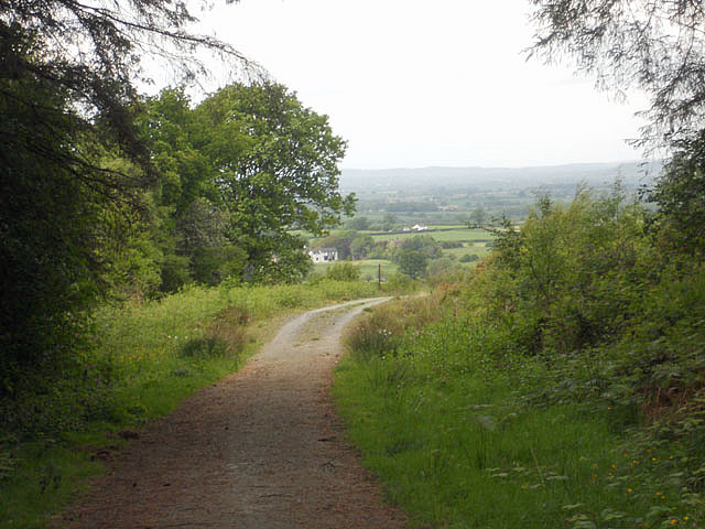
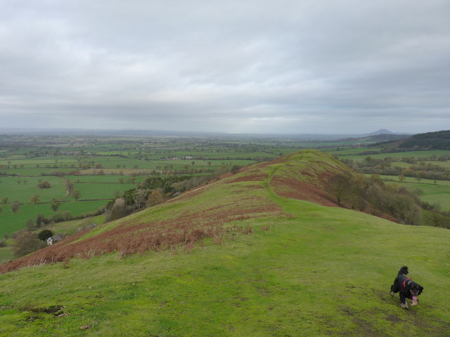
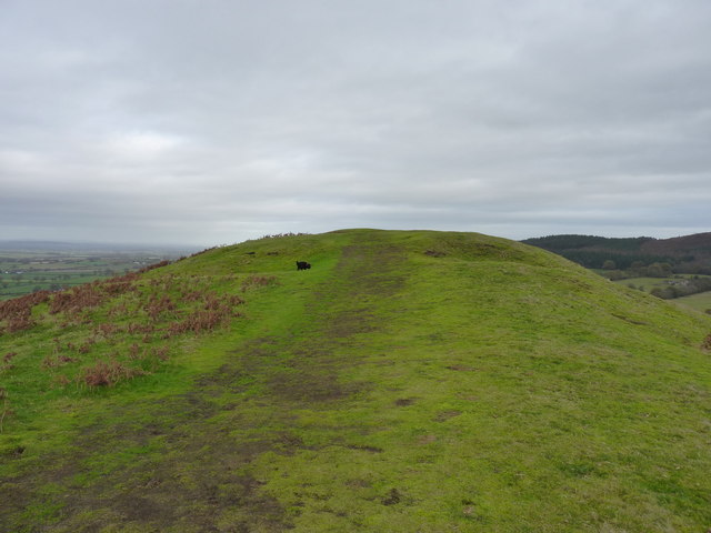
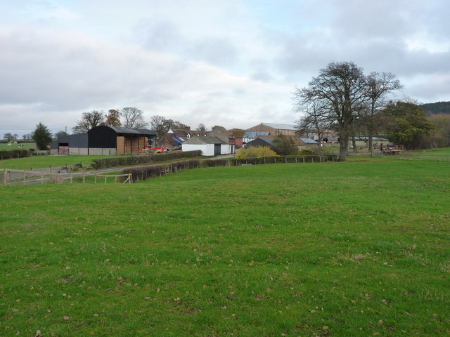
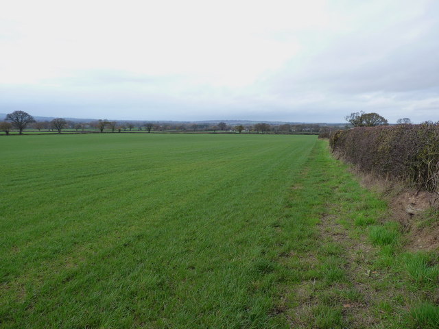
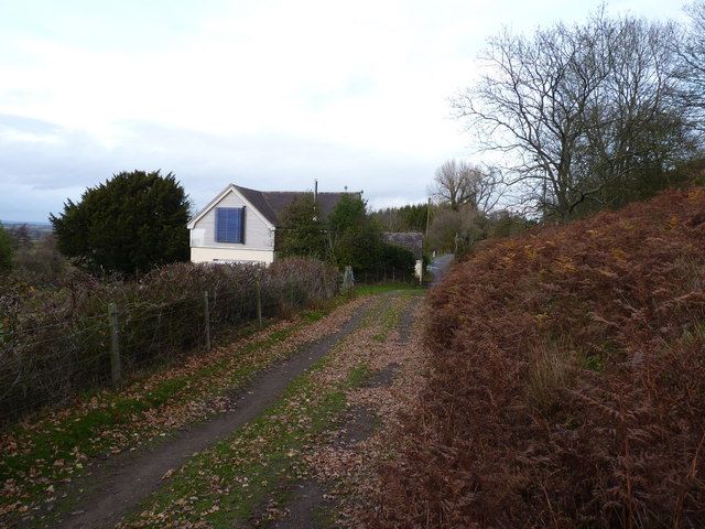
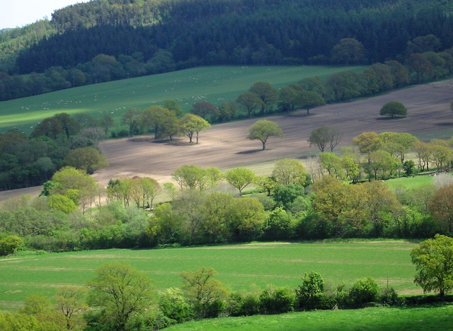
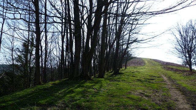
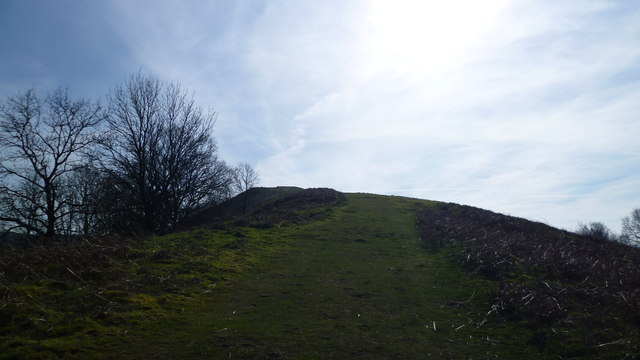
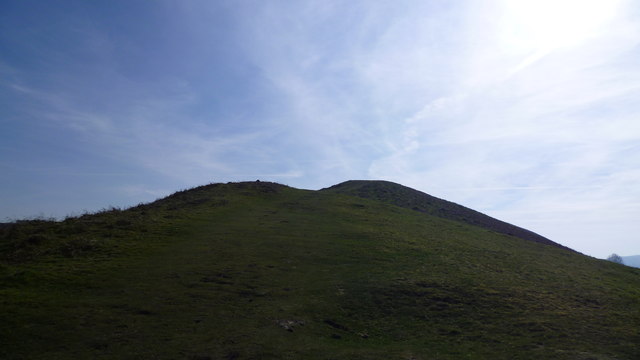
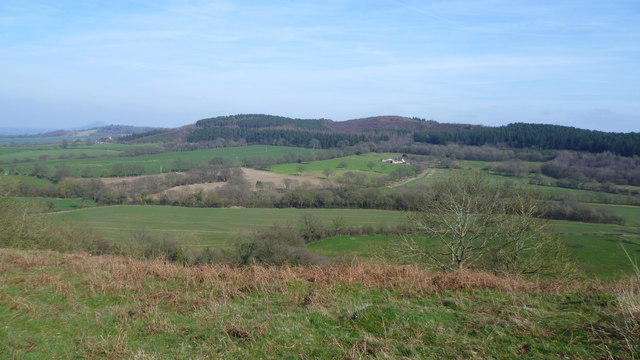
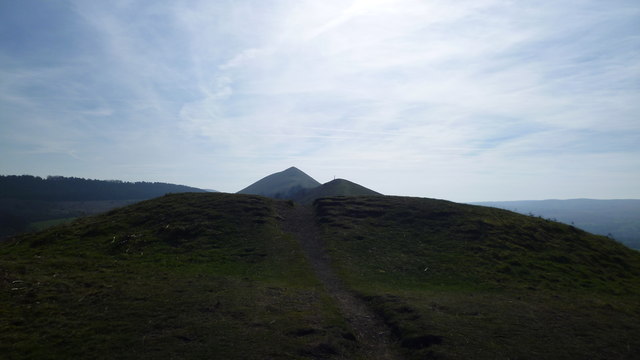
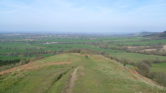
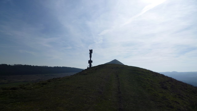
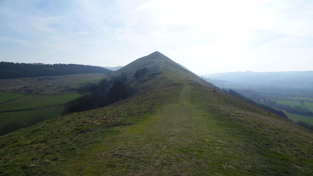
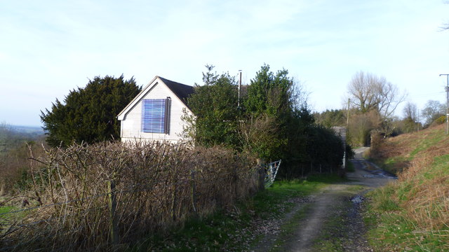
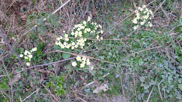
Frodesley Lane Images
Images are sourced within 2km of 52.599171/-2.7362291 or Grid Reference SJ5000. Thanks to Geograph Open Source API. All images are credited.

Frodesley Lane is located at Grid Ref: SJ5000 (Lat: 52.599171, Lng: -2.7362291)
Unitary Authority: Shropshire
Police Authority: West Merica
What 3 Words
///period.easels.asterisk. Near Longnor, Shropshire
Nearby Locations
Related Wikis

Longnor, Shropshire
Longnor is a village and civil parish off the A49 road, south of Dorrington and north of Leebotwood in Shropshire, England, with a population of 289. The...

Frodesley
Frodesley ( FRODZ-lee) is a tiny village and civil parish in the English county of Shropshire, and is situated partly within the Shropshire Hills Area...

Shropshire
Shropshire (; historically Salop and abbreviated Shrops) is a landlocked ceremonial county in the West Midlands of England, on the Welsh border. It is...

Leebotwood
Leebotwood ( lee-BOT-wood) is a small village and civil parish in Shropshire, England. It is about 9 miles (14 km) south of Shrewsbury and 3.5 miles (5...
Related Videos

Longnor, Old English Village Walk, English Countryside 4K
https://www.buymeacoffee.com/Daveswalks All support is hugely appreciated and it helps me keep the channel going! No talking ...

EXPERIENCE PEAK DISTRICT NATIONAL PARK 4K
The Travel Experience Studio presents a short film by Cam Mitchell, 'EXPERIENCE PEAK DISTRICT NATIONAL PARK 4K'.

STUNNING SUNRISE PARAGLIDING - The Lawley Shropshire
STUNNING SUNRISE PARAGLIDING - The Lawley Shropshire A Sunrise flight at my local paragliding site. The Lawley in the ...
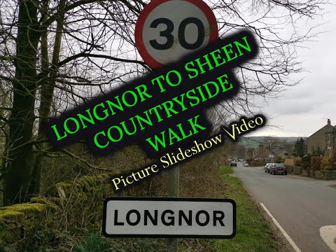
Longnor, Staffordshire Moorlands | Short Countryside Walk | Late March 2021 | Photo Slideshow.
Longnor, Staffordshire Moorlands. A Short Countryside Walk, Photo Slideshow Video. Late March 2021. My shortish, very ...
Nearby Amenities
Located within 500m of 52.599171,-2.7362291Have you been to Frodesley Lane?
Leave your review of Frodesley Lane below (or comments, questions and feedback).