Frog Island

Settlement in Leicestershire

England

Frog Island

Vulcan Factory Founded by Josiah Gimson, they built many engine here including <a href="https://www.geograph.org.uk/photo/1211677">SK5806 : Beam engines, Abbey Pumping Station, Leicester</a>. An earlier site on Welford road was where the engineers started. This site, next to the Midland main line covered 3.5 acres.
Vulcan Factory Credit: Ashley Dace

The requested URL returned error: 429 Too Many Requests

If you have any feedback on the listing, please let us know in the comments section below.
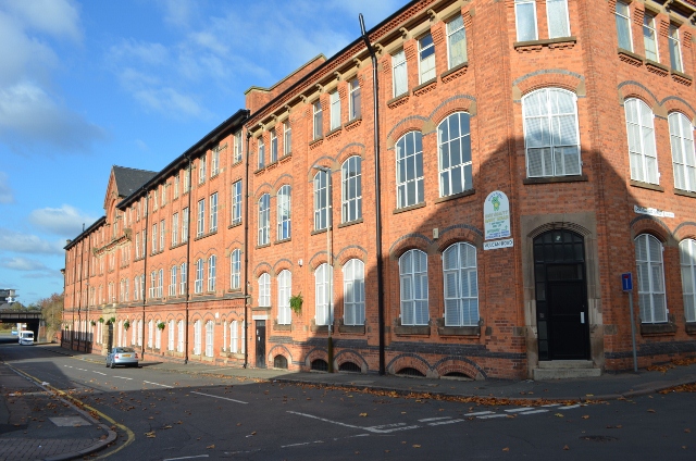
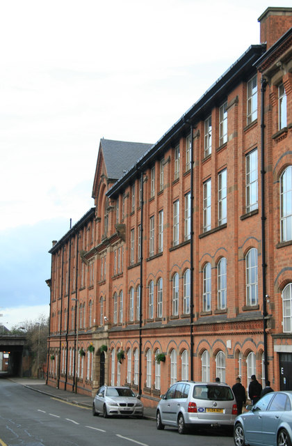
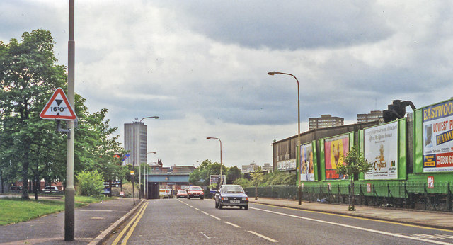
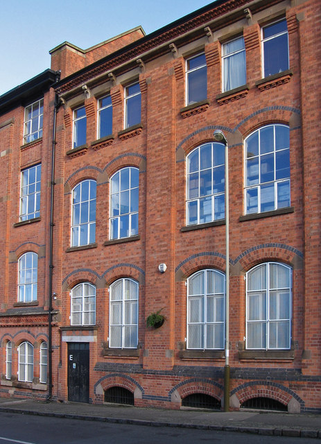
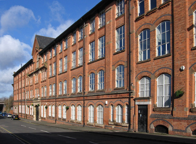
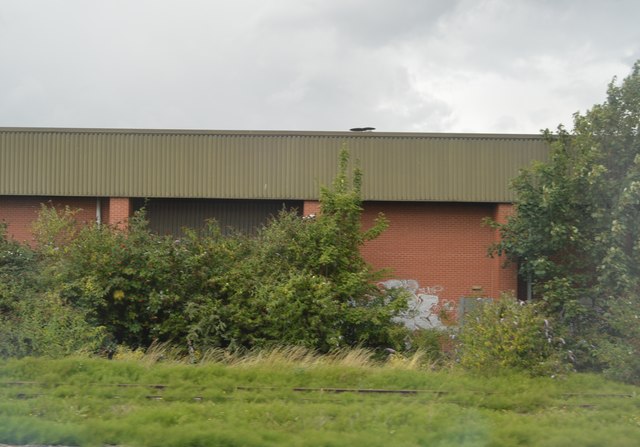
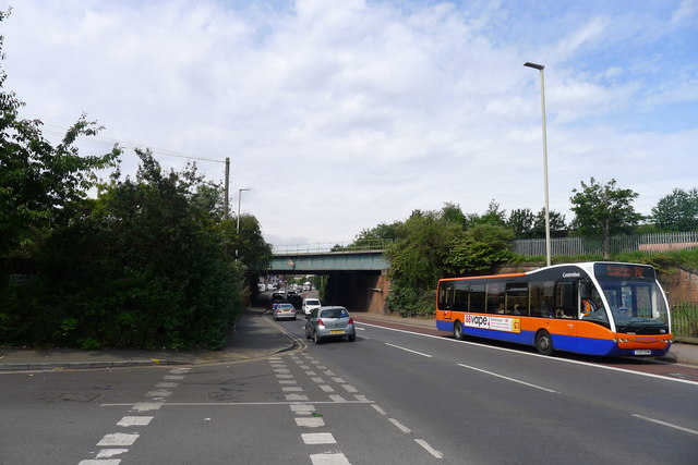
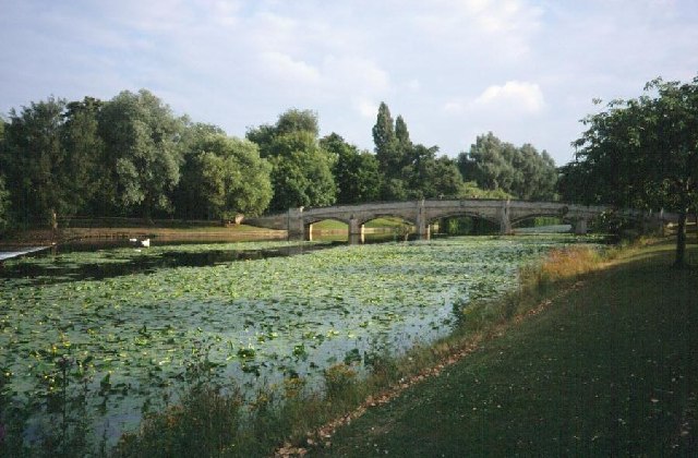
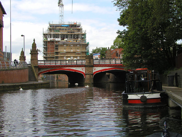
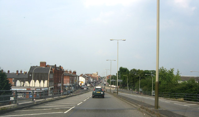
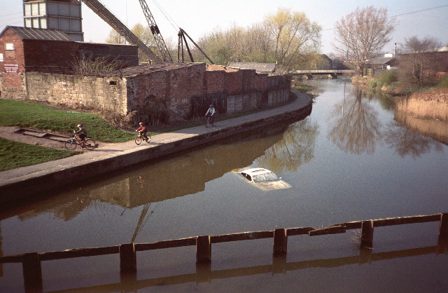
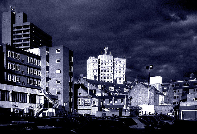
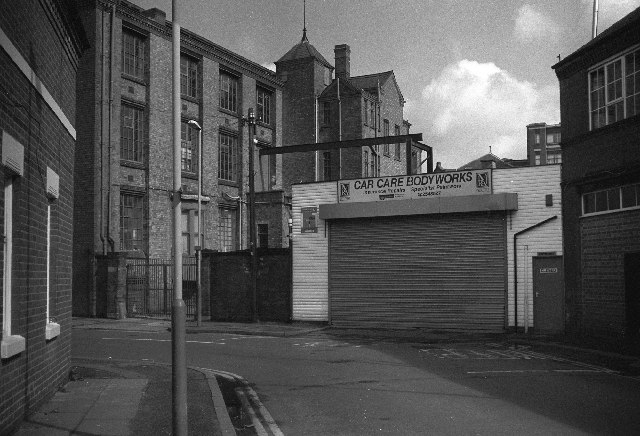
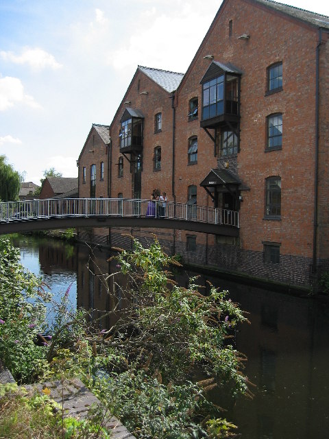
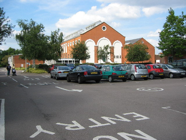
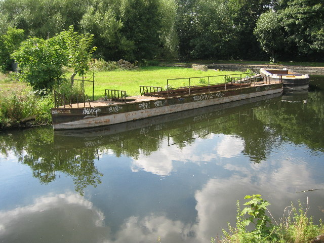
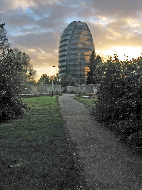
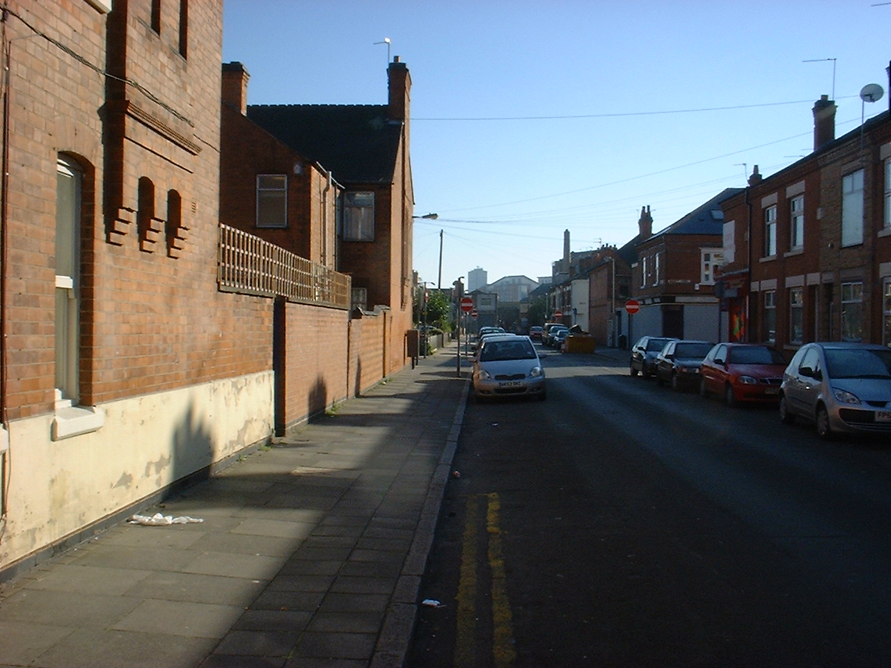
Frog Island Images

Images are sourced within 2km of 52.641912/-1.1433773 or Grid Reference SK5805. Thanks to Geograph Open Source API. All images are credited.

Vulcan Factory Founded by Josiah Gimson, they built many engine here including <a href="https://www.geograph.org.uk/photo/1211677">SK5806 : Beam engines, Abbey Pumping Station, Leicester</a>. An earlier site on Welford road was where the engineers started. This site, next to the Midland main line covered 3.5 acres.
Vulcan Factory
Founded by Josiah Gimson, they built many engine here including SK5806 : Beam engines, Abbey Pumping Station, Leicester. An earlier site on Welford road was where the engineers started. This site, next to the Midland main line covered 3.5 acres.
Vulcan Engine works, Leicester Founded by Josiah Gimson, they built many engines. An earlier site on Welford road was where the engineers started. This site, next to the Midland main line covered 3.5 acres. Above the central doorway is an engraved inscription - Engine Works.
Vulcan Engine works, Leicester
Founded by Josiah Gimson, they built many engines. An earlier site on Welford road was where the engineers started. This site, next to the Midland main line covered 3.5 acres. Above the central doorway is an engraved inscription - Engine Works.
Uppingham Road, approaching Humberstone Road station, 1995 View westward on A47 Uppingham Road, Leicester. The bridge ahead carries the ex-Midland main lines northwards from Leicester (London Road, until 4/5/70), Humberstone Road station being just to the left of this bridge.
Uppingham Road, approaching Humberstone Road station, 1995
View westward on A47 Uppingham Road, Leicester. The bridge ahead carries the ex-Midland main lines northwards from Leicester (London Road, until 4/5/70), Humberstone Road station being just to the left of this bridge.
Leicester - Vulcan Works - window detail
Leicester - Vulcan Works - Vulcan Road frontage For alternative views of this fine building, please see <a href="https://www.geograph.org.uk/photo/3868204">SK6004 : Leicester - Vulcan Works - window detail</a> and Chris Allen's <a href="https://www.geograph.org.uk/photo/2719796">SK5904 : Vulcan factory, Leicester</a>.
Leicester - Vulcan Works - Vulcan Road frontage
For alternative views of this fine building, please see SK6004 : Leicester - Vulcan Works - window detail and Chris Allen's SK5904 : Vulcan factory, Leicester.
Industrial unit by the railway line
Humberstone Road entering Leicester Passing beneath the Midland Mainline railway (Leicester and London St Pancras stations to the left)
Humberstone Road entering Leicester
Passing beneath the Midland Mainline railway (Leicester and London St Pancras stations to the left)
Abbey Park Following NCN route 6 into Leicester. Ornamental waterways in Abbey Park.
Abbey Park
Following NCN route 6 into Leicester. Ornamental waterways in Abbey Park.
West Bridge, Leicester
The Golden Mile, Leicester From Belgrave flyover, looking down Belgrave Road. This area of Leicester is predominantly Asian and this street is famous for its Indian jewellery shops, supposedly more than in Bond Street, hence the nick name.
(Note: Photographer was a passenger in the car.)
The Golden Mile, Leicester
From Belgrave flyover, looking down Belgrave Road. This area of Leicester is predominantly Asian and this street is famous for its Indian jewellery shops, supposedly more than in Bond Street, hence the nick name. (Note: Photographer was a passenger in the car.)
Grand Union Canal Leicester View from a road bridge looking towards the point where a branch line from the Midland Railway's Swannington route crossed the canal on a wooden lifting bridge.The stone wall encloses a stonemason's yard.
Grand Union Canal Leicester
View from a road bridge looking towards the point where a branch line from the Midland Railway's Swannington route crossed the canal on a wooden lifting bridge.The stone wall encloses a stonemason's yard.
Dover Street Car Park Leicester View from Dover Street, looking towards London Road.
Dover Street Car Park Leicester
View from Dover Street, looking towards London Road.
Factory  Rydal Street Leicester Typical of the older mix of housing, factories and scrapyards between the Royal Infirmary and Narborough Road. Expansion of the Infirmary and De Montfort University has led to redevelopment of this area for student housing, bars and shops.
Factory Rydal Street Leicester
Typical of the older mix of housing, factories and scrapyards between the Royal Infirmary and Narborough Road. Expansion of the Infirmary and De Montfort University has led to redevelopment of this area for student housing, bars and shops.
Abbey Park Campus, Leicester College The award winning conversion of old canal side warehousing accommodates the Campus library. It sits on a short branch of the Grand Union Canal.
Abbey Park Campus, Leicester College
The award winning conversion of old canal side warehousing accommodates the Campus library. It sits on a short branch of the Grand Union Canal.
Abbey Park Campus, Leicester College The Performing Arts and the Music Engineering departments are housed in the Lero Building at Abbey Park Campus. It is an old canal side industrial building. 
(Note, Nov 2007: This building along with others on the site have been sold off for redevelopment. Leicester College is building a new campus centre on the corner of the site up against Belgrave Flyover.)
Abbey Park Campus, Leicester College
The Performing Arts and the Music Engineering departments are housed in the Lero Building at Abbey Park Campus. It is an old canal side industrial building. (Note, Nov 2007: This building along with others on the site have been sold off for redevelopment. Leicester College is building a new campus centre on the corner of the site up against Belgrave Flyover.)
Grand Union Canal, Leicester Old barges at the junction of the canal dock with the Grand Union Canal. Abbey Park and the River Soar are behind the trees. Taken from Abbey Park Campus, Leicester College.
Grand Union Canal, Leicester
Old barges at the junction of the canal dock with the Grand Union Canal. Abbey Park and the River Soar are behind the trees. Taken from Abbey Park Campus, Leicester College.
Diwali lights, Belgrave Road, Leicester The Diwali Festival of Light is the major event in the Hindu Calendar. The celebrations in Leicester are renowned not only in Britain but world wide. The lights go up in October with a Diwali theme and, during November, the Hindu lamps are replaced by seasonal symbols to celebrate Christmas in December.  The decorated building is the Belgrave Neighbourhood Centre which is just in the featured square. This photograph was taken at 5.30 pm on 24th October, looking north from the boundary with <a href="https://www.geograph.org.uk/gridref/SK5905">SK5905</a>. See <span class="nowrap"><a title="http://search.leicester.gov.uk/search?q=diwali&spell=1&access=p&output=xml_no_dtd&site=mainsite&ie=UTF-8&client=LCC_LiveAug07&proxystylesheet=LCC_LiveAug07" rel="nofollow ugc noopener" href="http://search.leicester.gov.uk/search?q=diwali&spell=1&access=p&output=xml_no_dtd&site=mainsite&ie=UTF-8&client=LCC_LiveAug07&proxystylesheet=LCC_LiveAug07">Link</a><img style="margin-left:2px;" alt="External link" title="External link - shift click to open in new window" src="https://s1.geograph.org.uk/img/external.png" width="10" height="10"/></span> and click on the items for lots of info.
Diwali lights, Belgrave Road, Leicester
The Diwali Festival of Light is the major event in the Hindu Calendar. The celebrations in Leicester are renowned not only in Britain but world wide. The lights go up in October with a Diwali theme and, during November, the Hindu lamps are replaced by seasonal symbols to celebrate Christmas in December. The decorated building is the Belgrave Neighbourhood Centre which is just in the featured square. This photograph was taken at 5.30 pm on 24th October, looking north from the boundary with SK5905. See LinkExternal link and click on the items for lots of info.
National Space Centre, Leicester. A show piece science centre with a real space rocket. The building looks like an inflated balloon! More info at <span class="nowrap"><a title="http://www.nssc.co.uk/" rel="nofollow ugc noopener" href="http://www.nssc.co.uk/">Link</a><img style="margin-left:2px;" alt="External link" title="External link - shift click to open in new window" src="https://s1.geograph.org.uk/img/external.png" width="10" height="10"/></span> and <span class="nowrap"><a title="http://www.bbc.co.uk/leicester/virtual_tours/space_centre/index.shtml" rel="nofollow ugc noopener" href="http://www.bbc.co.uk/leicester/virtual_tours/space_centre/index.shtml">Link</a><img style="margin-left:2px;" alt="External link" title="External link - shift click to open in new window" src="https://s1.geograph.org.uk/img/external.png" width="10" height="10"/></span>
National Space Centre, Leicester.
A show piece science centre with a real space rocket. The building looks like an inflated balloon! More info at LinkExternal link and LinkExternal link
Show me another place!

Frog Island is located at Grid Ref: SK5805 (Lat: 52.641912, Lng: -1.1433773)

Unitary Authority: Leicester

Police Authority: Leicestershire

What 3 Words

///alone.cheeks.singer. Near Leicester, Leicestershire

Nearby Locations

Frog Island

Related Wikis

Frog Island, Leicester

Frog Island is an inner city area of Leicester, England, so named because it lies between the River Soar and the Soar Navigation (a continuation of the...

Woodgate, Leicester

Woodgate is an area in Leicester in Fosse Ward. It lies west of the River Soar and is an important entrance to the city leading on to Frog Island. A busy...

All Saints Church, Leicester

All Saints' Church is a redundant Anglican church in High Cross Street, Leicester, England. It is recorded in the National Heritage List for England as...

Leicester Central railway station

Leicester Central was a railway station in Leicester, England. It was situated to the west of the city centre, on Great Central Street which is today just...

Nearby Amenities

Located within 500m of 52.641912,-1.1433773
Traffic Signals
Lat/Long: 52.6448337/-1.1409822
Traffic Signals
Lat/Long: 52.6447178/-1.1406924
Traffic Signals
Lat/Long: 52.6382309/-1.1406667
Traffic Signals
Lat/Long: 52.6392291/-1.141412
Traffic Signals
Lat/Long: 52.6380942/-1.1413015
Crossing
Crossing: traffic_signals
Crossing Ref: toucan
Lat/Long: 52.6392855/-1.1412138
Seamark Type: gate
Waterway: lock_gate
Lat/Long: 52.6409063/-1.143415
Seamark Type: gate
Waterway: lock_gate
Lat/Long: 52.6410129/-1.143034
Traffic Calming: table
Lat/Long: 52.6393947/-1.1493812
Traffic Calming: table
Lat/Long: 52.6401804/-1.1501165
Traffic Signals
Lat/Long: 52.6447992/-1.1412005
Traffic Signals
Lat/Long: 52.6441577/-1.1490165
Traffic Signals
Lat/Long: 52.6440573/-1.1489799
Traffic Signals
Lat/Long: 52.6438828/-1.1499066
Traffic Signals
Lat/Long: 52.6441687/-1.1487204
Traffic Signals
Lat/Long: 52.6450903/-1.1411773
Traffic Signals
Lat/Long: 52.643942/-1.1487835
Traffic Signals
Lat/Long: 52.6438708/-1.1497961
Parking Entrance
Lat/Long: 52.6391538/-1.1392616
Parking Entrance
Lat/Long: 52.6390826/-1.1385788
CG Cars Peugeot 306 GTi 6 specialist
Shop: car_repair
Lat/Long: 52.6379711/-1.1415254
Barrier: height_restrictor
Maxheight: 2.0
Lat/Long: 52.6425995/-1.1386923
Crossing
Bicycle: yes
Crossing: traffic_signals
Crossing Ref: toucan
Lat/Long: 52.6417743/-1.1432935
Crossing
Crossing: traffic_signals
Crossing Ref: toucan
Lat/Long: 52.639189/-1.1415496
Crossing
Crossing: traffic_signals
Crossing Ref: toucan
Lat/Long: 52.6393479/-1.1415037
Crossing
Crossing: traffic_signals
Crossing Ref: toucan
Lat/Long: 52.6390969/-1.1412591
Crossing
Crossing: traffic_signals
Crossing Ref: toucan
Lat/Long: 52.639076/-1.141397
Traffic Signals
Lat/Long: 52.6402762/-1.1370123
Traffic Signals
Lat/Long: 52.6403144/-1.137235
Traffic Signals
Lat/Long: 52.6403819/-1.1374107
Traffic Signals
Lat/Long: 52.6405417/-1.1371077
Traffic Signals
Lat/Long: 52.6382109/-1.141119
Crossing
Bicycle: yes
Crossing: traffic_signals
Crossing Ref: toucan
Segregated: no
Lat/Long: 52.6382221/-1.141204
Crossing
Crossing: traffic_signals
Crossing Ref: toucan
Lat/Long: 52.6383209/-1.1407736
Traffic Signals
Lat/Long: 52.6383845/-1.1407527
Pub
Lock 42
Lat/Long: 52.641064/-1.1433856
The Demostaph
Source Location: Bing
Source Name: http://www.panoramio.com/photo/8854734
Tourism: viewpoint
Lat/Long: 52.6381269/-1.1449064
Public Transport: station
Railway: station
Train: yes
Usage: tourism
Wheelchair: no
Lat/Long: 52.6444735/-1.1380655
Traffic Signals
Lat/Long: 52.6448771/-1.1410978
Charging Station
Highcross Electric Car Charging Station
Operator: Highcross Shopping Centre
Lat/Long: 52.6388161/-1.1386725
Post Box
Brand: Royal Mail
Brand Wikidata: Q638098
Brand Wikipedia: en:Royal Mail
Collection Times: Mo-Fr 18:30; Sa 11:30
Operator: Royal Mail
Operator Wikidata: Q638098
Post Box Type: pillar
Ref: LE1 126
Royal Cypher: EIIR
Royal Cypher Wikidata: Q33102113
Source: survey
Lat/Long: 52.6397857/-1.1391601
Bicycle Parking
Highcross Bicycle Store
Covered: yes
Source: survey
Lat/Long: 52.6389389/-1.1385112
Clothes: dance_wear
Shop: clothes
Source: survey
Lat/Long: 52.6397403/-1.1389503
Crossing
Bicycle: yes
Crossing: traffic_signals
Crossing Ref: toucan
Lat/Long: 52.6381612/-1.1413109
Crossing
Crossing: traffic_signals
Crossing Ref: toucan
Lat/Long: 52.6383224/-1.1406631
Crossing
Crossing: traffic_signals
Kerb: lowered
Tactile Paving: yes
Lat/Long: 52.6381437/-1.1411774
Crossing
Crossing: traffic_signals
Crossing Ref: pelican
Lat/Long: 52.6382423/-1.1407419
Crossing
Crossing: traffic_signals
Crossing Ref: pelican
Lat/Long: 52.6390246/-1.1413023
Bench
Lat/Long: 52.6385008/-1.1395876
Entrance: yes
Lat/Long: 52.6402962/-1.1365178
Carl's T.V. Aerials, Satellite & CCTV
Shop: electronics
Lat/Long: 52.6436151/-1.1466417
Stayfree Music
Addr City: Leicester
Addr Housenumber: 2-4
Addr Postcode: LE3 5AG
Addr Street: Frog Island
Phone: +44 116 223 0303
Shop: musical_instrument
Website: https://www.stayfreemusic.co.uk/services.html
Lat/Long: 52.6411378/-1.1431296
Entrance: main
Lat/Long: 52.6428765/-1.1411242
Entrance: yes
Lat/Long: 52.6415345/-1.1390429
Entrance: yes
Lat/Long: 52.6414218/-1.1389617
Entrance: yes
Lat/Long: 52.6416708/-1.1391896
Entrance: yes
Lat/Long: 52.6416161/-1.1391491
JC Furniture Warehouse
Addr City: Leicester
Addr Housenumber: 47-55
Addr Postcode: LE3 5BZ
Addr Street: Northgate Street
Phone: +44 116 230 2569
Shop: furniture
Lat/Long: 52.641093/-1.1421983
Bicycle Parking
Access: customers
Bicycle Parking: rack
Capacity: 10
Covered: yes
Lat/Long: 52.6439904/-1.1470692
Crossing
Crossing: traffic_signals
Lat/Long: 52.6438219/-1.1468391
Crossing
Crossing: marked
Lat/Long: 52.6404305/-1.1371857
Crossing
Crossing: marked
Lat/Long: 52.6404924/-1.1370405
Crossing
Crossing: marked
Lat/Long: 52.6402386/-1.1371825
Crossing
Crossing: marked
Lat/Long: 52.6404251/-1.1374068
Crossing
Crossing: marked
Lat/Long: 52.6403345/-1.1371711
Board Type: cycling
Information: board
Lit: no
Operator: Leicester City Council
Support: pole
Tourism: information
Lat/Long: 52.6423243/-1.1482744
Board Type: cycling
Information: board
Lit: no
Operator: Leicester City Council
Support: pole
Tourism: information
Lat/Long: 52.6382839/-1.1460106
Generator Method: photovoltaic
Generator Output Electricity: yes
Generator Source: solar
Generator Type: solar_photovoltaic_panel
Location: roof
Power: generator
Lat/Long: 52.6380499/-1.1396605
Generator Method: photovoltaic
Generator Output Electricity: yes
Generator Source: solar
Generator Type: solar_photovoltaic_panel
Location: roof
Power: generator
Lat/Long: 52.6380922/-1.1397571
Bench
Backrest: yes
Lat/Long: 52.639286/-1.1484247
Speed Camera
Lat/Long: 52.6445516/-1.1408664
Bus Stop
Abbey Gate
Public Transport: platform
Lat/Long: 52.6433696/-1.1445167
Bus Stop
Dunton Street
Public Transport: platform
Lat/Long: 52.6439506/-1.1474522
Bus Stop
Dunton Street
Public Transport: platform
Lat/Long: 52.6437344/-1.1462873
The data included in this document is from www.openstreetmap.org. The data is made available under ODbL.

Have you been to Frog Island?

Leave your review of Frog Island below (or comments, questions and feedback).