Frogmill

Settlement in Berkshire

England

Frogmill

A4155 near Medmenham Mill
A4155 near Medmenham Mill Credit: Colin Pyle

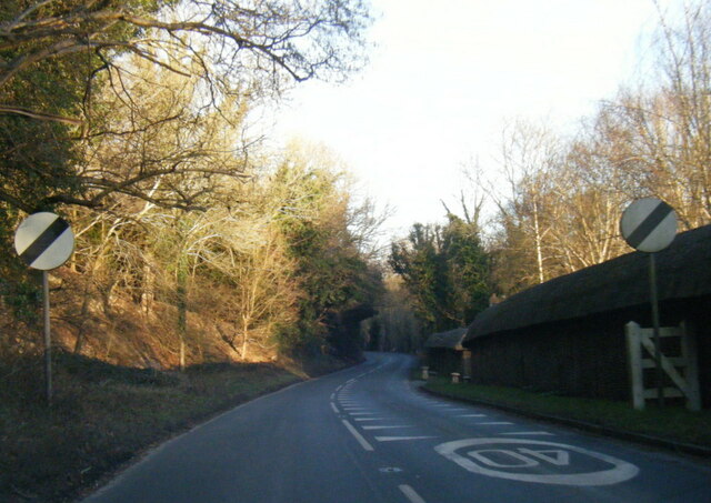
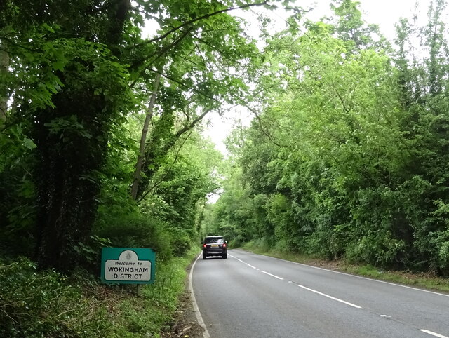
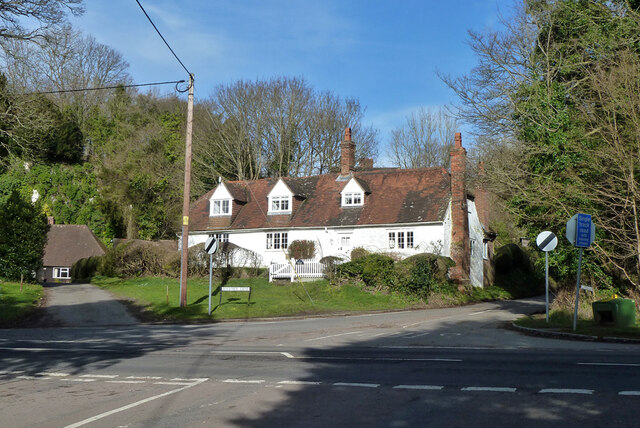
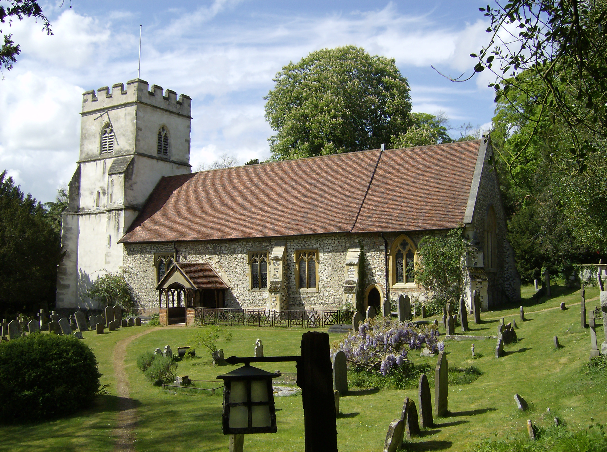
Frogmill is a small village located in the county of Berkshire, England. Situated approximately 5 miles west of Reading, it is surrounded by picturesque countryside and is known for its tranquil and idyllic setting. The village is part of the civil parish of Stratfield Mortimer.

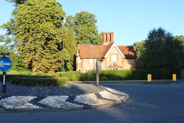
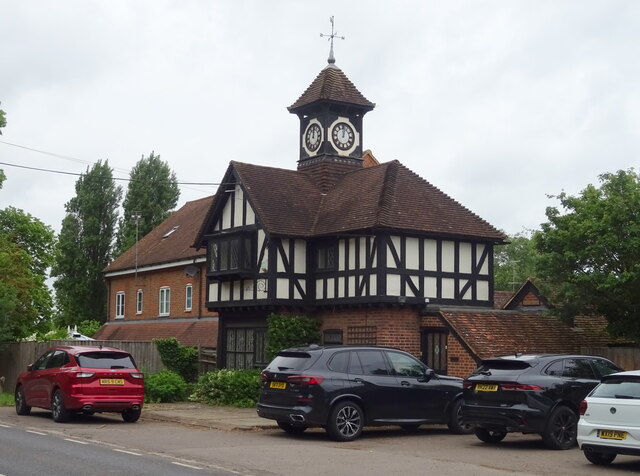
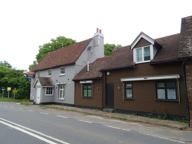
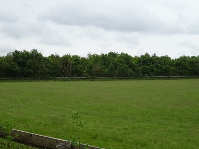
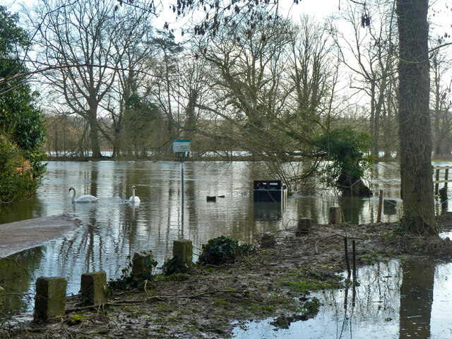
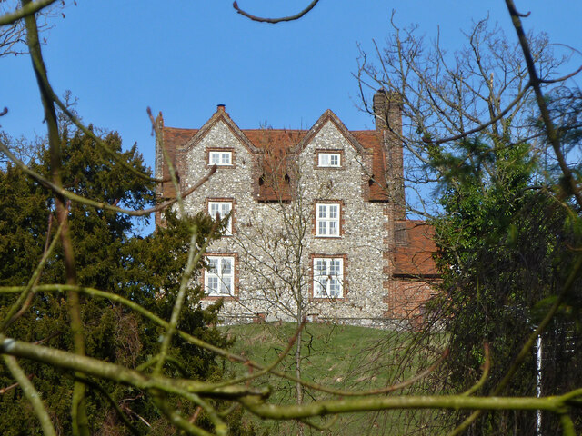
Frogmill is home to a relatively small population, with only a handful of houses and a few local amenities. The village retains a rural charm, with its traditional architecture and well-maintained gardens. The main focal point of the village is the Frogmill Pond, a small body of water that attracts local wildlife and serves as a popular spot for fishing and leisurely walks.

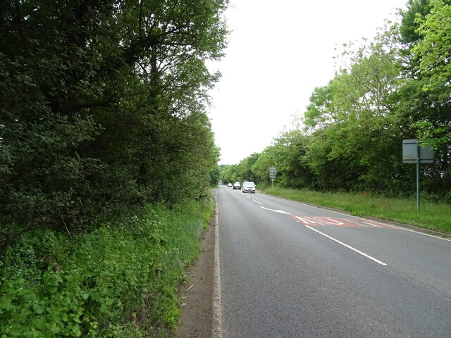
The village is well-connected to the nearby towns and cities, with good road links and public transportation options. Despite its small size, Frogmill benefits from its proximity to the larger town of Mortimer, where residents can find a wider range of amenities such as shops, schools, and healthcare facilities.

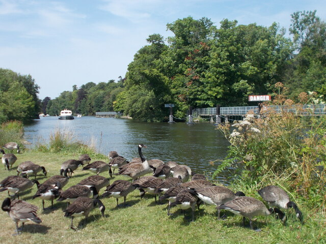
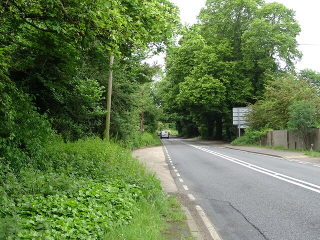
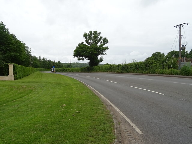
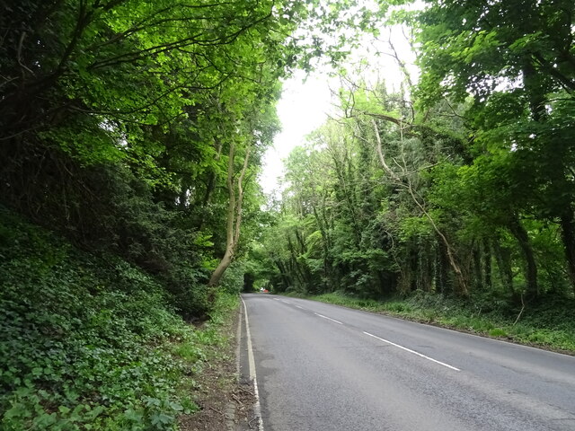
The surrounding area offers plenty of opportunities for outdoor activities, with numerous walking and cycling routes winding through the beautiful Berkshire countryside. Frogmill is also within easy reach of popular attractions such as Basildon Park and Wellington Country Park, which attract visitors from both near and far.

In summary, Frogmill is a charming and peaceful village in the heart of Berkshire, offering a serene and rural lifestyle while still benefiting from easy access to nearby amenities and attractions.

If you have any feedback on the listing, please let us know in the comments section below.

Frogmill Images

Images are sourced within 2km of 51.543156/-0.83268133 or Grid Reference SU8183. Thanks to Geograph Open Source API. All images are credited.

A4155 near Medmenham Mill
Roundabout on Henley Road, Bockmer End This is to service a small housing estate on the right and Danesfield House Hotel on the right. <span class="nowrap"><a title="https://danesfieldhouse.co.uk/" rel="nofollow ugc noopener" href="https://danesfieldhouse.co.uk/">Link</a><img style="margin-left:2px;" alt="External link" title="External link - shift click to open in new window" src="https://s1.geograph.org.uk/img/external.png" width="10" height="10"/></span>
Roundabout on Henley Road, Bockmer End
This is to service a small housing estate on the right and Danesfield House Hotel on the right. LinkExternal link
Canada geese near to Hurley Lock
Henley Road, Bockmer End
House with clocktower, Hurley Bottom
A4130, Hurley Bottom Towards Henley-on-Thames.
A4130, Hurley Bottom
Towards Henley-on-Thames.
Gatehouses to Robinswood Off Henley Road (A4130).
Gatehouses to Robinswood
Off Henley Road (A4130).
Henley Road (A4130) Towards Henley-on-Thames.
Henley Road (A4130)
Towards Henley-on-Thames.
The Black Boys Inn Now closed.
The Black Boys Inn
Now closed.
Grazing and woodland Off Henley Road (A4130).
Grazing and woodland
Off Henley Road (A4130).
Henley Road (A4130) Towards Henley-on-Thames.
Henley Road (A4130)
Towards Henley-on-Thames.
Henley Road (A4130), Rosehill Towards Henley-on-Thames.
Henley Road (A4130), Rosehill
Towards Henley-on-Thames.
Welcome to Wokingham District On Henley Road (A4130) towards Henley-on-Thames.
Welcome to Wokingham District
On Henley Road (A4130) towards Henley-on-Thames.
Where Medmenham Ferry once was There is a lot of water coming down the Thames. The apparent island across the water is the usual far bank, and the footpath upstream from this point along the near bank was submerged.
Where Medmenham Ferry once was
There is a lot of water coming down the Thames. The apparent island across the water is the usual far bank, and the footpath upstream from this point along the near bank was submerged.
Puddle on Ferry Lane, Medmenham
House, Lodge Farm, Medmenham A grade II*(star) listed building, 17th century.
House, Lodge Farm, Medmenham
A grade II*(star) listed building, 17th century.
Gillmans Cottage, Medmenham A grade II listed building, 17th and early 18th centuries.
Gillmans Cottage, Medmenham
A grade II listed building, 17th and early 18th centuries.
Danesfield House Dramatically perched on a cliff overlooking the Thames and surrounded by 65 acres of gardens, the present house was built in 1901 as a family home for Robert William Hudson, the son of a soap tycoon.

During the Second World War, the house was requisitioned by the RAF as a base to process aerial reconnaissance photos of bombing targets in Germany.  The photos were taken by aircraft based at RAF Benson.  Staff at Danesfield (RAF Medmenham) worked closely with colleagues producing maps at nearby Hughenden Manor (RAF Hillside).

The house was sold to the milk processing company Carnation in 1977 to become its corporate headquarters. 

Since July 1991, Danesfield House has been a luxury hotel.
Danesfield House
Dramatically perched on a cliff overlooking the Thames and surrounded by 65 acres of gardens, the present house was built in 1901 as a family home for Robert William Hudson, the son of a soap tycoon. During the Second World War, the house was requisitioned by the RAF as a base to process aerial reconnaissance photos of bombing targets in Germany. The photos were taken by aircraft based at RAF Benson. Staff at Danesfield (RAF Medmenham) worked closely with colleagues producing maps at nearby Hughenden Manor (RAF Hillside). The house was sold to the milk processing company Carnation in 1977 to become its corporate headquarters. Since July 1991, Danesfield House has been a luxury hotel.
Show me another place!

Frogmill is located at Grid Ref: SU8183 (Lat: 51.543156, Lng: -0.83268133)

Unitary Authority: Windsor and Maidenhead

Police Authority: Thames Valley

What 3 Words

///smuggled.voting.tomato. Near Hurley, Berkshire

Nearby Locations

Frogmill

Related Wikis

Black Boy Island

Black Boy Island is an uninhabited island in the River Thames in England between the villages of Medmenham, Buckinghamshire and Hurley, Berkshire. It is...
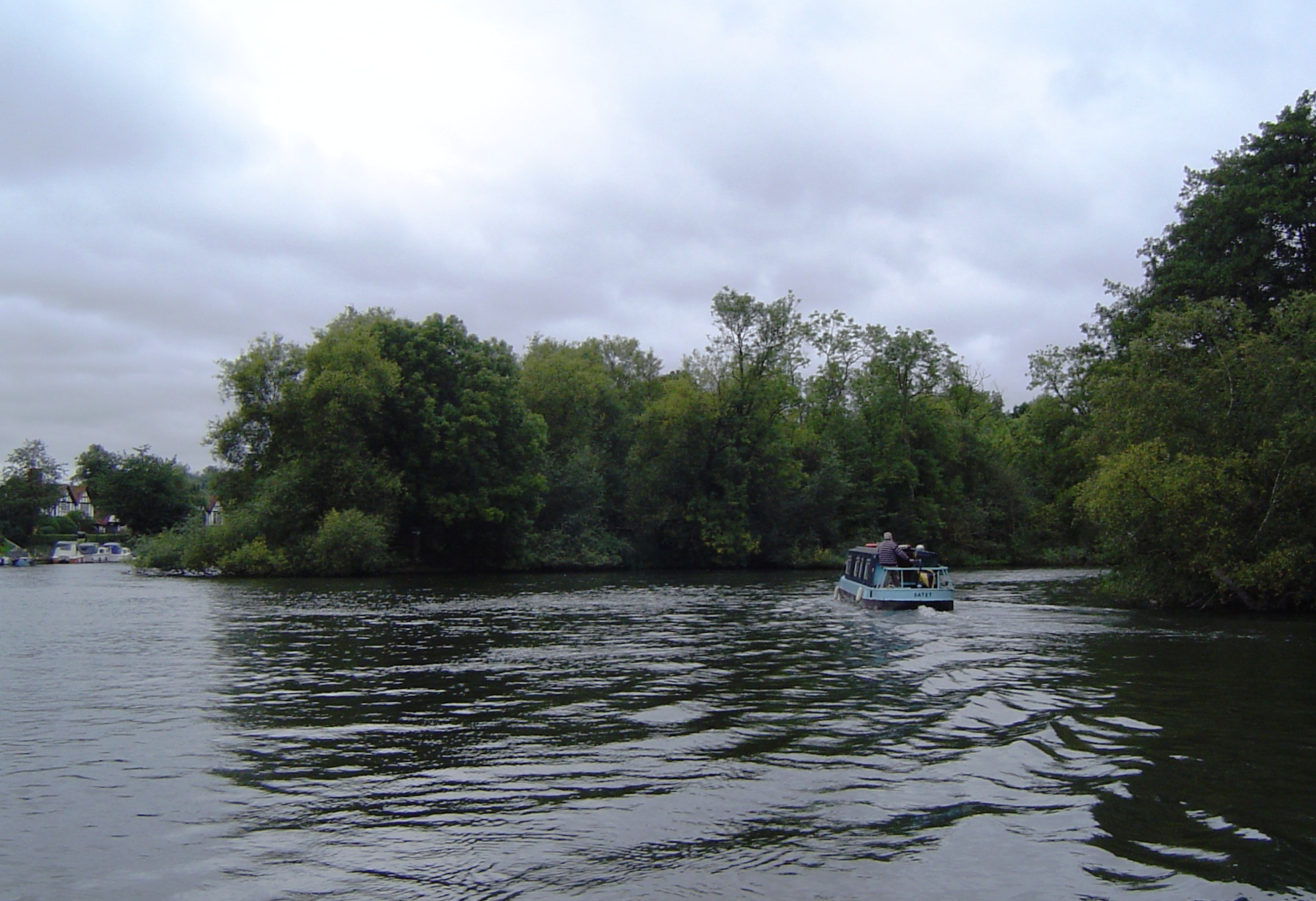
Frog Mill Ait

Frog Mill Ait is an island in the River Thames in England between the villages of Medmenham, Buckinghamshire and Hurley, Berkshire. It is situated on the...

Rodbed Wood

Rodbed Wood is a 2.2-hectare (5.4-acre) biological Site of Special Scientific Interest in Medmenham in Buckinghamshire. It is in the Chilterns Area of...
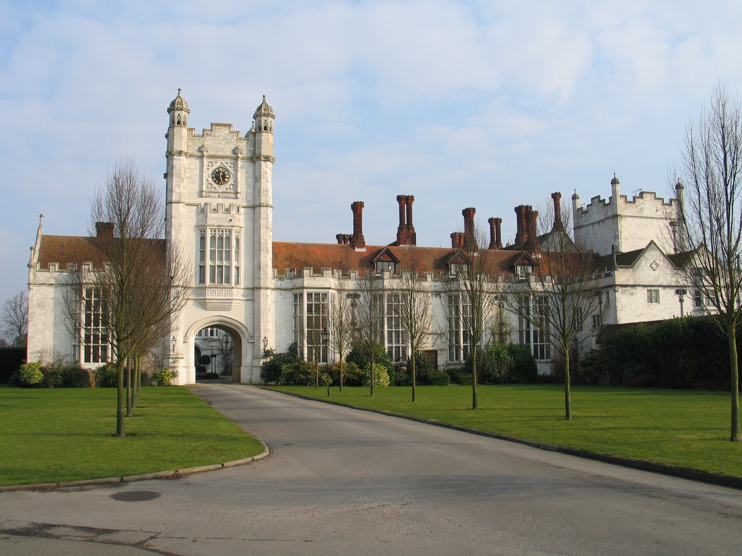
RAF Medmenham

RAF Medmenham is a former Royal Air Force station based at Danesfield House near Medmenham, in Buckinghamshire, England. Activities there specialised in...
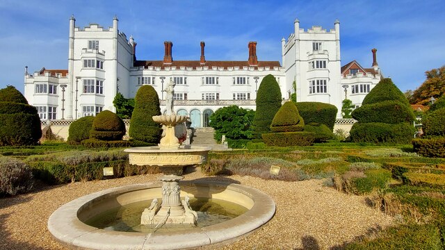
Danesfield House

Danesfield House in Medmenham, near Marlow, Buckinghamshire, England, in the Chiltern Hills is a former country house now used as a hotel and spa. The...

Medmenham

Medmenham () is a village and civil parish in south-west Buckinghamshire, England. It is on the River Thames, about 3+1⁄2 miles (5.6 km) southwest of Marlow...

Hurley Chalk Pit

Hurley Chalk Pit is a 1-hectare (2.5-acre) nature reserve west of Maidenhead in Berkshire. It is managed by the Berkshire, Buckinghamshire and Oxfordshire...

The Olde Bell, Hurley

The Olde Bell is a hotel and public house in Hurley, Berkshire, England, located on the bank of the River Thames. It is claimed to be the oldest hotel...

Nearby Amenities

Located within 500m of 51.543156,-0.83268133
Bus Stop
Black Boy Inn
Bus: yes
Naptan AtcoCode: 036006001422
Naptan Bearing: W
Naptan CommonName: Black Boy Inn
Naptan Indicator: opp
Naptan Landmark: Black Boy Lane
Naptan NaptanCode: winapgj
Naptan Street: Henley Road
Naptan Verified: no
Public Transport: platform
Source: naptan_import
Lat/Long: 51.5397659/-0.8317742
Bus Stop
Black Boy Inn
Bus: yes
Local Ref: NR
Naptan AtcoCode: 036006002422
Naptan Bearing: E
Naptan CommonName: Black Boy Inn
Naptan Indicator: nr
Naptan Landmark: Black Boy Lane
Naptan NaptanCode: winatdw
Naptan Street: Henley Road
Naptan Verified: no
Public Transport: platform
Source: naptan_import
Lat/Long: 51.5399021/-0.831915
Barrier: kissing_gate
Lat/Long: 51.5458953/-0.8354936
Parking
Access: customers
Lat/Long: 51.5402799/-0.830515
Give Way
Direction: backward
Lat/Long: 51.5400213/-0.831265
The data included in this document is from www.openstreetmap.org. The data is made available under ODbL.

Have you been to Frogmill?

Leave your review of Frogmill below (or comments, questions and feedback).