Frith Hill
Settlement in Surrey Waverley
England
Frith Hill
Frith Hill is a picturesque area located in the county of Surrey, England. Situated just outside the town of Godalming, it is known for its stunning natural beauty and panoramic views. Frith Hill is a popular destination for both locals and tourists, offering a tranquil escape from the hustle and bustle of city life.
The hill itself is part of the Surrey Hills Area of Outstanding Natural Beauty, which highlights its importance as a protected landscape. Covered in lush green grass and surrounded by ancient woodlands, Frith Hill provides a haven for wildlife and offers various walking trails for visitors to explore.
From the top of Frith Hill, one can enjoy breathtaking vistas of the surrounding countryside, including the Surrey Hills and the North Downs. On a clear day, it is even possible to see as far as the South Downs National Park. The hill is often visited by photographers and nature enthusiasts seeking to capture its beauty.
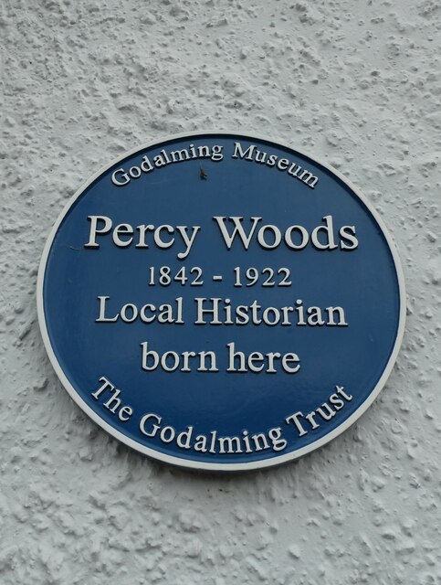
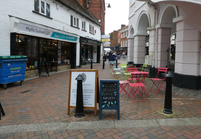
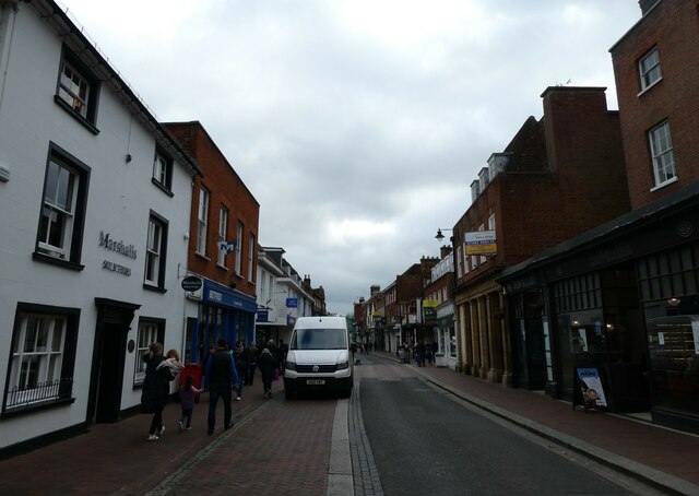
Aside from its natural splendor, Frith Hill also has historical significance. It is home to several Bronze Age burial mounds, providing a glimpse into the area's ancient past. Additionally, Frith Hill is located near the historic town of Godalming, which offers a range of amenities including shops, restaurants, and cultural attractions.
In summary, Frith Hill is a captivating destination in Surrey, offering stunning views, rich biodiversity, and a touch of history. Whether you are seeking a peaceful stroll amidst nature or a chance to immerse yourself in the area's heritage, Frith Hill is sure to impress.
If you have any feedback on the listing, please let us know in the comments section below.
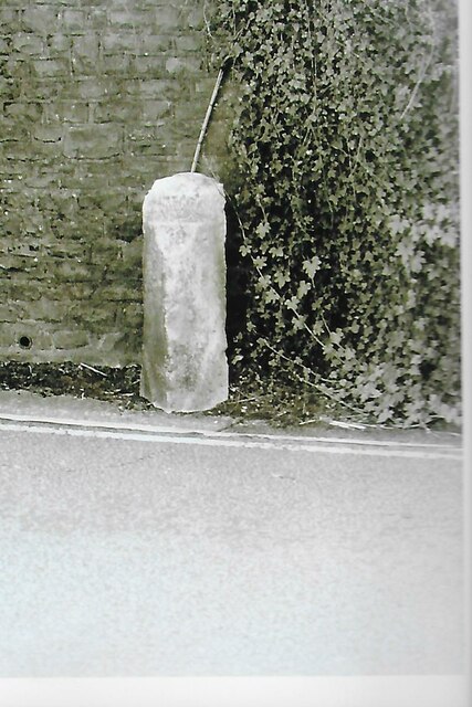
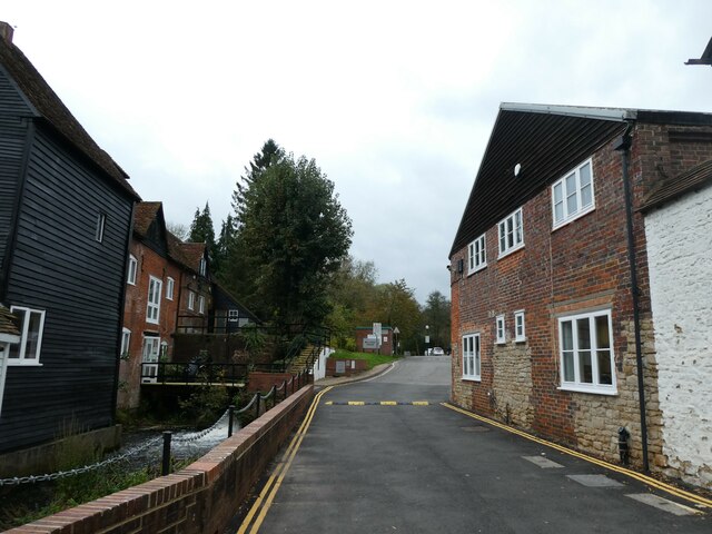
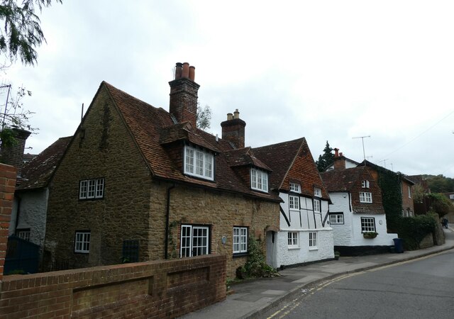
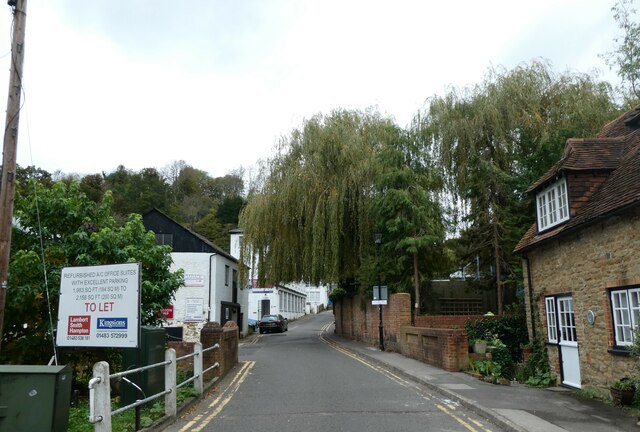
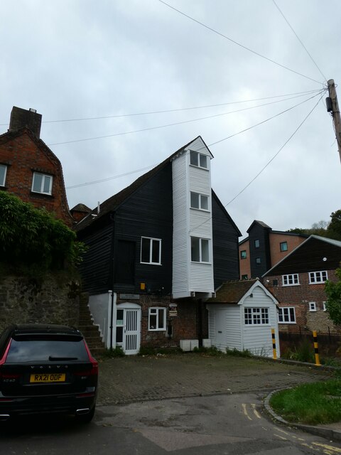
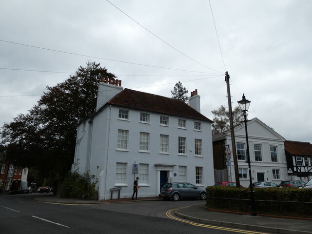
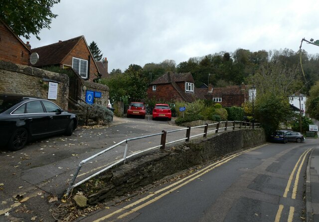
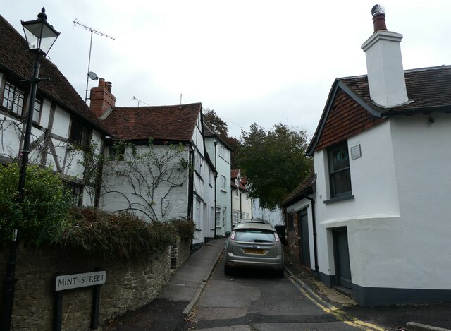
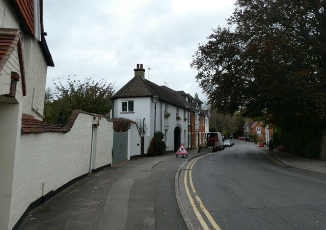
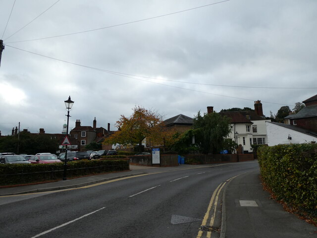
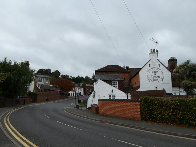
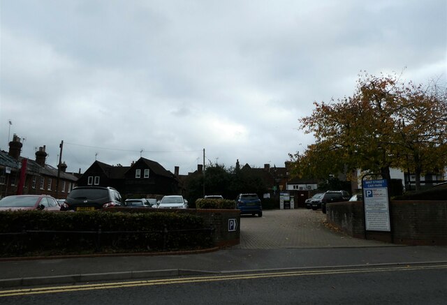
Frith Hill Images
Images are sourced within 2km of 51.194179/-0.61620233 or Grid Reference SU9644. Thanks to Geograph Open Source API. All images are credited.
Frith Hill is located at Grid Ref: SU9644 (Lat: 51.194179, Lng: -0.61620233)
Administrative County: Surrey
District: Waverley
Police Authority: Surrey
What 3 Words
///softly.script.tape. Near Godalming, Surrey
Nearby Locations
Related Wikis

Charterhouse School
Charterhouse is a public school (English boarding school for pupils aged 13–18) in Godalming, Surrey, England. Originally founded by Thomas Sutton in 1611...

River Ock, Surrey
The River Ock is a tributary of the River Wey in Surrey, England. == Course == The river has two great sources in the west of Hambledon and two similar...

Farncombe Wood
Farncombe Wood is a 1-hectare (2.5-acre) nature reserve in Farncombe in Surrey. It is owned and managed by the Surrey Wildlife Trust.This steeply sloping...

Church of St Peter & St Paul, Godalming
The Church of St. Peter and St. Paul is a parish church of the Church of England in Godalming, Surrey. The parish is mostly urban and excludes rural outskirts...

Farncombe
Farncombe, historically Fernecome, is a village and peripheral settlement of Godalming in Waverley, Surrey, England and is approximately 0.8 miles (1.3...
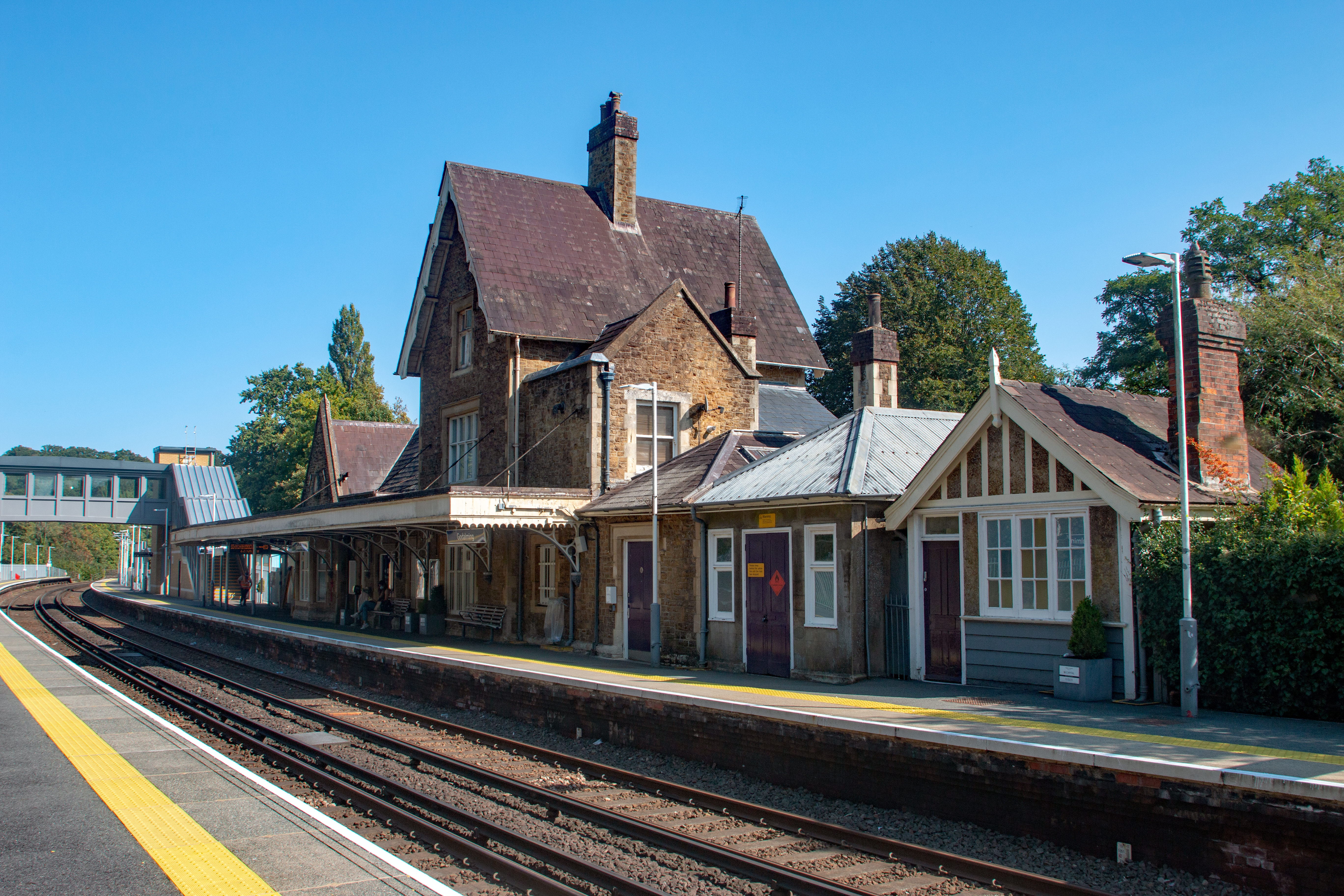
Godalming railway station
Godalming railway station is a stop on the Portsmouth Direct Line, 34 miles 37 chains (55.5 km) down the line from London Waterloo. The station, opened...
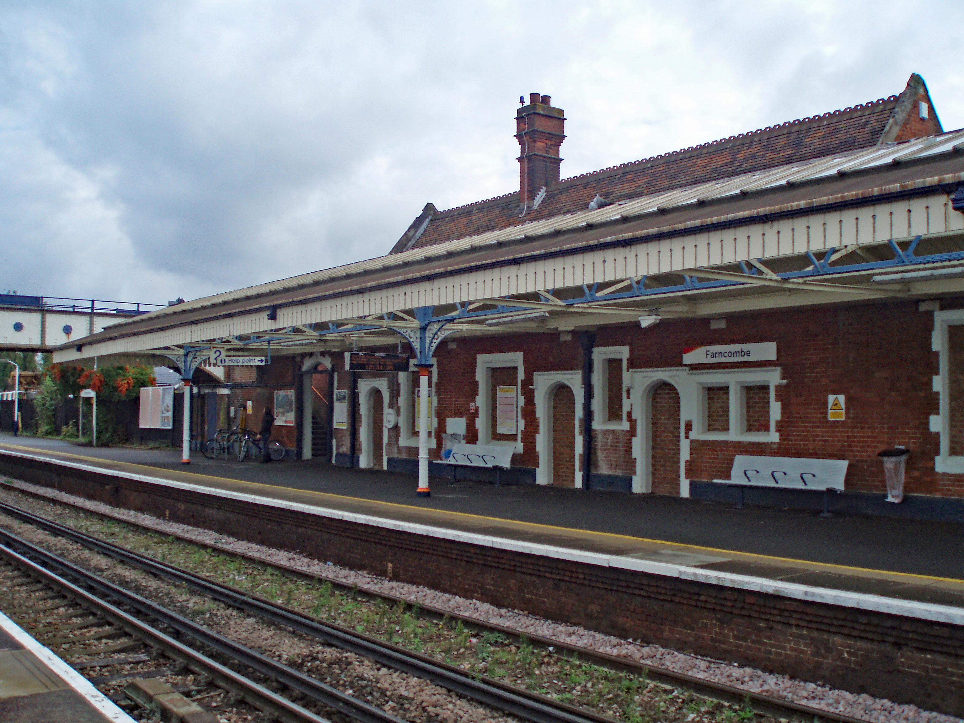
Farncombe railway station
Farncombe railway station opened in 1897 as a minor stop on the Portsmouth Direct Line between Guildford and Godalming, England. It is said to have been...

The Burys
The Burys at Godalming, Surrey was used as the venue for nine first-class cricket matches between 1821 and 1830. It was used by the Godalming Cricket Club...
Related Videos

Travel and Tourism BTEC (Case Study)
I chose the BTEC in Travel and Tourism because I always knew that it was an industry that I wanted to work in but I was unsure ...

Camberley U3A Walking Group 6
Date: Thursday 18th May 2017 Camberley U3A Walking Group 6 A 2 hour walk in the area of Puttenham and Hurtmore in Surrey.

Walking at Broadwater Park - Natural sound and view - Farncombe, Godalming, Guildford
City fox walking at Broadwater Park - Farncombe , Godalming , Guildford Most beautiful tourist place in surrey, United Kingdom.

Travel and Tourism BTEC Level 3
Welcome to an overview of the BTEC in Travel and Tourism course at Godalming College.
Nearby Amenities
Located within 500m of 51.194179,-0.61620233Have you been to Frith Hill?
Leave your review of Frith Hill below (or comments, questions and feedback).