Godalming
Civil Parish in Surrey Waverley
England
Godalming
Godalming is a civil parish located in the county of Surrey in England. Situated on the banks of the River Wey, it lies approximately 30 miles southwest of London. With a population of around 22,000, Godalming is known for its charming and historic character.
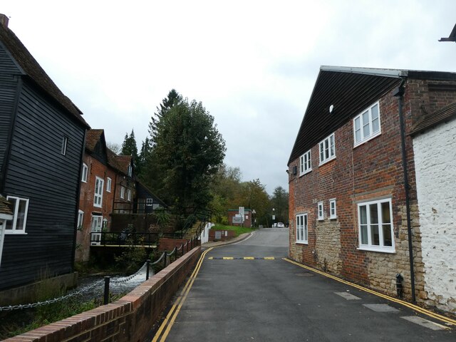
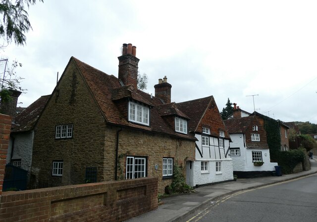
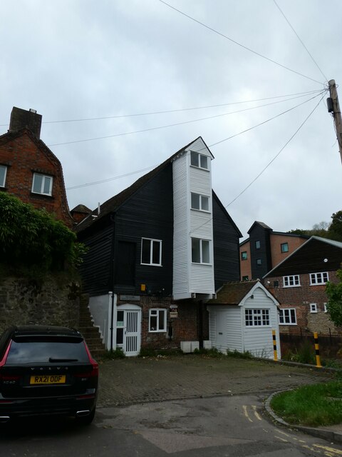
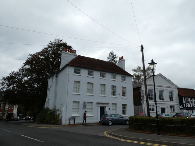
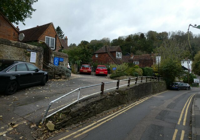
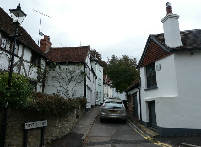
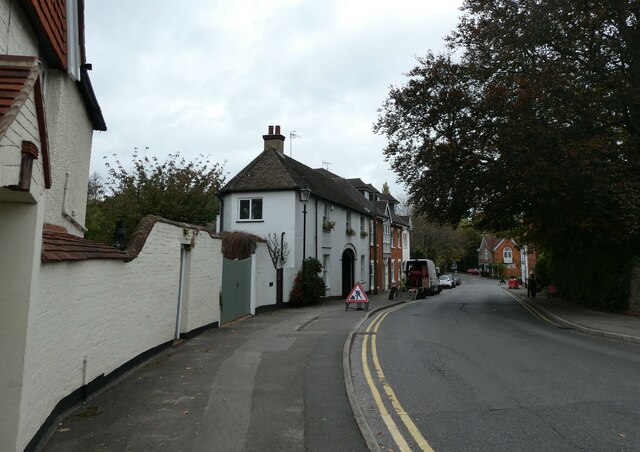
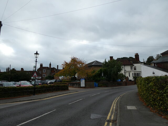
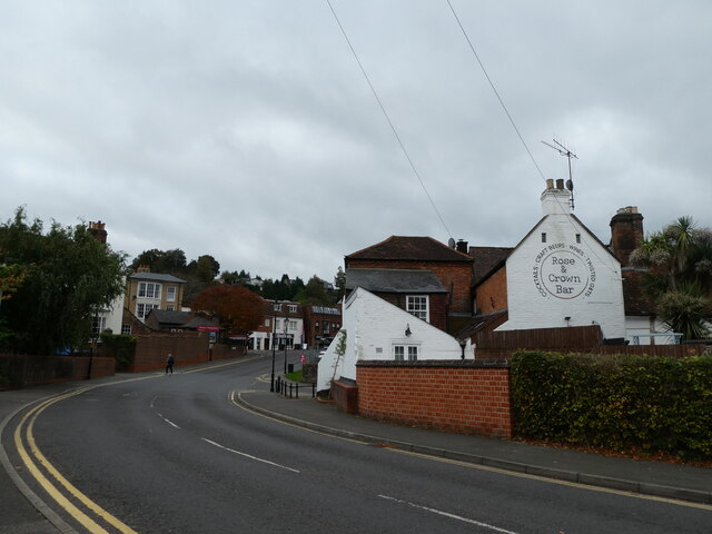
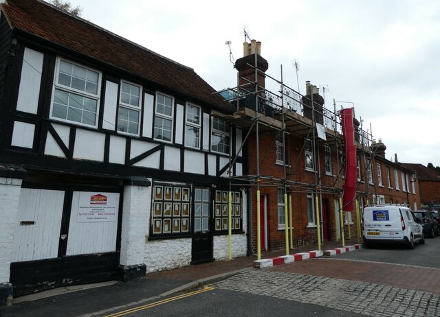
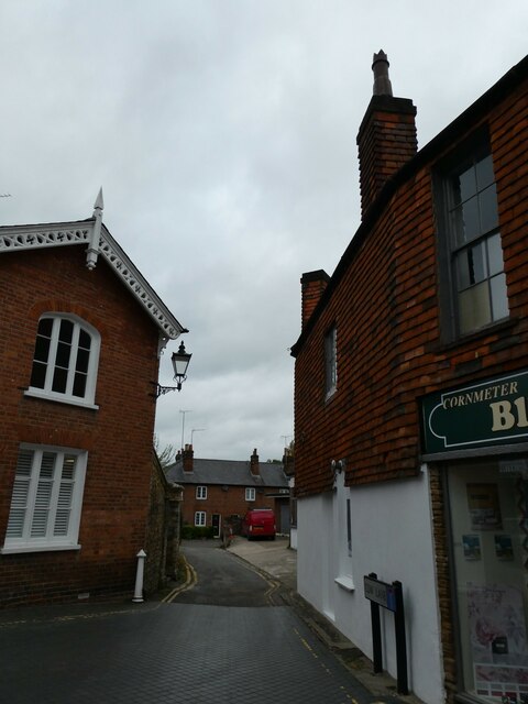
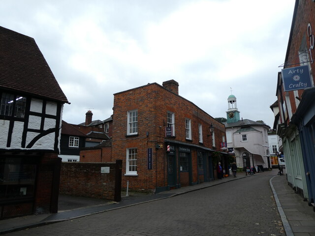
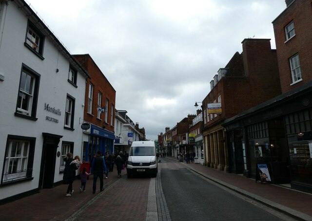
The town's history dates back to Saxon times, and it is mentioned in the Domesday Book of 1086. Godalming's picturesque setting and rich architectural heritage make it a popular destination for both residents and visitors. The town center features a mix of medieval and Georgian buildings, including the notable 16th-century timber-framed building known as the Pepperpot.
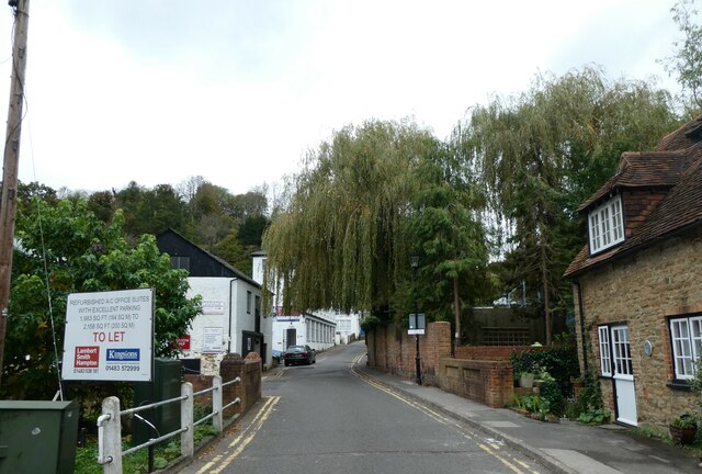
Surrounded by beautiful countryside, Godalming offers residents and tourists ample opportunities for outdoor activities. The nearby Surrey Hills, an Area of Outstanding Natural Beauty, provides stunning landscapes for walking, cycling, and picnicking. The River Wey, which flows through the town, offers opportunities for boating and fishing.
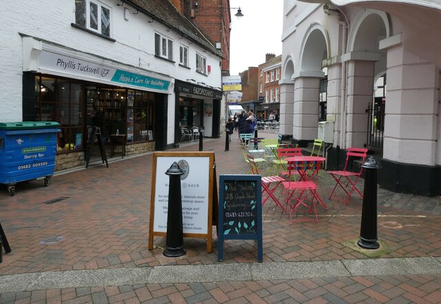
Godalming also boasts a range of amenities and facilities. The High Street is lined with independent shops, cafes, and restaurants, providing a vibrant and bustling atmosphere. The town is home to several schools, including the renowned Charterhouse, one of the country's top public schools.
Transport links are excellent, with Godalming having its own train station providing regular services to London Waterloo. The A3 road also passes close by, connecting the town to London and the south coast.
Overall, Godalming is a historic and picturesque town, offering a blend of natural beauty, cultural heritage, and modern amenities.
If you have any feedback on the listing, please let us know in the comments section below.
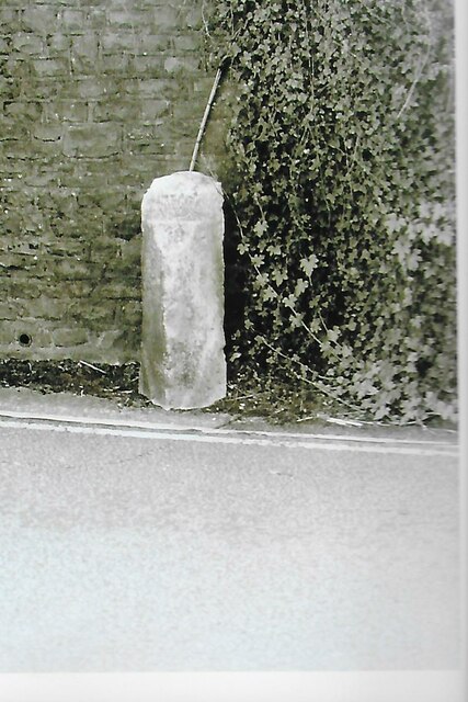
Godalming Images
Images are sourced within 2km of 51.189304/-0.614979 or Grid Reference SU9644. Thanks to Geograph Open Source API. All images are credited.
Godalming is located at Grid Ref: SU9644 (Lat: 51.189304, Lng: -0.614979)
Administrative County: Surrey
District: Waverley
Police Authority: Surrey
What 3 Words
///fancy.giant.stays. Near Godalming, Surrey
Nearby Locations
Related Wikis

River Ock, Surrey
The River Ock is a tributary of the River Wey in Surrey, England. == Course == The river has two great sources in the west of Hambledon and two similar...

Church of St Peter & St Paul, Godalming
The Church of St. Peter and St. Paul is a parish church of the Church of England in Godalming, Surrey. The parish is mostly urban and excludes rural outskirts...

The Burys
The Burys at Godalming, Surrey was used as the venue for nine first-class cricket matches between 1821 and 1830. It was used by the Godalming Cricket Club...
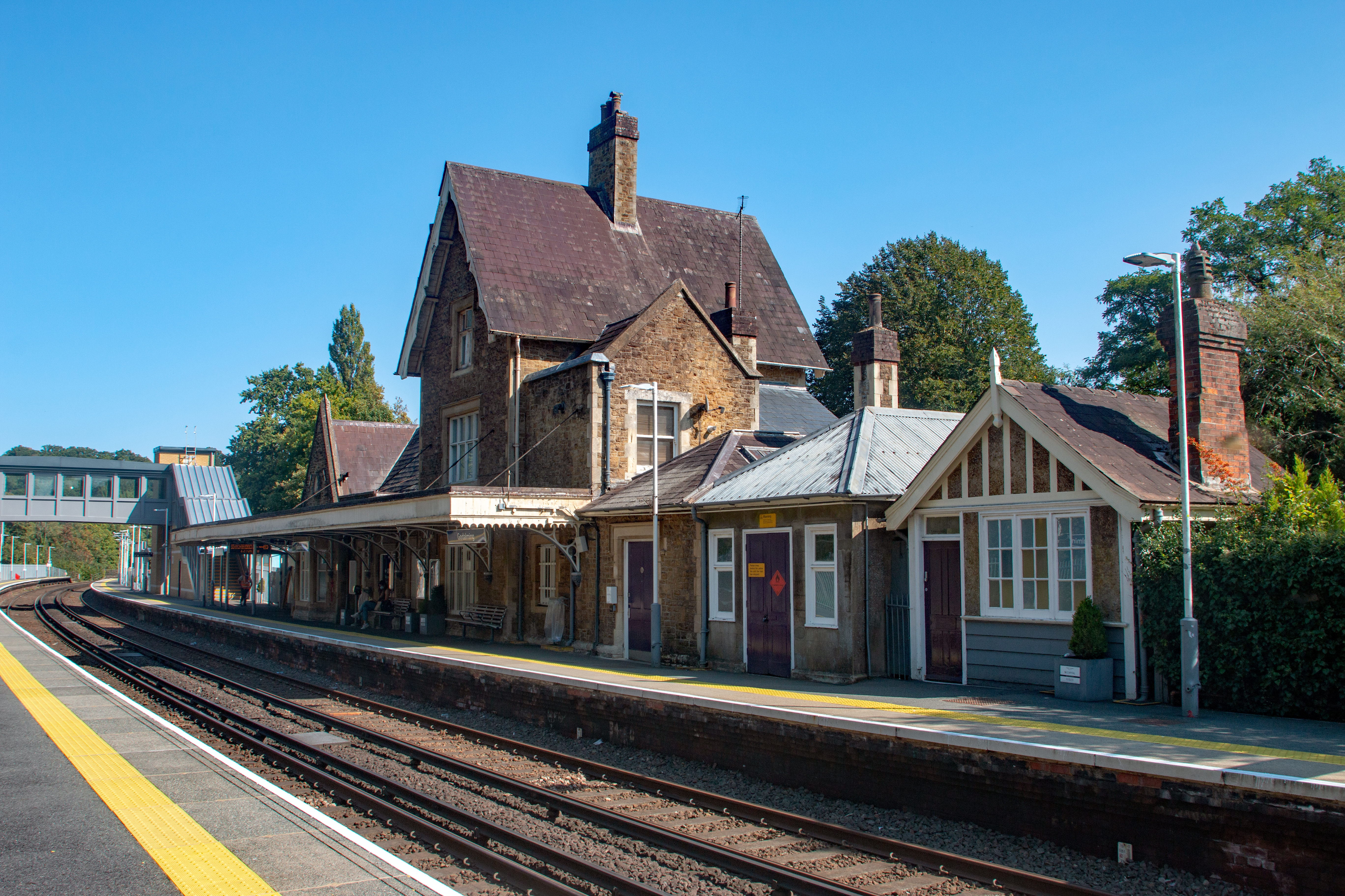
Godalming railway station
Godalming railway station is a stop on the Portsmouth Direct Line, 34 miles 37 chains (55.5 km) down the line from London Waterloo. The station, opened...

Godalming
Godalming is a market town and civil parish in southwest Surrey, England, around 30 miles (49 km) southwest of central London. It is in the Borough of...

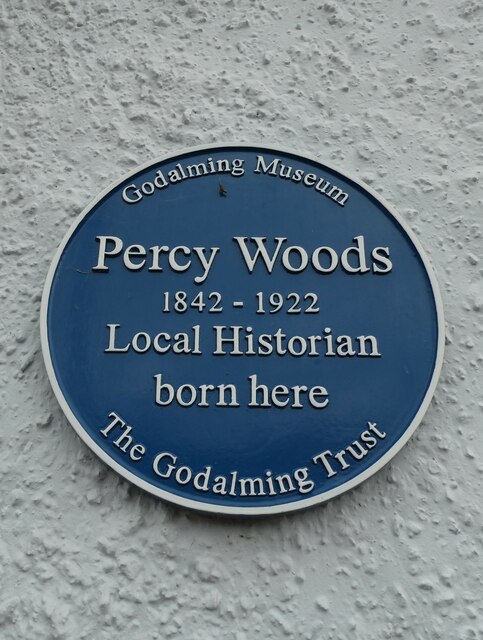
Godalming Museum
Godalming Museum is a local museum in the town of Godalming, Surrey, England.The museum covers the local history of the town and the surrounding area....
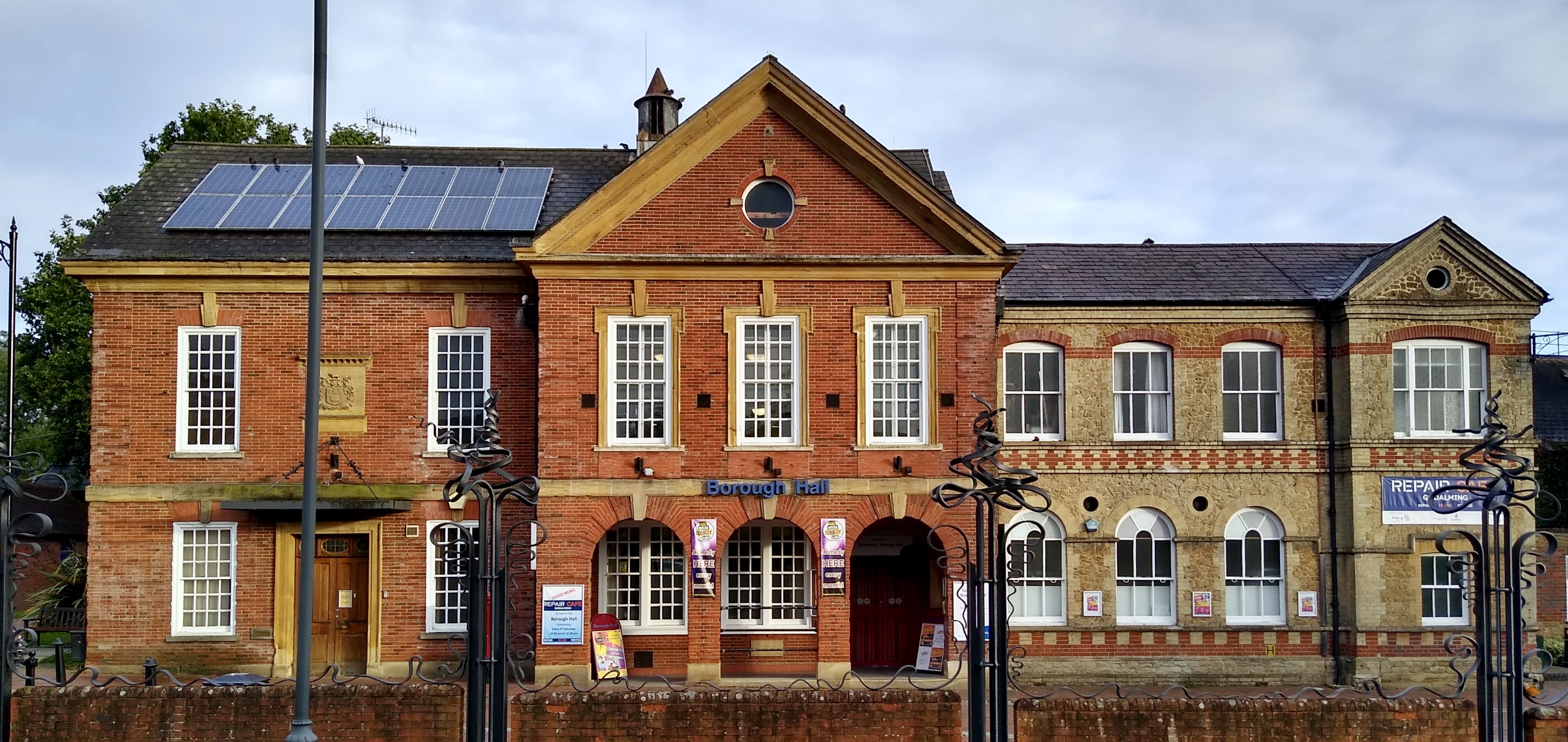
Godalming Borough Hall
Godalming Borough Hall is a municipal building in Bridge Street in Godalming, England. The building is the meeting place of Godalming Town Council. �...

Godalming Congregational Church
The building formerly known as Godalming Congregational Church was the Congregational chapel serving the ancient town of Godalming, in the English county...
Nearby Amenities
Located within 500m of 51.189304,-0.614979Have you been to Godalming?
Leave your review of Godalming below (or comments, questions and feedback).