Godington
Civil Parish in Oxfordshire Cherwell
England
Godington
Godington is a civil parish located in the Cherwell district of Oxfordshire, England. Situated about 4 miles northeast of Bicester, it is a small rural area with a population of around 200 residents. The parish covers an area of about 2 square miles and is predominantly agricultural.
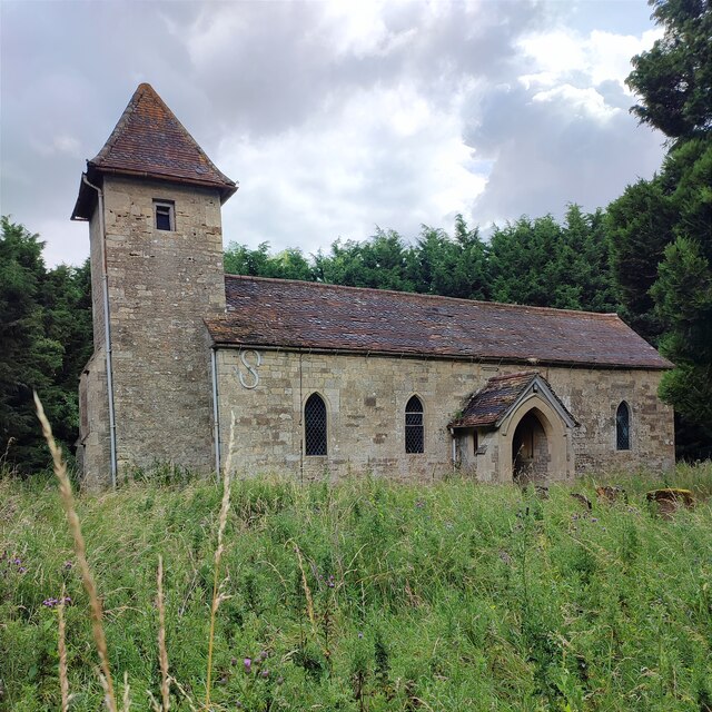
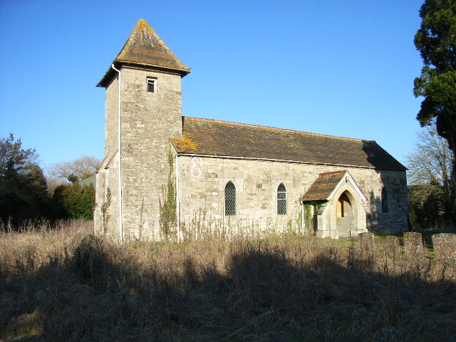
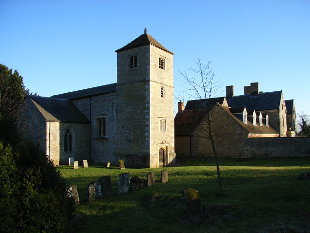
The village of Godington is characterized by its picturesque countryside views and traditional stone-built houses. It retains much of its historical charm, with a few medieval buildings still standing, including the Church of St. Mary, which dates back to the 12th century. The church is a Grade II listed building and is a prominent feature of the village.
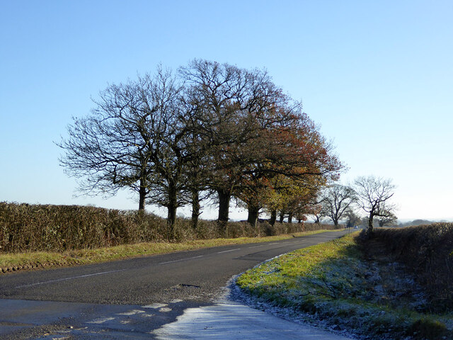
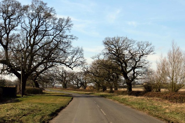
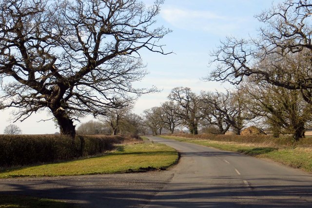
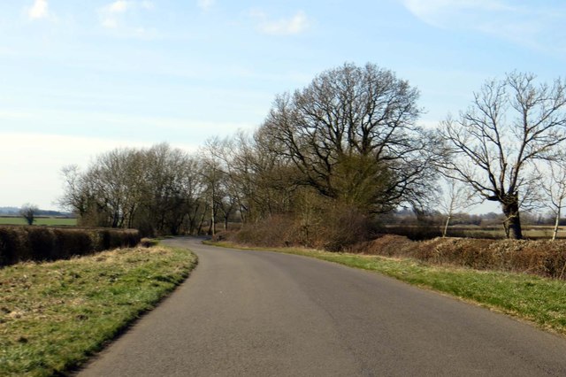
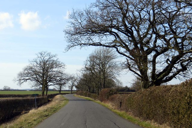
The landscape surrounding Godington is mainly agricultural, with rolling fields and patches of woodland. The area is known for its farming activities, particularly livestock farming and arable farming. The fertile soil and favorable climate contribute to the productivity of the local farms.
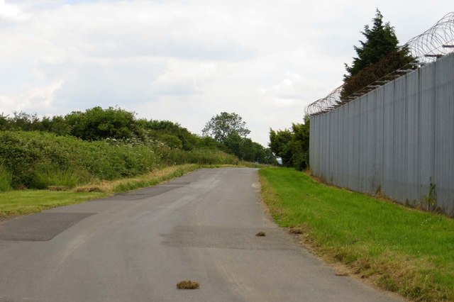
Although Godington itself is a small village, it benefits from its close proximity to larger towns such as Bicester, which offers a range of amenities, including schools, shopping centers, and healthcare facilities. The village is well-connected to the surrounding areas through road links, with the A41 and A43 providing easy access to nearby towns and cities.
Overall, Godington is a tranquil and picturesque civil parish that offers a peaceful rural lifestyle while still being conveniently located near larger urban centers.
If you have any feedback on the listing, please let us know in the comments section below.
Godington Images
Images are sourced within 2km of 51.936468/-1.076968 or Grid Reference SP6326. Thanks to Geograph Open Source API. All images are credited.


Godington is located at Grid Ref: SP6326 (Lat: 51.936468, Lng: -1.076968)
Administrative County: Oxfordshire
District: Cherwell
Police Authority: Thames Valley
What 3 Words
///brilliant.dividers.fended. Near Steeple Claydon, Buckinghamshire
Nearby Locations
Related Wikis
Godington
Godington is a village and civil parish about 5 miles (8 km) northeast of Bicester in Oxfordshire. The parish is bounded on all but the west side by a...

Poundon
Poundon is a hamlet and a civil parish in Aylesbury Vale district in Buckinghamshire, England. It is located near the Oxfordshire border, about four miles...

Marsh Gibbon and Poundon railway station
Marsh Gibbon and Poundon railway station was a railway station to the west of Verney Junction on the Oxford and Bletchley section of the LNWR's branch...
Chetwode
Chetwode () is a village and civil parish about 4 miles (6.4 km) southwest of Buckingham in the Aylesbury Vale district of Buckinghamshire. The parish...

Stratton Audley
Stratton Audley is a village and civil parish about 2.5 miles (4 km) northeast of Bicester in Oxfordshire, England. == Manor == The Domesday Book of 1086...

Twyford, Buckinghamshire
Twyford is a village and civil parish in the Aylesbury Vale district of Buckinghamshire, England. It is about 2 miles (3 km) west of Steeple Claydon and...

Newton Purcell with Shelswell
Newton Purcell with Shelswell is a civil parish in Oxfordshire, England. It was formed in 1932 by merger of the parishes of Newton Purcell (grid reference...

Fringford
Fringford is a village and civil parish in Oxfordshire, about 4 miles (6.4 km) northeast of Bicester. The parish is bounded to the east by the Roman road...
Nearby Amenities
Located within 500m of 51.936468,-1.076968Have you been to Godington?
Leave your review of Godington below (or comments, questions and feedback).