Godmanchester
Civil Parish in Huntingdonshire Huntingdonshire
England
Godmanchester
Godmanchester is a civil parish located in the district of Huntingdonshire in Cambridgeshire, England. Situated on the south bank of the River Great Ouse, it is a historic town with a rich heritage that dates back to Roman times. The parish covers an area of approximately 4.2 square miles and has a population of around 6,800 people.
Godmanchester is known for its picturesque setting, with charming streets lined with traditional houses and buildings. The town center features a mix of independent shops, cafes, pubs, and restaurants, providing a vibrant and bustling atmosphere for both residents and visitors.
One of the main attractions in Godmanchester is the medieval Church of St. Mary the Virgin, which stands prominently in the town center. Dating back to the 12th century, the church is a fine example of Norman architecture and is renowned for its beautiful stained glass windows and intricate stone carvings.
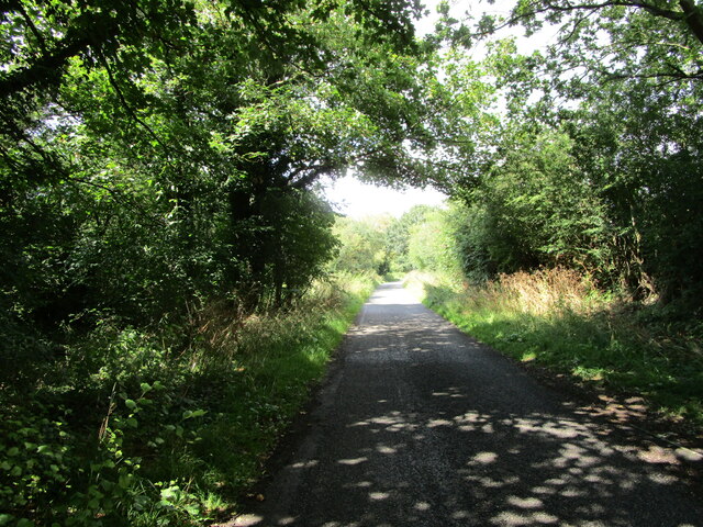
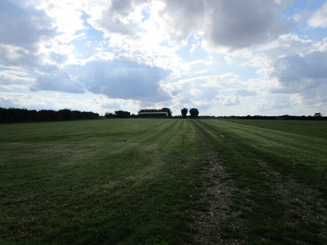
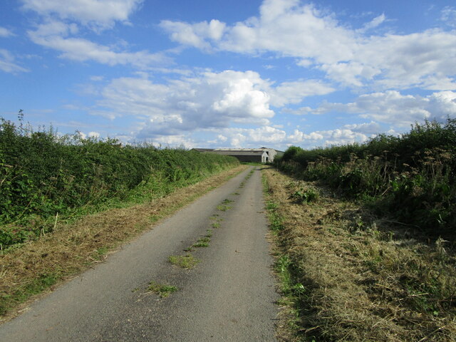
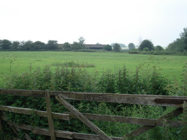
The town also boasts several green spaces, including the Godmanchester Nature Reserve, which offers scenic walks along the river and is home to a variety of wildlife. In addition, the nearby Hinchingbrooke Country Park provides opportunities for leisure activities such as picnicking, cycling, and jogging.
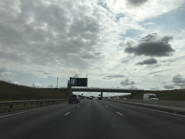
Godmanchester benefits from excellent transport links, with easy access to the A14 road and the nearby towns of Huntingdon and Cambridge. The town also has a primary school, a library, and a community center, ensuring that residents have access to essential amenities and services.
Overall, Godmanchester is a charming and historic town that offers a mix of natural beauty, cultural heritage, and modern conveniences.
If you have any feedback on the listing, please let us know in the comments section below.
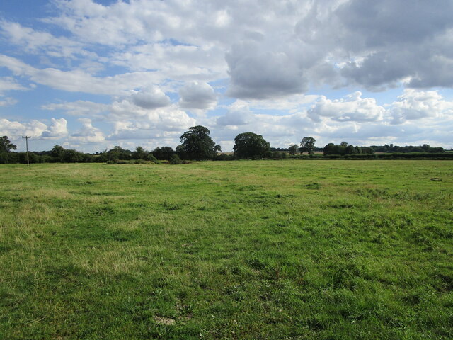
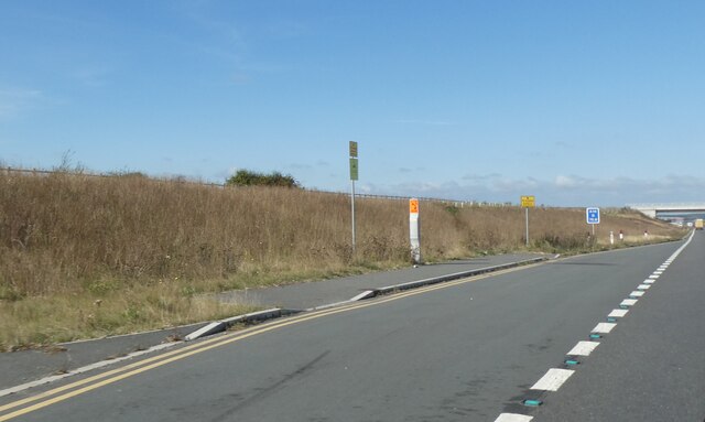
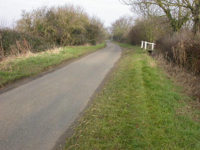
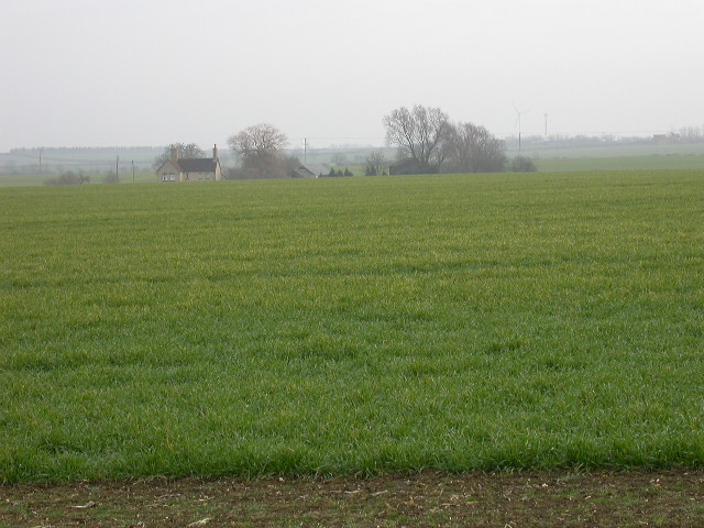
Godmanchester Images
Images are sourced within 2km of 52.309202/-0.169526 or Grid Reference TL2469. Thanks to Geograph Open Source API. All images are credited.


Godmanchester is located at Grid Ref: TL2469 (Lat: 52.309202, Lng: -0.169526)
Administrative County: Cambridgeshire
District: Huntingdonshire
Police Authority: Cambridgeshire
What 3 Words
///revamped.that.serves. Near Godmanchester, Cambridgeshire
Nearby Locations
Related Wikis

Godmanchester Rovers F.C.
Godmanchester Rovers Football Club is a football club based in Godmanchester, Cambridgeshire, England. They are currently members of the United Counties...

Godmanchester
Godmanchester ( GOD-mən-ches-tər) is a town and civil parish in the Huntingdonshire district of Cambridgeshire, England. It is separated from Huntingdon...
Operation Epsilon
Operation Epsilon was the codename of a program in which Allied forces near the end of World War II detained ten German scientists who were thought to...

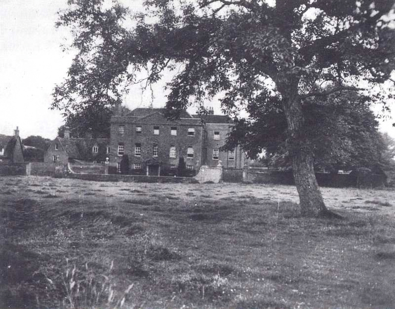
Huntingdon and Godmanchester
Huntingdon and Godmanchester was a municipal borough in Huntingdonshire (and then Huntingdon and Peterborough) from 1961 to 1974.It was formed on 1 April...
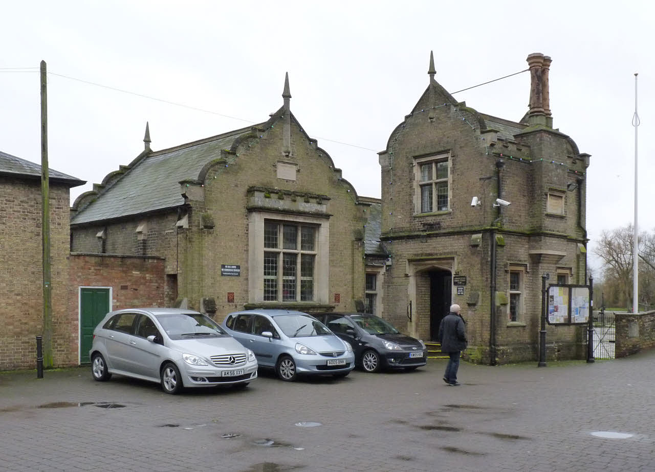
Godmanchester Town Hall
Godmanchester Town Hall is a municipal building in The Causeway, Godmanchester, Cambridgeshire, England. The town hall, which was the meeting place of...
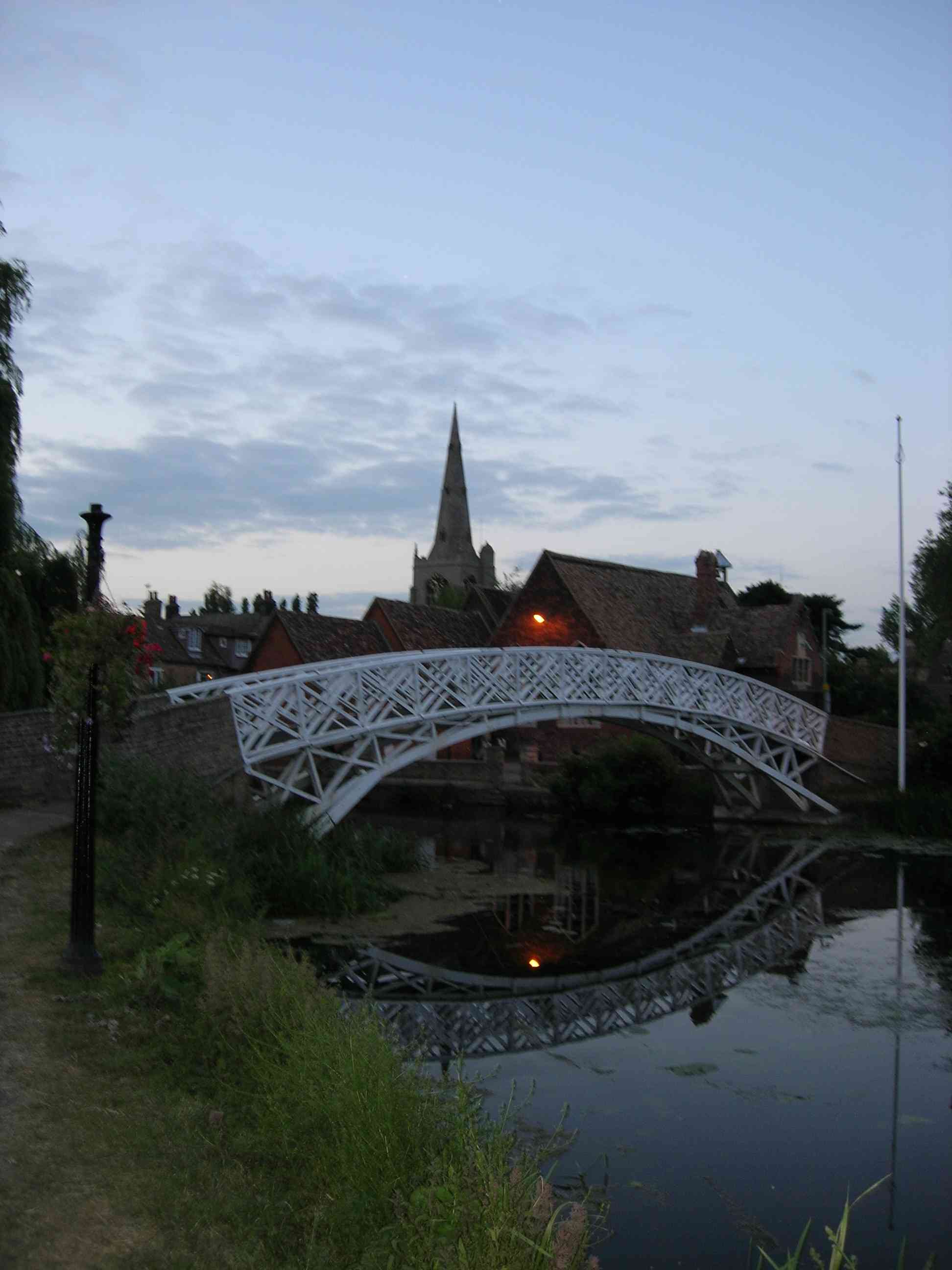
Godmanchester Chinese Bridge
Godmanchester Chinese Bridge is a Grade II Listed building and landmark of the town of Godmanchester, Huntingdonshire (now administered as part of Cambridgeshire...

Church of St Mary the Virgin, Godmanchester
The Church of St Mary the Virgin is a Church of England parish church in Godmanchester, Cambridgeshire. The church is a grade I listed building with its...
The Parks, Godmanchester
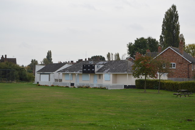
The Parks is a cricket ground situated off Fox Grove, Godmanchester, Huntingdonshire. The ground is bordered to the north and south by residential housing...
Nearby Amenities
Located within 500m of 52.309202,-0.169526Have you been to Godmanchester?
Leave your review of Godmanchester below (or comments, questions and feedback).