Farm Hall, Godmahchester
Heritage Site in Huntingdonshire Huntingdonshire
England
Farm Hall, Godmahchester
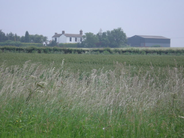
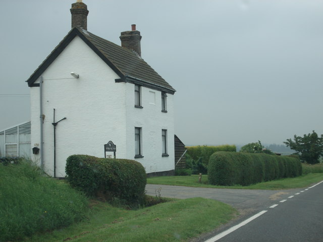
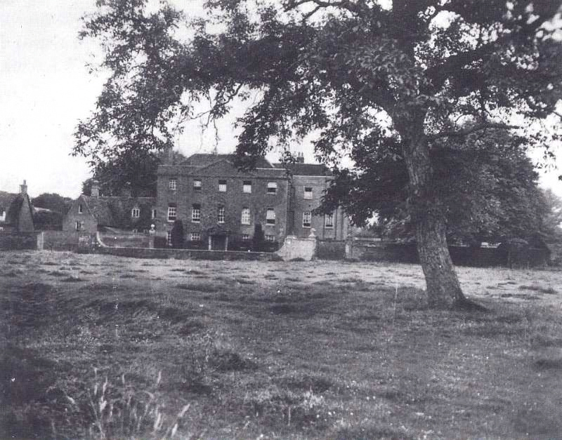
Farm Hall is a historic house located in Godmanchester, Huntingdonshire, England. It gained significant historical importance due to its association with the top-secret intelligence operation known as Operation Epsilon during World War II. The operation involved the internment of ten German scientists, including renowned physicists, who were captured by the British forces.
Built in the late 18th century, Farm Hall served as a country estate before being converted into an internment facility. The house is a fine example of Georgian architecture, with its symmetrical facade, sash windows, and elegant interior design. The surrounding grounds boast picturesque gardens and a small lake, adding to the charm of the property.
During their stay at Farm Hall from July 1945 to January 1946, the German scientists were unaware that their conversations were being secretly recorded. The transcripts of these discussions later revealed their shock upon learning about the atomic bomb and the extent of the Nazi regime's war crimes. This valuable information provided the Allies with important insights into the German nuclear weapons program and the minds of the scientists involved.
Farm Hall now serves as a heritage site, offering visitors a unique opportunity to explore the rooms where these momentous conversations took place. The site provides exhibits and displays that delve into the history of Operation Epsilon, showcasing the transcripts and highlighting the significance of the scientists' revelations. The house also hosts educational programs and events to promote understanding of the role played by these captured scientists in shaping the post-war world.
If you have any feedback on the listing, please let us know in the comments section below.
Farm Hall, Godmahchester Images
Images are sourced within 2km of 52.313/-0.176 or Grid Reference TL2469. Thanks to Geograph Open Source API. All images are credited.


Farm Hall, Godmahchester is located at Grid Ref: TL2469 (Lat: 52.313, Lng: -0.176)
Administrative County: Cambridgeshire
District: Huntingdonshire
Police Authority: Cambridgeshire
What 3 Words
///camcorder.multiples.bottled. Near Godmanchester, Cambridgeshire
Nearby Locations
Related Wikis
Operation Epsilon
Operation Epsilon was the codename of a program in which Allied forces near the end of World War II detained ten German scientists who were thought to...

Godmanchester
Godmanchester ( GOD-mən-ches-tər) is a town and civil parish in the Huntingdonshire district of Cambridgeshire, England. It is separated from Huntingdon...

Huntingdon and Godmanchester
Huntingdon and Godmanchester was a municipal borough in Huntingdonshire (and then Huntingdon and Peterborough) from 1961 to 1974.It was formed on 1 April...
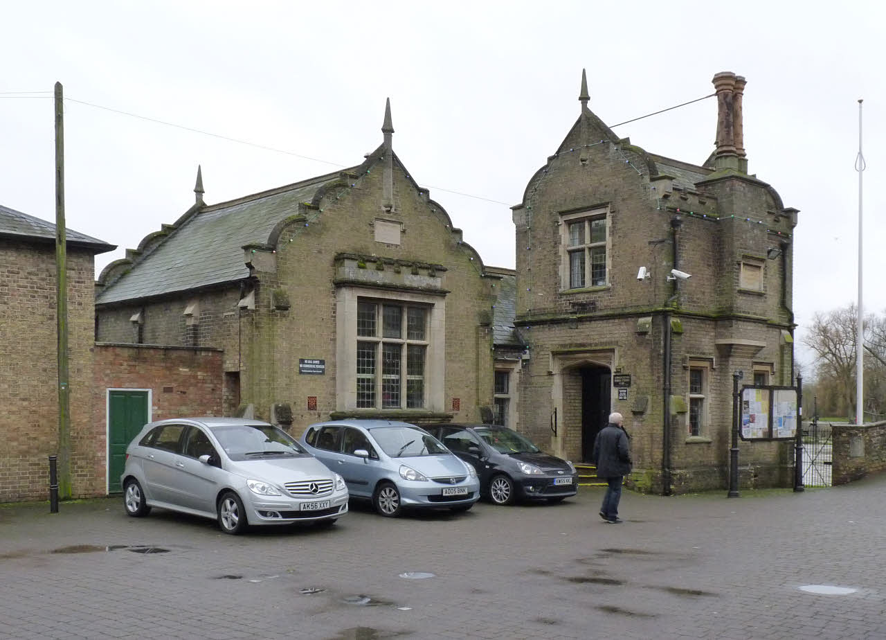
Godmanchester Town Hall
Godmanchester Town Hall is a municipal building in The Causeway, Godmanchester, Cambridgeshire, England. The town hall, which was the meeting place of...
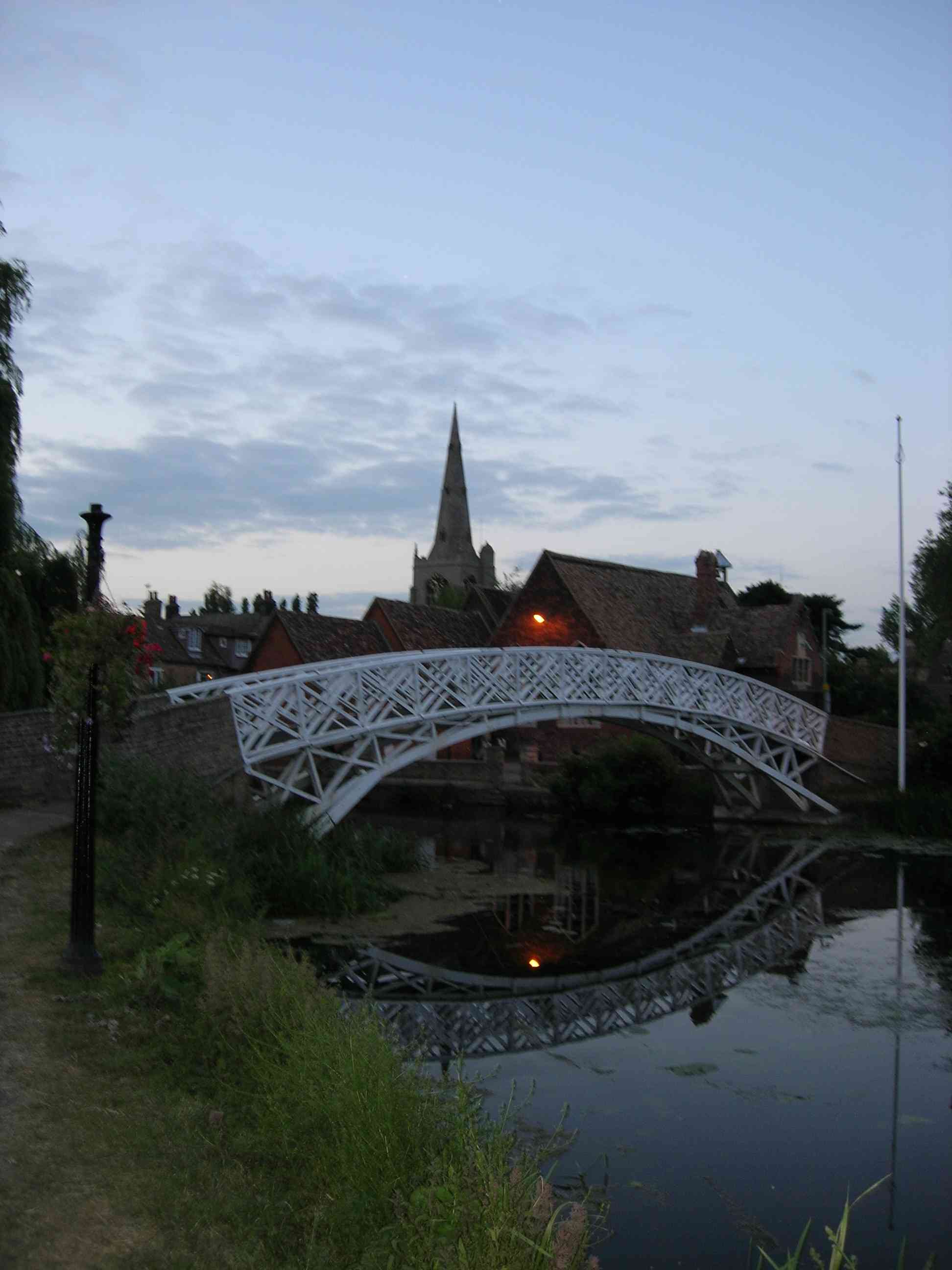
Godmanchester Chinese Bridge
Godmanchester Chinese Bridge is a Grade II Listed building and landmark of the town of Godmanchester, Huntingdonshire (now administered as part of Cambridgeshire...

Church of St Mary the Virgin, Godmanchester
The Church of St Mary the Virgin is a Church of England parish church in Godmanchester, Cambridgeshire. The church is a grade I listed building with its...
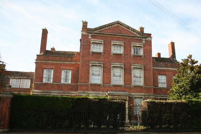
Island Hall
Island Hall is a Grade II* listed Georgian mansion located near the River Great Ouse in Godmanchester, Cambridgeshire, England. == History == Named after...
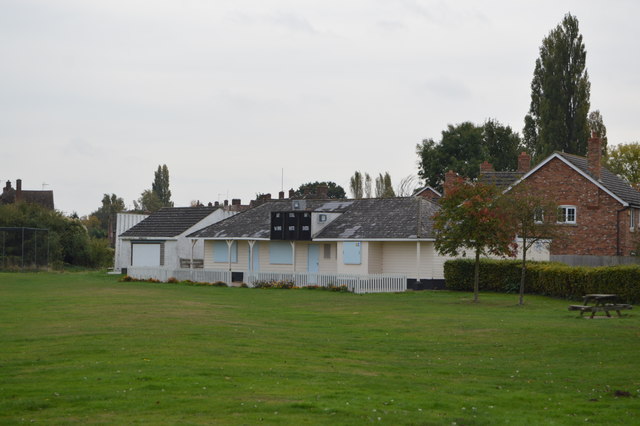
The Parks, Godmanchester
The Parks is a cricket ground situated off Fox Grove, Godmanchester, Huntingdonshire. The ground is bordered to the north and south by residential housing...
Nearby Amenities
Located within 500m of 52.313,-0.176Have you been to Farm Hall, Godmahchester?
Leave your review of Farm Hall, Godmahchester below (or comments, questions and feedback).