Upper Green
Urban Greenspace in Surrey Waverley
England
Upper Green
Upper Green is an urban greenspace located in the county of Surrey, England. Situated in the heart of a bustling residential area, it offers a much-needed retreat from the city's hustle and bustle. Covering an area of approximately 20 acres, Upper Green provides ample space for recreational activities and relaxation.
The greenspace is characterized by its well-maintained lawns, mature trees, and vibrant flower beds. A central pathway runs through the park, offering visitors a pleasant stroll or the opportunity for a leisurely bike ride. Benches are strategically placed along the path, providing resting spots and picturesque views of the surrounding greenery.
Upper Green caters to the needs and interests of visitors of all ages. Children can enjoy the playground area, equipped with swings, slides, and climbing frames. Sports enthusiasts can make use of the well-maintained sports fields, perfect for a game of football or cricket. Dog owners are also welcome, with a designated area for off-leash play.
Throughout the year, Upper Green hosts various community events and activities. These include open-air concerts, summer fairs, and seasonal festivals. The park is also a popular venue for picnics and family gatherings, with ample space for outdoor dining.
Convenient amenities such as public toilets and ample parking make Upper Green easily accessible to all. The greenspace is well-connected to the surrounding neighborhoods, with several public transport links available nearby.
Overall, Upper Green in Surrey offers a serene and picturesque environment for residents and visitors alike, providing a much-needed escape from the urban landscape.
If you have any feedback on the listing, please let us know in the comments section below.
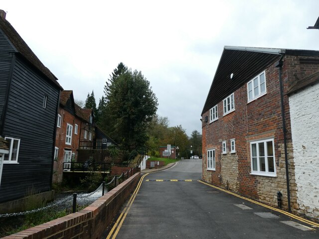
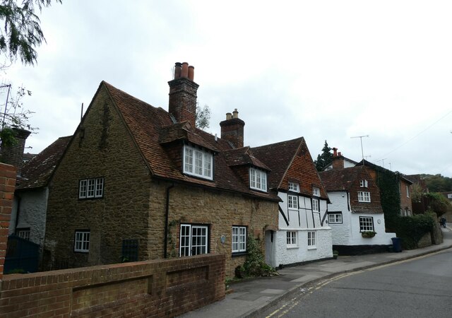
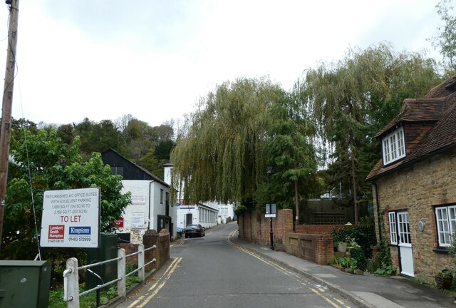
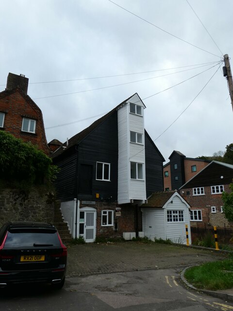
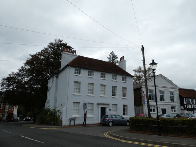
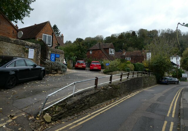
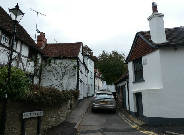
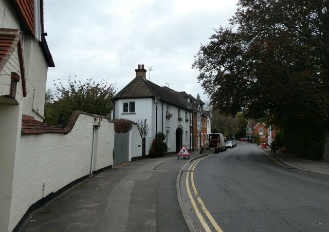
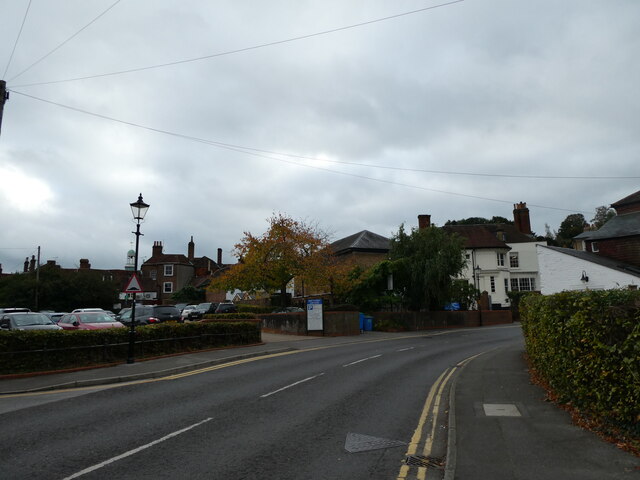
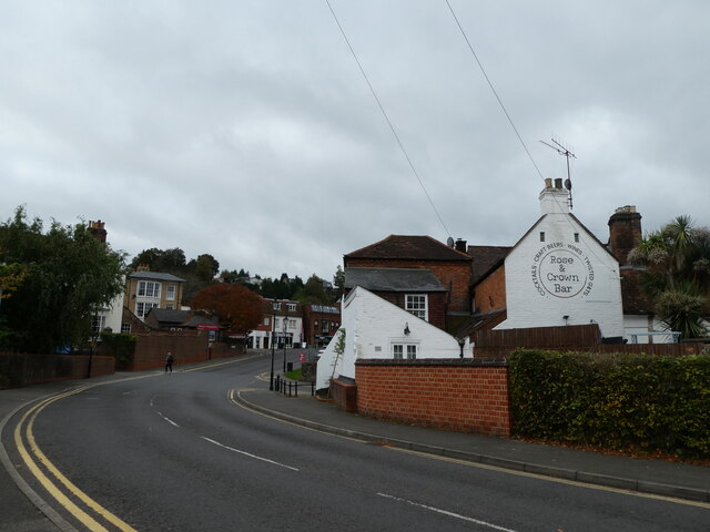
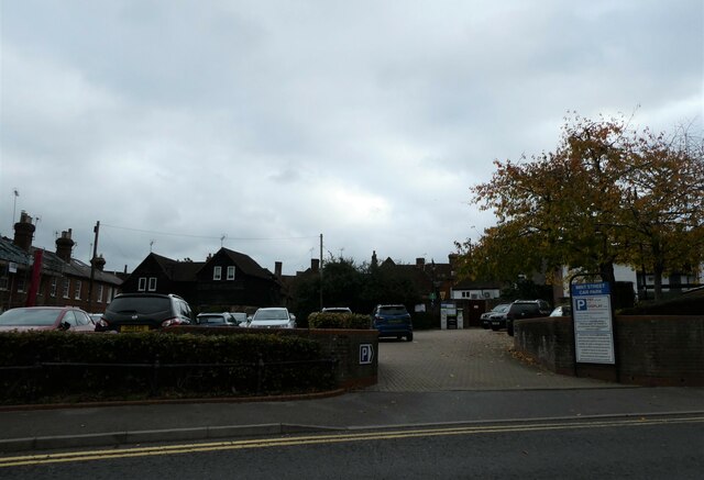
Upper Green Images
Images are sourced within 2km of 51.195262/-0.6218803 or Grid Reference SU9644. Thanks to Geograph Open Source API. All images are credited.
Upper Green is located at Grid Ref: SU9644 (Lat: 51.195262, Lng: -0.6218803)
Administrative County: Surrey
District: Waverley
Police Authority: Surrey
What 3 Words
///swan.noses.trees. Near Godalming, Surrey
Nearby Locations
Related Wikis

Charterhouse School
Charterhouse is a public school (English boarding school for pupils aged 13–18) in Godalming, Surrey, England. Originally founded by Thomas Sutton in 1611...

Old Carthusians F.C.
Old Carthusians Football Club is an association football club whose players are former pupils of Charterhouse School in Godalming, Surrey, England. The...

Farncombe Wood
Farncombe Wood is a 1-hectare (2.5-acre) nature reserve in Farncombe in Surrey. It is owned and managed by the Surrey Wildlife Trust.This steeply sloping...

River Ock, Surrey
The River Ock is a tributary of the River Wey in Surrey, England. == Course == The river has two great sources in the west of Hambledon and two similar...
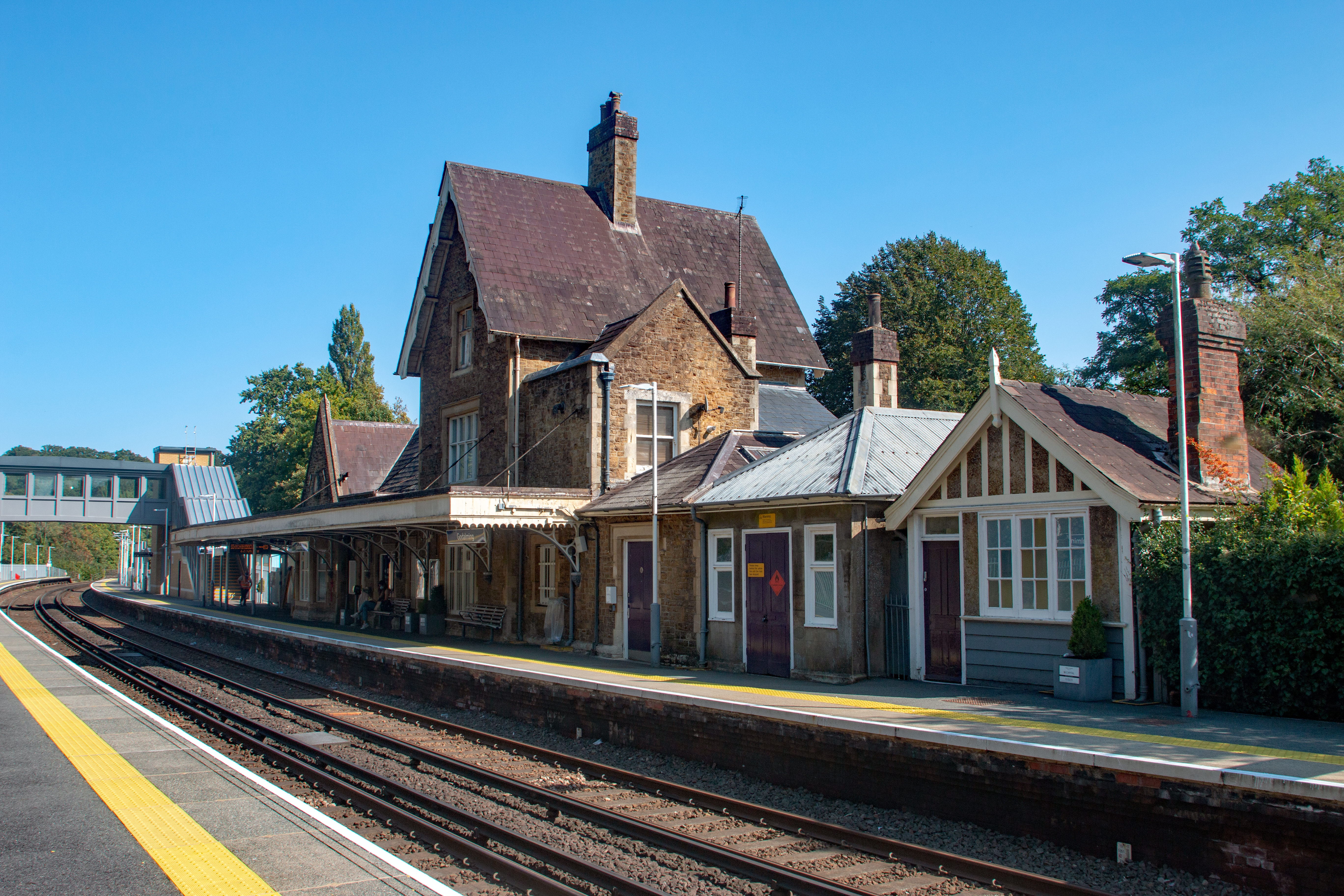
Godalming railway station
Godalming railway station is a stop on the Portsmouth Direct Line, 34 miles 37 chains (55.5 km) down the line from London Waterloo. The station, opened...

Church of St Peter & St Paul, Godalming
The Church of St. Peter and St. Paul is a parish church of the Church of England in Godalming, Surrey. The parish is mostly urban and excludes rural outskirts...
The Burys
The Burys at Godalming, Surrey was used as the venue for nine first-class cricket matches between 1821 and 1830. It was used by the Godalming Cricket Club...

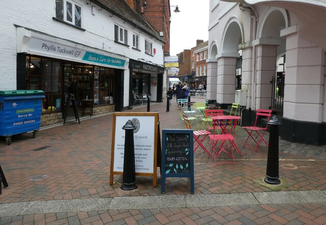
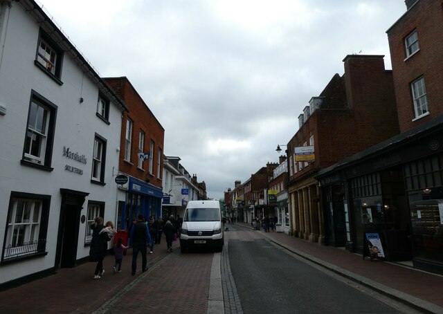
Godalming
Godalming is a market town and civil parish in southwest Surrey, England, around 30 miles (49 km) southwest of central London. It is in the Borough of...
Nearby Amenities
Located within 500m of 51.195262,-0.6218803Have you been to Upper Green?
Leave your review of Upper Green below (or comments, questions and feedback).