Friskney Tofts

Settlement in Lincolnshire East Lindsey

England

Friskney Tofts

Abbey Hills earthworks: aerial 2023 (1) See: <span class="nowrap"><a title="https://www.heritagegateway.org.uk/Gateway/Results_Single.aspx?uid=MLI43536&resourceID=1006" rel="nofollow ugc noopener" href="https://www.heritagegateway.org.uk/Gateway/Results_Single.aspx?uid=MLI43536&resourceID=1006">Link</a><img style="margin-left:2px;" alt="External link" title="External link - shift click to open in new window" src="https://s1.geograph.org.uk/img/external.png" width="10" height="10"/></span>
Abbey Hills earthworks: aerial 2023 (1) Credit: Chris

The requested URL returned error: 429 Too Many Requests

If you have any feedback on the listing, please let us know in the comments section below.

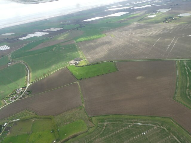
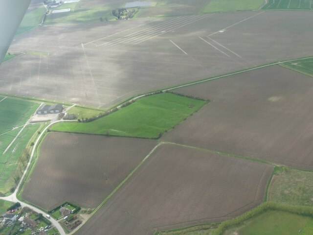
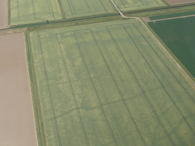
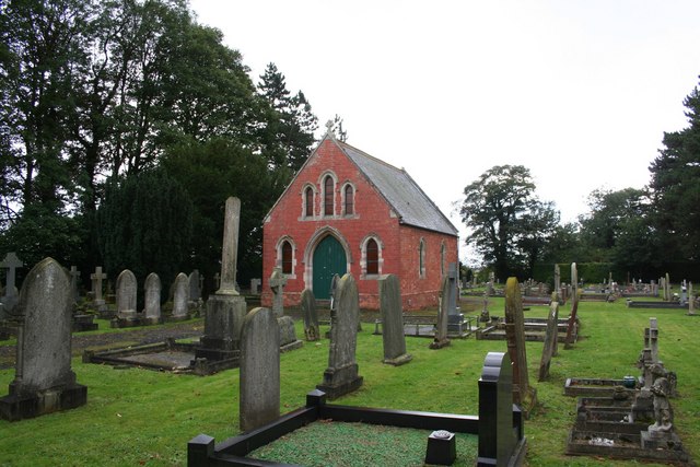
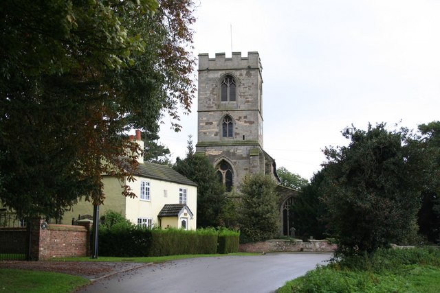
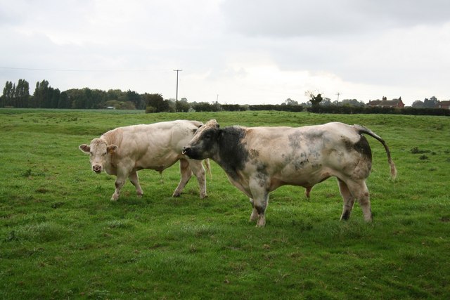
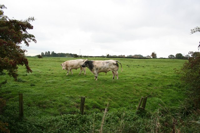
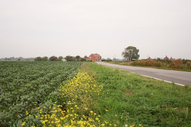
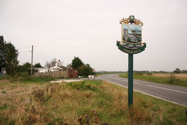
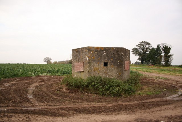
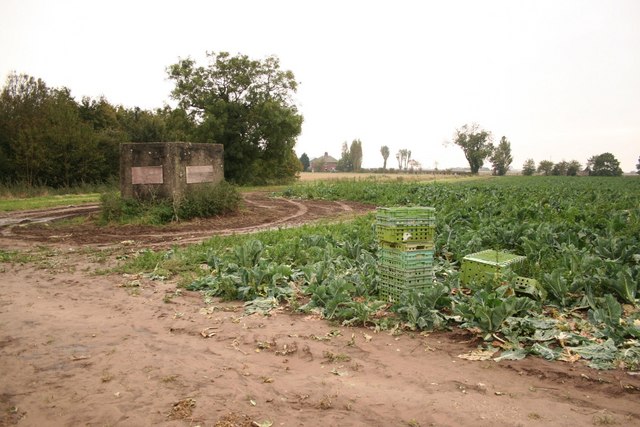
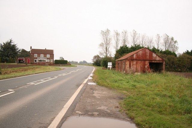
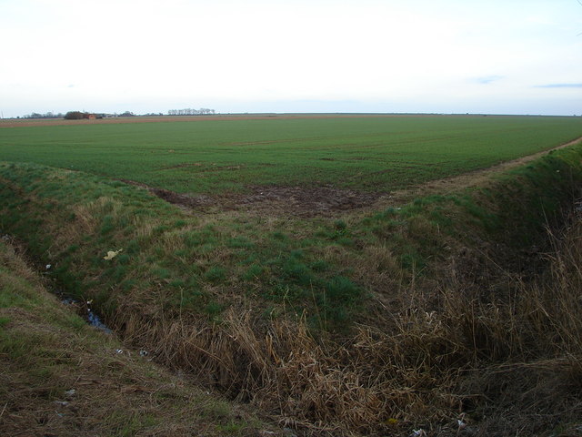
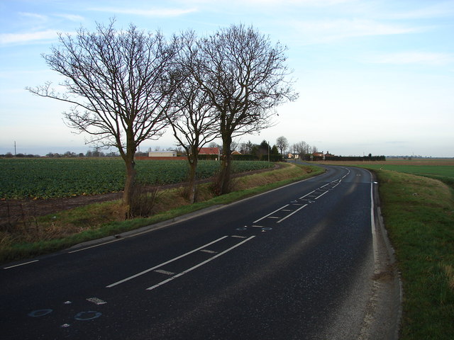
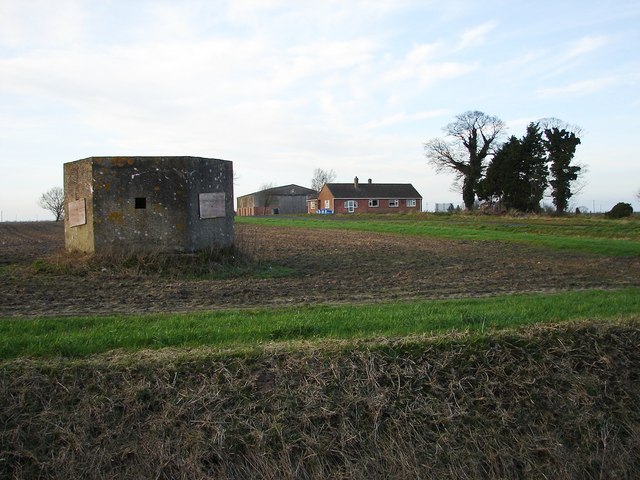
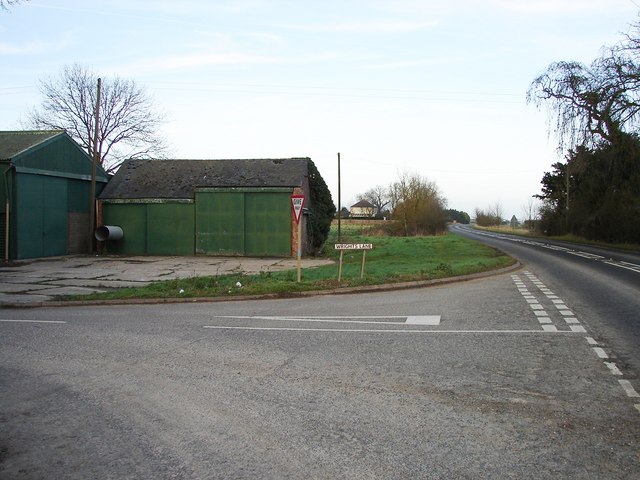
Friskney Tofts Images

Images are sourced within 2km of 53.060258/0.18743724 or Grid Reference TF4653. Thanks to Geograph Open Source API. All images are credited.

Abbey Hills earthworks: aerial 2023 (1) See: <span class="nowrap"><a title="https://www.heritagegateway.org.uk/Gateway/Results_Single.aspx?uid=MLI43536&resourceID=1006" rel="nofollow ugc noopener" href="https://www.heritagegateway.org.uk/Gateway/Results_Single.aspx?uid=MLI43536&resourceID=1006">Link</a><img style="margin-left:2px;" alt="External link" title="External link - shift click to open in new window" src="https://s1.geograph.org.uk/img/external.png" width="10" height="10"/></span>
Abbey Hills earthworks: aerial 2023 (1)
See: LinkExternal link
Abbey Hills earthworks: aerial 2023 (2) See: <span class="nowrap"><a title="https://www.heritagegateway.org.uk/Gateway/Results_Single.aspx?uid=MLI43536&resourceID=1006" rel="nofollow ugc noopener" href="https://www.heritagegateway.org.uk/Gateway/Results_Single.aspx?uid=MLI43536&resourceID=1006">Link</a><img style="margin-left:2px;" alt="External link" title="External link - shift click to open in new window" src="https://s1.geograph.org.uk/img/external.png" width="10" height="10"/></span>
Abbey Hills earthworks: aerial 2023 (2)
See: LinkExternal link
Former creeks visible as cropmarks on the Outer Marsh SE of Friskney: aerial 2023
Friskney Cemetery West of All Saints' church with a small red brick chapel
Friskney Cemetery
West of All Saints' church with a small red brick chapel
All Saints' church, Friskney Norman origins to this grand Perpendicular marshland church
All Saints' church, Friskney
Norman origins to this grand Perpendicular marshland church
Bullocks Two handsome young bulls grazing on Abbey Hills earthworks of Friskney Abbey
Bullocks
Two handsome young bulls grazing on Abbey Hills earthworks of Friskney Abbey
Abbey Hills Reputedly the site of the first church at Friskney, dedicated to St Katherine of Alexandria. Established some time following the Roman withdrawal and surviving through the Danish occupation, when Friskney was a southernmost part of the Danelaw.
Abbey Hills
Reputedly the site of the first church at Friskney, dedicated to St Katherine of Alexandria. Established some time following the Roman withdrawal and surviving through the Danish occupation, when Friskney was a southernmost part of the Danelaw.
Low Road Rural view near Friskney
Low Road
Rural view near Friskney
Friskney Approaching Friskney on the A52
Friskney
Approaching Friskney on the A52
Whitehouse pillbox One of several WW2 fortifications in the area
Whitehouse pillbox
One of several WW2 fortifications in the area
Defending the brassicas WW2 pillbox in a field of brassicas
Defending the brassicas
WW2 pillbox in a field of brassicas
Friskney Tofts The A52 by the junction with Parish's Lane
Friskney Tofts
The A52 by the junction with Parish's Lane
Friskney Tofts farm building
Fields Near Greens Marsh Greens Marsh can be seen in the distance.
Fields Near Greens Marsh
Greens Marsh can be seen in the distance.
A52 Near Friskney Tofts
Pillbox Type FW3/22 See <span class="nowrap"><a title="http://ads.ahds.ac.uk/catalogue/specColl/dob/ai_full_r.cfm?refno=5164&CFID=610424&CFTOKEN=37924205" rel="nofollow ugc noopener" href="http://ads.ahds.ac.uk/catalogue/specColl/dob/ai_full_r.cfm?refno=5164&CFID=610424&CFTOKEN=37924205">Link</a><img style="margin-left:2px;" alt="External link" title="External link - shift click to open in new window" src="https://s1.geograph.org.uk/img/external.png" width="10" height="10"/></span>.

Surprisingly though, the Grid reference on the above link is TF 460 528 which puts it in the gridsquare further to the east.
Pillbox Type FW3/22
See LinkExternal link. Surprisingly though, the Grid reference on the above link is TF 460 528 which puts it in the gridsquare further to the east.
Wrights Lane and A52 Junction outside Home Farm.
Wrights Lane and A52
Junction outside Home Farm.
Show me another place!

Friskney Tofts is located at Grid Ref: TF4653 (Lat: 53.060258, Lng: 0.18743724)

Division: Parts of Lindsey

Administrative County: Lincolnshire

District: East Lindsey

Police Authority: Lincolnshire

What 3 Words

///bandaged.wobbling.clay. Near Wainfleet All Saints, Lincolnshire

Nearby Locations

Friskney Tofts

Related Wikis

Friskney

Friskney is a village and civil parish within the East Lindsey district of Lincolnshire, England.The parish includes the settlement of Friskney Eaudyke...

RAF Wainfleet

RAF Wainfleet was a Royal Air Force weapons range on The Wash on the east coast of England near Wainfleet, in the civil parish of Friskney, although the...

Friskney Eaudyke

Friskney Eaudyke is a settlement in the civil parish of Friskney, and the East Lindsey district of Lincolnshire, England. It is 11 miles (20 km) north...

Wrangle, Lincolnshire

Wrangle is a village in the Boston Borough of Lincolnshire, England. It is situated approximately 9 miles (14 km) north-east from the town of Boston. The...

Nearby Amenities

Located within 500m of 53.060258,0.18743724
Toft House
Place: isolated_dwelling
Source: Bing
Lat/Long: 53.0600477/0.1844954
Green Haven Holidays
Addr City: Boston
Addr Country: GB
Addr Postcode: PE22 8QS
Addr Street: Main Road
Addr Village: Friskney
Fhrs Authority: East Lindsey
Fhrs Id: 984835
Fhrs Local Authority Id: EHFDI/05254/16
Tourism: caravan_site
Lat/Long: 53.0570915/0.1839834
Sunset House
Addr City: Boston
Addr Country: GB
Addr Postcode: PE22 8QS
Addr Street: Main Road
Addr Village: Friskney
Fhrs Authority: East Lindsey
Fhrs Id: 156238
Fhrs Local Authority Id: EHFDI/02437/10
Tourism: guest_house
Lat/Long: 53.0574881/0.1845306
The data included in this document is from www.openstreetmap.org. The data is made available under ODbL.

Have you been to Friskney Tofts?

Leave your review of Friskney Tofts below (or comments, questions and feedback).