Friden
Settlement in Derbyshire Derbyshire Dales
England
Friden
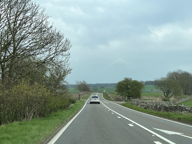
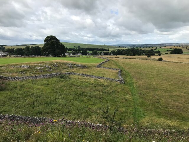
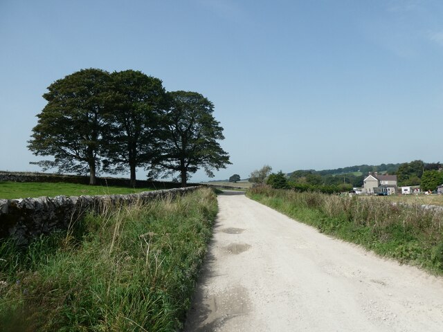
Friden is a small village located in the county of Derbyshire, in the East Midlands region of England. Situated near the town of Buxton, it is nestled within the picturesque Peak District National Park. The village is surrounded by rolling hills, verdant meadows, and charming countryside, making it an idyllic destination for nature enthusiasts and those seeking a peaceful retreat.
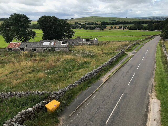
Friden is known for its rustic charm and traditional architecture, with many of its buildings dating back to the 18th and 19th centuries. The village retains much of its original character, with quaint stone cottages and historic farmhouses dotting the landscape. The local community takes pride in preserving the village's heritage and maintaining its rural charm.
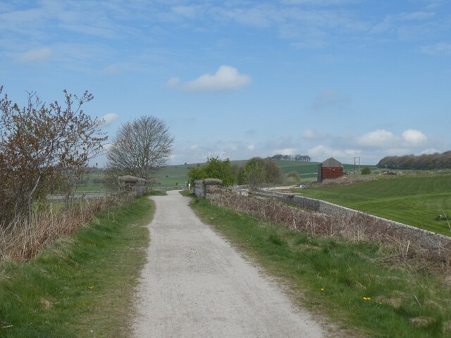
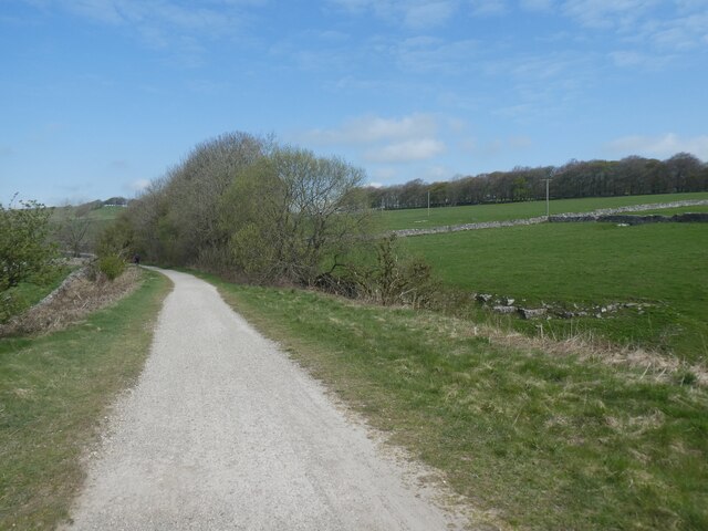
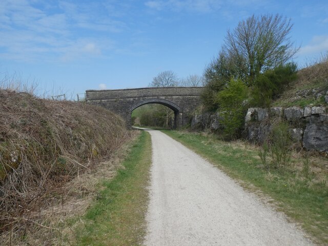
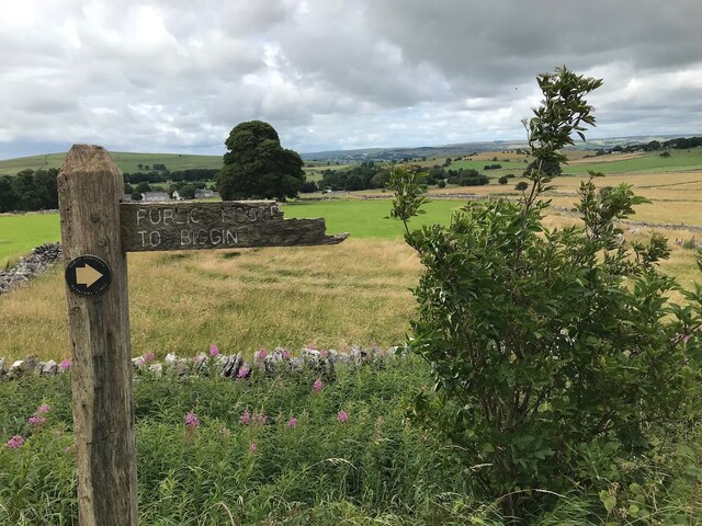
Despite its small size, Friden offers a range of amenities to its residents and visitors. The village boasts a community center, a local pub serving traditional English fare, and a small convenience store for everyday needs. The surrounding area provides ample opportunities for outdoor activities, such as hiking, cycling, and horseback riding, with numerous trails winding through the stunning countryside.
Friden's location within the Peak District National Park also makes it a popular base for exploring the wider region. Nearby attractions include the historic spa town of Buxton, renowned for its Georgian architecture and opera house, and Chatsworth House, a magnificent stately home surrounded by sprawling gardens.
In summary, Friden is a charming village in Derbyshire, offering a tranquil escape and access to the stunning natural beauty of the Peak District National Park.
If you have any feedback on the listing, please let us know in the comments section below.
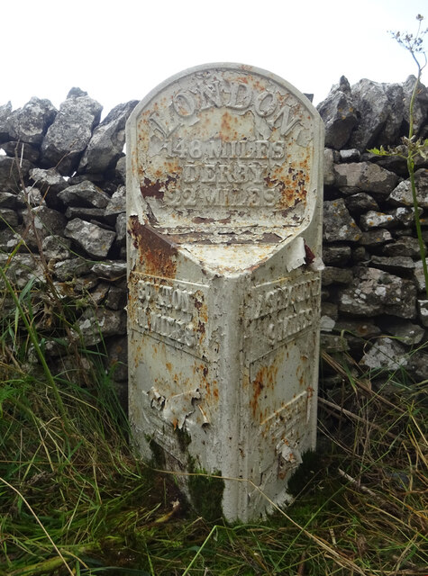
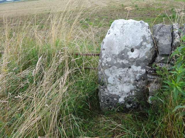
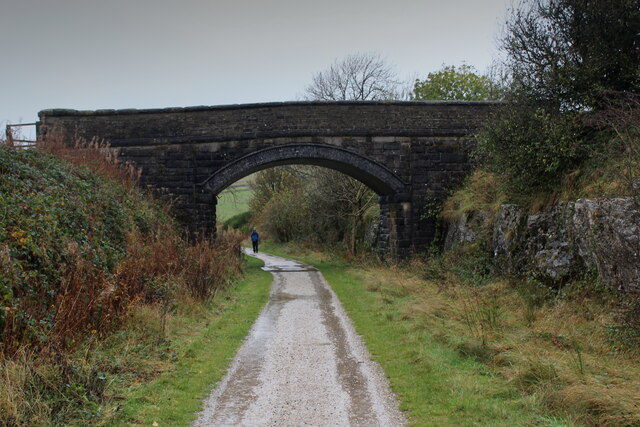
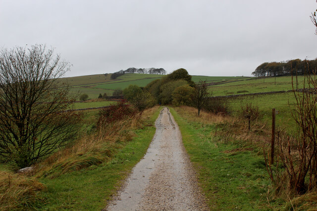
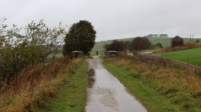
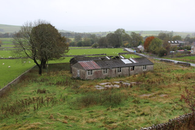
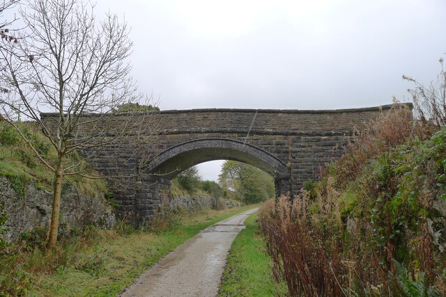
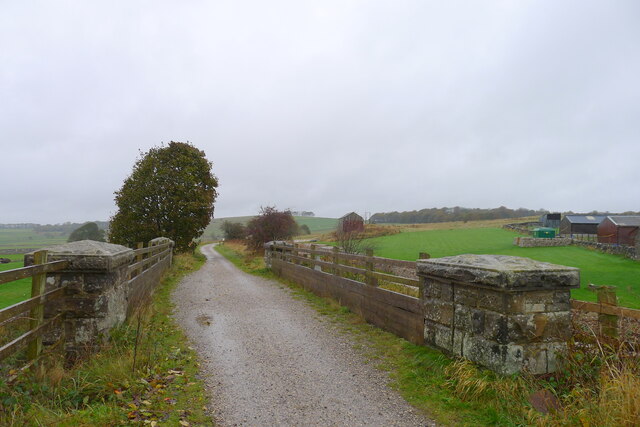
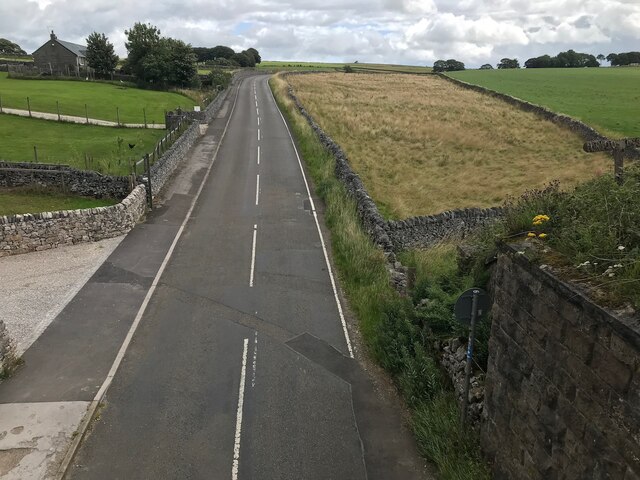
Friden Images
Images are sourced within 2km of 53.143876/-1.7451045 or Grid Reference SK1760. Thanks to Geograph Open Source API. All images are credited.
Friden is located at Grid Ref: SK1760 (Lat: 53.143876, Lng: -1.7451045)
Administrative County: Derbyshire
District: Derbyshire Dales
Police Authority: Derbyshire
What 3 Words
///trapdoor.stopwatch.trunk. Near Newhaven, Derbyshire
Nearby Locations
Related Wikis

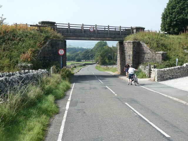
Friden Goods Yard
Friden Goods Yard was a goods station located on the Cromford and High Peak Railway near the villages of Friden in Derbyshire. Mostly for moving mineral...

Friden, Derbyshire
Friden is a hamlet in the civil parish of Hartington Nether Quarter, Derbyshire, England. It is 11 miles (18 km) south-east of Buxton, just off the Newhaven...

High Peak Trail
The High Peak Trail is a 17-mile (27 km) trail for walkers, cyclists and horse riders in the Peak District of England. Running from Dowlow (53.2059°N 1...
Newhaven, Derbyshire
Newhaven is a hamlet in the county of Derbyshire, England, east of Hartington and west of Cromford. The principal employer in the area is DSF Refractories...

Hartington Nether Quarter
Hartington Nether Quarter is a civil parish in the Derbyshire Dales district of Derbyshire, England. The parish was created from the subdivision of the...

Long Dale
Long Dale is a carboniferous limestone valley near the village of Elton, Derbyshire, in the Peak District of England. The dale is cut into the plateau...

Middleton and Smerrill
Middleton and Smerrill is a civil parish within the Derbyshire Dales district, in the county of Derbyshire, England. Largely rural except for the village...

Biggin (Dovedale and Parwich Ward)
Biggin is a village in the Derbyshire Dales district of Derbyshire, England. It is part of the Hartington Nether Quarter parish, and is in the Peak District...
Nearby Amenities
Located within 500m of 53.143876,-1.7451045Have you been to Friden?
Leave your review of Friden below (or comments, questions and feedback).