Little Bolderstone Plantation
Wood, Forest in Derbyshire Derbyshire Dales
England
Little Bolderstone Plantation
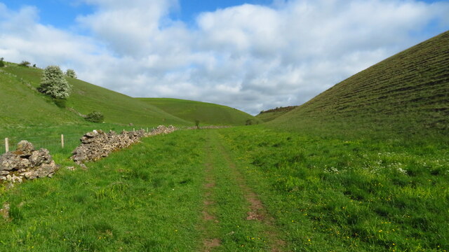
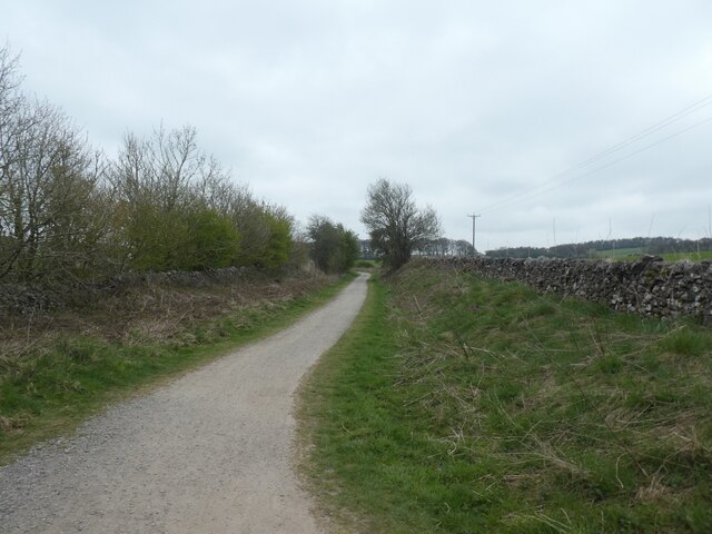
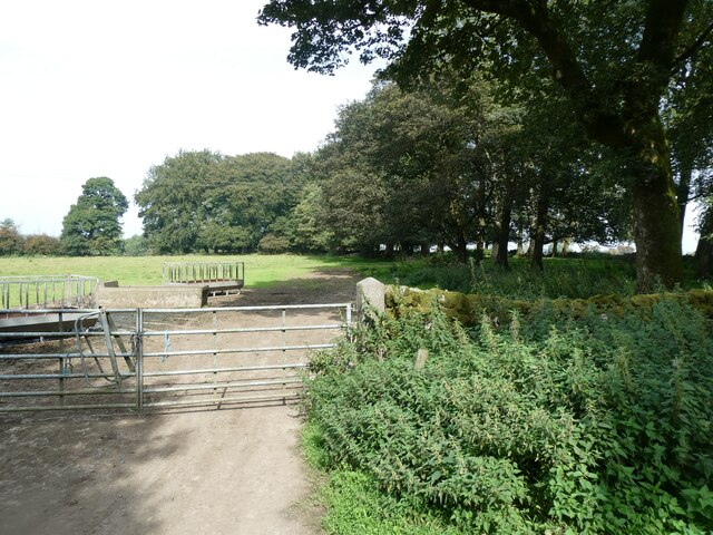
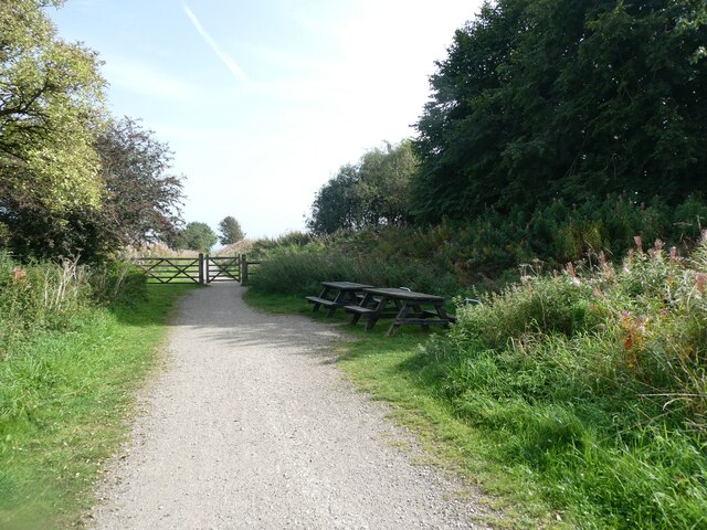
Little Bolderstone Plantation is a picturesque woodland located in Derbyshire, England. Situated near the village of Bolderstone, this forested area covers approximately 100 acres of land. The plantation is a popular destination for nature enthusiasts, hikers, and those seeking a peaceful retreat in the heart of nature.
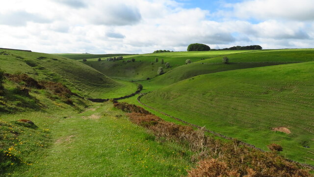
The plantation is characterized by its dense, mature trees that create a canopy of greenery, providing shade and shelter for various wildlife species. The dominant tree species in the plantation include oak, beech, and birch, which contribute to the diverse ecosystem found within the woodland. The forest floor is covered with a carpet of mosses, ferns, and wildflowers, adding to the enchanting atmosphere of the area.
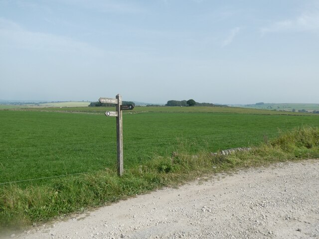
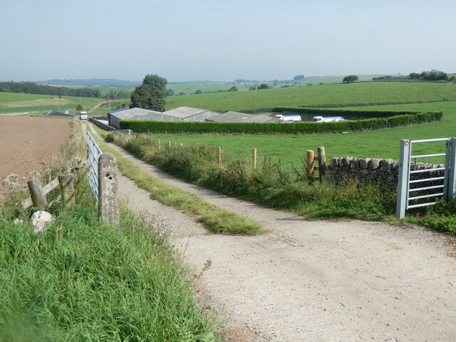
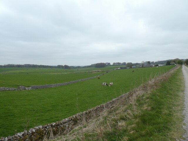
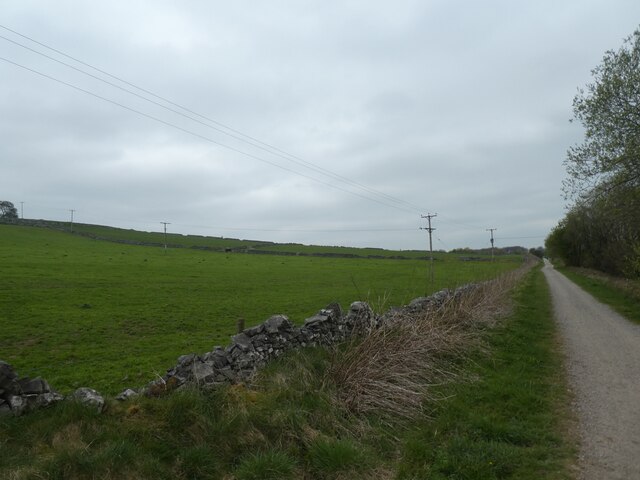
Little Bolderstone Plantation boasts a network of well-maintained footpaths and trails, allowing visitors to explore the woodland at their leisure. These paths wind through the forest, offering stunning views of the surrounding countryside and glimpses of wildlife, such as deer, foxes, and a wide variety of bird species.
The plantation is open to the public year-round, and visitors can enjoy a range of activities within its boundaries. Popular activities include walking, jogging, birdwatching, and photography. The tranquil atmosphere of the woodland also makes it an ideal spot for picnicking and relaxation.
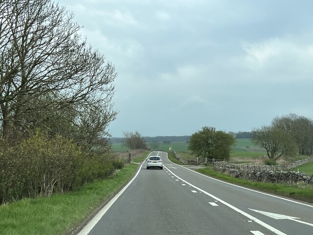
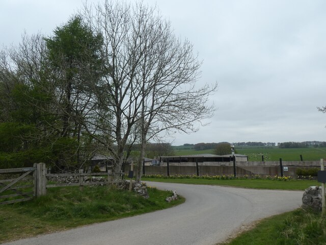
Little Bolderstone Plantation is easily accessible, with ample parking available nearby. The forest is managed by the local authorities, ensuring its preservation and maintenance for future generations to enjoy. Whether it's a peaceful stroll or an adventure into the heart of nature, Little Bolderstone Plantation offers a serene escape from the hustle and bustle of everyday life.
If you have any feedback on the listing, please let us know in the comments section below.
Little Bolderstone Plantation Images
Images are sourced within 2km of 53.145782/-1.7333119 or Grid Reference SK1760. Thanks to Geograph Open Source API. All images are credited.
Little Bolderstone Plantation is located at Grid Ref: SK1760 (Lat: 53.145782, Lng: -1.7333119)
Administrative County: Derbyshire
District: Derbyshire Dales
Police Authority: Derbyshire
What 3 Words
///increases.dollar.ambitions. Near Newhaven, Derbyshire
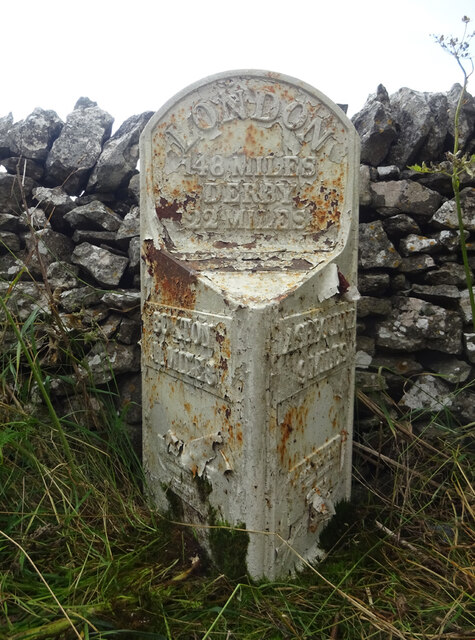
Nearby Locations
Related Wikis

High Peak Trail
The High Peak Trail is a 17-mile (27 km) trail for walkers, cyclists and horse riders in the Peak District of England. Running from Dowlow (53.2059°N 1...

Friden Goods Yard
Friden Goods Yard was a goods station located on the Cromford and High Peak Railway near the villages of Friden in Derbyshire. Mostly for moving mineral...

Friden, Derbyshire
Friden is a hamlet in the civil parish of Hartington Nether Quarter, Derbyshire, England. It is 11 miles (18 km) south-east of Buxton, just off the Newhaven...

Long Dale
Long Dale is a carboniferous limestone valley near the village of Elton, Derbyshire, in the Peak District of England. The dale is cut into the plateau...

Middleton and Smerrill
Middleton and Smerrill is a civil parish within the Derbyshire Dales district, in the county of Derbyshire, England. Largely rural except for the village...
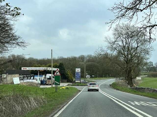
Newhaven, Derbyshire
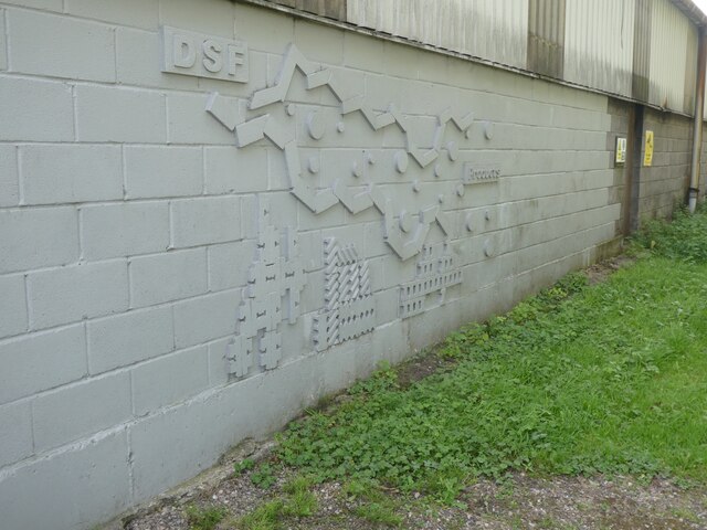
Newhaven is a hamlet in the county of Derbyshire, England, east of Hartington and west of Cromford. The principal employer in the area is DSF Refractories...

Pikehall
Pikehall is a small village in the Derbyshire Dales consisting of a few dozen households and a handful of farms. The population of the village is included...

Hartington Nether Quarter
Hartington Nether Quarter is a civil parish in the Derbyshire Dales district of Derbyshire, England. The parish was created from the subdivision of the...
Nearby Amenities
Located within 500m of 53.145782,-1.7333119Have you been to Little Bolderstone Plantation?
Leave your review of Little Bolderstone Plantation below (or comments, questions and feedback).