Joseph's Dingle
Valley in Montgomeryshire
Wales
Joseph's Dingle
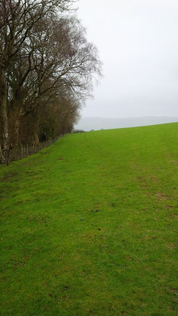
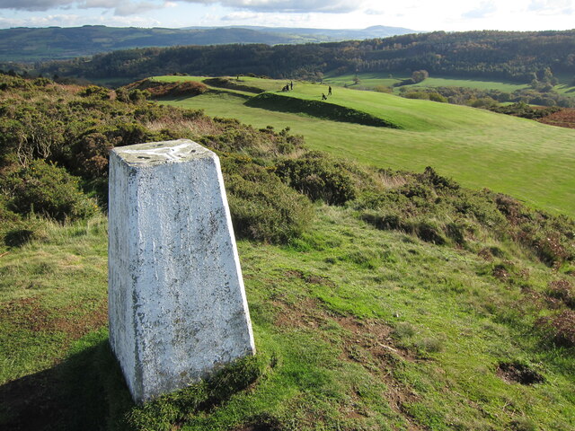
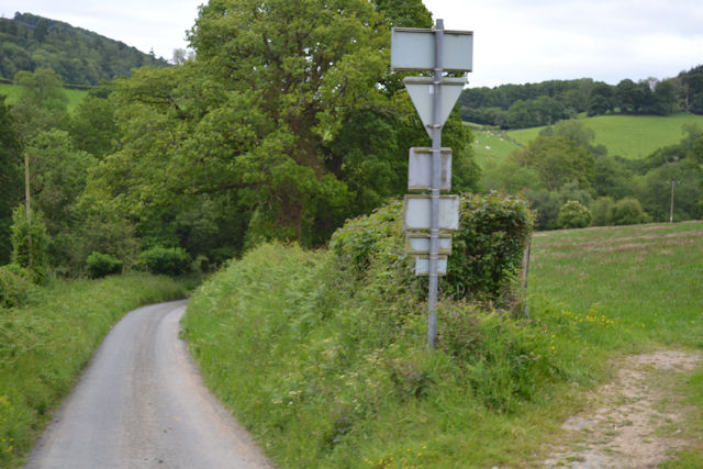
Joseph's Dingle is a picturesque valley located in Montgomeryshire, Wales. Nestled amidst the rolling hills and lush countryside, this enchanting destination offers visitors a peaceful retreat away from the hustle and bustle of city life.
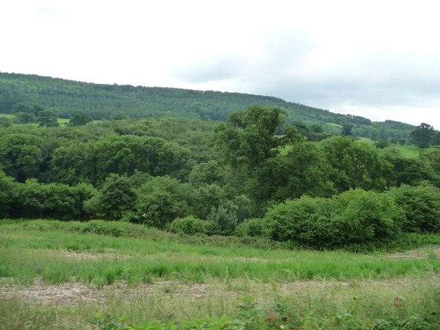
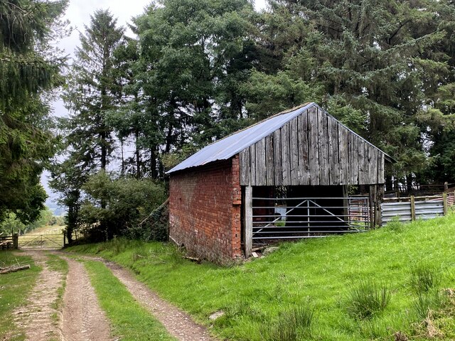
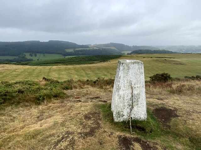
The valley is named after Joseph, a local farmer who once owned the land. With its natural beauty and tranquil atmosphere, Joseph's Dingle has become a popular spot for nature lovers and outdoor enthusiasts. The landscape is characterized by its verdant meadows, dense woodlands, and meandering streams, creating a haven for a diverse range of flora and fauna.
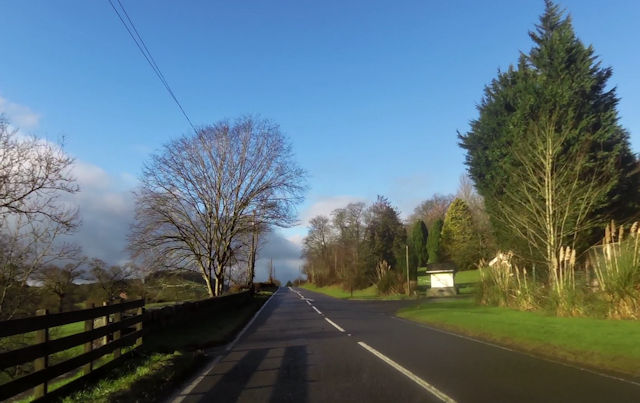
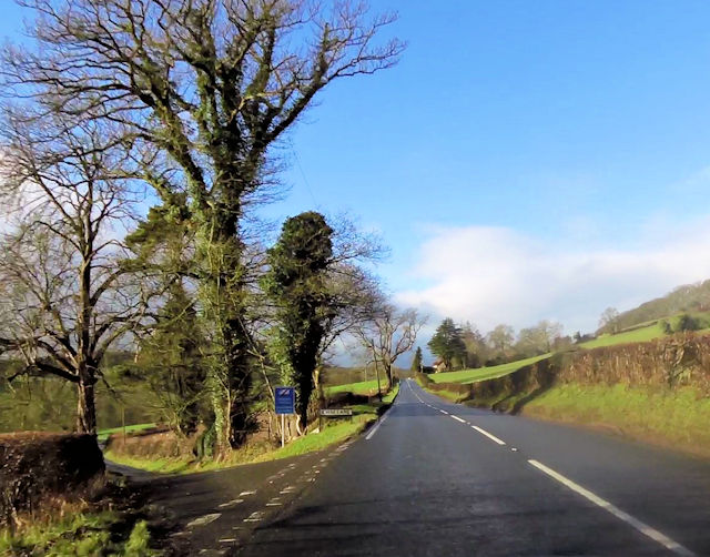
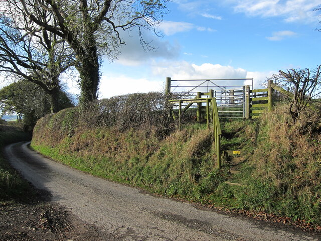
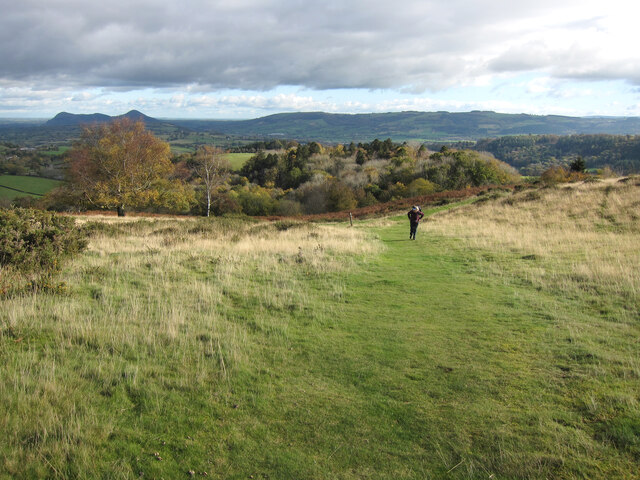
Visitors to Joseph's Dingle can enjoy a variety of recreational activities. The valley is crisscrossed with walking trails that cater to different fitness levels, allowing visitors to explore the area at their own pace. Hiking through the valley provides breathtaking views of the surrounding countryside and opportunities to spot wildlife such as deer, rabbits, and a variety of bird species.
For those seeking a more relaxed experience, Joseph's Dingle offers several picnic areas where visitors can unwind and enjoy a leisurely meal amidst the beautiful surroundings. The babbling brooks and peaceful ambiance make it an ideal spot for a family outing or a romantic picnic.
Throughout the year, Joseph's Dingle hosts various events and festivals that celebrate the local culture and heritage. These events often feature traditional music, dance, and arts and crafts, providing visitors with a glimpse into the vibrant community that calls this valley home.
Whether you are seeking tranquility in nature or a taste of Welsh culture, Joseph's Dingle in Montgomeryshire is sure to captivate and enchant visitors with its natural beauty and warm hospitality.
If you have any feedback on the listing, please let us know in the comments section below.
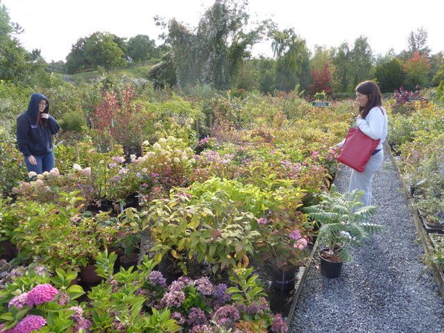
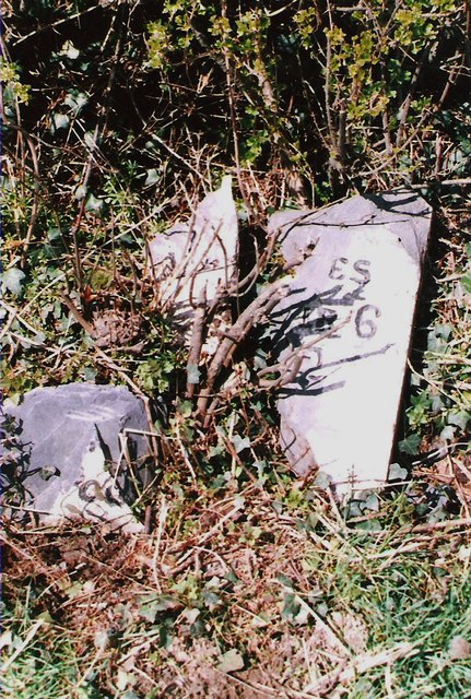
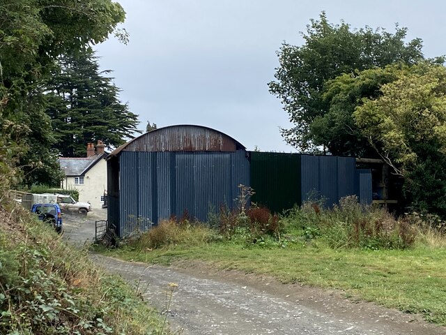
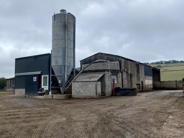
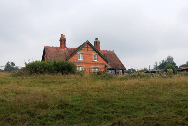
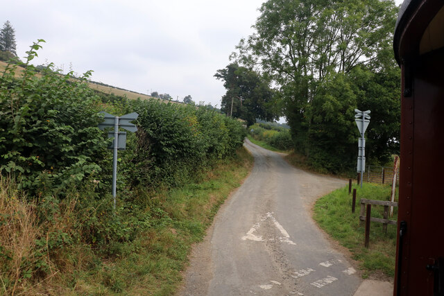
Joseph's Dingle Images
Images are sourced within 2km of 52.664919/-3.1865695 or Grid Reference SJ1908. Thanks to Geograph Open Source API. All images are credited.

Joseph's Dingle is located at Grid Ref: SJ1908 (Lat: 52.664919, Lng: -3.1865695)
Unitary Authority: Powys
Police Authority: Dyfed Powys
What 3 Words
///spark.example.factored. Near Welshpool, Powys
Nearby Locations
Related Wikis

Llanerchydol
Llanerchydol is a hamlet in Powys, Wales, situated on the A458 about 2 km west of the centre of Welshpool. It is part of the community of Welshpool and...

Welshpool Llanerchyddol
Welshpool Llanerchyddol (usually referred to as Llanerchyddol) is the name of an electoral ward in the town of Welshpool, Powys, Wales. It elects a councillor...

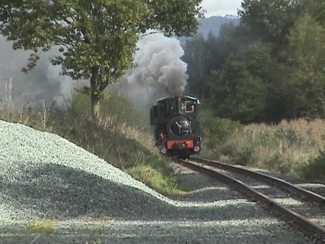
Welshpool Raven Square railway station
Welshpool Raven Square railway station, located in Welshpool, in Wales, is the eastern terminus of the narrow gauge Welshpool and Llanfair Light Railway...
Brook Street drill hall, Welshpool
The Brook Street drill hall is a military installation in Welshpool. == History == An armoury was established at Welshpool in the mid-19th century. It...

Christ Church, Welshpool
Christ Church, Welshpool was commissioned by the Earl of Powis to commemorate his son, Edward James, the Viscount Clive, having come of age. It was designed...

Powis Castle
Powis Castle (Welsh: Castell Powys) is a medieval castle, fortress and grand country house near Welshpool, in Powys, Wales. The seat of the Herbert family...
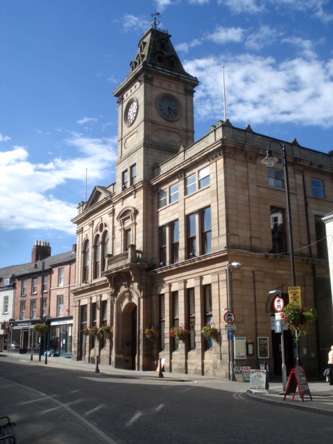
Welshpool Town Hall
Welshpool Town Hall (Welsh: Neuadd y Dref Y Trallwng), is a municipal building in Broad Street, Welshpool, Powys, Wales. The structure, which is the meeting...
Welshpool
Welshpool (Welsh: Y Trallwng) is a market town and community in Powys, Wales, historically in the county of Montgomeryshire. The town is four miles (six...
Nearby Amenities
Located within 500m of 52.664919,-3.1865695Have you been to Joseph's Dingle?
Leave your review of Joseph's Dingle below (or comments, questions and feedback).