Llwyni Dingle
Valley in Radnorshire
Wales
Llwyni Dingle
The requested URL returned error: 429 Too Many Requests
If you have any feedback on the listing, please let us know in the comments section below.
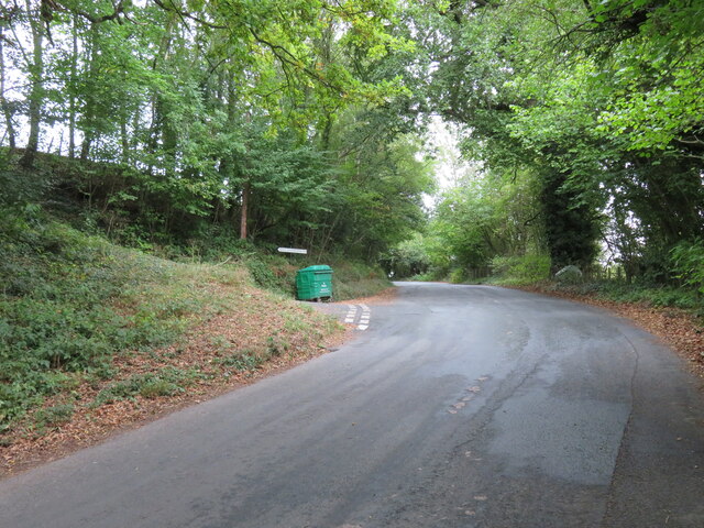
Llwyni Dingle Images
Images are sourced within 2km of 52.092449/-3.1715224 or Grid Reference SO1944. Thanks to Geograph Open Source API. All images are credited.
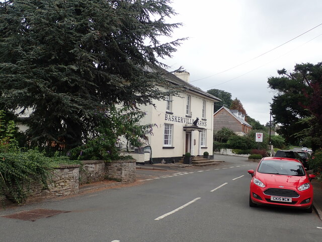

![The Baskerville Arms Pub/hotel in Clyro. The building stands at the side of the old main road [A438] which now by-passes the village centre.](https://s0.geograph.org.uk/geophotos/07/29/89/7298964_9f6595a2.jpg)


Llwyni Dingle is located at Grid Ref: SO1944 (Lat: 52.092449, Lng: -3.1715224)
Unitary Authority: Powys
Police Authority: Dyfed Powys
What 3 Words
///unscathed.bowhead.stag. Near Hay, Powys
Nearby Locations
Related Wikis

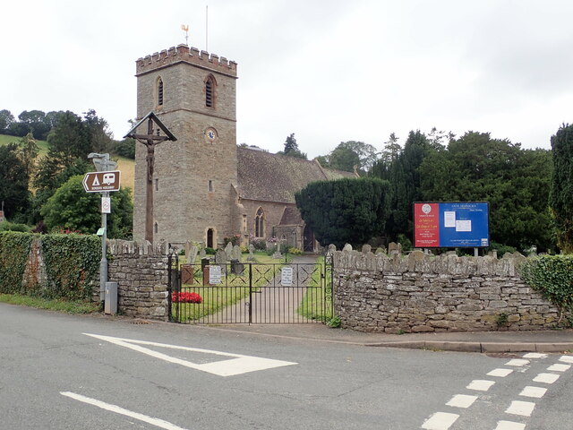
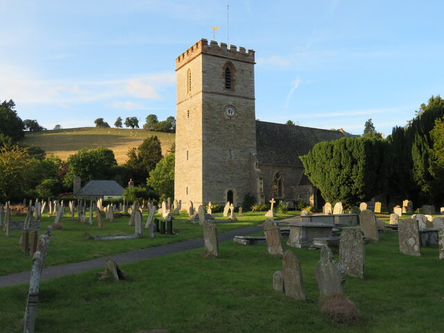
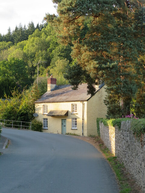
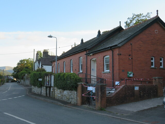
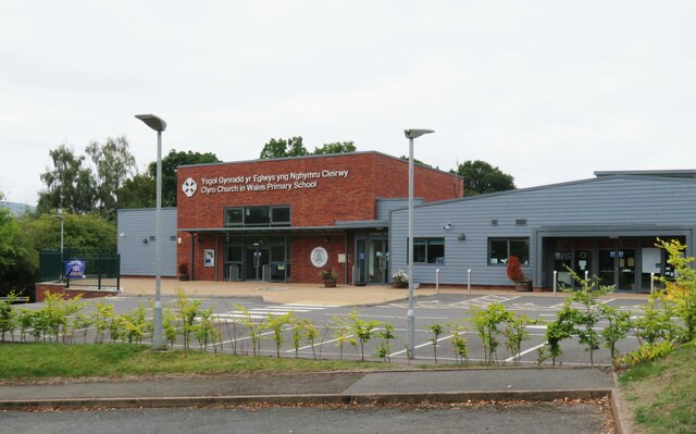
Clyro
Clyro (Welsh: Cleirwy) is a village and community in Radnorshire, Powys, Wales, with 781 inhabitants as of the 2011 UK Census. The nearest town is Hay...
Llowes
Llowes is a small village in the community of Glasbury, Powys, Wales. The village has approximately 110 inhabitants (2005). The nearest town is Hay-on...

Painscastle
Painscastle (Welsh: Castell-paen) is a village and community in Powys (formerly Radnorshire), Wales which takes its name from the castle at its heart....
Painscastle Castle
Painscastle Castle is a castle in the village of Painscastle in Powys, Wales. It lies between Builth and Hay-on-Wye, approximately 3 miles from the Wales...
Nearby Amenities
Located within 500m of 52.092449,-3.1715224Have you been to Llwyni Dingle?
Leave your review of Llwyni Dingle below (or comments, questions and feedback).