Den's Cleugh
Valley in Midlothian
Scotland
Den's Cleugh
Den's Cleugh is a picturesque valley located in Midlothian, Scotland. Nestled amidst the beautiful rolling hills, it offers a serene and tranquil escape from the hustle and bustle of everyday life. The name "Den's Cleugh" is derived from the Scottish term for a deep wooded glen, which perfectly describes the natural beauty of this area.
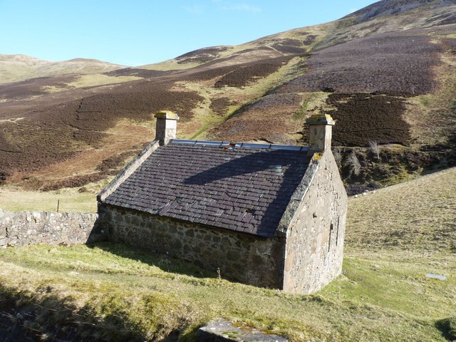
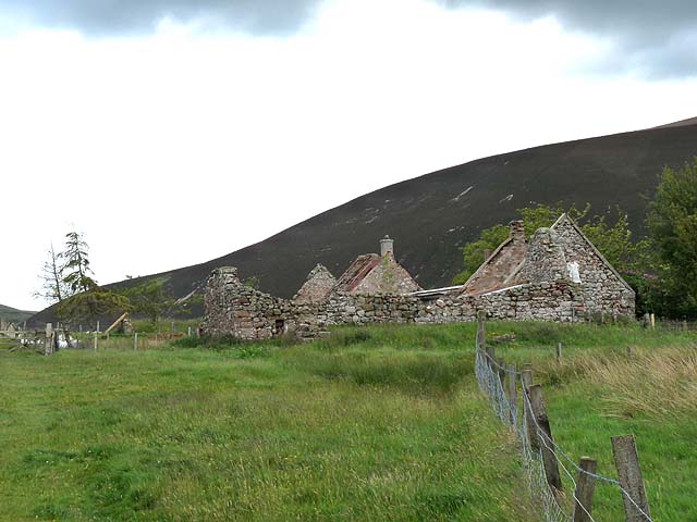
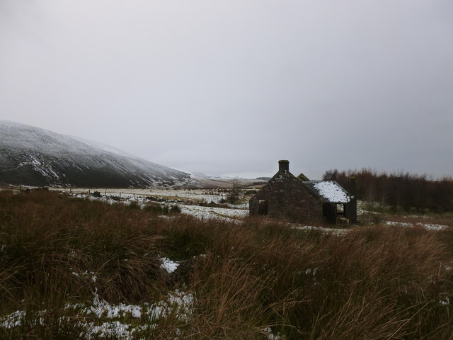
The valley is rich in history, with evidence of human habitation dating back thousands of years. There are several prehistoric sites, including stone circles and burial mounds, showcasing the ancient heritage of the region. The area also played a significant role in the mining industry, with old coal pits and remnants of mining infrastructure still visible today.
Nature enthusiasts will be delighted by the abundance of wildlife and stunning landscapes that Den's Cleugh has to offer. The valley is home to a diverse range of flora and fauna, including rare species such as the Scottish wildcat and golden eagle. The gently flowing streams and lush greenery make it a haven for birdwatchers and nature photographers.
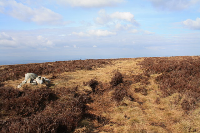
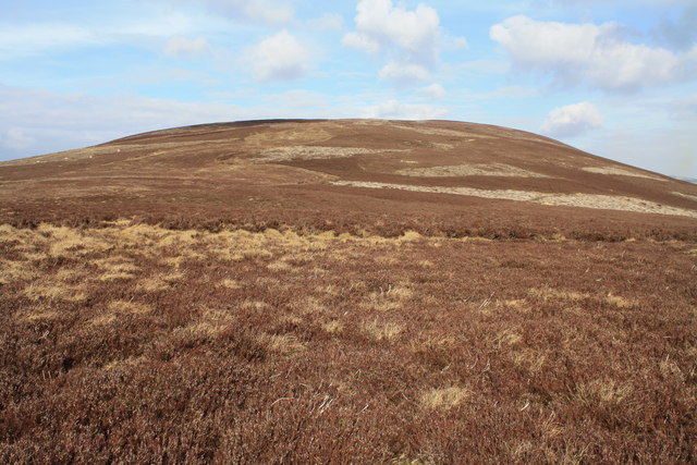
For those seeking outdoor activities, Den's Cleugh provides ample opportunities for hiking, cycling, and horseback riding. There are well-maintained trails that wind through the valley, offering breathtaking views at every turn. Visitors can also explore the nearby Pentland Hills and take in the panoramic vistas of the surrounding countryside.
With its rich history, natural beauty, and recreational possibilities, Den's Cleugh is a hidden gem in Midlothian that is well worth a visit for anyone seeking a peaceful and rejuvenating experience in the heart of Scotland.
If you have any feedback on the listing, please let us know in the comments section below.
Den's Cleugh Images
Images are sourced within 2km of 55.862981/-3.2809186 or Grid Reference NT1964. Thanks to Geograph Open Source API. All images are credited.


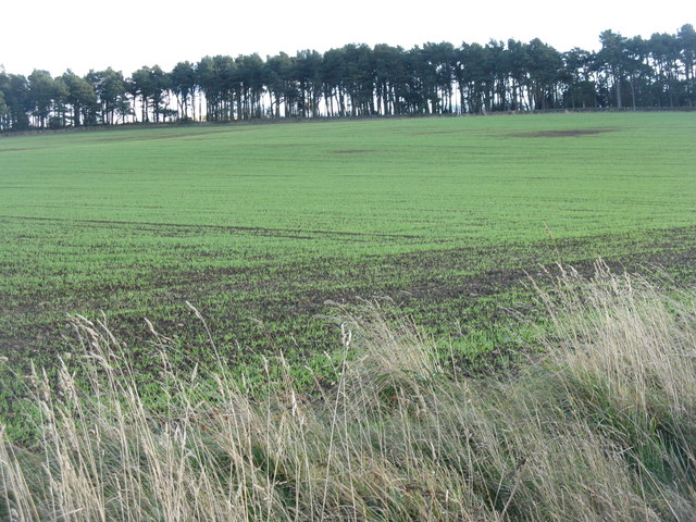

![Winter wheat in the Pentland Hills A recently sown field where once there would only have been rough pasture. New cultivars allow winter cereals to be grown in quite severe conditions. This crop is not yet germinating, and there is evidence of erosion from rain run-off in the foreground. The long low hills in the distance are West and East Cairn Hills [10km to the southwest], the one on the left is Hare Hill, much nearer at 4km.](https://s0.geograph.org.uk/geophotos/02/67/63/2676348_944a7245.jpg)

Den's Cleugh is located at Grid Ref: NT1964 (Lat: 55.862981, Lng: -3.2809186)
Unitary Authority: Midlothian
Police Authority: The Lothians and Scottish Borders
What 3 Words
///bitter.coil.adopt. Near Balerno, Edinburgh
Nearby Locations
Related Wikis

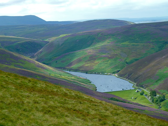
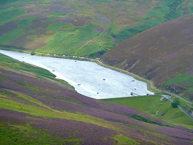
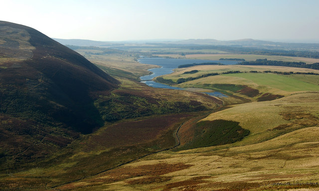
Glencorse Reservoir
Glencorse Reservoir is a reservoir in Midlothian, Scotland, two miles west of Glencorse, in the Pentland Hills. It is retained by an earth dam, and it...

Loganlea Reservoir
Loganlea Reservoir is a small reservoir in the Pentland Hills, Midlothian, Scotland, UK. The Logan Burn connects the reservoir with Glencorse Reservoir...

Harlaw Reservoir
Harlaw Reservoir is a small reservoir in the City of Edinburgh Council area, Scotland, UK, situated at the base of the Pentland Hills near Currie and Balerno...

Battle of Rullion Green
The Battle of Rullion Green took place on 28 November 1666, near the Pentland Hills, in Midlothian, Scotland. It was the only significant battle of the...
Nearby Amenities
Located within 500m of 55.862981,-3.2809186Have you been to Den's Cleugh?
Leave your review of Den's Cleugh below (or comments, questions and feedback).