Gaer Wood

Wood, Forest in Montgomeryshire

Wales

Gaer Wood

Entrance drive to Hidden Valley caravan park The drive is not very inconspicuous considering the name. Caravan people seem to like this though. In my experience caravan parks have their own vernacular, their own reference points that their users must see.
Entrance drive to Hidden Valley caravan park Credit: Jeremy Bolwell

The requested URL returned error: 429 Too Many Requests

If you have any feedback on the listing, please let us know in the comments section below.
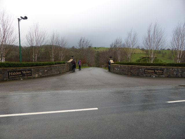
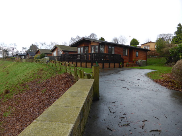
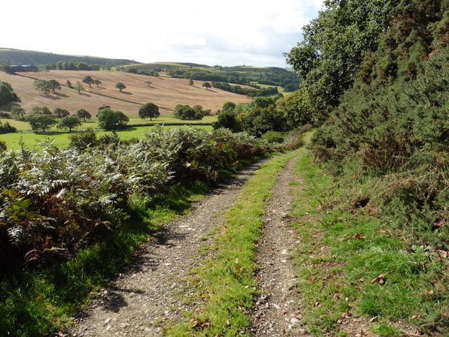
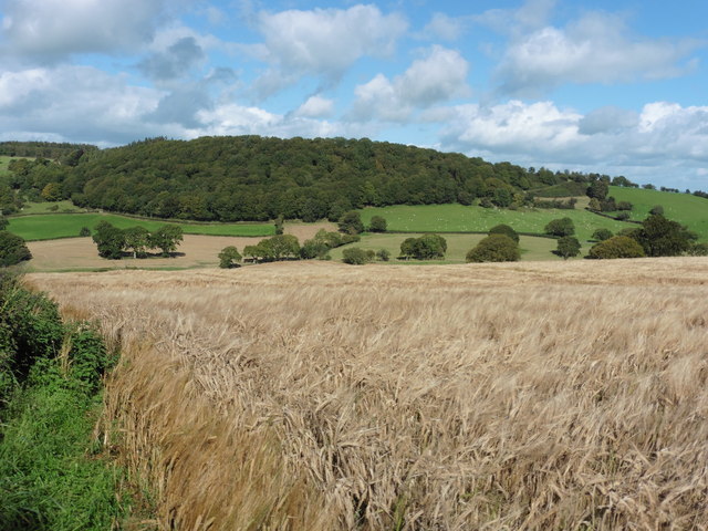
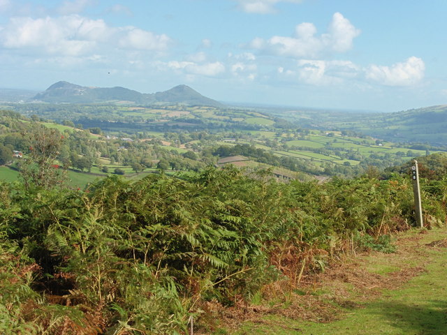
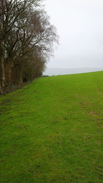
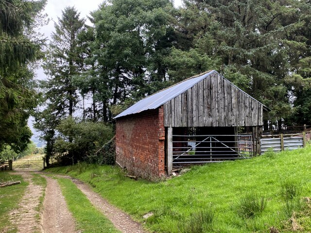
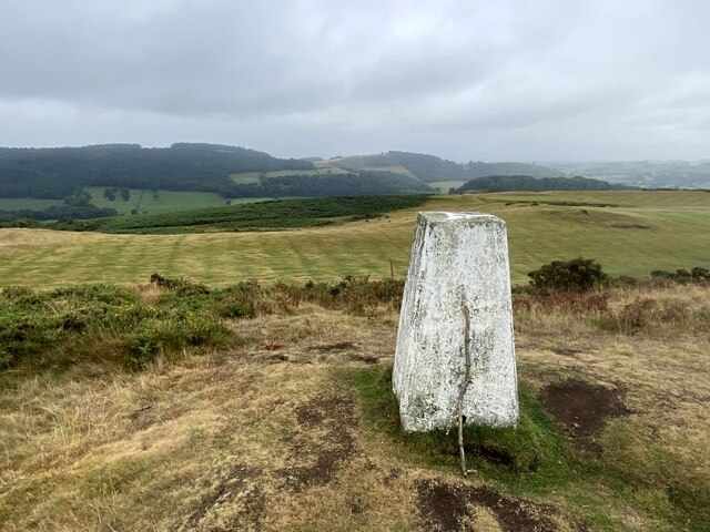
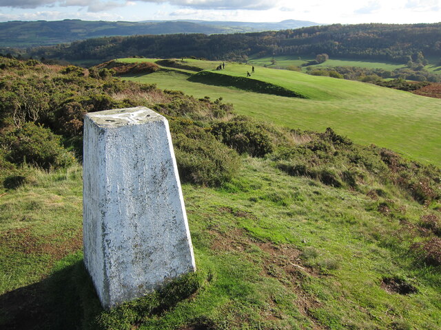
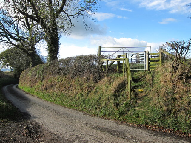
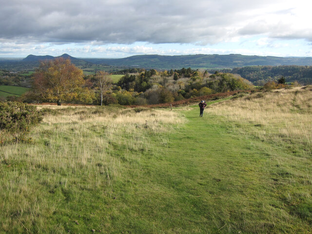
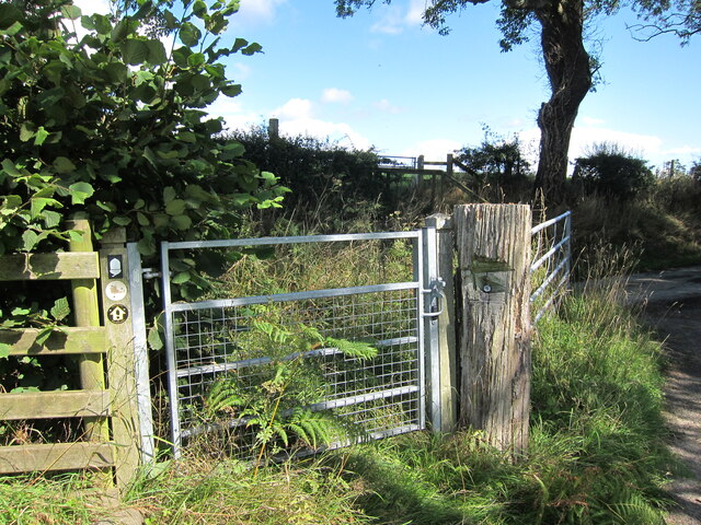
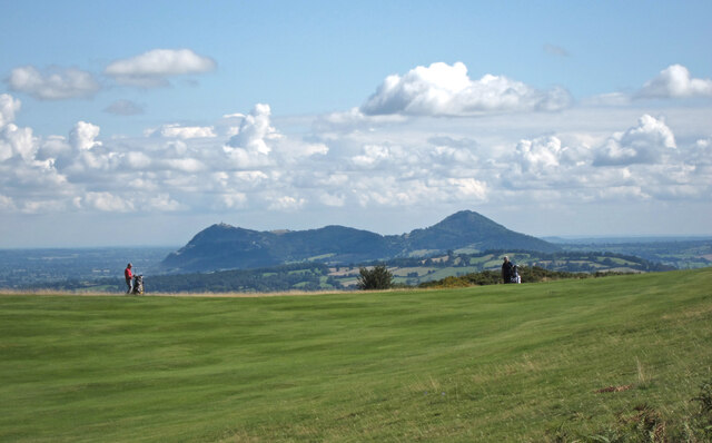
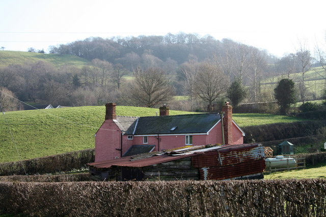
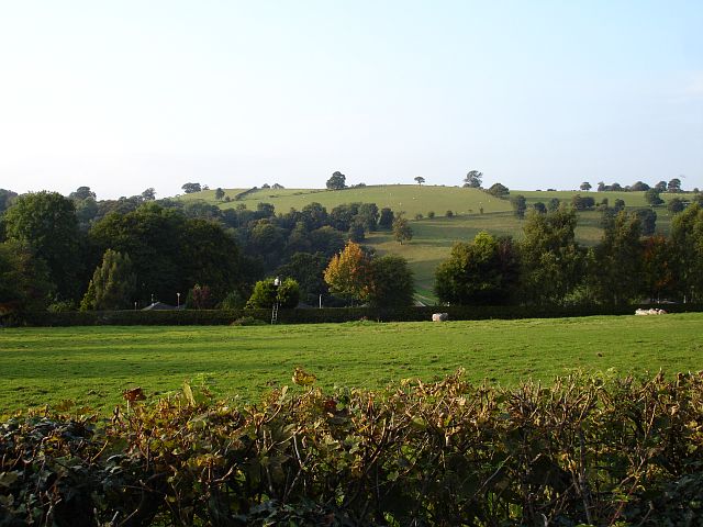
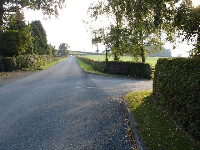
Gaer Wood Images

Images are sourced within 2km of 52.6709/-3.1987846 or Grid Reference SJ1908. Thanks to Geograph Open Source API. All images are credited.

Entrance drive to Hidden Valley caravan park The drive is not very inconspicuous considering the name. Caravan people seem to like this though. In my experience caravan parks have their own vernacular, their own reference points that their users must see.
Entrance drive to Hidden Valley caravan park
The drive is not very inconspicuous considering the name. Caravan people seem to like this though. In my experience caravan parks have their own vernacular, their own reference points that their users must see.
Chalets at Hidden Valley Holiday Park The park has a variety of accommodation for all types of user.
Chalets at Hidden Valley Holiday Park
The park has a variety of accommodation for all types of user.
Glyndwr's Way near Craig Wood
Glyndwr's Way looking towards Craig Wood The path has been rerouted along two fields.
Glyndwr's Way looking towards Craig Wood
The path has been rerouted along two fields.
View from Glyndwr's Way by Welshpool Golf Club
Glyndŵr's Way The footpath here doesn't seem to be used much as it is not visible on the ground.
Glyndŵr's Way
The footpath here doesn't seem to be used much as it is not visible on the ground.
Part of the Dingle Nurseries Shoppers decide which plants to purchase today.
Part of the Dingle Nurseries
Shoppers decide which plants to purchase today.
Barn, northeast of Pen-y-Golfa
Trig point on Y Golfa, 1108' / 341m
Gate for Glyndwr's Way Glyndŵr’s Way is an 135 mile (217 Km) long National Trail meandering through the open moorland, rolling farmland, woodland and forest of mid-Wales. Starting in Knighton and ending in Welshpool, the Trail is named after Owain Glyndŵr’, Prince of Wales and Medieval Welsh nationalist leader who organised a rebellion against the English king, Henry IV in 1400.
Gate for Glyndwr's Way
Glyndŵr’s Way is an 135 mile (217 Km) long National Trail meandering through the open moorland, rolling farmland, woodland and forest of mid-Wales. Starting in Knighton and ending in Welshpool, the Trail is named after Owain Glyndŵr’, Prince of Wales and Medieval Welsh nationalist leader who organised a rebellion against the English king, Henry IV in 1400.
Path to the trig point on Y Golfa The far left hill is Breidden Hill.
Path to the trig point on Y Golfa
The far left hill is Breidden Hill.
Path near Gaer Farm
Path near Gaer Farm
Footpath gate on Glyndwr's Way A bit overgrown as people seem to use the open gate.
The acorn symbol is used on waymarks on all the National Trails.
Footpath gate on Glyndwr's Way
A bit overgrown as people seem to use the open gate. The acorn symbol is used on waymarks on all the National Trails.
Golf and the Breidden Hills On the far left hill is Rodney’s Pillar.
Golf and the Breidden Hills
On the far left hill is Rodney’s Pillar.
'Pink Cottage' Bed and Breakfast establishment.  Moel y Garth in the background.
'Pink Cottage'
Bed and Breakfast establishment. Moel y Garth in the background.
Hidden Valley Holiday Park Well hidden behind the hedge with just the rooftops of the chalets visible.
Hidden Valley Holiday Park
Well hidden behind the hedge with just the rooftops of the chalets visible.
Road at Stonehouse This road runs from Groes-lwyd to Cyfronydd. The entrance to Stonehouse Farm is on the left and to Pant Farm and the Hidden Valley Holiday Park on the left.
Road at Stonehouse
This road runs from Groes-lwyd to Cyfronydd. The entrance to Stonehouse Farm is on the left and to Pant Farm and the Hidden Valley Holiday Park on the left.
Show me another place!

Gaer Wood is located at Grid Ref: SJ1908 (Lat: 52.6709, Lng: -3.1987846)

Unitary Authority: Powys

Police Authority: Dyfed Powys

What 3 Words

///bins.snuggle.shoelaces. Near Welshpool, Powys

Related Wikis

Llanerchydol

Llanerchydol is a hamlet in Powys, Wales, situated on the A458 about 2 km west of the centre of Welshpool. It is part of the community of Welshpool and...

Welshpool Llanerchyddol

Welshpool Llanerchyddol (usually referred to as Llanerchyddol) is the name of an electoral ward in the town of Welshpool, Powys, Wales. It elects a councillor...

Sylfaen railway station

Sylfaen Halt railway station, located in the tiny hamlet of Sylfaen on the A548, is an unstaffed request halt on the narrow gauge Welshpool and Llanfair...

Welshpool Raven Square railway station

Welshpool Raven Square railway station, located in Welshpool, in Wales, is the eastern terminus of the narrow gauge Welshpool and Llanfair Light Railway...

Nearby Amenities

Located within 500m of 52.6709,-3.1987846
Place: farm
Lat/Long: 52.6674882/-3.2034513
The data included in this document is from www.openstreetmap.org. The data is made available under ODbL.

Have you been to Gaer Wood?

Leave your review of Gaer Wood below (or comments, questions and feedback).