Lower Birch Wood
Wood, Forest in Denbighshire
Wales
Lower Birch Wood

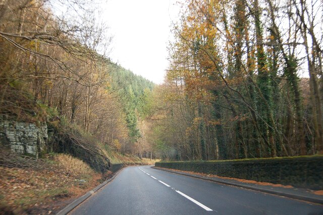
Lower Birch Wood is a picturesque woodland located in Denbighshire, Wales. Covering an area of approximately 50 hectares, this forest is a haven for nature enthusiasts and outdoor lovers. The wood is situated on the eastern slopes of the Clwydian Range, providing visitors with breathtaking views of the surrounding countryside.
The woodland is predominantly composed of birch trees, which give it its name. These elegant trees create a dense canopy, casting dappled sunlight on the forest floor. In addition to birch, the wood is also home to a variety of other tree species such as oak, beech, and holly, creating a diverse and vibrant ecosystem.
Lower Birch Wood is known for its rich biodiversity, with a wide range of wildlife calling it home. Visitors may come across deer, badgers, foxes, and a plethora of bird species, including the great spotted woodpecker and tawny owl. The wood is also renowned for its vibrant wildflower displays, with bluebells and primroses carpeting the forest floor in the spring.
The woodland offers numerous walking trails, allowing visitors to explore its natural beauty at their own pace. These paths wind through the forest, leading to viewpoints that offer panoramic vistas of the surrounding countryside. Lower Birch Wood is a popular spot for outdoor activities such as birdwatching, photography, and picnicking.
Overall, Lower Birch Wood in Denbighshire is a stunning woodland, providing a tranquil and scenic escape for nature lovers. Whether one is seeking a peaceful walk or an opportunity to immerse themselves in the beauty of nature, this forest is sure to captivate and delight.
If you have any feedback on the listing, please let us know in the comments section below.
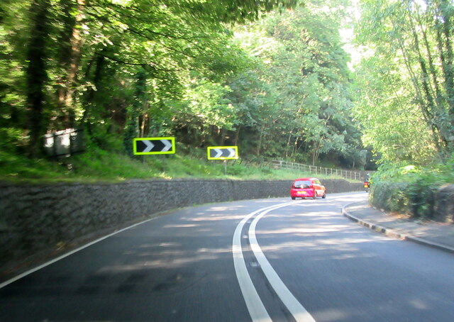
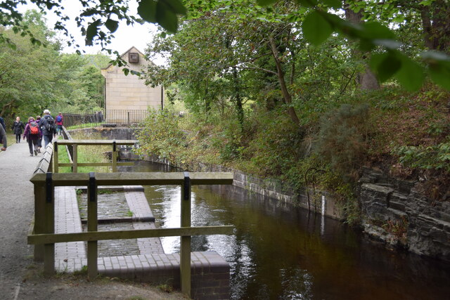
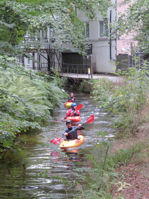
Lower Birch Wood Images
Images are sourced within 2km of 52.96799/-3.2069458 or Grid Reference SJ1941. Thanks to Geograph Open Source API. All images are credited.


Lower Birch Wood is located at Grid Ref: SJ1941 (Lat: 52.96799, Lng: -3.2069458)
Unitary Authority: Denbighshire
Police Authority: North Wales
What 3 Words
///accompany.meanest.loaning. Near Llangollen, Denbighshire
Nearby Locations
Related Wikis
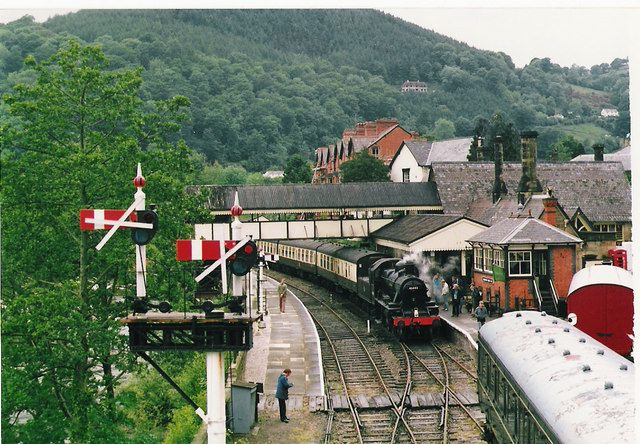
Llangollen Railway
The Llangollen Railway (Welsh: Rheilffordd Llangollen) is a volunteer-run heritage railway in Denbighshire, North Wales, which operates between Llangollen...

Berwyn, Denbighshire
Berwyn is a settlement in Denbighshire, Wales. The settlement is situated a mile north-west of Llangollen and is adjacent to the River Dee. The Horseshoe...
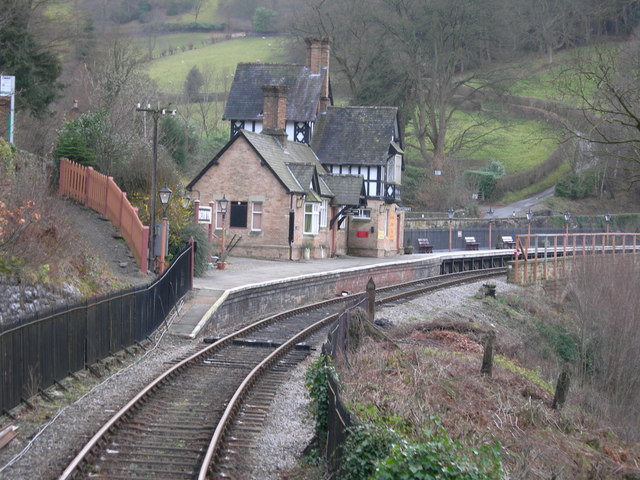
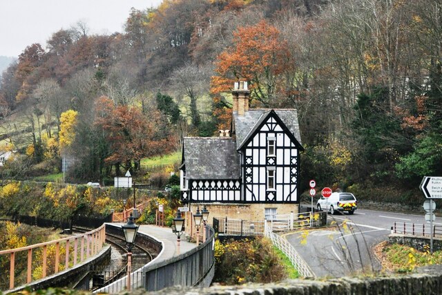
Berwyn railway station
Berwyn railway station in Denbighshire, Wales, is a railway station on the former cross-country line between Ruabon and Barmouth. The station, which opened...
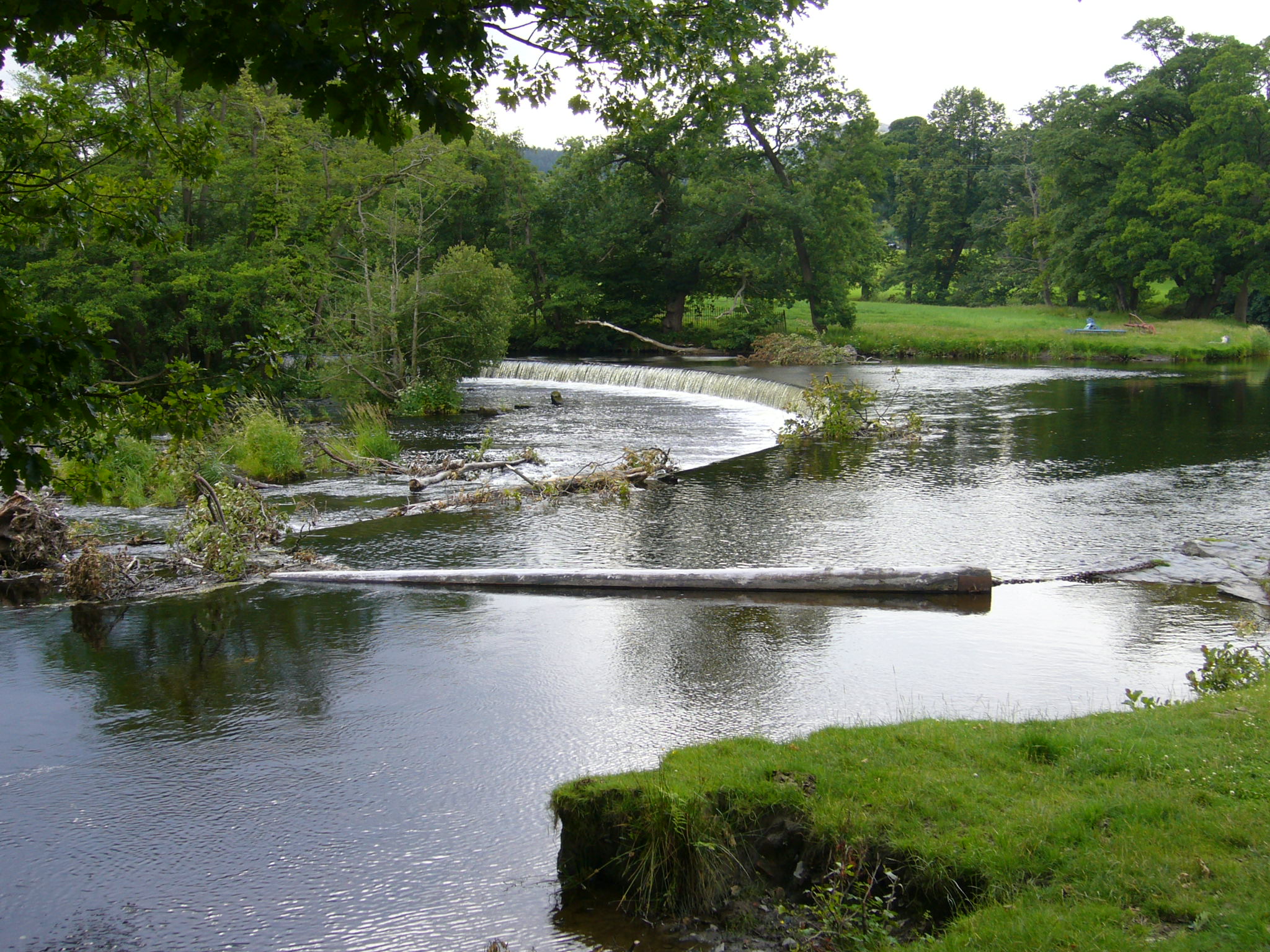
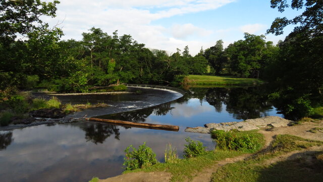
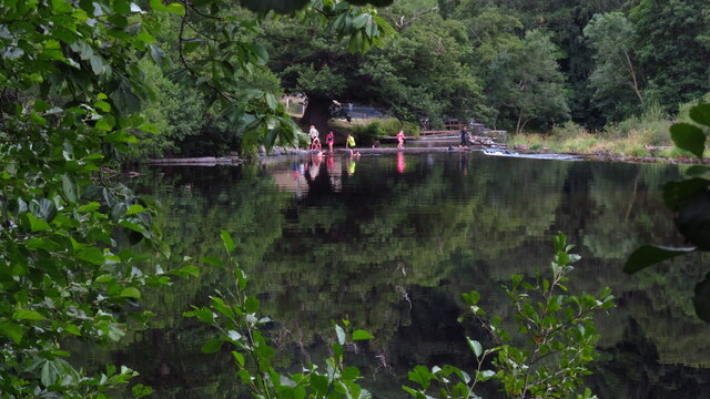
Horseshoe Falls (Wales)
Horseshoe Falls (Welsh: Rhaeadr y Bedol) (grid reference SJ196433) is a weir on the River Dee near Llantysilio Hall in Denbighshire, Wales, about 5 kilometres...
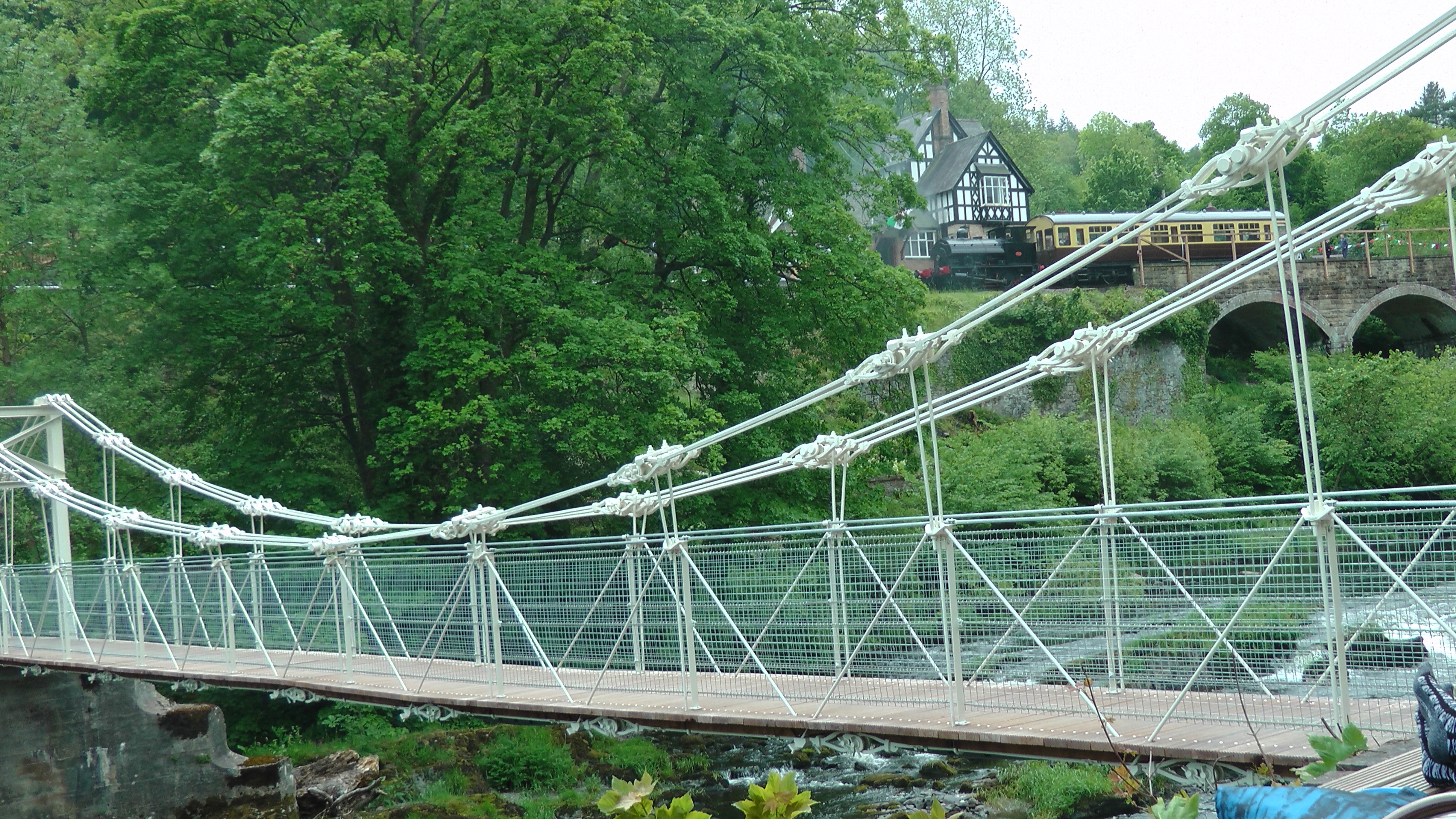
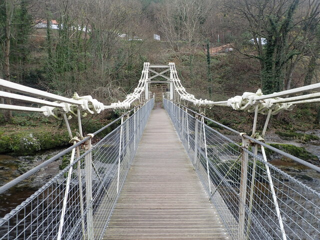
Chain Bridge (Berwyn)
The Chain Bridge is a footbridge over the River Dee at Berwyn, Llangollen, Denbighshire, north Wales. Is owned by Llangollen Town Council and a pathway...

Bryntysilio Hall
Bryntysilio Hall is a country house in Llantysilio, Denbighshire, north Wales, two miles west of Llangollen. It was the summer residence of Sir Theodore...

Llantysilio
Llantysilio (Welsh: Llandysilio-yn-Iâl) is a community in Denbighshire, Wales, near Llangollen. It has a population of 472, falling to 421 at the 2011...
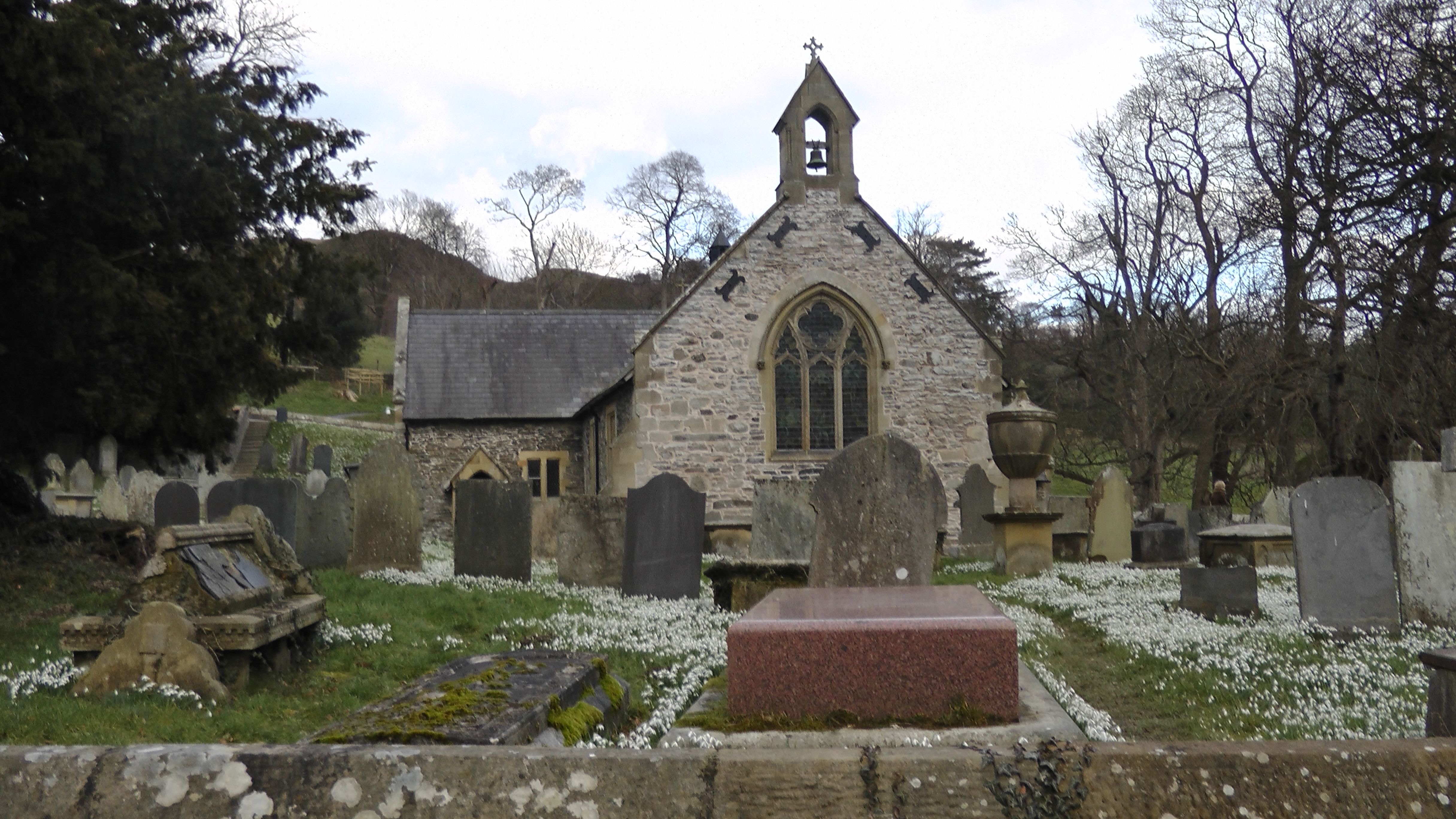
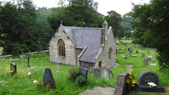
St Tysilio's Church, Llantysilio
Llantysilio Church is a parish church in Llantysilio, near Llangollen, Denbighshire, North Wales.It sits on uprising land from the banks of the river Dee...
Nearby Amenities
Located within 500m of 52.96799,-3.2069458Have you been to Lower Birch Wood?
Leave your review of Lower Birch Wood below (or comments, questions and feedback).