Horseshoe Covert
Wood, Forest in Denbighshire
Wales
Horseshoe Covert

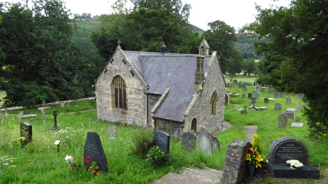
Horseshoe Covert is a picturesque woodland located in Denbighshire, Wales. Situated near the village of Llangollen, this enchanting forest covers an area of approximately 50 hectares. The name "Horseshoe Covert" is derived from the distinctive horseshoe shape formed by the surrounding hills that enclose the woodland.
The woodland is primarily made up of deciduous trees, including oak, beech, and birch, creating a rich and diverse habitat for various flora and fauna. The forest floor is adorned with a carpet of bluebells and wildflowers in the spring, adding a burst of vibrant colors to the tranquil setting. The trees provide a canopy that shelters a variety of bird species, such as woodpeckers, owls, and thrushes, making it a haven for birdwatchers.
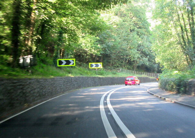
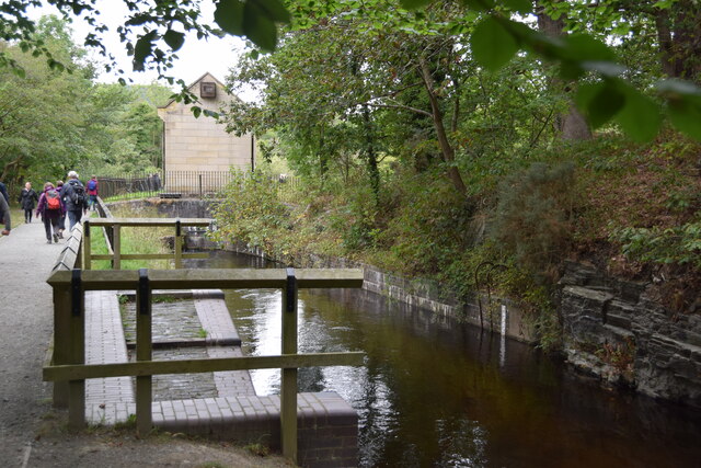
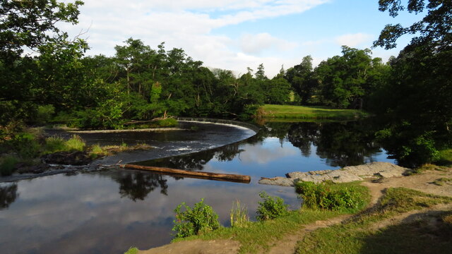
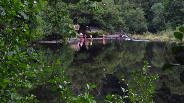
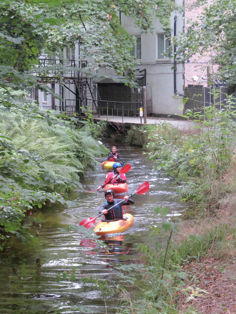
Horseshoe Covert offers a network of well-maintained walking trails, allowing visitors to explore the beauty of the woodland at their own pace. The paths wind through the trees, offering glimpses of the surrounding hills and the River Dee in the distance. Along the trails, there are several seating areas where visitors can rest and immerse themselves in the tranquility of their surroundings.
The woodland is managed by the local council, ensuring the preservation of its natural beauty and the protection of its wildlife. It is open to the public year-round, and entry is free of charge. Horseshoe Covert provides a serene escape from the hustle and bustle of everyday life, inviting visitors to connect with nature and enjoy the peace and serenity it offers.
If you have any feedback on the listing, please let us know in the comments section below.
Horseshoe Covert Images
Images are sourced within 2km of 52.967827/-3.1964138 or Grid Reference SJ1941. Thanks to Geograph Open Source API. All images are credited.


Horseshoe Covert is located at Grid Ref: SJ1941 (Lat: 52.967827, Lng: -3.1964138)
Unitary Authority: Denbighshire
Police Authority: North Wales
What 3 Words
///chops.depth.hologram. Near Llangollen, Denbighshire
Nearby Locations
Related Wikis
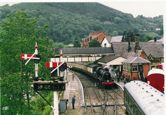
Llangollen Railway
The Llangollen Railway (Welsh: Rheilffordd Llangollen) is a volunteer-run heritage railway in Denbighshire, North Wales, which operates between Llangollen...

Berwyn, Denbighshire
Berwyn is a settlement in Denbighshire, Wales. The settlement is situated a mile north-west of Llangollen and is adjacent to the River Dee. The Horseshoe...
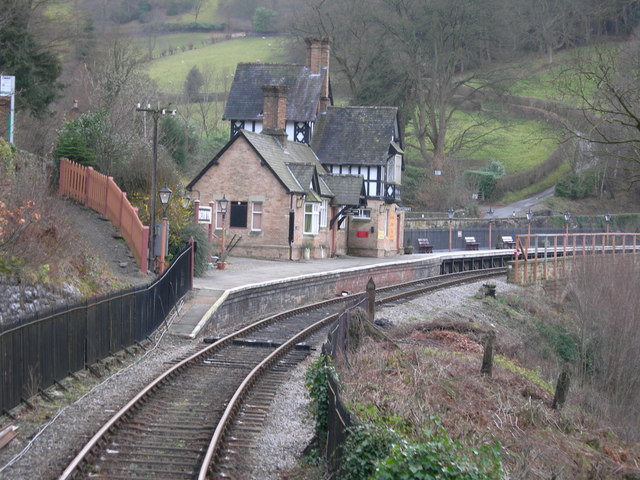
Berwyn railway station
Berwyn railway station in Denbighshire, Wales, is a railway station on the former cross-country line between Ruabon and Barmouth. The station, which opened...
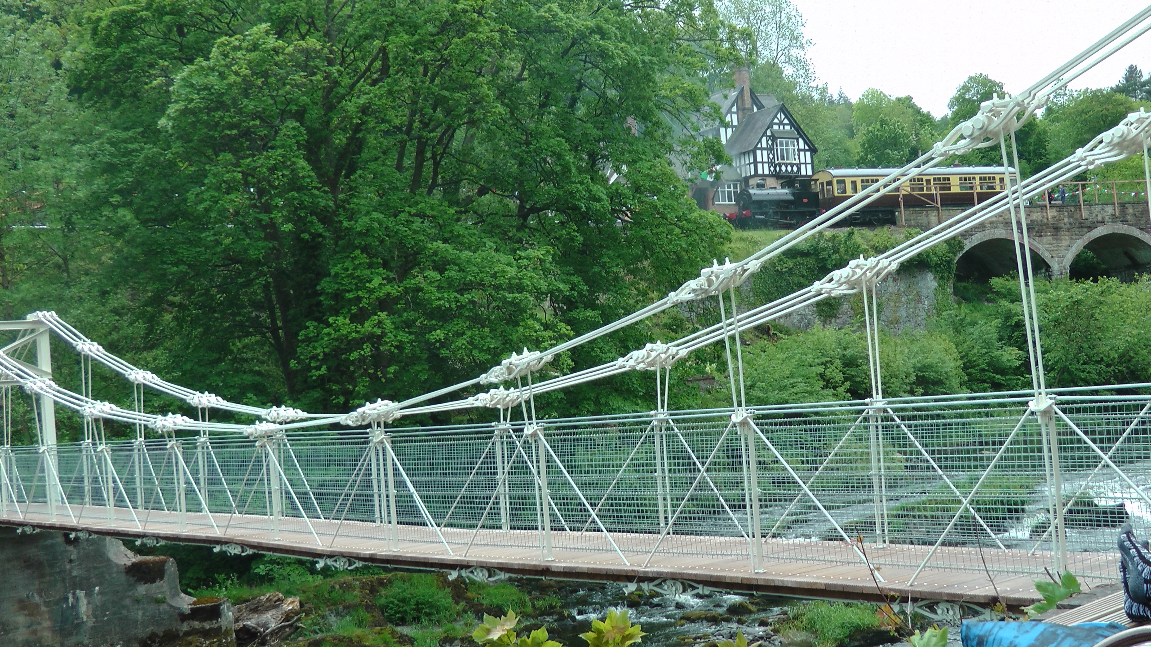
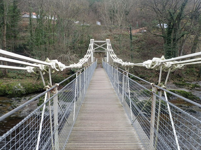
Chain Bridge (Berwyn)
The Chain Bridge is a footbridge over the River Dee at Berwyn, Llangollen, Denbighshire, north Wales. Is owned by Llangollen Town Council and a pathway...
Nearby Amenities
Located within 500m of 52.967827,-3.1964138Have you been to Horseshoe Covert?
Leave your review of Horseshoe Covert below (or comments, questions and feedback).