Barber's Hill
Hill, Mountain in Denbighshire
Wales
Barber's Hill

Barber's Hill is a prominent hill located in Denbighshire, Wales. Rising to an elevation of approximately 530 meters (1,739 feet), it offers breathtaking panoramic views of the surrounding countryside. This majestic mountain is part of the Clwydian Range and forms an integral part of the Area of Outstanding Natural Beauty.
The hill is characterized by its rugged terrain, consisting of steep slopes and rocky outcrops, making it a popular destination for hikers and outdoor enthusiasts. Its distinctive shape and prominent location make it easily recognizable from miles away, adding to its allure.
Barber's Hill is home to a diverse range of flora and fauna, with heather, gorse, and bracken covering the slopes, creating a colorful tapestry during the summer months. The hill provides a habitat for several species of birds, including raptors such as kestrels and buzzards, adding to the area's natural beauty and biodiversity.
Visitors to Barber's Hill can enjoy a network of well-marked trails, offering varying levels of difficulty. These trails provide an opportunity to explore the hill's natural wonders, offering breathtaking views of the rolling countryside, neighboring hills, and even glimpses of the Irish Sea on clear days.
With its stunning landscapes, diverse wildlife, and challenging trails, Barber's Hill is a must-visit destination for nature lovers and outdoor enthusiasts seeking to immerse themselves in the beauty of Denbighshire's countryside.
If you have any feedback on the listing, please let us know in the comments section below.
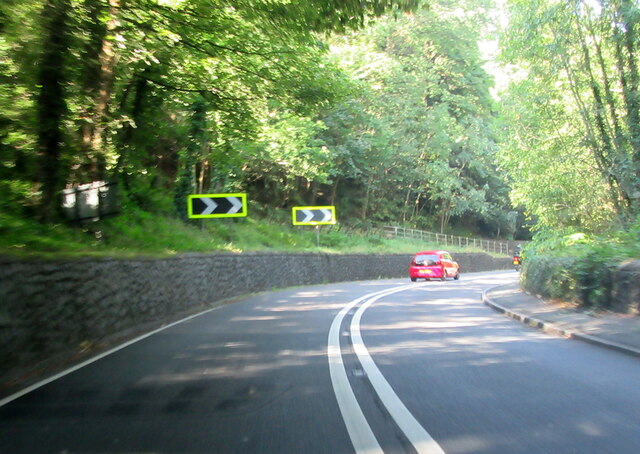
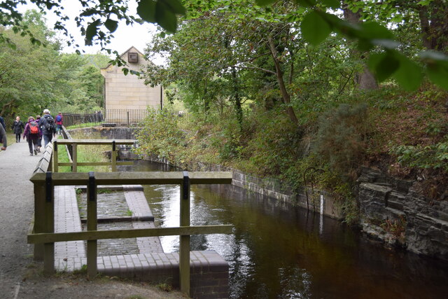
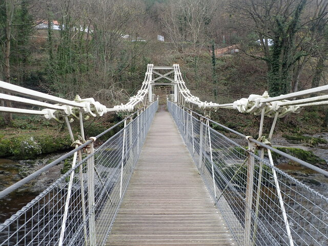
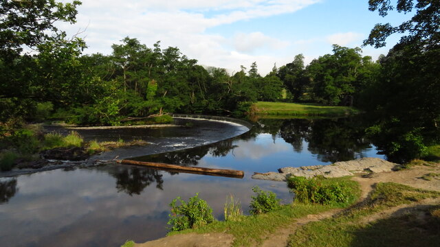
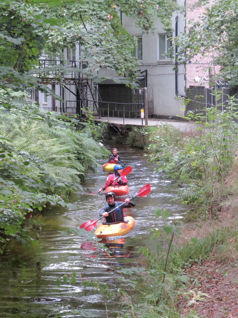
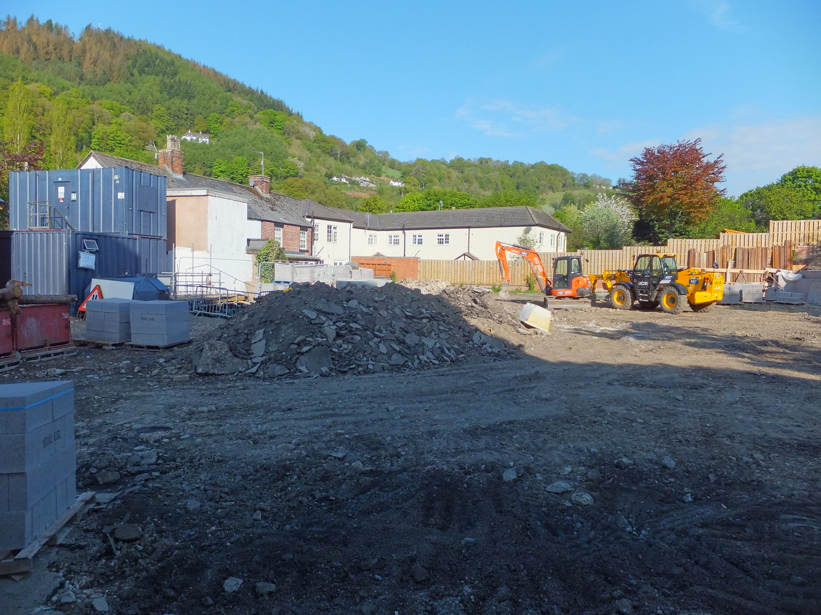
Barber's Hill Images
Images are sourced within 2km of 52.967603/-3.1926851 or Grid Reference SJ1941. Thanks to Geograph Open Source API. All images are credited.


Barber's Hill is located at Grid Ref: SJ1941 (Lat: 52.967603, Lng: -3.1926851)
Unitary Authority: Denbighshire
Police Authority: North Wales
Also known as: Geraint Hill
What 3 Words
///efficient.reflect.cherub. Near Llangollen, Denbighshire
Nearby Locations
Related Wikis
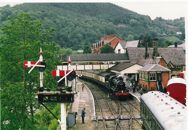
Llangollen Railway
The Llangollen Railway (Welsh: Rheilffordd Llangollen) is a volunteer-run heritage railway in Denbighshire, North Wales, which operates between Llangollen...
Llangollen Community Hospital
Llangollen Community Hospital (Welsh: Ysbyty Cymunedol Llangollen) was a community hospital in Llangollen, Wales. It was managed by Betsi Cadwaladr University...

Berwyn, Denbighshire
Berwyn is a settlement in Denbighshire, Wales. The settlement is situated a mile north-west of Llangollen and is adjacent to the River Dee. The Horseshoe...

Llangollen International Musical Eisteddfod
The Llangollen International Musical Eisteddfod is a music festival which takes place every year during the second week of July in Llangollen, North Wales...
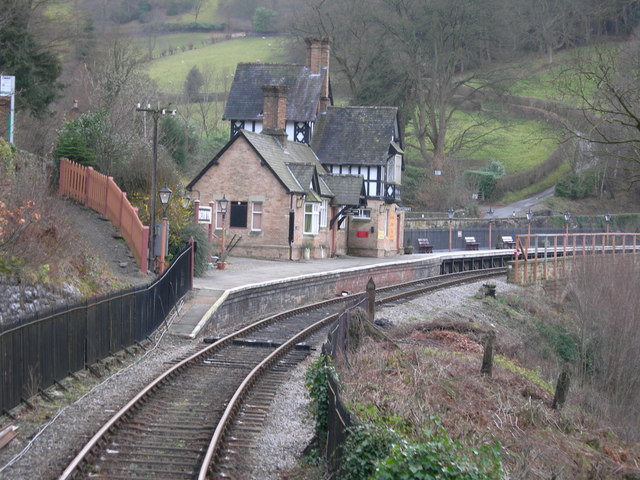
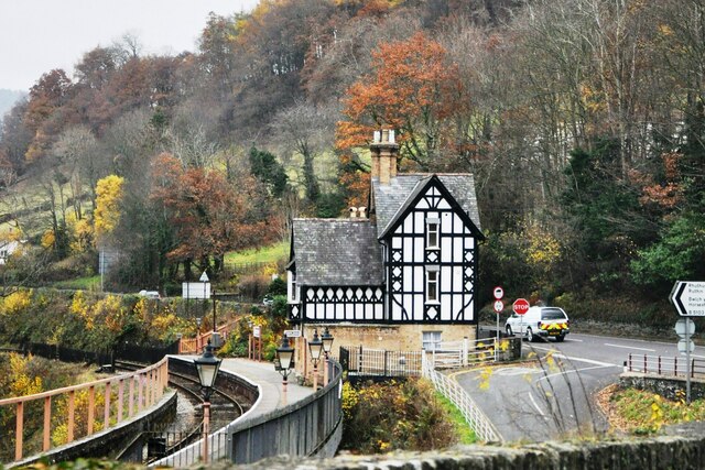
Berwyn railway station
Berwyn railway station in Denbighshire, Wales, is a railway station on the former cross-country line between Ruabon and Barmouth. The station, which opened...
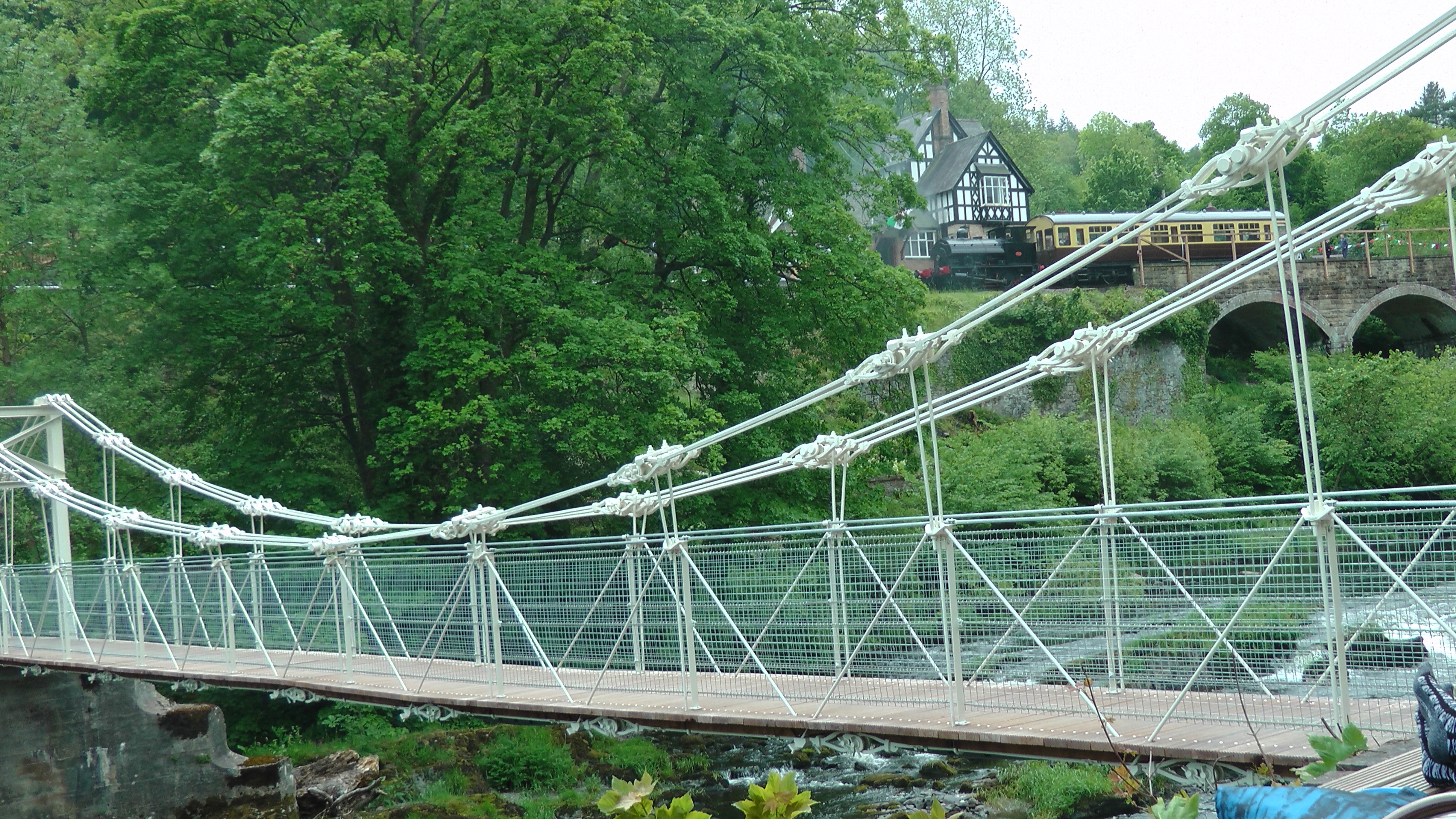
Chain Bridge (Berwyn)
The Chain Bridge is a footbridge over the River Dee at Berwyn, Llangollen, Denbighshire, north Wales. Is owned by Llangollen Town Council and a pathway...

Llangollen Town F.C.
Llangollen Town F.C. is a Welsh football club based in Llangollen playing in the Ardal NE. They were founded in 1908. == History == The club joined the...

Llangollen Town Hall
Llangollen Town Hall (Welsh: Neuadd y Dref Llangollen), is a municipal building in Castle Street, Llangollen, Denbighshire, Wales. The structure, which...
Nearby Amenities
Located within 500m of 52.967603,-3.1926851Have you been to Barber's Hill?
Leave your review of Barber's Hill below (or comments, questions and feedback).