Ireland Plantation
Wood, Forest in Radnorshire
Wales
Ireland Plantation
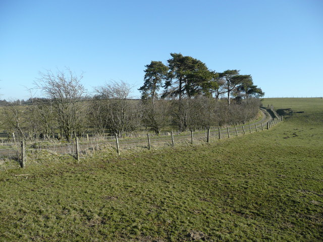
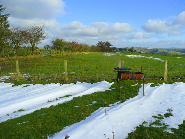
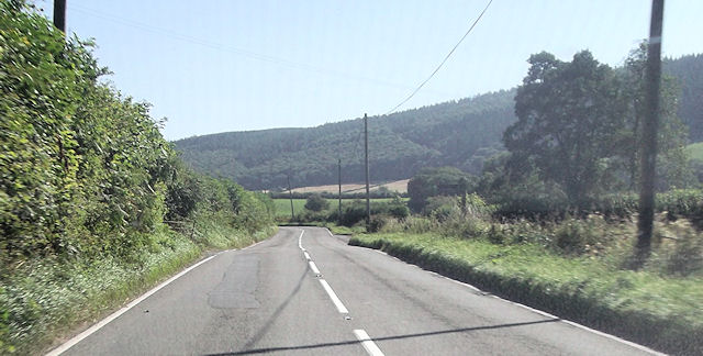
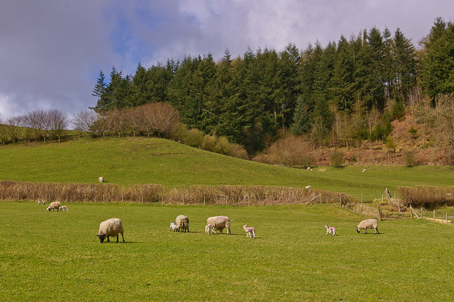
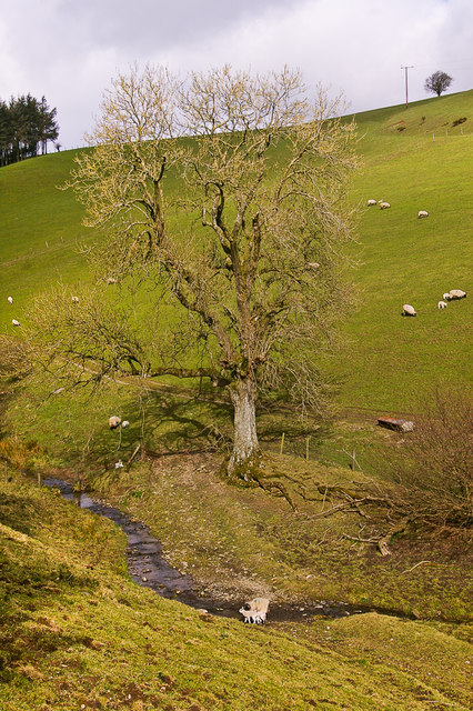
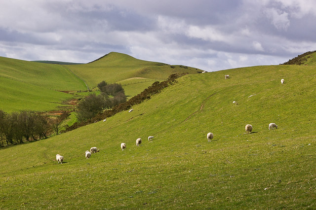
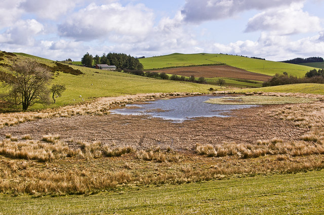
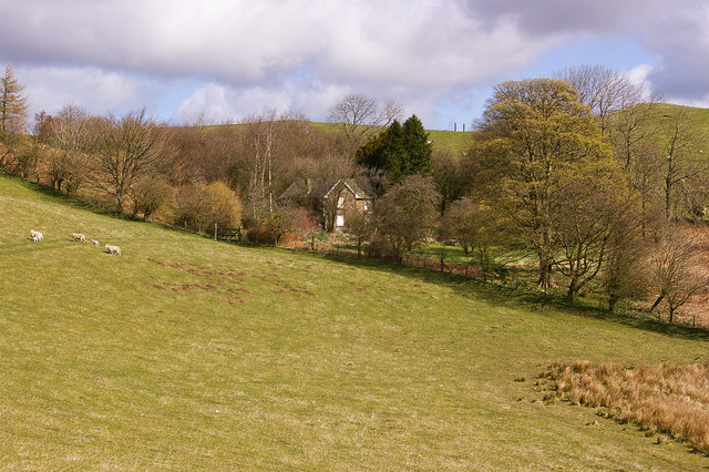
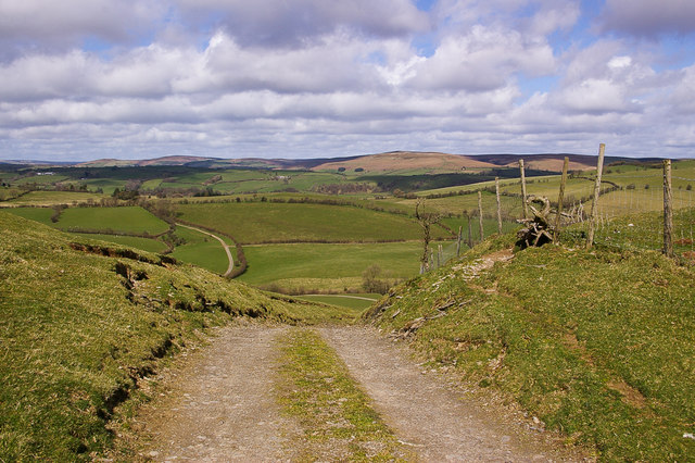
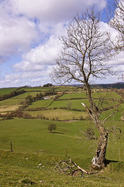
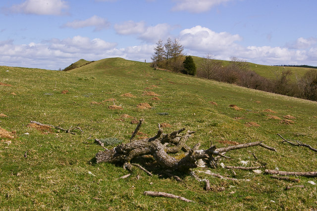
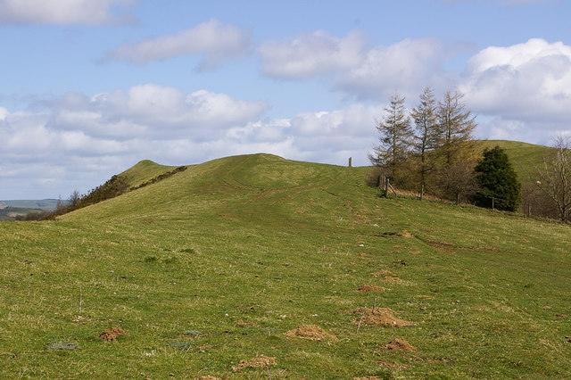
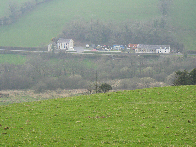
Ireland Plantation, located in Radnorshire, is a picturesque woodland area in the heart of Wales. Covering an expansive area, it is known for its rich biodiversity and stunning natural beauty. The plantation is a mix of native and exotic tree species, creating a diverse and vibrant forest ecosystem.
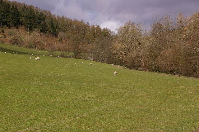
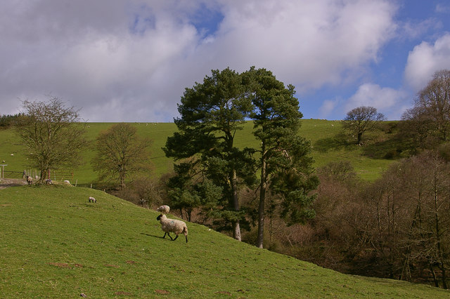
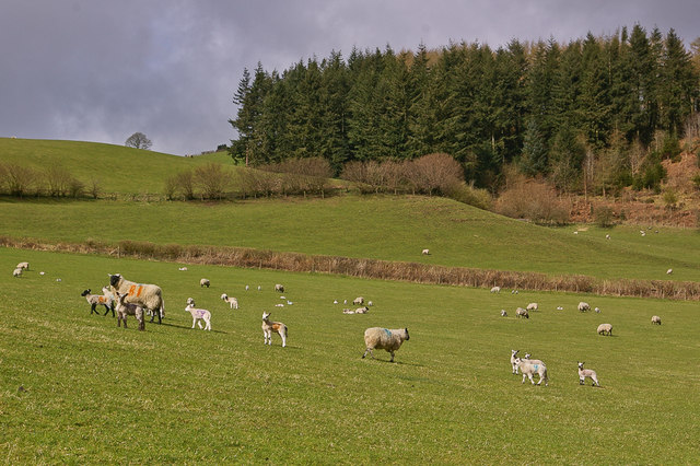
The woodland is home to a wide range of wildlife, including various bird species, mammals, and insects. Visitors can often spot red squirrels, foxes, and a variety of woodland birds while exploring the trails that wind through the plantation.
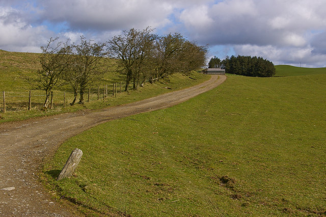
Ireland Plantation offers a peaceful and tranquil environment, making it a popular destination for nature lovers and outdoor enthusiasts. The well-maintained walking trails provide opportunities for leisurely strolls, jogging, and cycling. The forest also offers picnic areas, allowing visitors to relax and enjoy the scenic surroundings.
The plantation is managed sustainably, with efforts made to preserve the natural habitat and protect the wildlife. Conservation initiatives are in place to ensure the long-term health and vitality of the woodland.
In addition to its natural beauty, Ireland Plantation has historical significance. It is believed that the area has been wooded for centuries and has provided timber for local communities throughout history. The plantation is a living testament to the rich cultural and environmental heritage of Radnorshire.
Overall, Ireland Plantation in Radnorshire is a thriving woodland oasis, offering visitors a chance to reconnect with nature and experience the beauty of the Welsh countryside.
If you have any feedback on the listing, please let us know in the comments section below.
Ireland Plantation Images
Images are sourced within 2km of 52.312018/-3.1783833 or Grid Reference SO1968. Thanks to Geograph Open Source API. All images are credited.
Ireland Plantation is located at Grid Ref: SO1968 (Lat: 52.312018, Lng: -3.1783833)
Unitary Authority: Powys
Police Authority: Dyfed Powys
What 3 Words
///talent.amps.talker. Near Whitton, Powys
Nearby Locations
Related Wikis

Bleddfa
Bleddfa is a village in which lies on the road from Knighton to Penybont and is located in the community of Llangunllo, Powys, Wales. It is 5 miles from...

Bleddfa Castle
Bleddfa Castle (sometimes referred to as Bledeach or Bledvach Castle) was a motte and bailey structure near Llangunllo in modern-day Powys, Wales. It...

Llangunllo
Llangunllo (sometimes Llangynllo) is a village and community in central Powys (formerly in Radnorshire), Wales, located about 5 miles west of Knighton...

Llanbister Road railway station
Llanbister Road railway station is a countryside stop about 5 miles (8 km) from the village of Llanbister, Powys, Wales. The station is 41+3⁄4 miles (67...

Llangynllo railway station
Llangynllo railway station is a countryside stop in Powys about 5 miles west of Knighton, on the Heart of Wales Line. The station is located 1.4 miles...
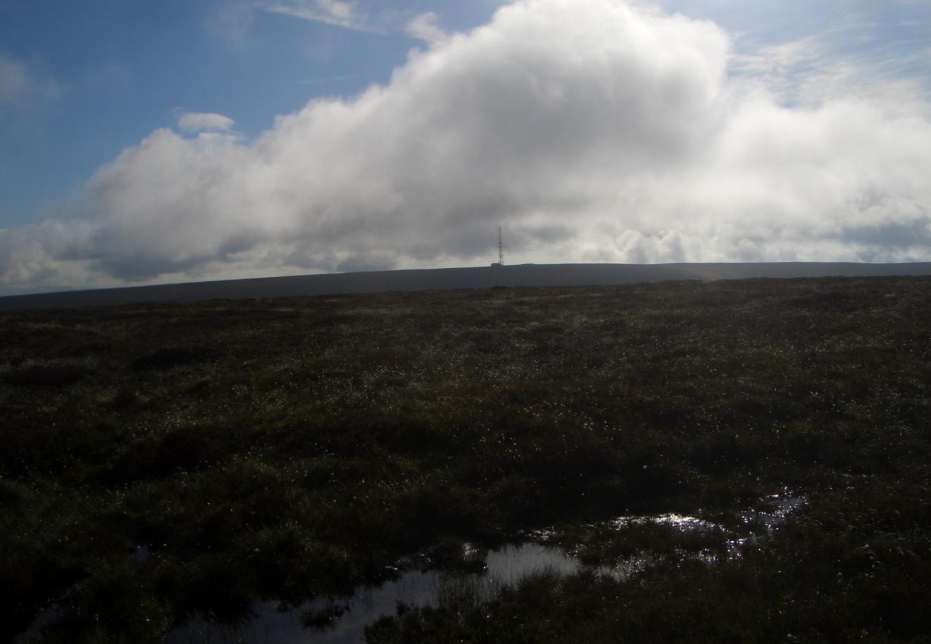
Black Mixen
Black Mixen (Welsh: Y Domen Ddu) is a subsidiary summit of Rhos Fawr or Great Rhos in the Radnor Forest. The summit is large peat bog plateau. The summit...
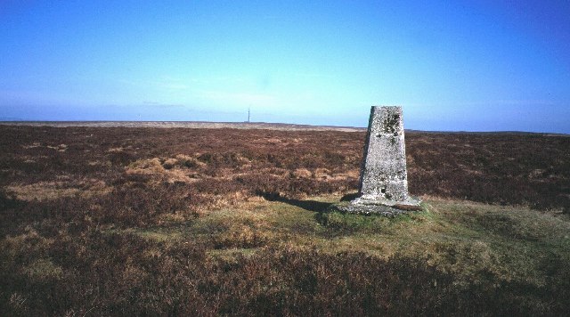
Radnor Forest
Radnor Forest (Welsh: Fforest Clud) is a rock dome composed of Silurian shales, mudstones and limestone in the historic county of Radnorshire, Powys, Mid...
Llanfihangel Rhydithon
Llanfihangel Rhydithon is a community in the county of Powys, (Radnorshire) Wales, and is 56.1 miles (90.3 km) from Cardiff and 143.5 miles (231.0 km)...
Have you been to Ireland Plantation?
Leave your review of Ireland Plantation below (or comments, questions and feedback).