Rabbit Wood

Wood, Forest in Montgomeryshire

Wales

Rabbit Wood

Old tree trunks at Lower Luggy farm Impressive tree trunk remnants. For scale, the trunk is maybe 6 ft high.
Old tree trunks at Lower Luggy farm Credit: Jeremy Bolwell

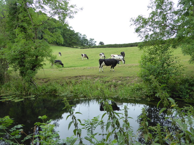
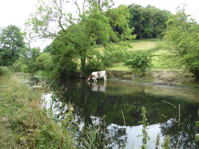
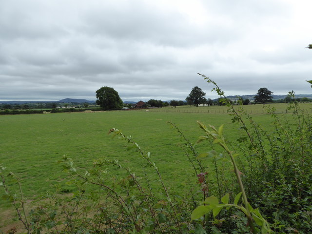
Rabbit Wood is a picturesque forest located in Montgomeryshire, Wales. Covering an area of approximately 100 acres, this woodland offers a serene and enchanting escape from the bustling city life. The wood is predominantly composed of native deciduous trees such as oak, beech, and birch, creating a rich and diverse ecosystem.

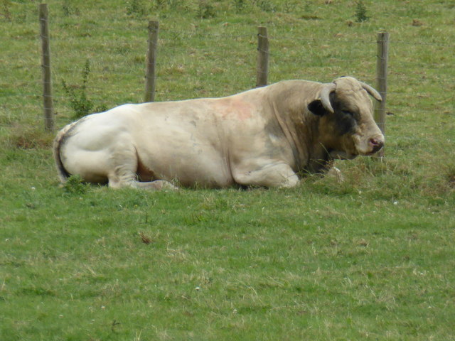
The forest is known for its abundant wildlife and is home to a variety of mammals, birds, and insects. Visitors may spot grey squirrels, foxes, and badgers roaming freely amidst the towering trees. The wood also attracts a wide range of bird species including woodpeckers, owls, and various songbirds, making it a haven for birdwatching enthusiasts.

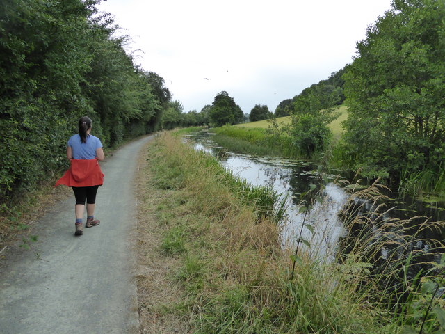
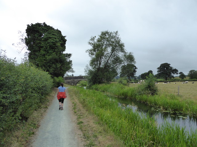
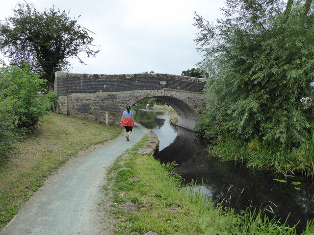
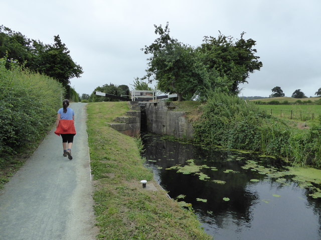
Rabbit Wood provides numerous recreational opportunities for nature lovers and outdoor enthusiasts. There are several well-maintained footpaths that wind through the forest, allowing visitors to explore its tranquil beauty. These paths are suitable for both leisurely walks and more adventurous hikes.

Furthermore, the wood offers a number of picnic areas and benches scattered throughout, providing the perfect setting for a peaceful lunch amidst nature's splendor. The dense foliage and the soothing sound of birdsong create a calming atmosphere, making it an ideal spot for relaxation and meditation.

Overall, Rabbit Wood in Montgomeryshire is a truly magical place that showcases the natural beauty and biodiversity of the region. Whether it's a leisurely stroll, birdwatching, or a family picnic, this enchanting woodland has something to offer for everyone seeking a connection with nature.

If you have any feedback on the listing, please let us know in the comments section below.
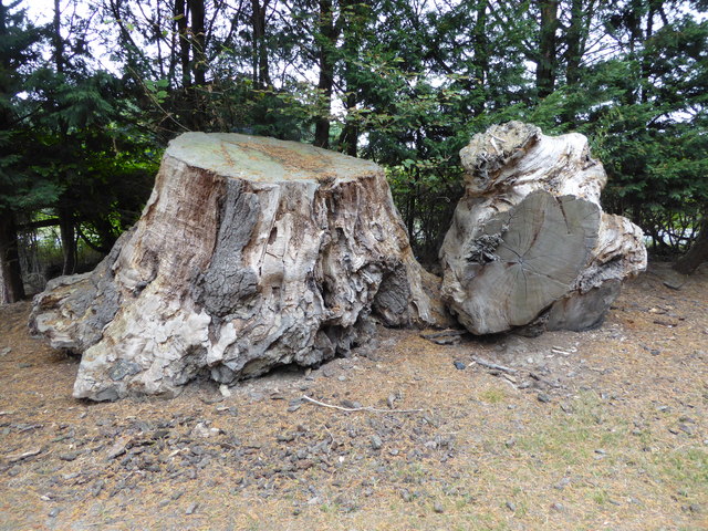
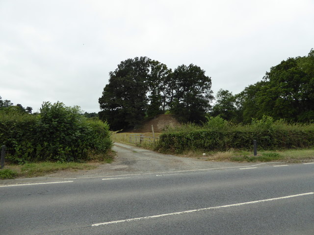
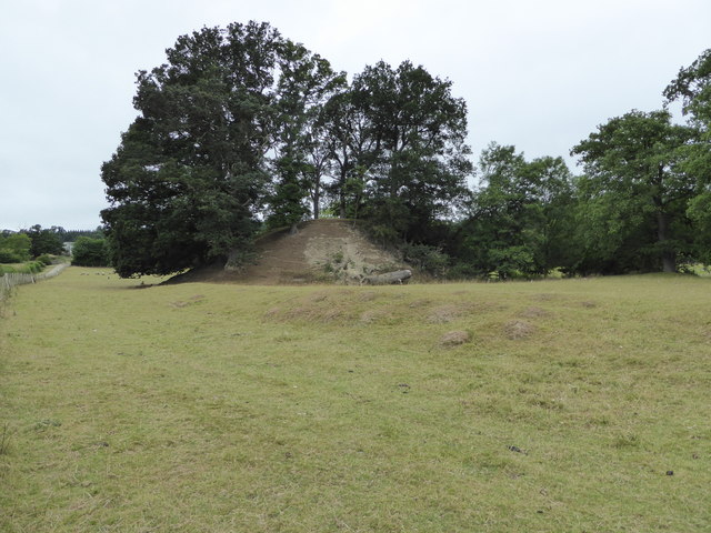
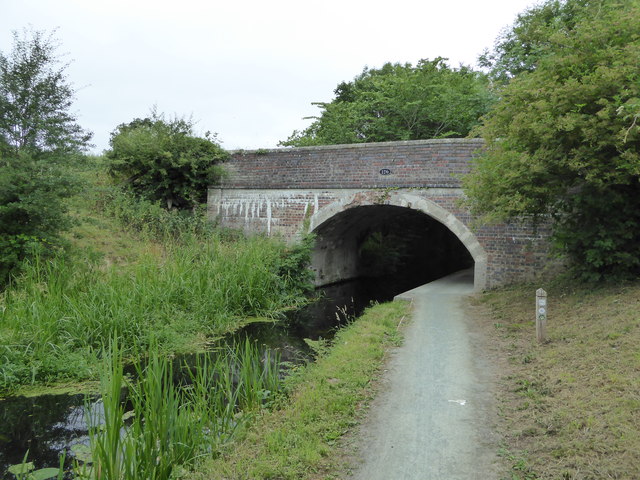
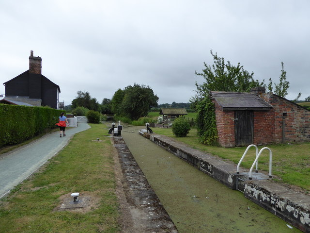
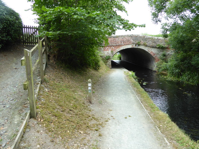
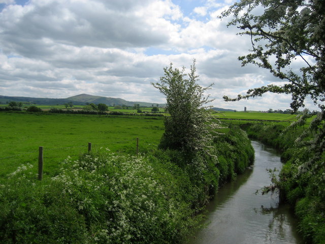
Rabbit Wood Images

Images are sourced within 2km of 52.615618/-3.186373 or Grid Reference SJ1902. Thanks to Geograph Open Source API. All images are credited.

Old tree trunks at Lower Luggy farm Impressive tree trunk remnants. For scale, the trunk is maybe 6 ft high.
Old tree trunks at Lower Luggy farm
Impressive tree trunk remnants. For scale, the trunk is maybe 6 ft high.
Old castle motte beside the road Called Upper Luggy castle motte I believe, <span class="nowrap"><a title="http://www.coflein.gov.uk/en/site/306761/details/upper-luggy-castle" rel="nofollow ugc noopener" href="http://www.coflein.gov.uk/en/site/306761/details/upper-luggy-castle">Link</a><img style="margin-left:2px;" alt="External link" title="External link - shift click to open in new window" src="https://s1.geograph.org.uk/img/external.png" width="10" height="10"/></span> here.
Old castle motte beside the road
Called Upper Luggy castle motte I believe, LinkExternal link here.
Upper Luggy castle motte <span class="nowrap"><a title="http://www.coflein.gov.uk/en/site/306761/details/upper-luggy-castle" rel="nofollow ugc noopener" href="http://www.coflein.gov.uk/en/site/306761/details/upper-luggy-castle">Link</a><img style="margin-left:2px;" alt="External link" title="External link - shift click to open in new window" src="https://s1.geograph.org.uk/img/external.png" width="10" height="10"/></span> here.
Upper Luggy castle motte
LinkExternal link here.
Canal bridge 126 on the Montgomery Canal Lovely bridge here on the Monty.
Canal bridge 126 on the Montgomery Canal
Lovely bridge here on the Monty.
Cow beside the Montgomery Canal This was one relaxed and contented bovine.
Cow beside the Montgomery Canal
This was one relaxed and contented bovine.
Part of the Montgomeryshire Canal near Berriew Cattle graze and drink here on a July day.
Part of the Montgomeryshire Canal near Berriew
Cattle graze and drink here on a July day.
On the towpath of the Monty near Berriew Canal walks are always good but this section is very scenic and pleasant.
On the towpath of the Monty near Berriew
Canal walks are always good but this section is very scenic and pleasant.
View across fields from the Montgomeryshire Canal View towards distant Corndon Hill. There is also a bull dozing on its own in the field nearby.
View across fields from the Montgomeryshire Canal
View towards distant Corndon Hill. There is also a bull dozing on its own in the field nearby.
Bull dozing beside the Montgomeryshire Canal This impressive fellow seems to have his day well planned.
Bull dozing beside the Montgomeryshire Canal
This impressive fellow seems to have his day well planned.
Walking the towpath of the Montgomeryshire Canal Lovely walking.
Walking the towpath of the Montgomeryshire Canal
Lovely walking.
Walking the towpath of the Montgomeryshire Canal A canal designed by an artist I'm sure.
Walking the towpath of the Montgomeryshire Canal
A canal designed by an artist I'm sure.
Walking the towpath of the Montgomeryshire Canal at Berriew Lock Great walking and plenty of heritage and history.
Walking the towpath of the Montgomeryshire Canal at Berriew Lock
Great walking and plenty of heritage and history.
Beside the Montgomeryshire Canal near Berriew Lovely old lock here, with Lock-keeper's cottage.
Beside the Montgomeryshire Canal near Berriew
Lovely old lock here, with Lock-keeper's cottage.
Bridge over the Montgomeryshire Canal near Berriew With some graffiti of the Free Wales Army I think.
Bridge over the Montgomeryshire Canal near Berriew
With some graffiti of the Free Wales Army I think.
Workshop beside the canal near Berriew A blacksmith's I believe.
Workshop beside the canal near Berriew
A blacksmith's I believe.
Swan and cygnets on The Monty near Berriew Lovely little family. Dad was a bit further along doing Dad stuff.
Swan and cygnets on The Monty near Berriew
Lovely little family. Dad was a bit further along doing Dad stuff.
A483 near to Berriew The A483 is a major north-south trunk road in Wales, running for 149 miles between Chester and Junction 42 of the M4 motorway just east of Swansea.
<span class="nowrap"><a title="http://www.sabre-roads.org.uk/wiki/index.php?title=A483" rel="nofollow ugc noopener" href="http://www.sabre-roads.org.uk/wiki/index.php?title=A483">Link</a><img style="margin-left:2px;" alt="External link" title="External link - shift click to open in new window" src="https://s1.geograph.org.uk/img/external.png" width="10" height="10"/></span>  SABRE
<span class="nowrap"><a title="https://en.wikipedia.org/wiki/A483_road" rel="nofollow ugc noopener" href="https://en.wikipedia.org/wiki/A483_road">Link</a><img style="margin-left:2px;" alt="External link" title="External link - shift click to open in new window" src="https://s1.geograph.org.uk/img/external.png" width="10" height="10"/></span>  Wikipedia
A483 near to Berriew
The A483 is a major north-south trunk road in Wales, running for 149 miles between Chester and Junction 42 of the M4 motorway just east of Swansea. LinkExternal link SABRE LinkExternal link Wikipedia
Old Milestone by the A483, south of Lower Luggy Broken milestone by the A483, in parish of Berriew (Powys District), South of Lower Luggy, on verge. Probably lost.

Inscription once read:- : (Newtown 9½) : : (Welshpool 4) : 

Surveyed

Milestone Society National ID: MOT_WPNT04.
Old Milestone by the A483, south of Lower Luggy
Broken milestone by the A483, in parish of Berriew (Powys District), South of Lower Luggy, on verge. Probably lost. Inscription once read:- : (Newtown 9½) : : (Welshpool 4) : Surveyed Milestone Society National ID: MOT_WPNT04.
Show me another place!

Rabbit Wood is located at Grid Ref: SJ1902 (Lat: 52.615618, Lng: -3.186373)

Unitary Authority: Powys

Police Authority: Dyfed Powys

What 3 Words

///burden.shorter.fled. Near Welshpool, Powys

Related Wikis

Brithdir, Powys

Brithdir is an area in the community of Berriew, Powys, Wales, which is 78 miles (126 km) from Cardiff and 151 miles (243 km) from London. It lies to the...

Belan, Powys

Belan is a hamlet, 3.5 miles (5.6 km) southwest of Welshpool, in Powys, Wales. It belongs to the community of Welshpool. The Belan Locks, built around...

St Beuno's Church, Berriew

St Beuno’s Church is the parish church of Berriew, in the historic county of Montgomeryshire, now Powys. The church stands in an almost oval churchyard...

Berriew F.C.

Berriew Football Club is a Welsh football team based in Berriew. They played in the Ardal Leagues North East, which is in the third level of the Welsh...

River Camlad

The River Camlad (or just Camlad) is a minor river in Powys and Shropshire. It forms part of the border between Wales and England in places, before flowing...

Berriew

Berriew (Welsh: Aberriw) is a village and community in Montgomeryshire, Powys, Wales. It is on the Montgomeryshire Canal and the Afon Rhiw, near the confluence...

Welshpool Airport

Welshpool Airport (ICAO: EGCW) (Welsh: Maes Awyr y Trallwng; also known as Mid-Wales Airport) is located 2 NM (3.7 km; 2.3 mi) south of Welshpool, Powys...

Forden railway station

Forden railway station was a station in Forden, Powys, Wales. The station was opened on 10 June 1861 by the Oswestry and Newtown Railway on the section...

Nearby Amenities

Located within 500m of 52.615618,-3.186373
Brithdir Lock
Height: 2.74
Seamark Type: gate
Waterway: lock_gate
Lat/Long: 52.6129846/-3.1828344
Brithdir Turning Point
Maxlength: 70Ft
Waterway: Turning_point
Lat/Long: 52.6126031/-3.1842035
Brithdir Lock
Height: 2.74
Seamark Type: gate
Waterway: lock_gate
Lat/Long: 52.6128501/-3.1832327
Place: farm
Lat/Long: 52.6138197/-3.1899456
Place: farm
Lat/Long: 52.6116439/-3.1879286
Place: farm
Lat/Long: 52.6179236/-3.1870274
Direction: SSW
Generator Method: photovoltaic
Generator Output Electricity: yes
Generator Solar Modules: 20
Generator Source: solar
Generator Type: solar_photovoltaic_panel
Location: roof
Power: generator
Lat/Long: 52.6115631/-3.1837848
The data included in this document is from www.openstreetmap.org. The data is made available under ODbL.

Have you been to Rabbit Wood?

Leave your review of Rabbit Wood below (or comments, questions and feedback).