Allt Lower

Wood, Forest in Montgomeryshire

Wales

Allt Lower

St Beuno, Berriew. Powys An unusual Lime tree avenue at St Beuno's Church.
St Beuno, Berriew. Powys Credit: paul wood

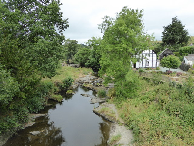
Allt Lower is a small woodland area located in Montgomeryshire, Wales. Situated in the picturesque countryside, it covers an area of approximately 50 acres. The woodland is predominantly composed of native tree species, such as oak, birch, and beech, which create a diverse and vibrant ecosystem.

The woodland is a haven for wildlife, providing a habitat for a wide range of species. Birdwatchers can spot various birds, including woodpeckers, owls, and finches, while nature enthusiasts may come across small mammals like squirrels, rabbits, and foxes. The rich undergrowth supports a variety of plants and wildflowers, adding to the natural beauty of the area.

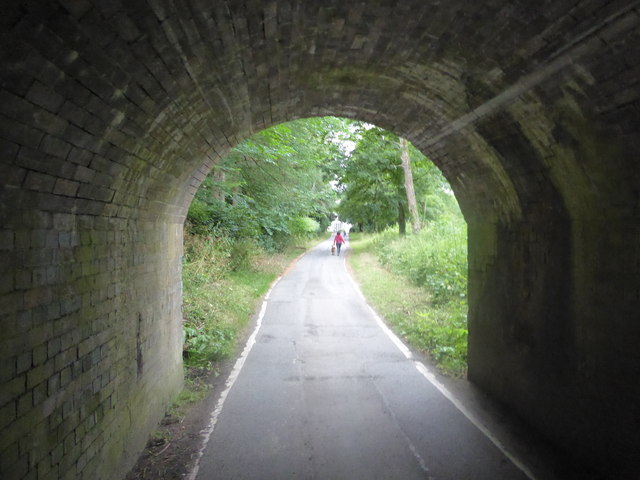
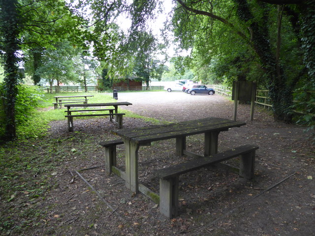
Visitors to Allt Lower can enjoy a peaceful and tranquil environment, perfect for walking, hiking, or simply appreciating nature. The woodland is crisscrossed with well-maintained footpaths, allowing visitors to explore its hidden corners and discover its hidden gems. The paths wind through the trees, offering glimpses of sunlight filtering through the leaves and creating a magical atmosphere.

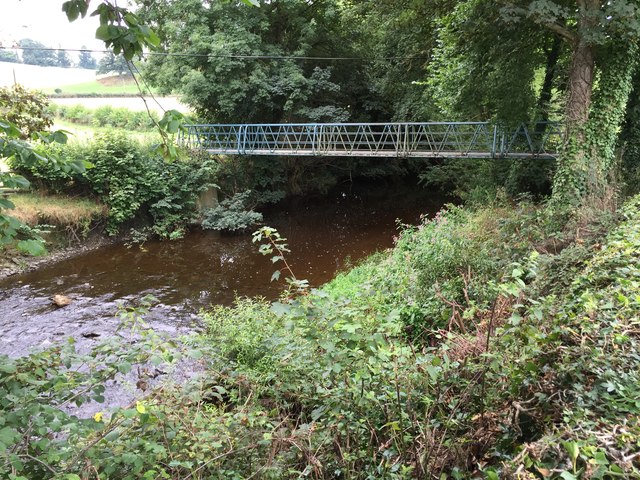
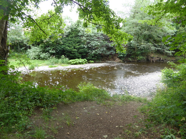
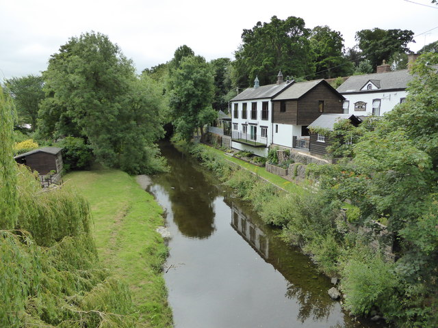
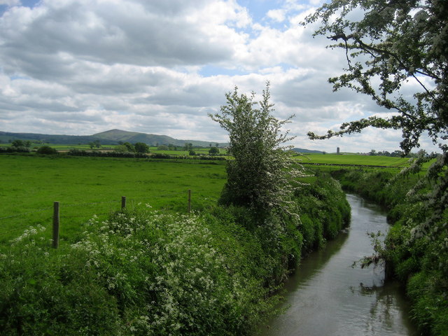
Allt Lower is also home to a small stream that meanders through the woodland, adding to its charm and providing a source of water for the local flora and fauna. The stream offers visitors the opportunity to relax by its banks and listen to the soothing sound of running water.

Overall, Allt Lower is a delightful woodland retreat, offering nature lovers and outdoor enthusiasts a chance to immerse themselves in its beauty. With its diverse ecosystem, well-marked paths, and peaceful atmosphere, it is a place where visitors can reconnect with nature and escape the hustle and bustle of everyday life.

If you have any feedback on the listing, please let us know in the comments section below.
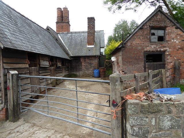
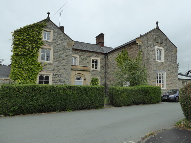
Allt Lower Images

Images are sourced within 2km of 52.610137/-3.1833745 or Grid Reference SJ1902. Thanks to Geograph Open Source API. All images are credited.

St Beuno, Berriew. Powys An unusual Lime tree avenue at St Beuno's Church.
St Beuno, Berriew. Powys
An unusual Lime tree avenue at St Beuno's Church.
The Talbot Hotel The Talbot Hotel, Berriew.
The Talbot Hotel
The Talbot Hotel, Berriew.
River View View across the river Rhiw at Berriew.
River View
View across the river Rhiw at Berriew.
Timbered House An attractive timbered house at Berriew.
Timbered House
An attractive timbered house at Berriew.
St. Beuno's Church Church of St. Beuno, Berriew.
St. Beuno's Church
Church of St. Beuno, Berriew.
Footbridge over the Rhiw An old footbridge spanning the river Rhiw.
Footbridge over the Rhiw
An old footbridge spanning the river Rhiw.
The Old Mill The Old Mill, Berriew.
The Old Mill
The Old Mill, Berriew.
Canal Bridge Canal bridge over the Rhiw at Berriew.
Canal Bridge
Canal bridge over the Rhiw at Berriew.
Under the Montgomeryshire Canal at Berriew Just one of many scenes in this picturesque village that is so well worth exploring.
Under the Montgomeryshire Canal at Berriew
Just one of many scenes in this picturesque village that is so well worth exploring.
Car park and picnic tables in Berriew below the canal aqueduct A great amenity here for visitors to this lovely village, though the picnic tables, having been sited under overhanging mature trees, are a little neglected and would benefit from some attention.
Car park and picnic tables in Berriew below the canal aqueduct
A great amenity here for visitors to this lovely village, though the picnic tables, having been sited under overhanging mature trees, are a little neglected and would benefit from some attention.
Part of the Afon Rhiw at Berriew Lovely little river. I was looking out for Kingfishers but didn't spot any.
Part of the Afon Rhiw at Berriew
Lovely little river. I was looking out for Kingfishers but didn't spot any.
The Talbot Hotel & Restaurant at Berriew Lovely village pub, hotel and eatery.
The Talbot Hotel & Restaurant at Berriew
Lovely village pub, hotel and eatery.
Part of the Afon Rhiw at Berriew Bridge What a lovely river, well worth a walk and explore.
Part of the Afon Rhiw at Berriew Bridge
What a lovely river, well worth a walk and explore.
Part of the Afon Rhiw below Berriew Bridge
Part of Berriew village What a picturesque village this is.
Part of Berriew village
What a picturesque village this is.
View to St. Beuno's church in Berriew <span class="nowrap"><a title="https://en.wikipedia.org/wiki/St_Beuno%27s_Church,_Berriew" rel="nofollow ugc noopener" href="https://en.wikipedia.org/wiki/St_Beuno%27s_Church,_Berriew">Link</a><img style="margin-left:2px;" alt="External link" title="External link - shift click to open in new window" src="https://s1.geograph.org.uk/img/external.png" width="10" height="10"/></span> here.
View to St. Beuno's church in Berriew
LinkExternal link here.
Stable block at Berriew Lovely old stables here.
Stable block at Berriew
Lovely old stables here.
Old school house building in Berriew Lovely historic building in this village of fine buildings.
Old school house building in Berriew
Lovely historic building in this village of fine buildings.
Show me another place!

Allt Lower is located at Grid Ref: SJ1902 (Lat: 52.610137, Lng: -3.1833745)

Unitary Authority: Powys

Police Authority: Dyfed Powys

What 3 Words

///rapid.constrain.scarred. Near Welshpool, Powys

Related Wikis

Brithdir, Powys

Brithdir is an area in the community of Berriew, Powys, Wales, which is 78 miles (126 km) from Cardiff and 151 miles (243 km) from London. It lies to the...

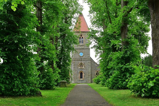
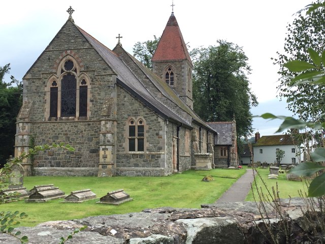
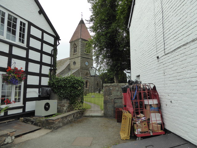
St Beuno's Church, Berriew

St Beuno’s Church is the parish church of Berriew, in the historic county of Montgomeryshire, now Powys. The church stands in an almost oval churchyard...
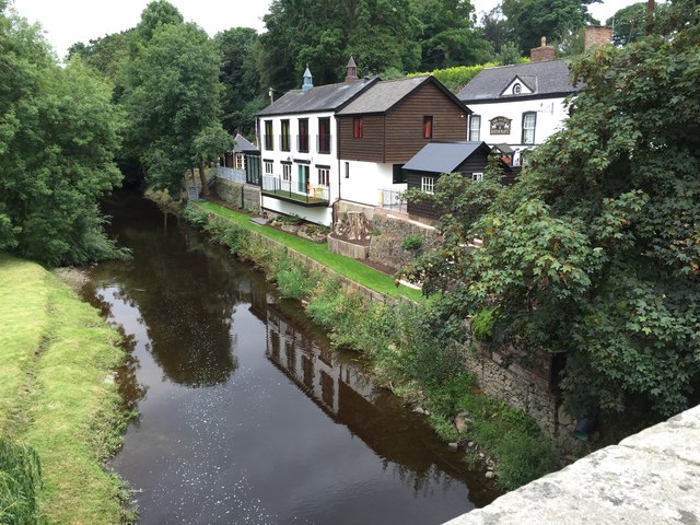
River Camlad

The River Camlad (or just Camlad) is a minor river in Powys and Shropshire. It forms part of the border between Wales and England in places, before flowing...

Berriew F.C.

Berriew Football Club is a Welsh football team based in Berriew. They played in the Ardal Leagues North East, which is in the third level of the Welsh...
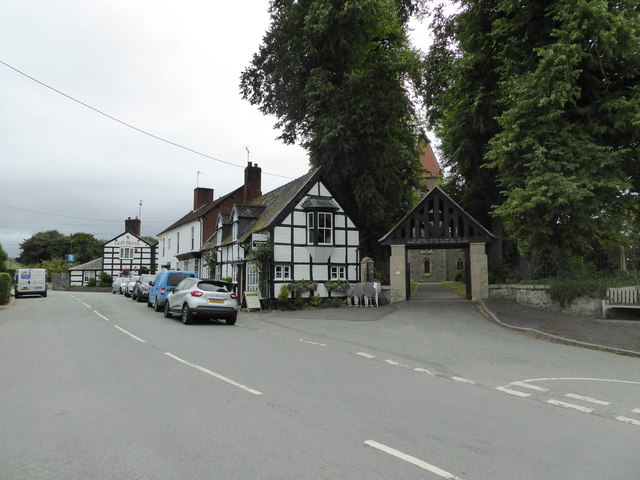
Berriew

Berriew (Welsh: Aberriw) is a village and community in Montgomeryshire, Powys, Wales. It is on the Montgomeryshire Canal and the Afon Rhiw, near the confluence...

Belan, Powys

Belan is a hamlet, 3.5 miles (5.6 km) southwest of Welshpool, in Powys, Wales. It belongs to the community of Welshpool. The Belan Locks, built around...

Forden railway station

Forden railway station was a station in Forden, Powys, Wales. The station was opened on 10 June 1861 by the Oswestry and Newtown Railway on the section...

Forden

Forden (Welsh: Ffordun) is a village near Welshpool in Powys, Wales, formerly in the historic county of Montgomeryshire. It forms part of the community...

Nearby Amenities

Located within 500m of 52.610137,-3.1833745
Brithdir Lock
Height: 2.74
Seamark Type: gate
Waterway: lock_gate
Lat/Long: 52.6129846/-3.1828344
Brithdir Turning Point
Maxlength: 70Ft
Waterway: Turning_point
Lat/Long: 52.6126031/-3.1842035
Power: pole
Lat/Long: 52.6098986/-3.1761484
Brithdir Lock
Height: 2.74
Seamark Type: gate
Waterway: lock_gate
Lat/Long: 52.6128501/-3.1832327
Place: farm
Lat/Long: 52.6116439/-3.1879286
Direction: SSW
Generator Method: photovoltaic
Generator Output Electricity: yes
Generator Solar Modules: 20
Generator Source: solar
Generator Type: solar_photovoltaic_panel
Location: roof
Power: generator
Lat/Long: 52.6115631/-3.1837848
Direction: 190
Generator Method: photovoltaic
Generator Output Electricity: yes
Generator Solar Modules: 17
Generator Source: solar
Generator Type: solar_photovoltaic_panel
Location: roof
Power: generator
Lat/Long: 52.6084237/-3.1854638
The data included in this document is from www.openstreetmap.org. The data is made available under ODbL.

Have you been to Allt Lower?

Leave your review of Allt Lower below (or comments, questions and feedback).