Fishpools

Settlement in Radnorshire

Wales

Fishpools

The Hundred mph House at Bledda
The Hundred mph House at Bledda Credit: Row17

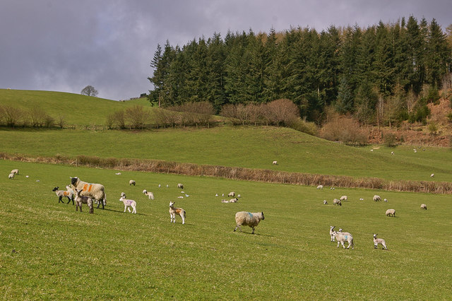
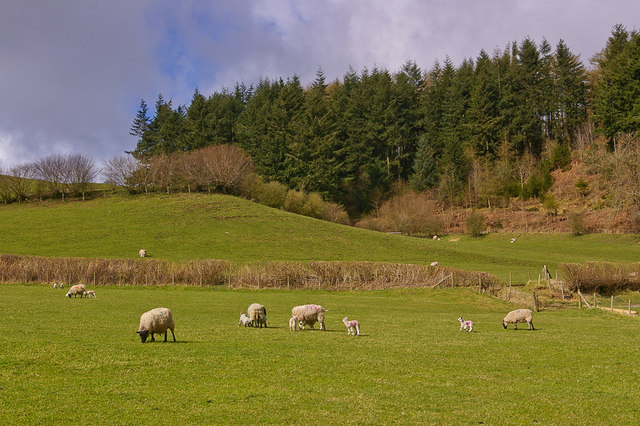
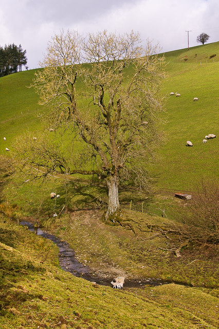
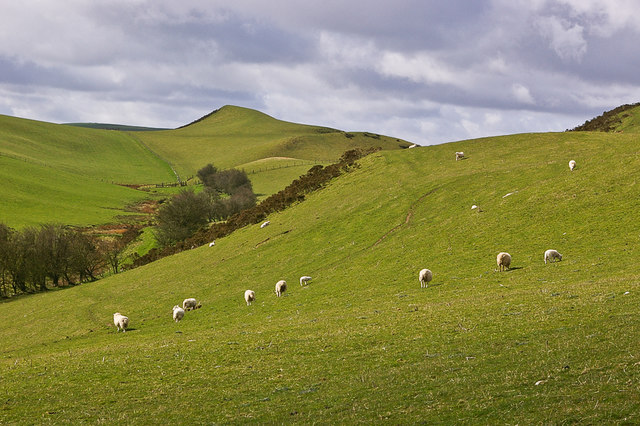
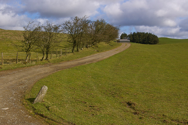
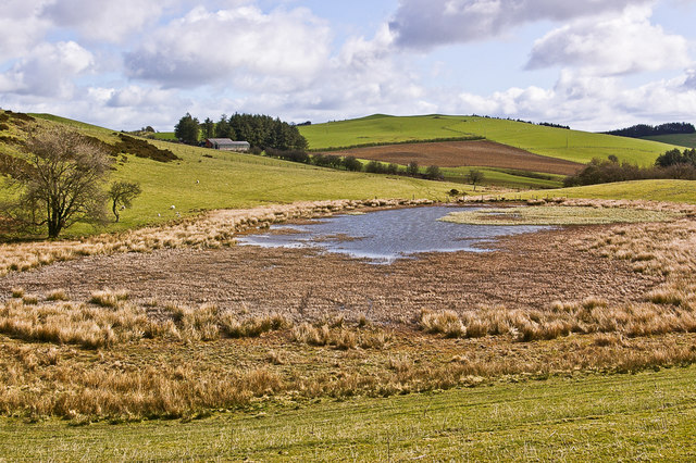
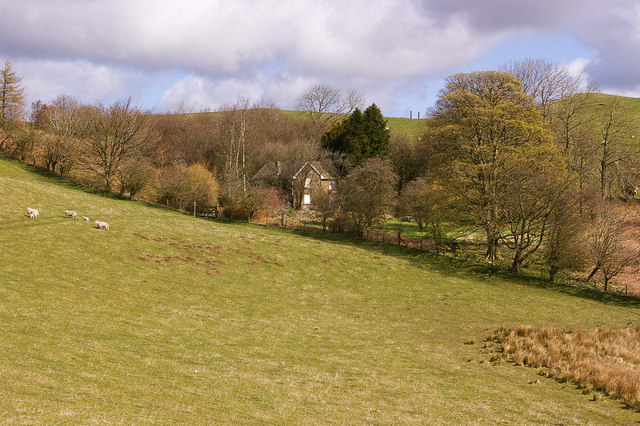
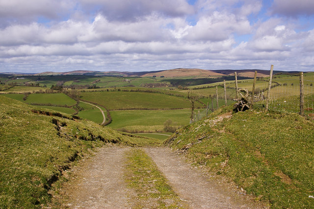
Fishpools is a small village located in the county of Radnorshire, Wales. Situated in the heart of the picturesque Wye Valley, it is known for its serene natural beauty and charming rural atmosphere. The village lies about 10 miles south of the town of Presteigne and is nestled between the rolling hills and meandering rivers that characterise the area.

With a population of just over 100 residents, Fishpools offers a tranquil and close-knit community. The village is dotted with traditional stone cottages, giving it a quintessentially Welsh feel. The surrounding countryside provides ample opportunities for outdoor activities such as hiking, fishing, and birdwatching, attracting nature enthusiasts from far and wide.

Although small in size, Fishpools has a rich history dating back centuries. The village is home to St. Mary's Church, a historic place of worship that showcases stunning medieval architecture. The area also boasts a number of ancient archaeological sites, including cairns and burial mounds, providing insight into the village's past.

Despite its rural setting, Fishpools is not far from amenities. The nearby town of Presteigne offers a range of shops, restaurants, and services, ensuring that residents have access to all necessary conveniences. Furthermore, the village benefits from good transportation links, making it easily accessible to visitors and commuters alike.

In conclusion, Fishpools is a charming and idyllic village in Radnorshire, Wales, offering a peaceful retreat in a scenic countryside setting. With its rich history, beautiful landscapes, and strong sense of community, Fishpools is a hidden gem for those seeking a tranquil escape from the hustle and bustle of modern life.

If you have any feedback on the listing, please let us know in the comments section below.
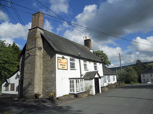
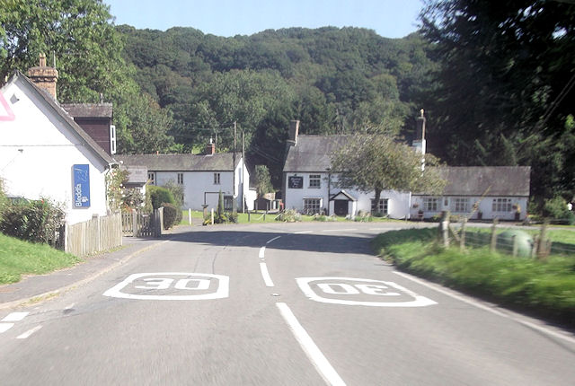
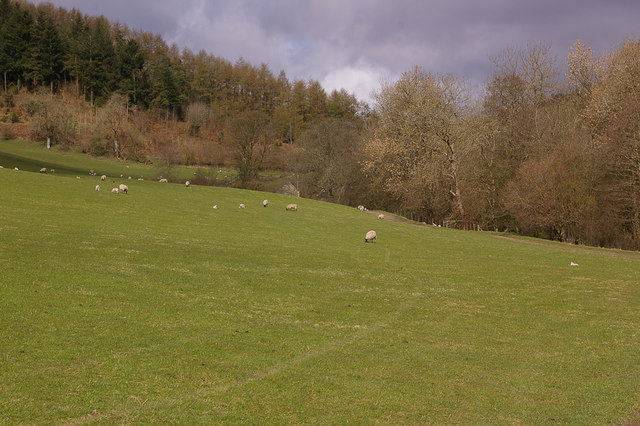
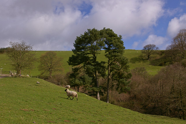
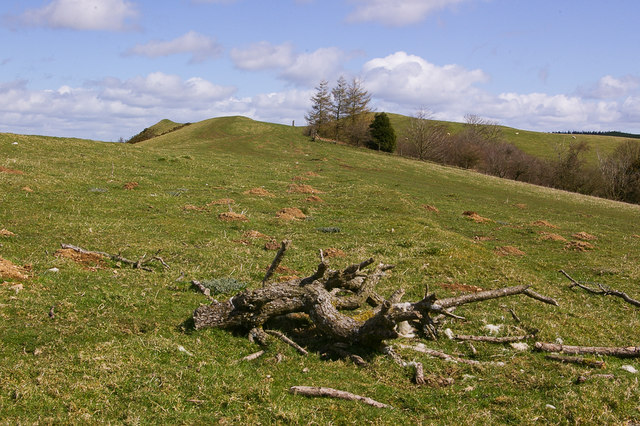
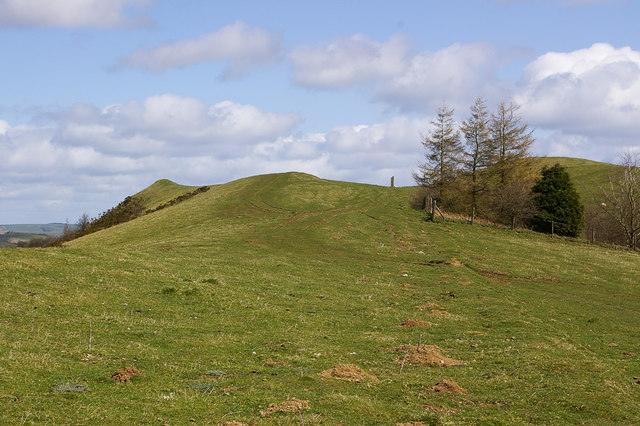
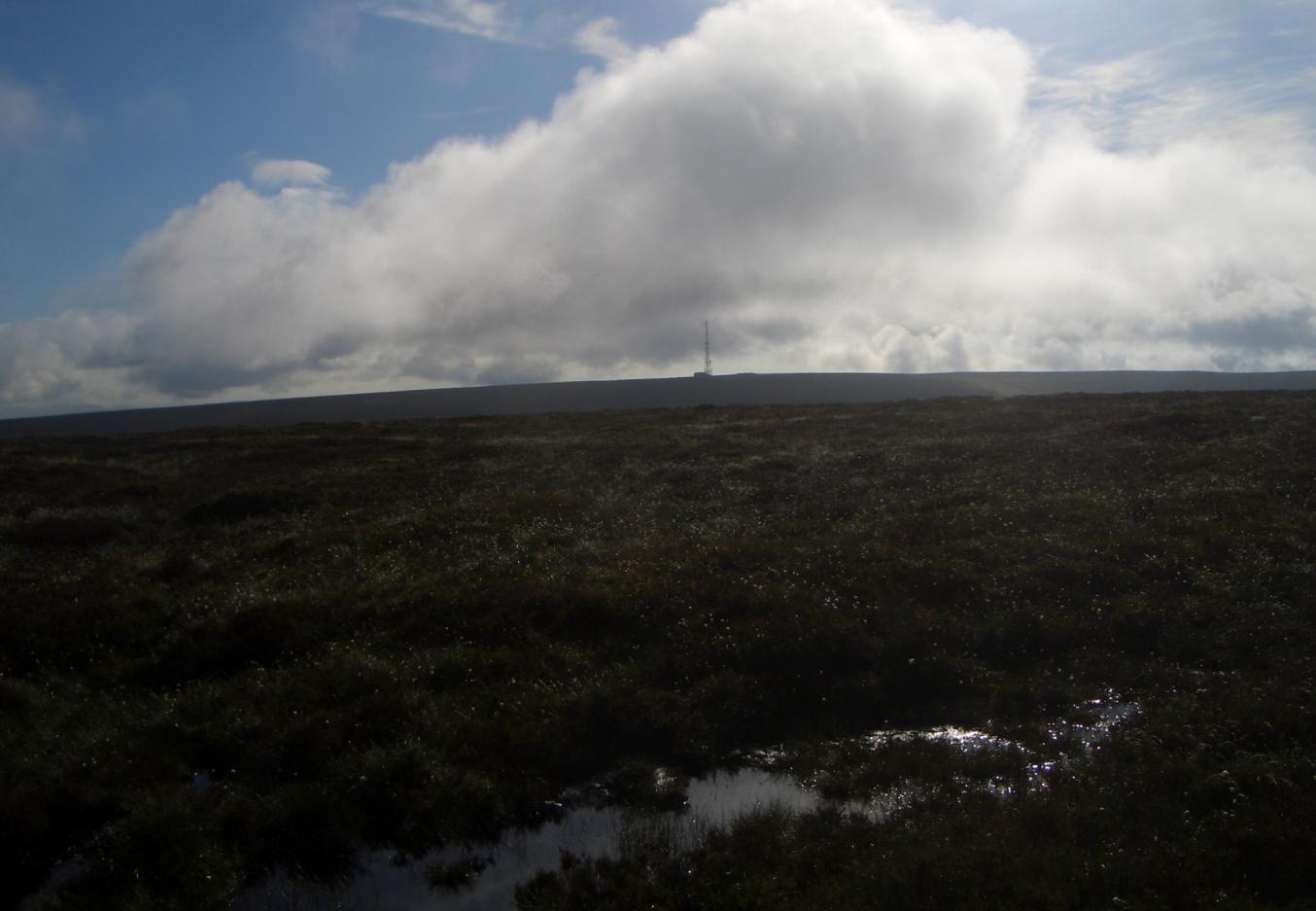
Fishpools Images

Images are sourced within 2km of 52.304122/-3.1893641 or Grid Reference SO1968. Thanks to Geograph Open Source API. All images are credited.

The Hundred mph House at Bledda
Bleddfa on A488
Bleddfa on A488
Towards Blaen-y-plwf Looking towards Blaen-y-plwf, the cottage in the background.  The track is part of the bridleway (on this section a "byway open to all traffic") running from Bleddfa to Cwm-y-gaist.
Towards Blaen-y-plwf
Looking towards Blaen-y-plwf, the cottage in the background. The track is part of the bridleway (on this section a "byway open to all traffic") running from Bleddfa to Cwm-y-gaist.
Scots Pines A pair of Scots Pines near Blaen-y-plwf by the bridleway (on this section a "byway open to all traffic") running from Bleddfa to Cwm-y-gaist.  The presence of these trees suggests that this was once a drovers' route.
Scots Pines
A pair of Scots Pines near Blaen-y-plwf by the bridleway (on this section a "byway open to all traffic") running from Bleddfa to Cwm-y-gaist. The presence of these trees suggests that this was once a drovers' route.
Near Blaen-y-plwf Sheep in a field near Blaen-y-plwf.
Near Blaen-y-plwf
Sheep in a field near Blaen-y-plwf.
Near Blaen-y-plwf Sheep in a field near Blaen-y-plwf.
Near Blaen-y-plwf
Sheep in a field near Blaen-y-plwf.
Ford Ford on a small stream near Blaen-y-plwyf.
Ford
Ford on a small stream near Blaen-y-plwyf.
South of St Michael's Pool Sheep grazing south of St Michael's Pool.
South of St Michael's Pool
Sheep grazing south of St Michael's Pool.
Track to farm building Track to a farm building east of St Michael's Pool.
Track to farm building
Track to a farm building east of St Michael's Pool.
St Michael's Pool Upland pond
St Michael's Pool
Upland pond
St Michael's Hall Isolated house near St Michael's Pool.
St Michael's Hall
Isolated house near St Michael's Pool.
North of St Michael's Pool View north from the ridge north of St Michael's Pool from the bridleway from Bleddfa to Cwm-y-gaist.
North of St Michael's Pool
View north from the ridge north of St Michael's Pool from the bridleway from Bleddfa to Cwm-y-gaist.
North of St Michael's Pool Looking along the ridge north of St Michael's Pool.
North of St Michael's Pool
Looking along the ridge north of St Michael's Pool.
North of St Michael's Pool Looking along the ridge north of St Michael's Pool.
North of St Michael's Pool
Looking along the ridge north of St Michael's Pool.
Ewe and lamb A ewe and its lamb near Blaen-y-plwyf, both clearly showing the number 58 for ease of identification.  I know nothing about sheep breeds but the suggestion is that these are Welsh Mountains.
Ewe and lamb
A ewe and its lamb near Blaen-y-plwyf, both clearly showing the number 58 for ease of identification. I know nothing about sheep breeds but the suggestion is that these are Welsh Mountains.
Lamb A young lamb near Blaen-y-plwyf.  I know nothing about sheep breeds but the suggestion is that this is a Kerry Hill lamb, possibly crossed with another breed.
Lamb
A young lamb near Blaen-y-plwyf. I know nothing about sheep breeds but the suggestion is that this is a Kerry Hill lamb, possibly crossed with another breed.
Old Milestone by the A488, Graig, Llanfihangel Rhydithon Parish By the A488, in parish of Llanfihangel Rhydithon (Powys District), Graig, 150m West of lay-by, on embankment on South East side of road.
(Disappeared 2020)

Inscription reads:-
KNIGHTON
9
MILES
PENYBONT
4½ 

Grade II listed by Cadw.
Reference Number 9284: <span class="nowrap"><a title="https://cadwpublic-api.azurewebsites.net/reports/listedbuilding/FullReport?lang=&id=9284" rel="nofollow ugc noopener" href="https://cadwpublic-api.azurewebsites.net/reports/listedbuilding/FullReport?lang=&id=9284">Link</a><img style="margin-left:2px;" alt="External link" title="External link - shift click to open in new window" src="https://s1.geograph.org.uk/img/external.png" width="10" height="10"/></span>

Surveyed

Milestone Society National ID: RAD_KNPB09
Old Milestone by the A488, Graig, Llanfihangel Rhydithon Parish
By the A488, in parish of Llanfihangel Rhydithon (Powys District), Graig, 150m West of lay-by, on embankment on South East side of road. (Disappeared 2020) Inscription reads:- KNIGHTON 9 MILES PENYBONT 4½ Grade II listed by Cadw. Reference Number 9284: LinkExternal link Surveyed Milestone Society National ID: RAD_KNPB09
Old Milestone by the A488, Graig, Llanfihangel Rhydithon Parish By the A488, in parish of Llanfihangel Rhydithon (Powys District), Graig, 150m West of lay-by, on embankment on South East side of road. 2008 view (before decapitation) see <a title="https://www.geograph.org.uk/photo/6044802" href="https://www.geograph.org.uk/photo/6044802">Link</a>

Inscription reads:- : KNIGHTON / 9 / MILES / PENYBONT / 4½ 

Milestone Society National ID: RAD_KNPB09
Old Milestone by the A488, Graig, Llanfihangel Rhydithon Parish
By the A488, in parish of Llanfihangel Rhydithon (Powys District), Graig, 150m West of lay-by, on embankment on South East side of road. 2008 view (before decapitation) see Link Inscription reads:- : KNIGHTON / 9 / MILES / PENYBONT / 4½ Milestone Society National ID: RAD_KNPB09
Show me another place!

Fishpools is located at Grid Ref: SO1968 (Lat: 52.304122, Lng: -3.1893641)

Unitary Authority: Powys

Police Authority: Dyfed Powys

What 3 Words

///vented.roofer.grumbles. Near Whitton, Powys

Related Wikis

Bleddfa

Bleddfa is a village in which lies on the road from Knighton to Penybont and is located in the community of Llangunllo, Powys, Wales. It is 5 miles from...

Bleddfa Castle

Bleddfa Castle (sometimes referred to as Bledeach or Bledvach Castle) was a motte and bailey structure near Llangunllo in modern-day Powys, Wales. It...

Black Mixen

Black Mixen (Welsh: Y Domen Ddu) is a subsidiary summit of Rhos Fawr or Great Rhos in the Radnor Forest. The summit is large peat bog plateau. The summit...

Llanbister Road railway station

Llanbister Road railway station is a countryside stop about 5 miles (8 km) from the village of Llanbister, Powys, Wales. The station is 41+3⁄4 miles (67...

Nearby Amenities

Located within 500m of 52.304122,-3.1893641
Elan aqueduct obervation tower
Heritage: yes
Man Made: tower
Source: Bing;http://www.geograph.org.uk/photo/1801454
Wikidata: Q29499354
Lat/Long: 52.3035915/-3.1886469
The data included in this document is from www.openstreetmap.org. The data is made available under ODbL.

Have you been to Fishpools?

Leave your review of Fishpools below (or comments, questions and feedback).