Fancy Farm
Settlement in Renfrewshire
Scotland
Fancy Farm

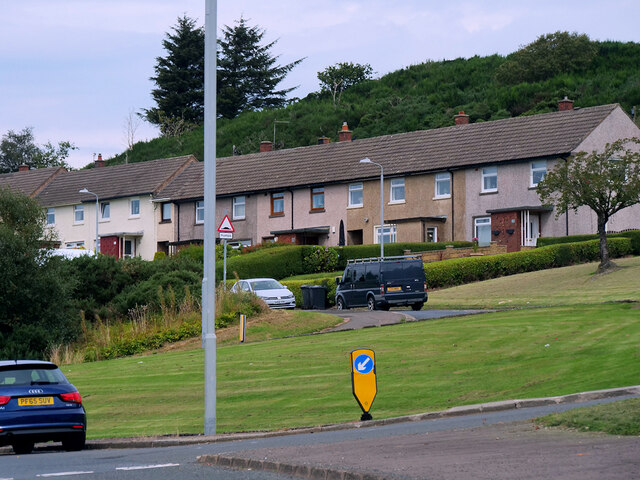
Fancy Farm is a small village located in the Renfrewshire council area of Scotland. Situated approximately 10 miles southwest of Glasgow, this peaceful community is nestled amidst the picturesque countryside, offering residents and visitors a tranquil escape from the bustling city life.
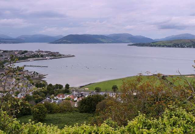
The village is known for its beautiful landscapes and rolling hills, which provide the perfect backdrop for outdoor activities such as hiking, cycling, and horseback riding. The surrounding area is also home to several nature reserves, offering nature enthusiasts the opportunity to explore diverse flora and fauna.
Fancy Farm has a rich history, with records dating back to the 15th century. The village was traditionally an agricultural community, and remnants of its past can still be seen in the form of old farmhouses and outbuildings scattered throughout the area.
In terms of amenities, Fancy Farm offers a range of facilities to cater to the needs of its residents. These include a village hall, a primary school, and a local shop for everyday essentials. Additionally, the village is well-connected to nearby towns and cities, with regular bus services available.
One of the highlights of Fancy Farm is its strong sense of community. Residents often come together for various events and festivities, fostering a close-knit and welcoming atmosphere. The village also hosts an annual summer fair, drawing visitors from near and far to enjoy live music, local food, and a range of entertainment options.
Overall, Fancy Farm offers a serene and idyllic living environment, with its natural beauty, rich history, and vibrant community spirit making it an attractive place to call home.
If you have any feedback on the listing, please let us know in the comments section below.
Fancy Farm Images
Images are sourced within 2km of 55.941811/-4.8049654 or Grid Reference NS2475. Thanks to Geograph Open Source API. All images are credited.


Fancy Farm is located at Grid Ref: NS2475 (Lat: 55.941811, Lng: -4.8049654)
Unitary Authority: Inverclyde
Police Authority: Renfrewshire and Inverclyde
What 3 Words
///armrests.shame.optimists. Near Gourock, Inverclyde
Nearby Locations
Related Wikis

Branchton railway station
Branchton railway station is a railway station in Scotland opened in 1967 under British Rail located in the south-west of the town of Greenock, beside...
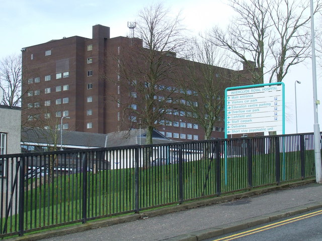
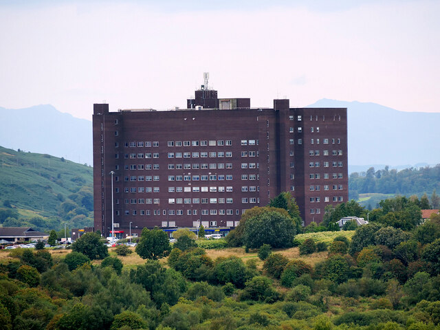
Inverclyde Royal Hospital
Inverclyde Royal Hospital is a district general hospital in Greenock which serves a population area of 125,000 consisting of Inverclyde (including Greenock...

Inverclyde Academy
Inverclyde Academy is a secondary school in Greenock, Scotland that provides education to the majority of the Inverclyde area. The catchment area for the...
Branchton
Branchton (Scots: Branchtoun, Scottish Gaelic: Brainsdean) is an area within the Scottish town of Greenock, in Inverclyde. Tenements used to dominate the...
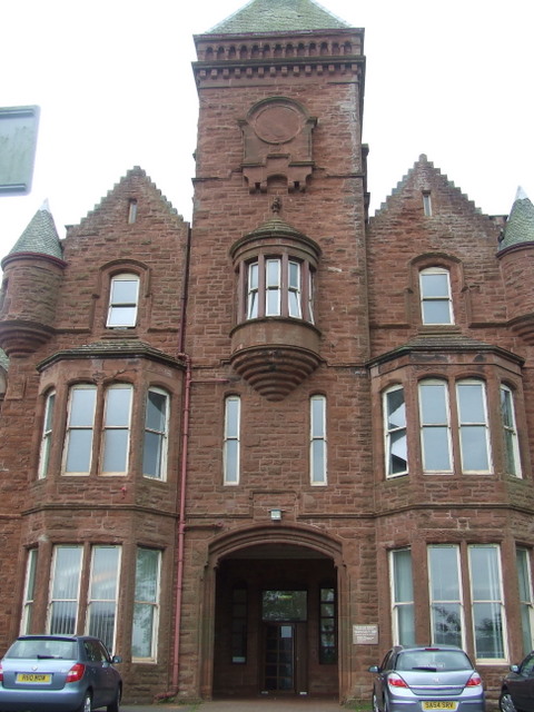
Ravenscraig Hospital
Ravenscraig Hospital was a mental health facility in Inverkip Road, Greenock, Scotland. It was managed by NHS Greater Glasgow and Clyde. == History... ==

Ravenscraig Stadium
Ravenscraig Stadium is a multi-purpose stadium, in Greenock, Inverclyde, Scotland. The stadium is primarily set up for athletics, with a running track...

Ravenscraig railway station
Ravenscraig railway station was a railway station located south west of the town of Greenock, Inverclyde, Scotland, originally as part of the Greenock...

Braeside, Greenock
Braeside is a neighbourhood situated on the far west side of Greenock, in Inverclyde, Scotland. It has one primary schools in its vicinity, Aileymill,...
Nearby Amenities
Located within 500m of 55.941811,-4.8049654Have you been to Fancy Farm?
Leave your review of Fancy Farm below (or comments, questions and feedback).