Fan Grove
Settlement in Surrey Runnymede
England
Fan Grove
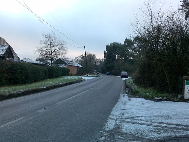
Fan Grove is a charming residential area located in Surrey, England. Situated within the borough of Elmbridge, it is a part of the larger suburb of Esher. Known for its tranquility and natural beauty, Fan Grove offers an idyllic living environment for its residents.
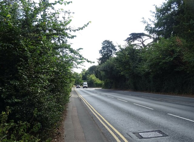
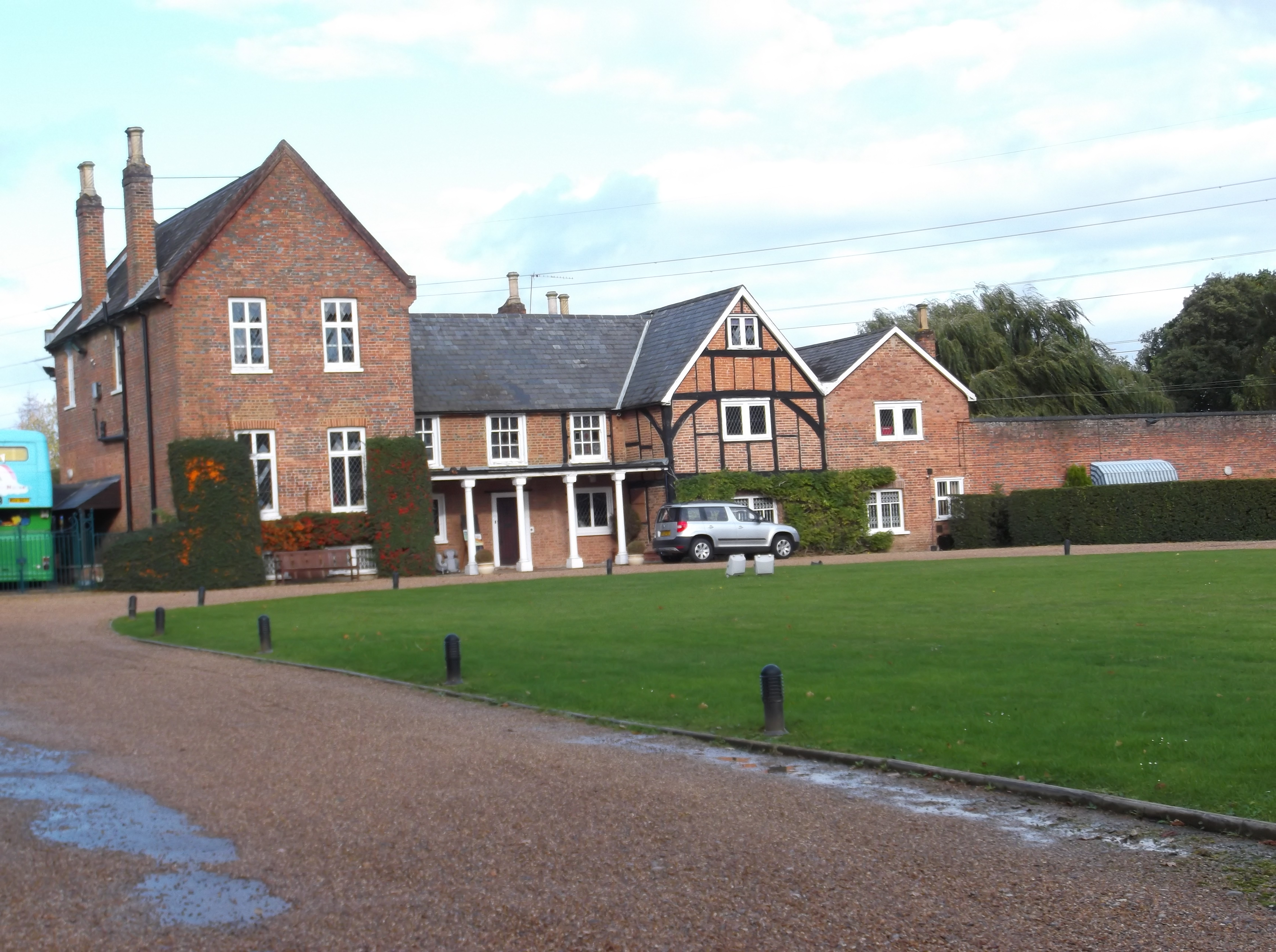
The neighborhood is characterized by its leafy residential streets and well-maintained homes, which range from modern houses to traditional cottages. Many properties in the area boast large gardens, providing ample space for outdoor activities and relaxation. The community is predominantly residential, with a mixture of families, professionals, and retirees calling Fan Grove home.
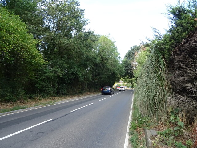
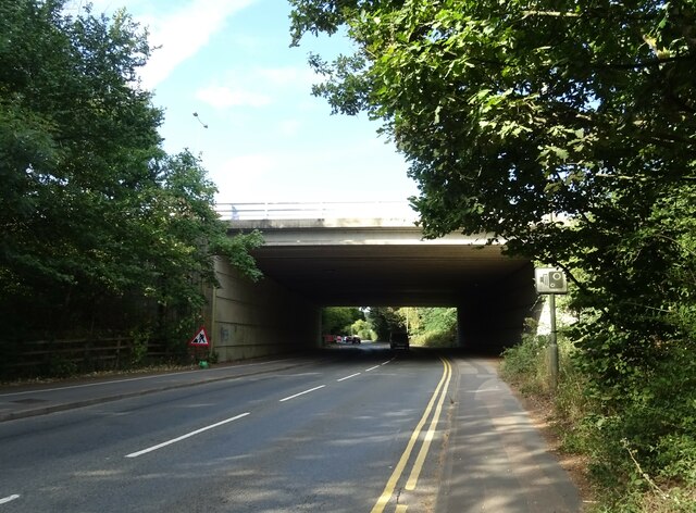
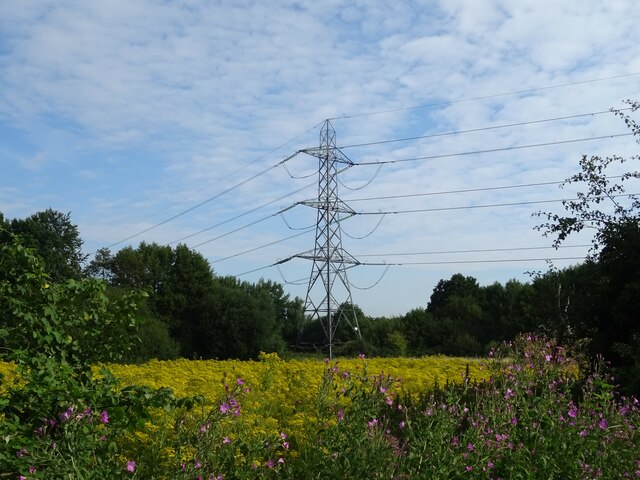
One of the standout features of Fan Grove is its proximity to green spaces and natural areas. The neighborhood is surrounded by picturesque landscapes, including nearby Esher Common and the famous Surrey Hills Area of Outstanding Natural Beauty. These areas offer residents opportunities for hiking, cycling, and enjoying the great outdoors.
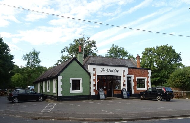
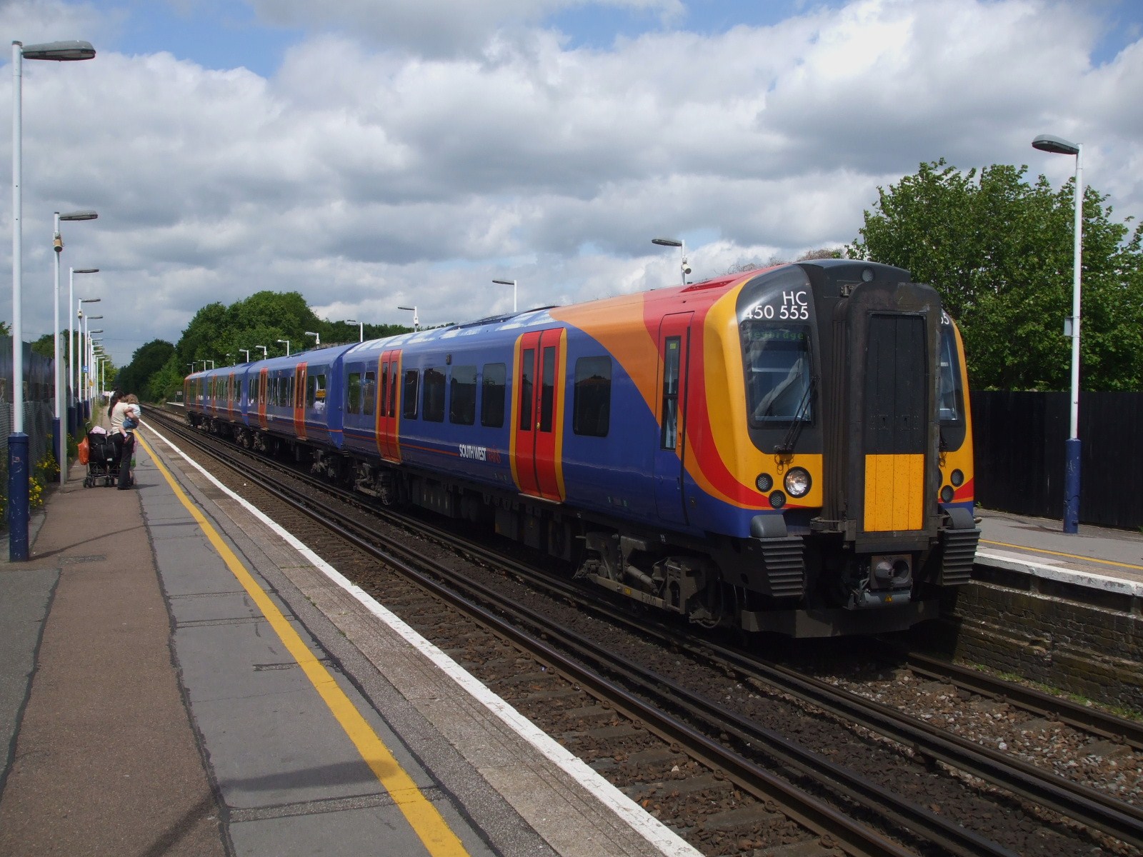
In terms of amenities, Fan Grove benefits from its close proximity to Esher High Street, which is just a short distance away. Here, residents can find a variety of shops, restaurants, and cafes to cater to their daily needs. The area is also well-served by public transportation, with several bus routes connecting Fan Grove to neighboring towns and villages.
Overall, Fan Grove offers a peaceful and scenic setting with a strong sense of community. It provides residents with a high quality of life, combining the beauty of the Surrey countryside with the convenience of nearby amenities.
If you have any feedback on the listing, please let us know in the comments section below.
Fan Grove Images
Images are sourced within 2km of 51.384658/-0.54083853 or Grid Reference TQ0166. Thanks to Geograph Open Source API. All images are credited.


Fan Grove is located at Grid Ref: TQ0166 (Lat: 51.384658, Lng: -0.54083853)
Administrative County: Surrey
District: Runnymede
Police Authority: Surrey
What 3 Words
///rails.double.sudden. Near Chertsey, Surrey
Nearby Locations
Related Wikis
Lyne, Surrey
Lyne is a village in the Borough of Runnymede in Surrey, England, approximately 32 km (20 mi) southwest of central London. In the early 13th century, the...
Hardwick Court Farm
Hardwick Court Farm, Hardwick Court when a manor, is a large farm with farmhouse in the west of Chertsey, Surrey, England and was first established during...
Chertsey branch line
The Chertsey branch line connects Virginia Water station on the Waterloo to Reading main line to Weybridge station on the Waterloo to Woking main line...

Borough of Runnymede
The Borough of Runnymede is a local government district with borough status in the English county of Surrey. It is a very prosperous part of the London...

Great Cockcrow Railway
The Great Cockcrow Railway is a 7+1⁄4 in (184 mm) gauge miniature railway located near Chertsey, Surrey, England. It is usually open on Sunday afternoons...
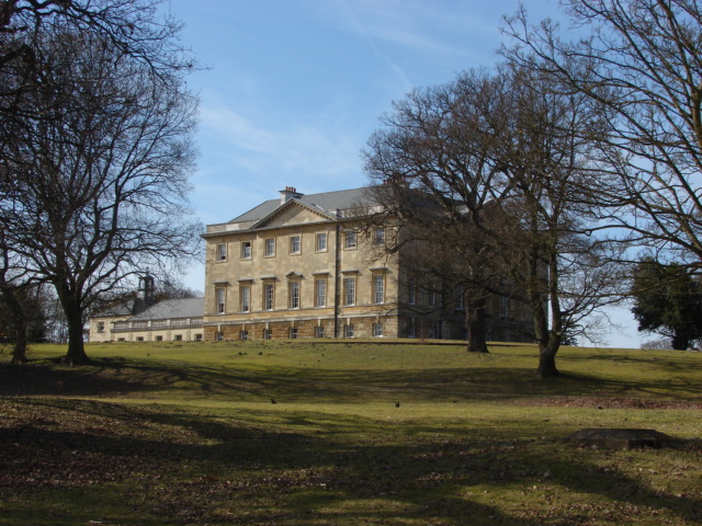
Botleys Mansion
Botleys Mansion is a Palladian mansion house in the south of Chertsey, Surrey, England, just south of St Peter's Hospital. The house was built in the...
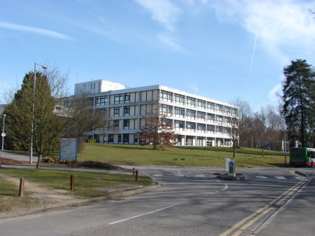
St Peter's Hospital, Chertsey
St Peter's Hospital is an NHS district general hospital in Chertsey, Surrey, England. It has 400 beds and a wide range of acute care services, including...

Foxhills Golf Club
Foxhills is a golf club and resort located in Ottershaw, Surrey, United Kingdom. It was established in 1975 and named for Charles James Fox on whose former...
Nearby Amenities
Located within 500m of 51.384658,-0.54083853Have you been to Fan Grove?
Leave your review of Fan Grove below (or comments, questions and feedback).