Ravenscraig
Settlement in Renfrewshire
Scotland
Ravenscraig
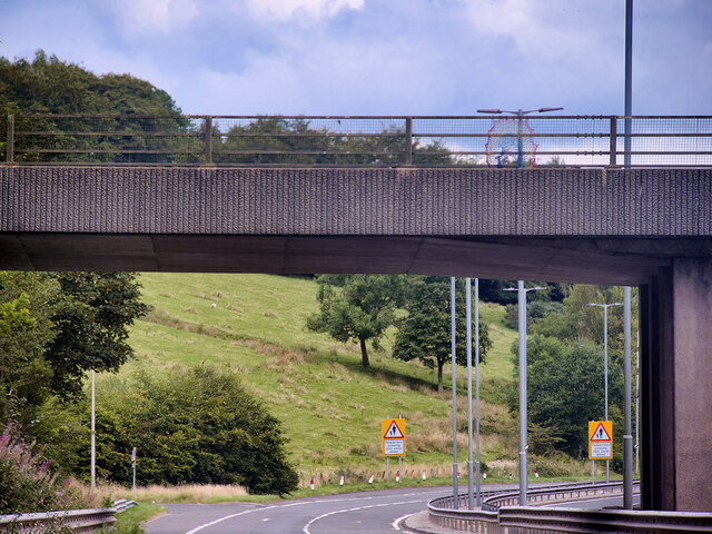
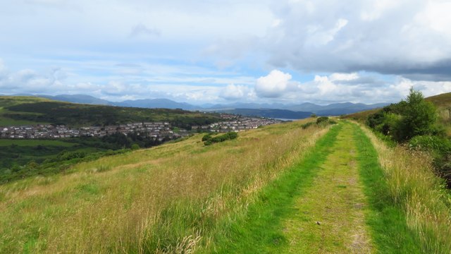
Ravenscraig is a small village located in the county of Renfrewshire, Scotland. Situated on the banks of the Clyde River, it is nestled between the towns of Greenock and Port Glasgow. The village has a population of approximately 1,500 residents.
Historically, Ravenscraig was known for its iron and steel industry, which thrived during the 19th and 20th centuries. The village was home to the Ravenscraig Steelworks, one of Scotland's largest steel production facilities. However, the steelworks closed in 1992, resulting in the loss of thousands of jobs and a significant impact on the local economy.
Since its closure, Ravenscraig has undergone a process of regeneration, with efforts focused on transforming the former industrial site into a residential and commercial area. The Ravenscraig Regional Sports Facility, a state-of-the-art sports complex, was opened in 2010, providing modern recreational amenities for both residents and visitors.
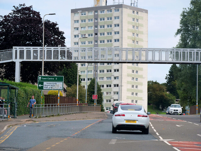
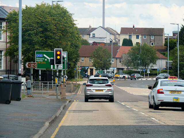
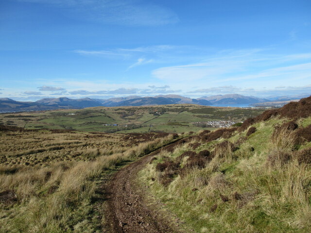
The village enjoys a picturesque setting, surrounded by rolling hills and offering stunning views of the Clyde River. It benefits from excellent transportation links, with easy access to major road networks and nearby train stations. This allows residents to easily commute to larger towns and cities in the region.
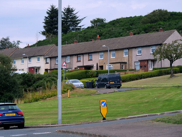
Today, Ravenscraig is a vibrant community with a mix of modern housing developments and older, traditional homes. It boasts a range of amenities, including shops, schools, and recreational facilities. The village's transformation from an industrial hub to a residential area has breathed new life into Ravenscraig, making it an attractive place to live.
If you have any feedback on the listing, please let us know in the comments section below.
Ravenscraig Images
Images are sourced within 2km of 55.938696/-4.8134524 or Grid Reference NS2475. Thanks to Geograph Open Source API. All images are credited.


Ravenscraig is located at Grid Ref: NS2475 (Lat: 55.938696, Lng: -4.8134524)
Unitary Authority: Inverclyde
Police Authority: Renfrewshire and Inverclyde
What 3 Words
///braced.loaning.stood. Near Gourock, Inverclyde
Nearby Locations
Related Wikis

Ravenscraig Stadium
Ravenscraig Stadium is a multi-purpose stadium, in Greenock, Inverclyde, Scotland. The stadium is primarily set up for athletics, with a running track...

Inverclyde Academy
Inverclyde Academy is a secondary school in Greenock, Scotland that provides education to the majority of the Inverclyde area. The catchment area for the...

Ravenscraig railway station
Ravenscraig railway station was a railway station located south west of the town of Greenock, Inverclyde, Scotland, originally as part of the Greenock...

Branchton
Branchton (Scots: Branchtoun, Scottish Gaelic: Brainsdean) is an area within the Scottish town of Greenock, in Inverclyde. Tenements used to dominate the...

Braeside, Greenock
Braeside is a neighbourhood situated on the far west side of Greenock, in Inverclyde, Scotland. It has one primary schools in its vicinity, Aileymill,...
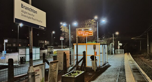
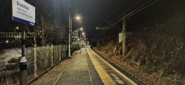
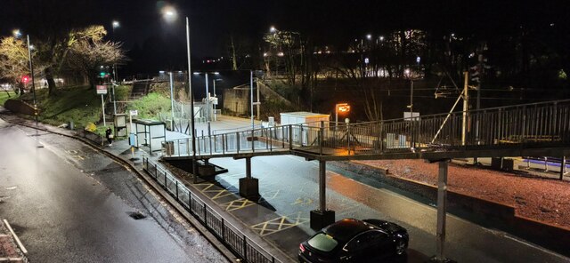
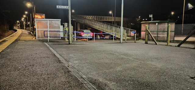
Branchton railway station
Branchton railway station is a railway station in Scotland opened in 1967 under British Rail located in the south-west of the town of Greenock, beside...
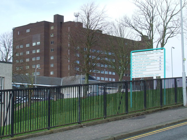
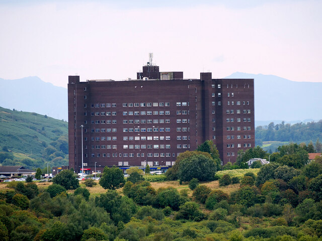
Inverclyde Royal Hospital
Inverclyde Royal Hospital is a district general hospital in Greenock which serves a population area of 125,000 consisting of Inverclyde (including Greenock...
Larkfield, Greenock
Larkfield is the largest council housing estate in Greenock, Inverclyde, Scotland. == Geography == The estate is named after Larkfield Farm, Larkfield...
Nearby Amenities
Located within 500m of 55.938696,-4.8134524Have you been to Ravenscraig?
Leave your review of Ravenscraig below (or comments, questions and feedback).