Branchton
Settlement in Renfrewshire
Scotland
Branchton
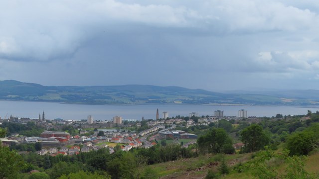
Branchton is a small residential area located in Renfrewshire, Scotland. Situated on the outskirts of the larger town of Greenock, it is part of the Inverclyde council area. Branchton is primarily a housing estate, characterized by its quiet and peaceful atmosphere.
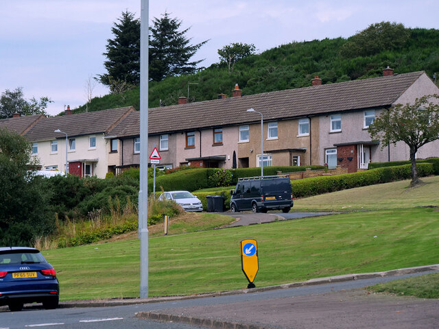
The area is known for its close-knit community and friendly residents. Many of the houses in Branchton are traditional brick-built semi-detached homes, offering a mix of private and council-owned properties. The streets are well-maintained, with ample green spaces and gardens, providing a pleasant environment for families and individuals alike.
Branchton benefits from its proximity to various amenities and services. There is a local primary school within walking distance, ensuring convenience for families with young children. Additionally, the nearby town of Greenock offers a range of shops, supermarkets, and leisure facilities, catering to the needs of the residents.
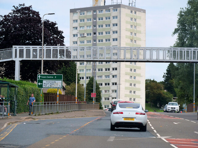
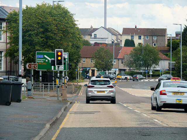
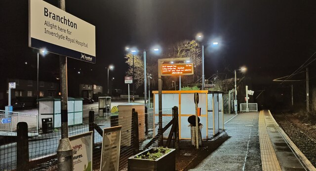
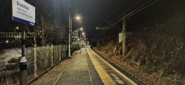
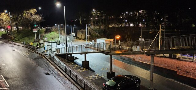
Transport links in Branchton are also well-established. The area is served by regular bus services, with good connections to Greenock town center and other nearby towns. The Branchton railway station provides easy access to Glasgow and other destinations across Scotland.
Overall, Branchton offers a quiet and family-friendly environment, making it an attractive place to live for those seeking a peaceful suburban lifestyle, while still being within reach of larger towns and cities.
If you have any feedback on the listing, please let us know in the comments section below.
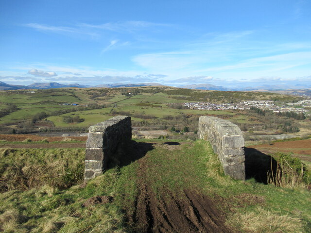
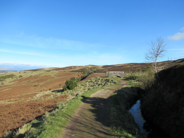
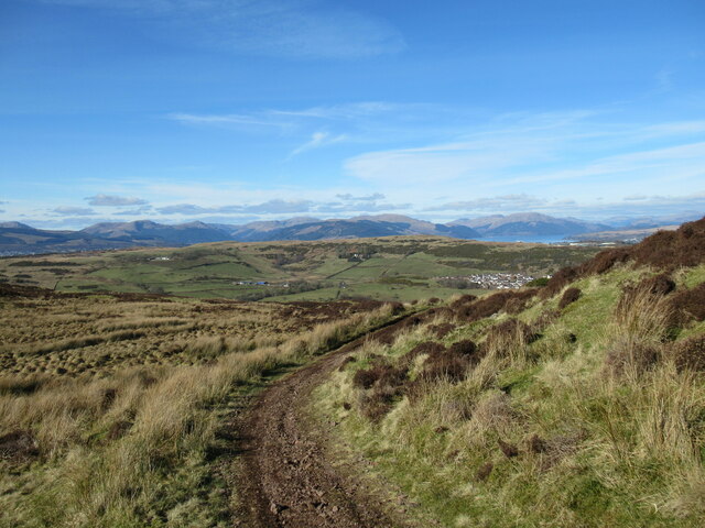
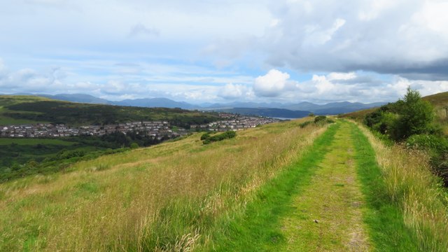
Branchton Images
Images are sourced within 2km of 55.93816/-4.806399 or Grid Reference NS2475. Thanks to Geograph Open Source API. All images are credited.

Branchton is located at Grid Ref: NS2475 (Lat: 55.93816, Lng: -4.806399)
Unitary Authority: Inverclyde
Police Authority: Renfrewshire and Inverclyde
What 3 Words
///sleepers.lemons.fictional. Near Gourock, Inverclyde
Nearby Locations
Related Wikis

Branchton
Branchton (Scots: Branchtoun, Scottish Gaelic: Brainsdean) is an area within the Scottish town of Greenock, in Inverclyde. Tenements used to dominate the...
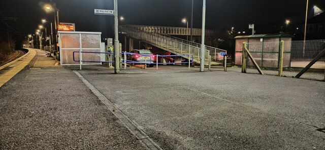
Branchton railway station
Branchton railway station is a railway station in Scotland opened in 1967 under British Rail located in the south-west of the town of Greenock, beside...

Inverclyde Academy
Inverclyde Academy is a secondary school in Greenock, Scotland that provides education to the majority of the Inverclyde area. The catchment area for the...
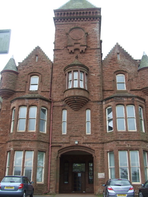
Ravenscraig Hospital
Ravenscraig Hospital was a mental health facility in Inverkip Road, Greenock, Scotland. It was managed by NHS Greater Glasgow and Clyde. == History... ==

Ravenscraig railway station
Ravenscraig railway station was a railway station located south west of the town of Greenock, Inverclyde, Scotland, originally as part of the Greenock...

Ravenscraig Stadium
Ravenscraig Stadium is a multi-purpose stadium, in Greenock, Inverclyde, Scotland. The stadium is primarily set up for athletics, with a running track...
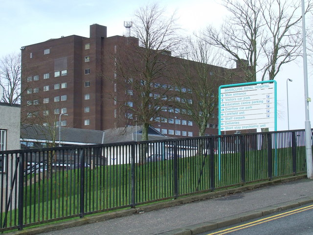
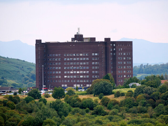
Inverclyde Royal Hospital
Inverclyde Royal Hospital is a district general hospital in Greenock which serves a population area of 125,000 consisting of Inverclyde (including Greenock...

Braeside, Greenock
Braeside is a neighbourhood situated on the far west side of Greenock, in Inverclyde, Scotland. It has one primary schools in its vicinity, Aileymill,...
Nearby Amenities
Located within 500m of 55.93816,-4.806399Have you been to Branchton?
Leave your review of Branchton below (or comments, questions and feedback).