Brand End
Settlement in Lincolnshire Boston
England
Brand End

Brand End is a small village located in the county of Lincolnshire, England. Situated in the East Lindsey district, it lies approximately 7 miles southeast of the market town of Louth. The village is nestled in the rural countryside, surrounded by picturesque landscapes and rolling hills.
Brand End is a quiet and peaceful village, with a population of around 150 residents. The village is predominantly residential, characterized by charming cottages and traditional brick houses. The community is tight-knit and friendly, with a strong sense of community spirit.
Despite its small size, Brand End offers a few amenities for its residents. The village is home to a local pub, providing a gathering place for locals to socialize and enjoy a drink or meal. Additionally, there is a small primary school within the village, catering to the educational needs of the younger residents.
The surrounding countryside offers numerous opportunities for outdoor activities. Residents and visitors can explore the nearby walking trails and cycling routes, enjoying the beautiful scenery and fresh air. The village is also located close to the Lincolnshire Wolds, an Area of Outstanding Natural Beauty, providing further opportunities for outdoor enthusiasts.
Overall, Brand End is a tranquil and idyllic village, perfect for those seeking a peaceful rural lifestyle. Its picturesque setting and sense of community make it an attractive place to live or visit for those who appreciate the beauty of the Lincolnshire countryside.
If you have any feedback on the listing, please let us know in the comments section below.
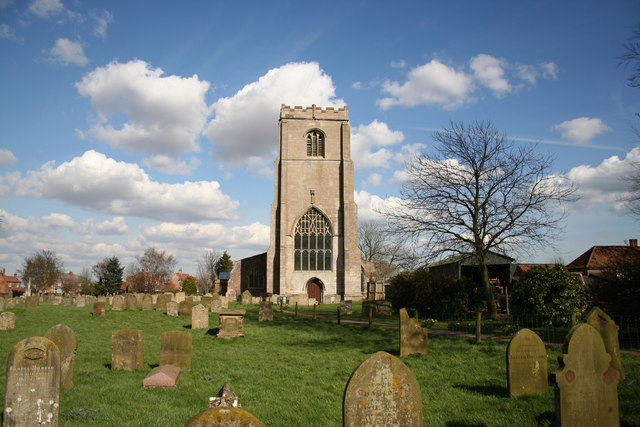
Brand End Images
Images are sourced within 2km of 52.986011/0.053104 or Grid Reference TF3745. Thanks to Geograph Open Source API. All images are credited.


Brand End is located at Grid Ref: TF3745 (Lat: 52.986011, Lng: 0.053104)
Division: Parts of Holland
Administrative County: Lincolnshire
District: Boston
Police Authority: Lincolnshire
What 3 Words
///important.fired.grades. Near Butterwick, Lincolnshire
Nearby Locations
Related Wikis

Butterwick, Lincolnshire
Butterwick is a village and civil parish in the Borough of Boston, Lincolnshire, England, It is situated approximately 3 miles (5 km) east from the market...
Freiston
Freiston is a village and civil parish in Lincolnshire, England. The population of the civil parish (including Freiston Shore) at the 2011 census was 1...

Freiston Priory
Freiston Priory was a Benedictine cell of Crowland Abbey founded in 1114, and became a priory soon afterwards. It was Dissolved in 1539 and was located...
Endeavour FM
Endeavour FM is a local community radio station covering the area of Boston, Lincolnshire in England. Previously the station had been called Endeavour...
Nearby Amenities
Located within 500m of 52.986011,0.053104Have you been to Brand End?
Leave your review of Brand End below (or comments, questions and feedback).