Far Bletchley
Settlement in Buckinghamshire
England
Far Bletchley
Far Bletchley is a suburban area located in the county of Buckinghamshire, England. Situated approximately 4 miles south of Milton Keynes, it is part of the civil parish of Bletchley and Fenny Stratford. With a population of around 9,500 people, Far Bletchley offers a mix of residential and commercial developments.
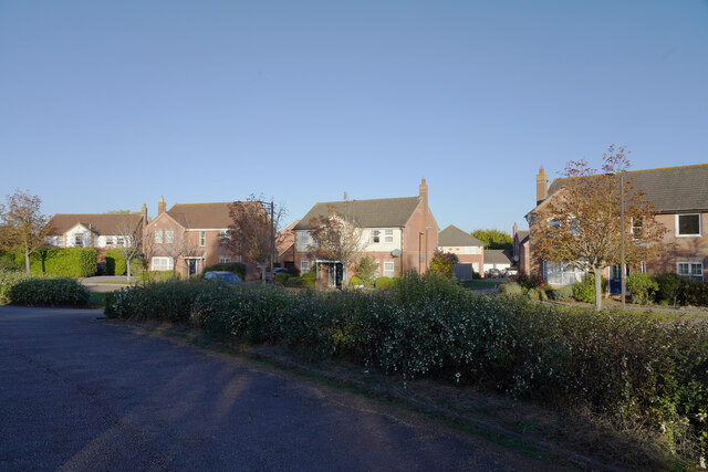
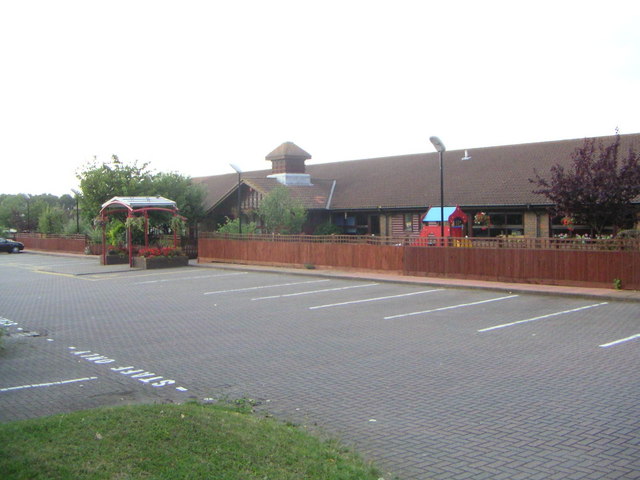
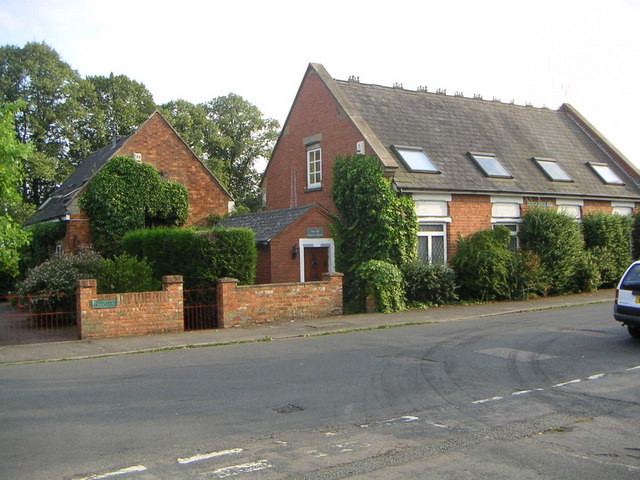
The area is characterized by its well-planned layout, featuring a network of tree-lined streets and spacious housing estates. The majority of properties in Far Bletchley consist of semi-detached and terraced houses, catering to a diverse range of residents, from families to young professionals. Additionally, there are a number of purpose-built apartment complexes providing accommodation options for those seeking a more compact living space.
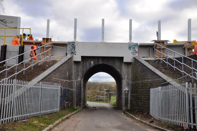
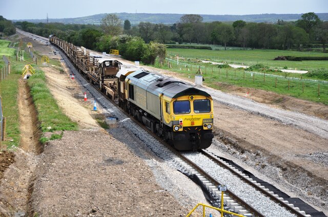
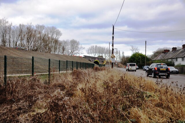
Far Bletchley benefits from excellent transport links, including its proximity to the A5 road and the M1 motorway, which allows for easy access to surrounding areas and major cities such as London and Birmingham. The nearby Bletchley railway station provides regular train services to various destinations, making it an ideal location for commuters.
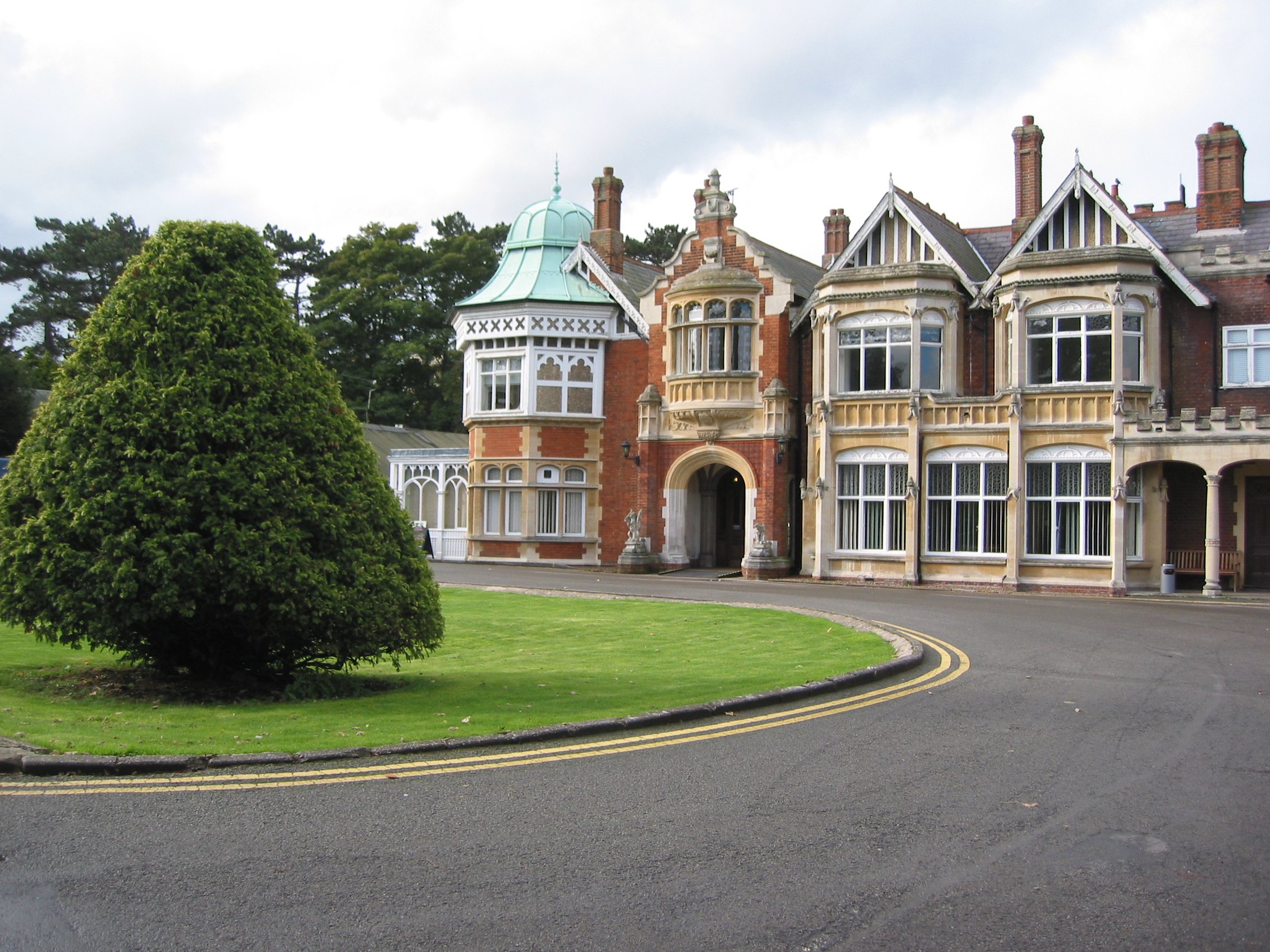
Residents of Far Bletchley have access to a range of amenities and facilities, including schools, healthcare centers, and recreational areas. The area is served by several local shops, supermarkets, and restaurants, ensuring that daily needs are met conveniently. For leisure activities, Bletchley Park, the historic site of World War II codebreaking, is nearby and attracts visitors from all over the world.
In summary, Far Bletchley is a well-established suburban area in Buckinghamshire, offering a pleasant residential environment with excellent transport links and a variety of amenities.
If you have any feedback on the listing, please let us know in the comments section below.
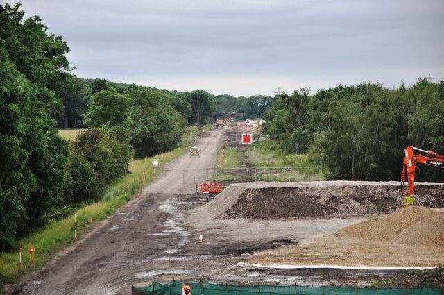
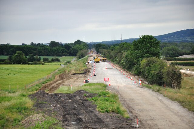
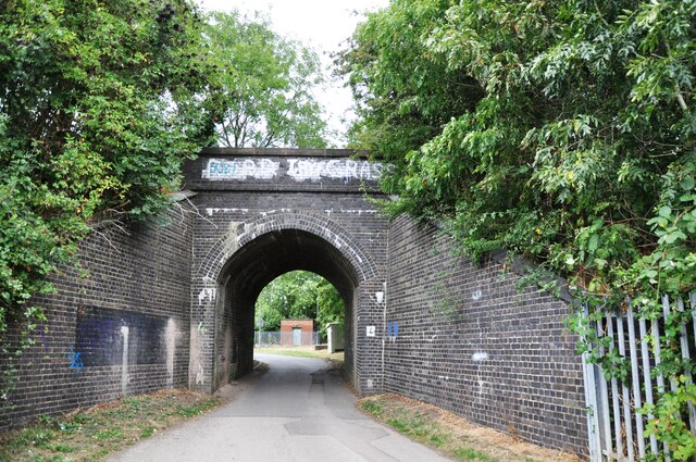
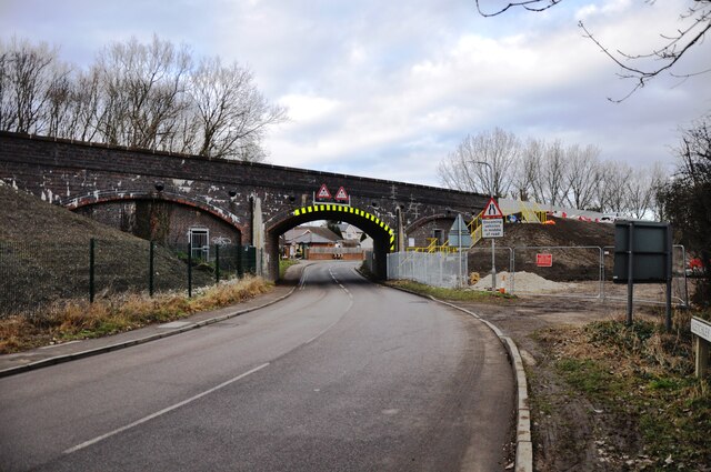
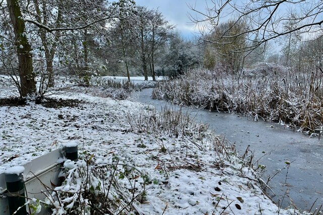
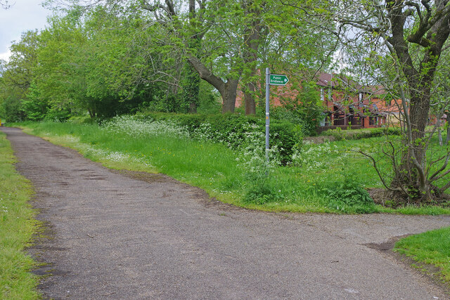
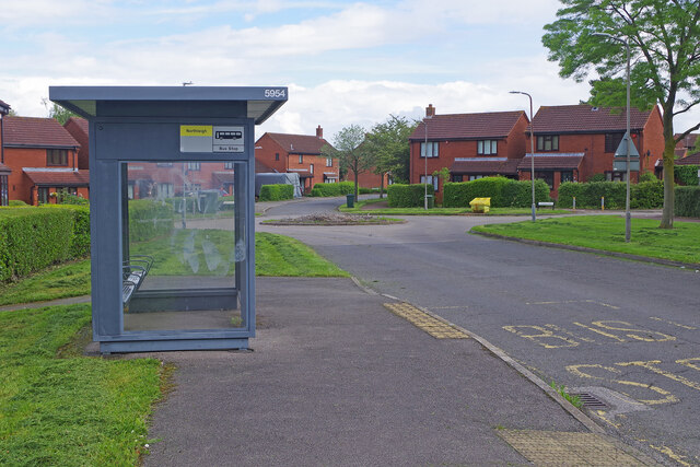
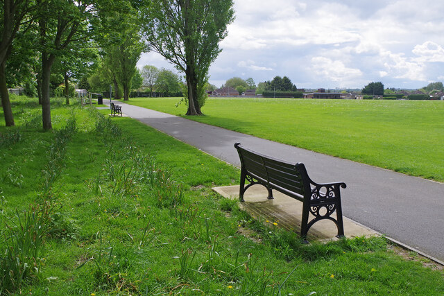
Far Bletchley Images
Images are sourced within 2km of 51.988761/-0.77557871 or Grid Reference SP8432. Thanks to Geograph Open Source API. All images are credited.


Far Bletchley is located at Grid Ref: SP8432 (Lat: 51.988761, Lng: -0.77557871)
Unitary Authority: Milton Keynes
Police Authority: Thames Valley
What 3 Words
///ending.farm.help. Near Newton Longville, Buckinghamshire
Nearby Locations
Related Wikis
Tattenhoe
Tattenhoe and Tattenhoe Park are adjacent neighbourhoods of Milton Keynes, Buckinghamshire, England, in the ancient ecclesiastic parish of Tattenhoe....
Newton Longville
Newton Longville is a village and civil parish in Buckinghamshire, England, within the Buckinghamshire Council unitary authority area. The village is about...
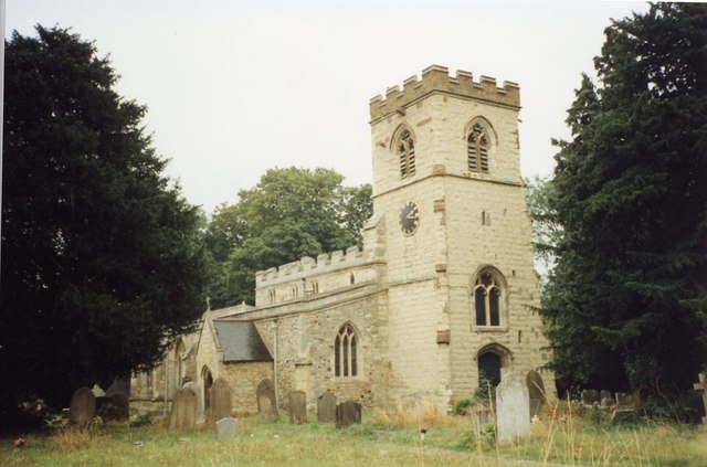
St Giles's Church, Tattenhoe
St. Giles's Church is a small 16th century Church of England church in Tattenhoe, a district in south-west Milton Keynes, Buckinghamshire, England. It...

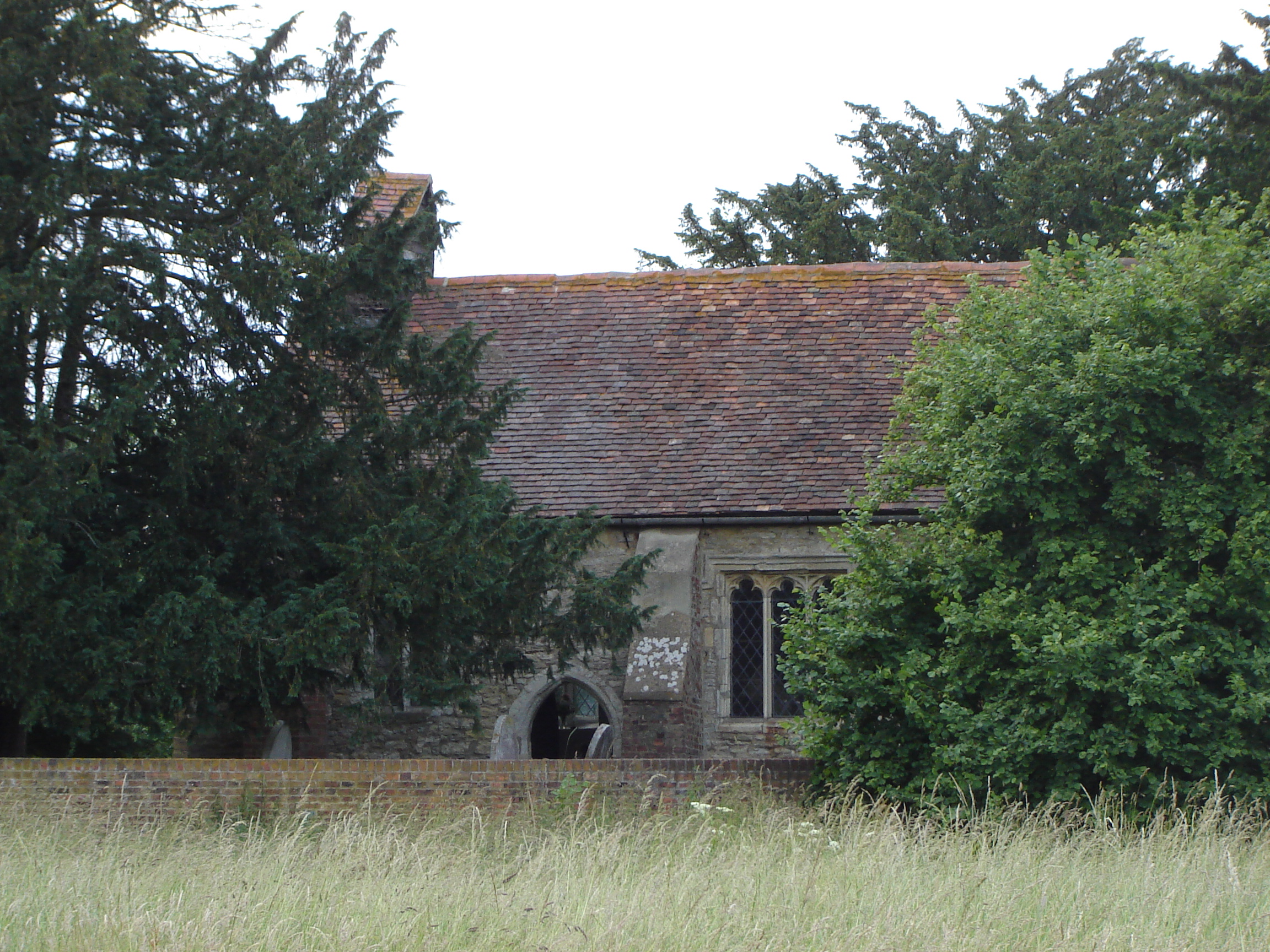
Newton Longville Priory
Newton Longville Priory was an alien priory in Newton Longville, Buckinghamshire, England. It was established in the 1150s and was dissolved in 1441....

Howe Park Wood
Howe Park Wood is a 21.4-hectare (53-acre) Site of Special Scientific Interest in Tattenhoe, a district of Milton Keynes in Buckinghamshire. It is owned...
West Bletchley
West Bletchley is a district and civil parish that covers the western part of Bletchley, a constituent town of Milton Keynes in Buckinghamshire, England...

Furzton
Furzton is a district in south-west Milton Keynes, Buckinghamshire, England and in the civil parish of Shenley Brook End The man-made Furzton Lake is a...
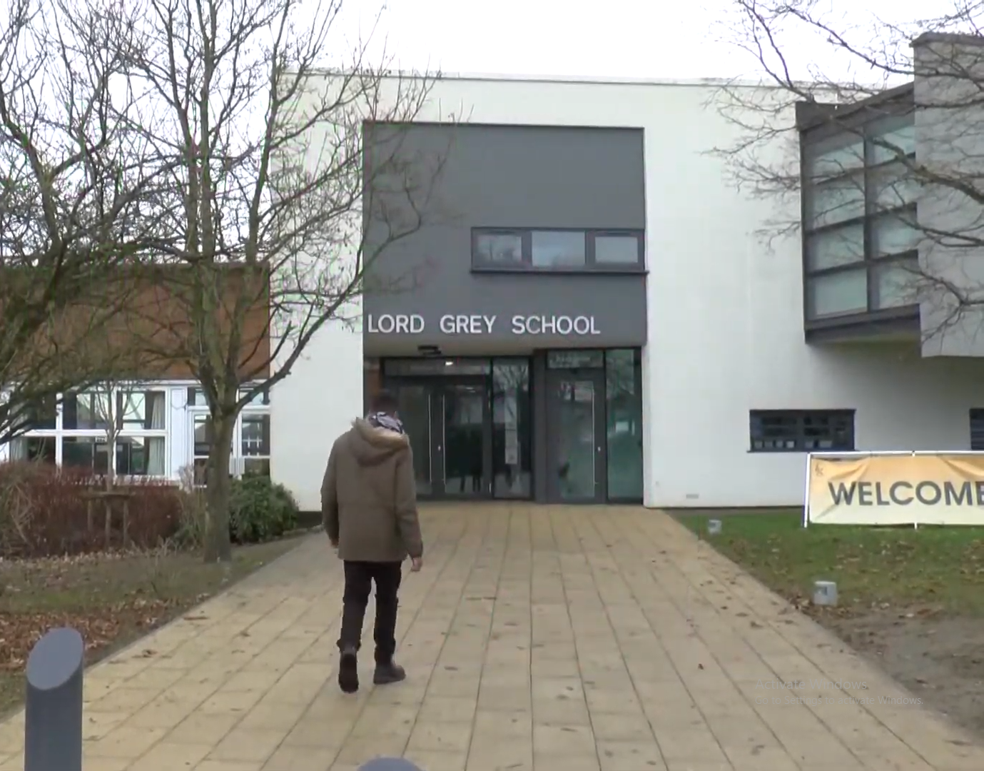
Lord Grey Academy
Lord Grey Academy (formerly Lord Grey School) is a comprehensive 11-19 coeducational secondary academy and sixth form in West Bletchley, Milton Keynes...
Nearby Amenities
Located within 500m of 51.988761,-0.77557871Have you been to Far Bletchley?
Leave your review of Far Bletchley below (or comments, questions and feedback).