Cockshoot

Settlement in Gloucestershire Stroud

England

Cockshoot

Sheepscombe valley Autumn colours in the Sheepscombe valley, viewed from the footpath through the woodland on Elder Hill.
Sheepscombe valley Credit: Philip Halling

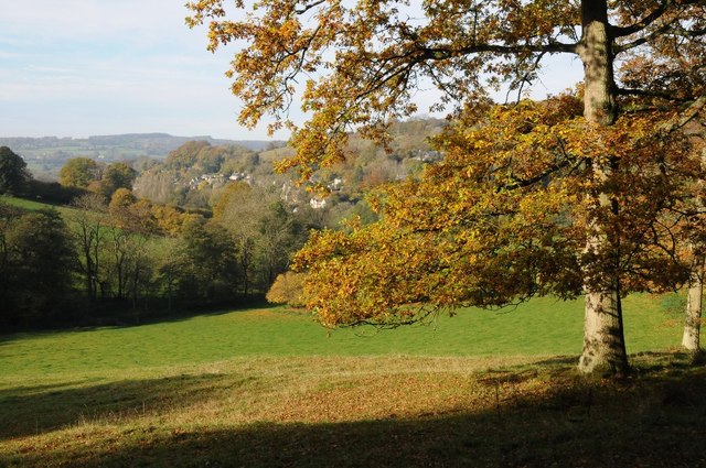
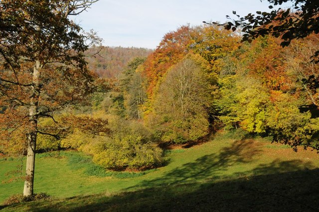
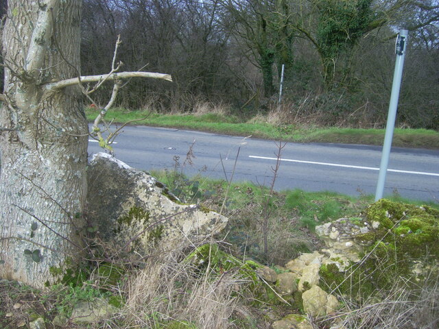
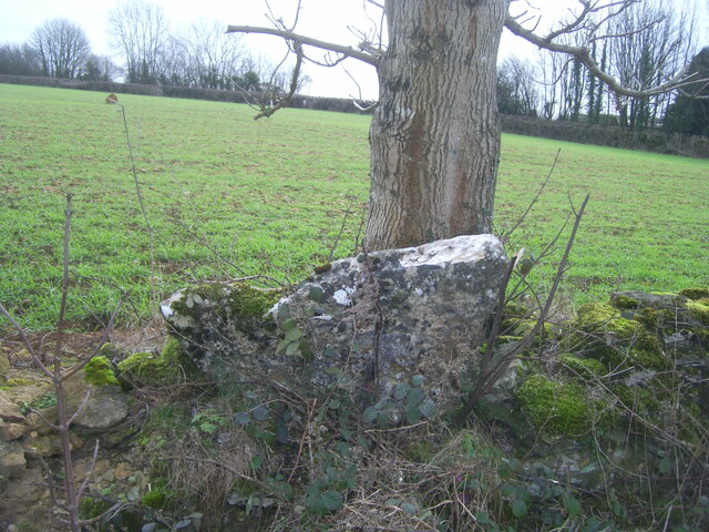
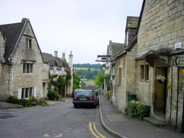
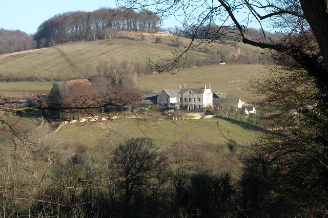
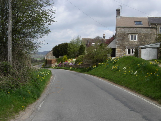
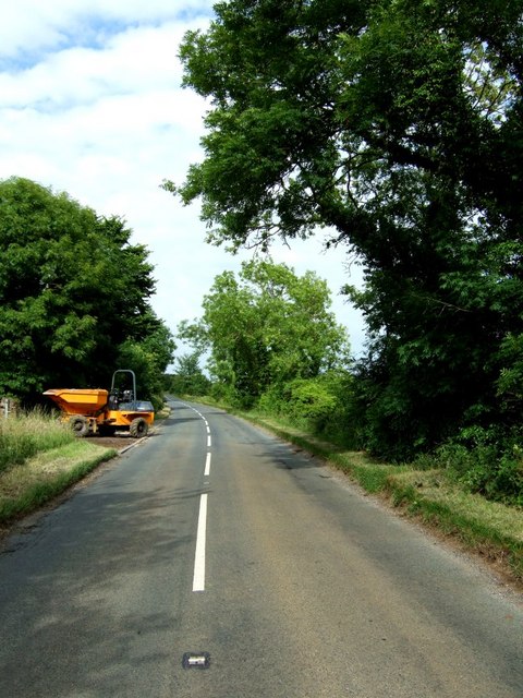
Cockshoot is a small village located in the county of Gloucestershire, England. Situated approximately 6 miles southwest of the town of Tewkesbury, it falls within the administrative district of Tewkesbury Borough. The village is nestled in a rural area, surrounded by rolling hills and farmland.

Cockshoot has a rich history, with evidence of human settlement dating back to the Roman period. The village is mentioned in the Domesday Book of 1086, where it is recorded as "Cocesete," indicating its long-standing presence in the area. Over the centuries, Cockshoot has been predominantly an agricultural community, with farming playing a significant role in its economy.

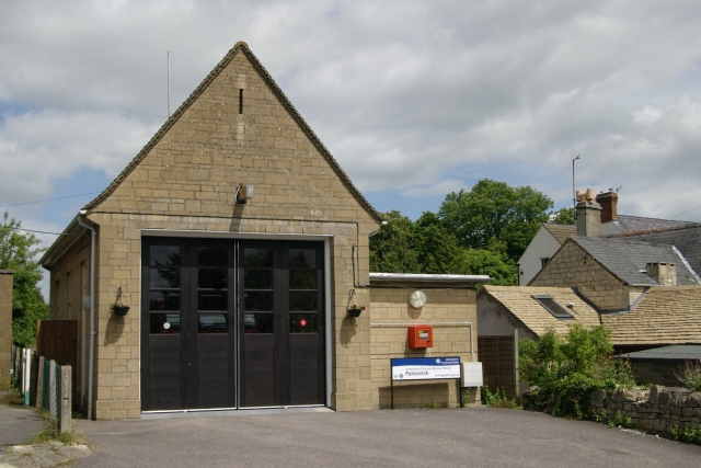
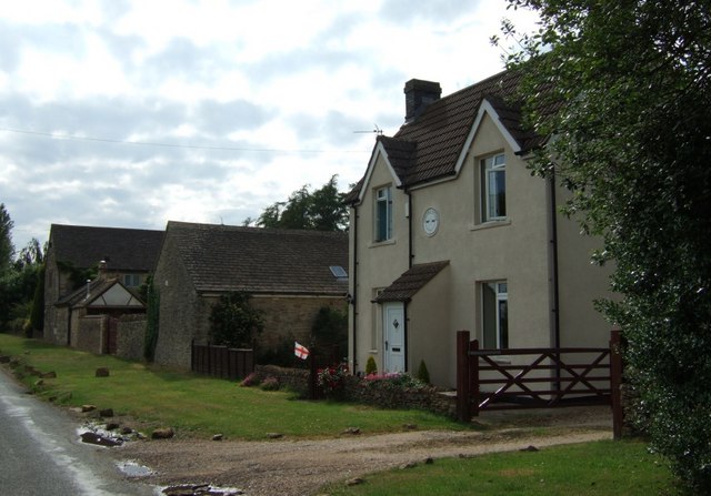
Today, Cockshoot retains its rural charm and tranquility. The village is characterized by a mix of traditional stone cottages and more modern houses, offering a variety of residential options. The community is close-knit, with a strong sense of local pride and camaraderie.

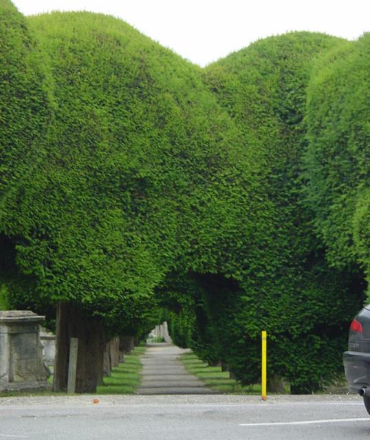
While Cockshoot itself does not have many amenities, it benefits from its proximity to nearby towns and villages. Residents can easily access a range of services, shops, and schools in Tewkesbury and other nearby settlements. The area also offers plenty of opportunities for outdoor activities, with picturesque countryside and walking trails nearby.

Overall, Cockshoot is a peaceful and picturesque village in Gloucestershire, known for its rural setting, historic charm, and strong community spirit.

If you have any feedback on the listing, please let us know in the comments section below.
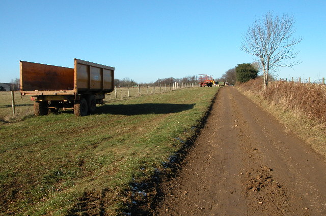
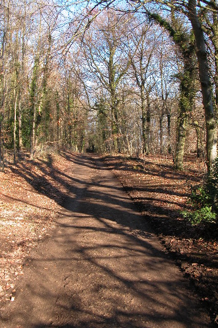
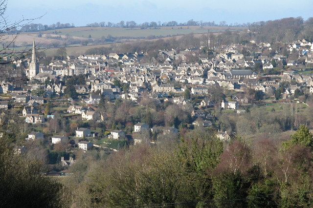
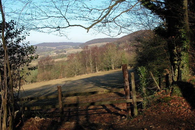
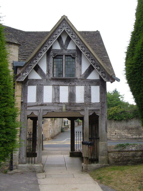
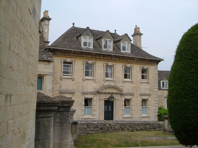
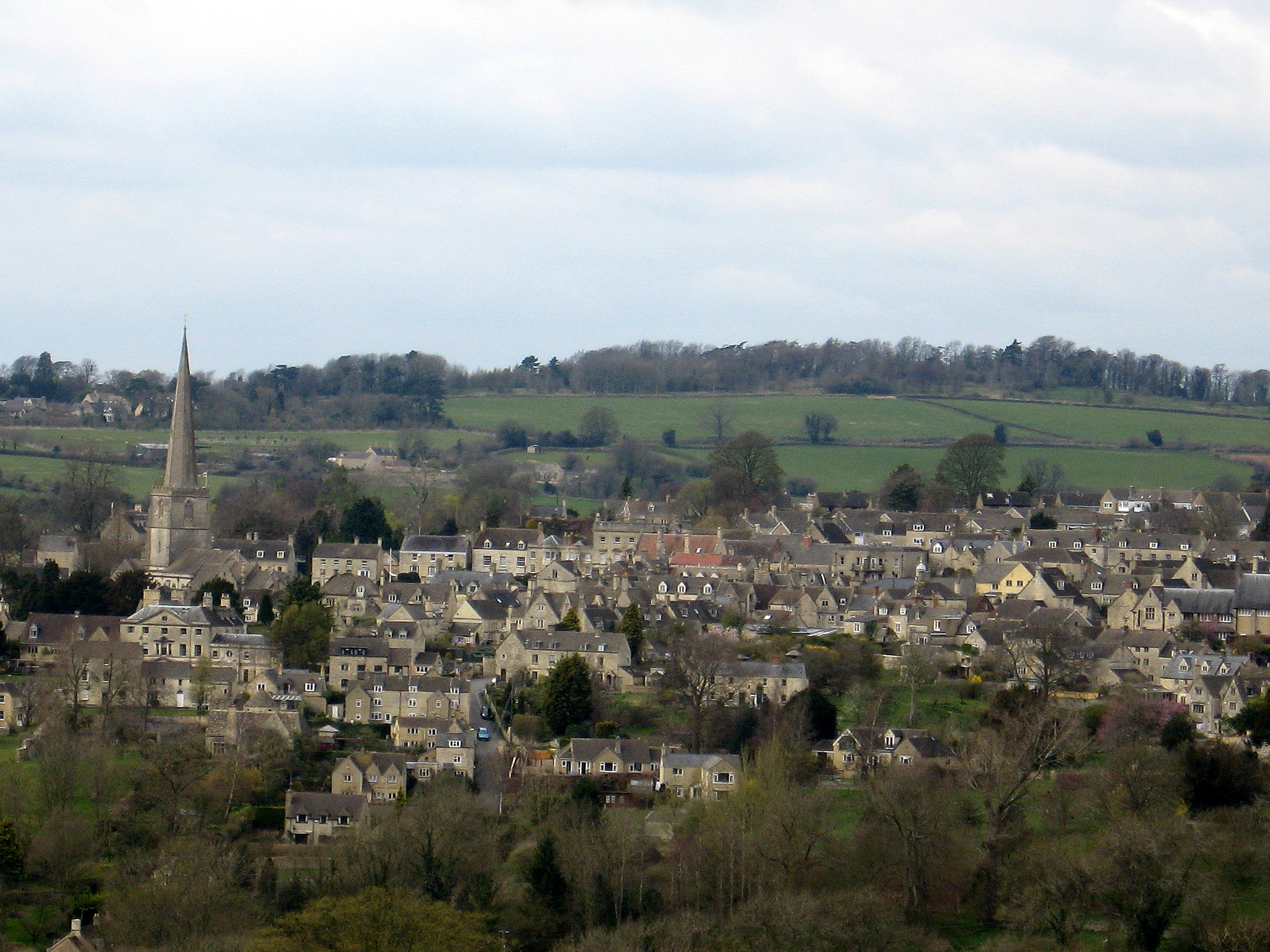
Cockshoot Images

Images are sourced within 2km of 51.787611/-2.1733151 or Grid Reference SO8809. Thanks to Geograph Open Source API. All images are credited.

Sheepscombe valley Autumn colours in the Sheepscombe valley, viewed from the footpath through the woodland on Elder Hill.
Sheepscombe valley
Autumn colours in the Sheepscombe valley, viewed from the footpath through the woodland on Elder Hill.
Autumn colours on Elder Hill Autumn colours on Elder Hill at the head of the Sheepscombe.
Autumn colours on Elder Hill
Autumn colours on Elder Hill at the head of the Sheepscombe.
Stone Stile off B4070 between Sheepscombe/Camp junctions  GS9252 Stone slab stile off B4070 between Sheepscombe and Camp junctions. On public right of way MMN52. View from field to road
Stone Stile off B4070 between Sheepscombe/Camp junctions GS9252
Stone slab stile off B4070 between Sheepscombe and Camp junctions. On public right of way MMN52. View from field to road
Stone Stile off B4070 between Sheepscombe/Camp junctions  GS9252 Stone slab stile off B4070 between Sheepscombe and Camp junctions. On public right of way MMN52
Stone Stile off B4070 between Sheepscombe/Camp junctions GS9252
Stone slab stile off B4070 between Sheepscombe and Camp junctions. On public right of way MMN52
Tibbiwell Lane, Painswick This road runs east and then SE down the hill to Brookhouse Mill.
Tibbiwell Lane, Painswick
This road runs east and then SE down the hill to Brookhouse Mill.
Painswick churchyard The avenues of yew trees form tunnels around the church.
Painswick churchyard
The avenues of yew trees form tunnels around the church.
St Mary's Church, Painswick, Gloucestershire St Mary's Church Painswick is renowned for the magnificent yew trees in the churchyard.  There is also an annual "Clypping ceremony". This ancient religious ceremony has nothing to do with the trees but is the embracing of the church by children of the parish carrying nosegays and singing hymns.  The event is held in September.
St Mary's Church, Painswick, Gloucestershire
St Mary's Church Painswick is renowned for the magnificent yew trees in the churchyard. There is also an annual "Clypping ceremony". This ancient religious ceremony has nothing to do with the trees but is the embracing of the church by children of the parish carrying nosegays and singing hymns. The event is held in September.
Down Farm, Slad Down Farm and Downhill Mound, the hill with the clump of trees, viewed from across the valley from Redding Wood.
Down Farm, Slad
Down Farm and Downhill Mound, the hill with the clump of trees, viewed from across the valley from Redding Wood.
Farm trailers near Down Barn Farm, Slad
Track through woodland on Down Hill, Slad
Painswick viewed from across the valley This is a view of Painswick from the south-east, the picture is from the Slad Road near The Frith.
Painswick viewed from across the valley
This is a view of Painswick from the south-east, the picture is from the Slad Road near The Frith.
The Frith The Frith is woodland on a hill between Slad and Painswick, this is a view from The Frith to the north
The Frith
The Frith is woodland on a hill between Slad and Painswick, this is a view from The Frith to the north
Longridge Village Longridge overlooks Painswick which lies 1Km to the West.
Longridge Village
Longridge overlooks Painswick which lies 1Km to the West.
Painswick Fire Station Painswick Fire Station, Pullens Road, Painswick, Gloucestershire is station number R06 of the Gloucestershire Fire & Rescue Service.
Painswick Fire Station
Painswick Fire Station, Pullens Road, Painswick, Gloucestershire is station number R06 of the Gloucestershire Fire & Rescue Service.
Longridge Court On the B4070 east of Slad, Longridge is a collection of mainly farming settlements. This is Longridge Court, the largest of the buildings at this location.
Longridge Court
On the B4070 east of Slad, Longridge is a collection of mainly farming settlements. This is Longridge Court, the largest of the buildings at this location.
Longridge The B4070 east of Longridge Court.
Longridge
The B4070 east of Longridge Court.
Lychgate, Painswick Built in 1901 from belfry timbers, the bargeboards decorated with carved bells. Seen from the churchyard looking out onto the junction of Edge Road and New Street.
Lychgate, Painswick
Built in 1901 from belfry timbers, the bargeboards decorated with carved bells. Seen from the churchyard looking out onto the junction of Edge Road and New Street.
Vicarage, Painswick The facade of this early C18 clothier's house faces across St Mary's Street onto the churchyard with its yews.
Vicarage, Painswick
The facade of this early C18 clothier's house faces across St Mary's Street onto the churchyard with its yews.
Show me another place!

Cockshoot is located at Grid Ref: SO8809 (Lat: 51.787611, Lng: -2.1733151)

Administrative County: Gloucestershire

District: Stroud

Police Authority: Gloucestershire

What 3 Words

///presume.providing.blazed. Near Painswick, Gloucestershire

Related Wikis

Painswick Lodge

Painswick Lodge is a grade I listed house in Painswick, Gloucestershire, England. The rubble stone building, which has been extensively reworked and remodelled...

Sheepscombe

Sheepscombe is a small village in the civil parish of Painswick, in the Stroud district, in the county of Gloucestershire, England. Sheepscombe is located...
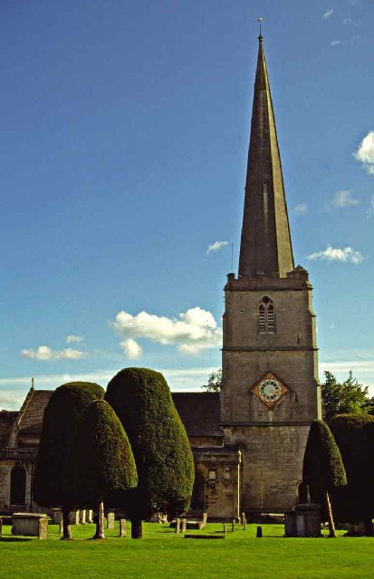
Painswick

Painswick is a town and civil parish in the Stroud District in Gloucestershire, England. Originally the town grew from the wool trade, but it is now best...

Painswick Town Hall

Painswick Town Hall is a municipal building in Victoria Square, Painswick, Gloucestershire, England. The building, which is used as an events venue and...

Nearby Amenities

Located within 500m of 51.787611,-2.1733151
Cockshoot
Is In: Gloucestershire, England, UK
Place: hamlet
Lat/Long: 51.7854049/-2.1729979
Bus Stop
Pyll House Farm
Naptan AtcoCode: 1600GLS573
Naptan Bearing: E
Naptan CommonName: Pyll House Farm
Naptan NaptanCode: glodjwam
Naptan PlusbusZoneRef: STRUD
Naptan Street: Jack's Green
Naptan Verified: no
Source: naptan_import
Lat/Long: 51.7886265/-2.1680791
Bus Stop
Pyll House Farm
Naptan AtcoCode: 1600GLS574
Naptan Bearing: W
Naptan BusStopType: CUS
Naptan CommonName: Pyll House Farm
Naptan Indicator: Opp
Naptan NaptanCode: glodjwdg
Naptan PlusbusZoneRef: STRUD
Naptan Street: Jack's Green
Naptan Verified: no
Source: naptan_import
Lat/Long: 51.7885094/-2.1676285
Pyll House Farm
Landuse: farm
Note Retag: CS #48756035
Source: OS OpenData StreetView
Lat/Long: 51.7892106/-2.1680845
Power: pole
Lat/Long: 51.7870332/-2.1724893
Power: pole
Lat/Long: 51.7882504/-2.1684447
Power: pole
Lat/Long: 51.7837581/-2.1739714
Power: pole
Lat/Long: 51.7878771/-2.1697684
Power: pole
Lat/Long: 51.7914822/-2.1696718
Power: pole
Lat/Long: 51.7891048/-2.1684126
Power: pole
Lat/Long: 51.7906866/-2.1692548
Power: pole
Lat/Long: 51.7899318/-2.1688471
The data included in this document is from www.openstreetmap.org. The data is made available under ODbL.

Have you been to Cockshoot?

Leave your review of Cockshoot below (or comments, questions and feedback).