Cocksford Down
Settlement in Hampshire Basingstoke and Deane
England
Cocksford Down
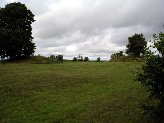
Cocksford Down is a picturesque village located in the county of Hampshire, England. Nestled in the heart of the South Downs National Park, this idyllic countryside destination offers a tranquil and scenic setting for residents and visitors alike.
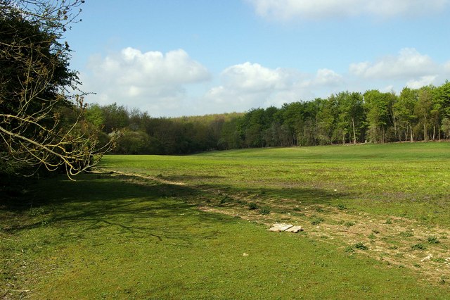
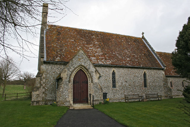
The village is characterized by its stunning rolling hills, green meadows, and sprawling farmlands. It has a population of approximately 500 residents, contributing to its close-knit and friendly community atmosphere. The architecture in Cocksford Down is predominantly traditional, with charming thatched cottages and historic buildings adding to its timeless appeal.
The village is well-known for its rich agricultural heritage, with farming playing a significant role in the local economy. The fertile land surrounding Cocksford Down supports a variety of crops and livestock, making it a hub for agricultural activity.
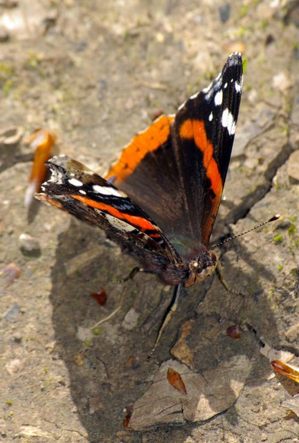
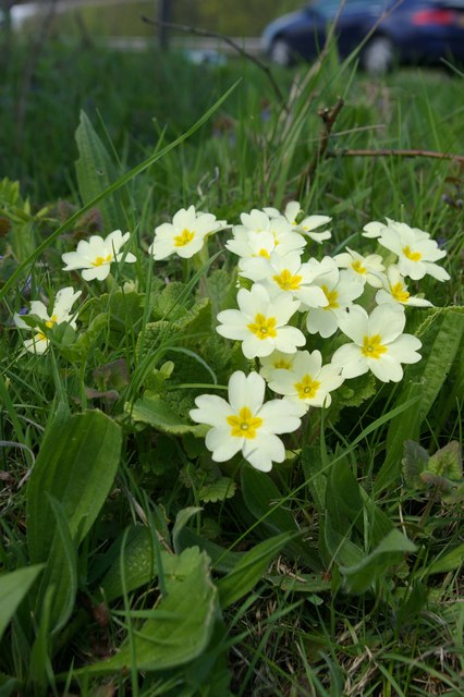
Nature enthusiasts are drawn to Cocksford Down due to its proximity to the South Downs. The area offers an extensive network of footpaths and trails, allowing visitors to explore the stunning landscapes and enjoy breathtaking views. Many visitors also flock to the village for its abundance of wildlife, including deer, foxes, and a variety of bird species.
While Cocksford Down offers a peaceful rural retreat, it is conveniently located near several larger towns and cities. The historic city of Winchester is just a short drive away, offering a range of cultural attractions, shops, and restaurants. Additionally, the coastal towns of Portsmouth and Southampton are within easy reach, providing opportunities for seaside adventures and maritime history exploration.
In summary, Cocksford Down offers a quintessential English countryside experience with its beautiful landscapes, agricultural heritage, and close community spirit. Whether it be for a peaceful retreat or an outdoor adventure, this charming village in Hampshire has something to offer for everyone.
If you have any feedback on the listing, please let us know in the comments section below.
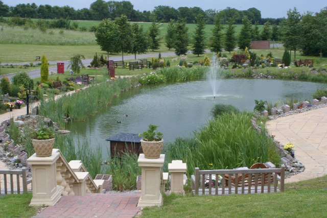
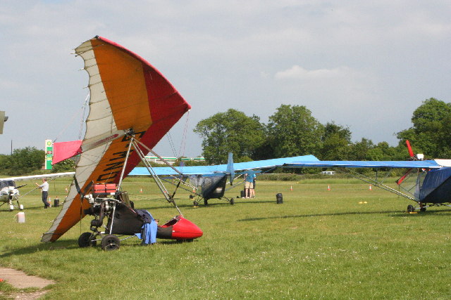
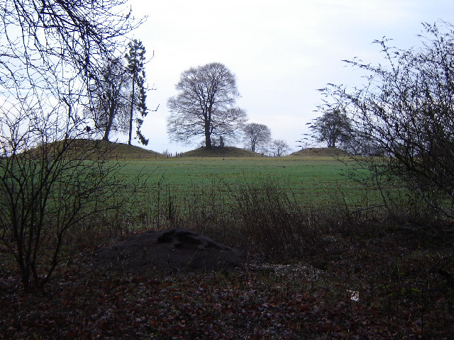
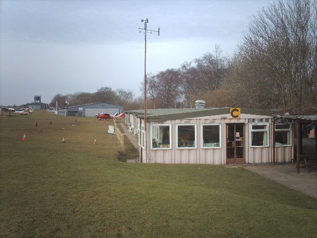
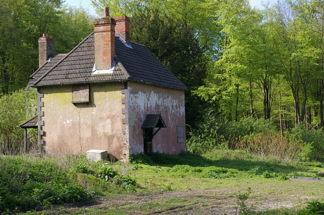
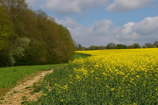
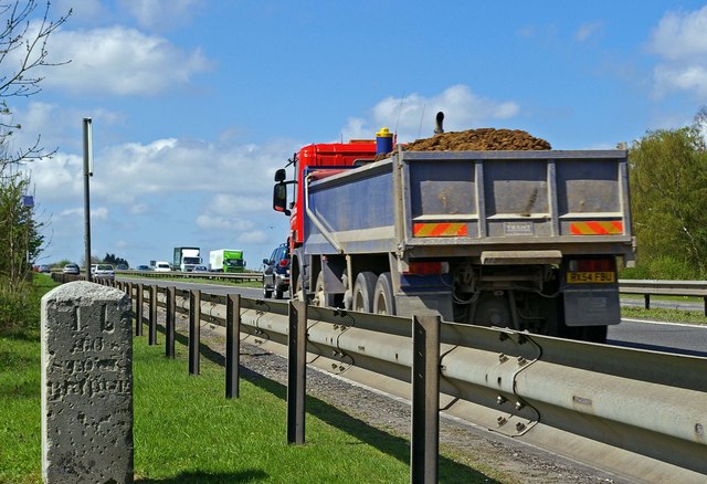
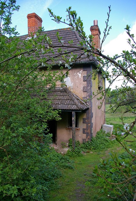
Cocksford Down Images
Images are sourced within 2km of 51.194343/-1.2287593 or Grid Reference SU5344. Thanks to Geograph Open Source API. All images are credited.

Cocksford Down is located at Grid Ref: SU5344 (Lat: 51.194343, Lng: -1.2287593)
Administrative County: Hampshire
District: Basingstoke and Deane
Police Authority: Hampshire
What 3 Words
///ordeals.domain.prepared. Near Overton, Hampshire
Nearby Locations
Related Wikis
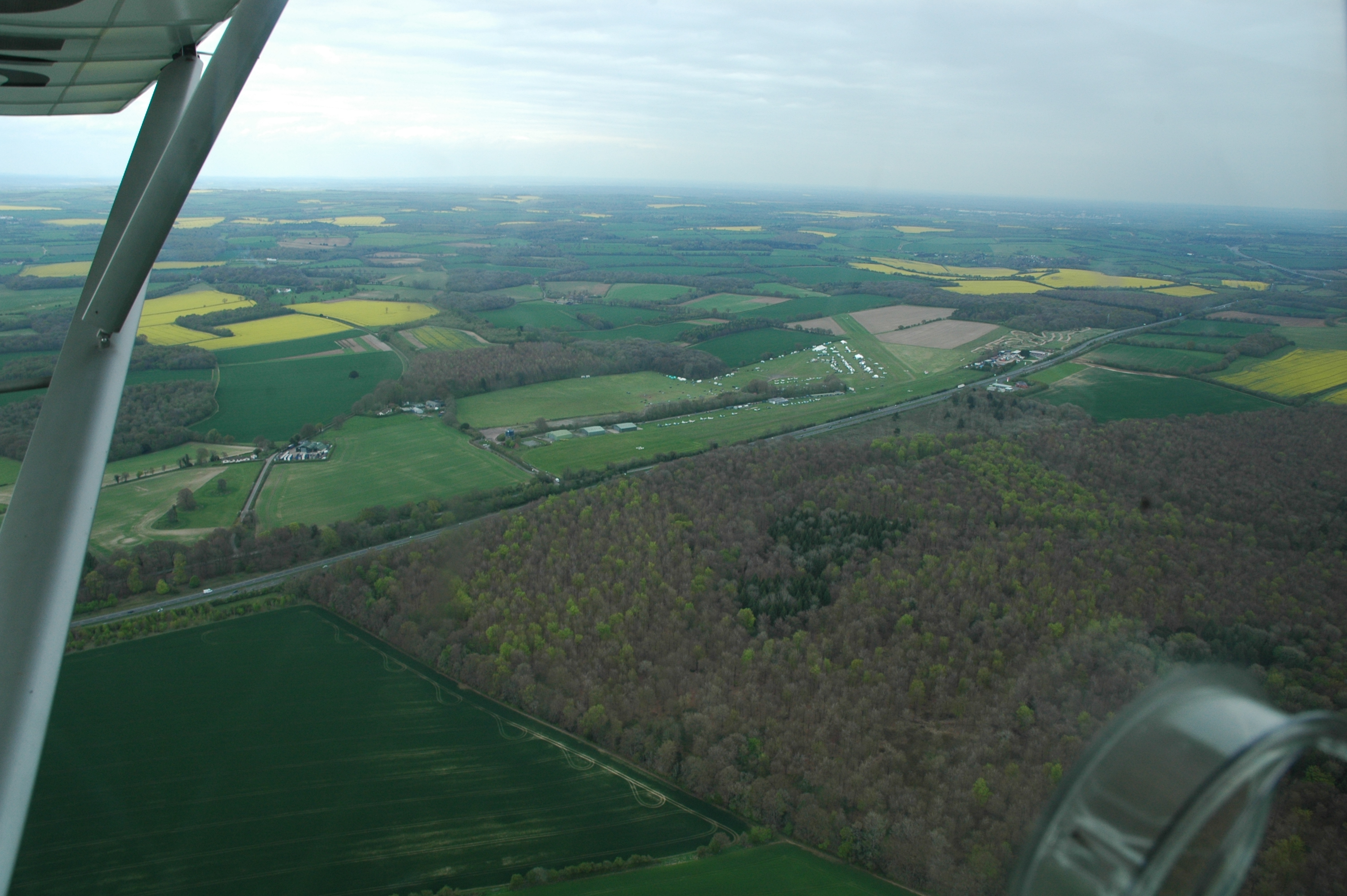
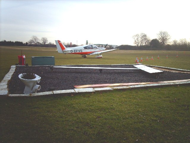
Popham Airfield
Popham Airfield (ICAO: EGHP) is an unlicensed airfield located 6 NM (11 km; 6.9 mi) south west of Basingstoke in Hampshire, UK. It lies alongside the...

Micheldever Spoil Heaps
Micheldever Spoil Heaps is a 32.1-hectare (79-acre) biological Site of Special Scientific Interest in Micheldever in Hampshire.This site is composed of...

Popham, Hampshire
Popham is a hamlet and civil parish south of Basingstoke, Hampshire, England. According to the Post Office the population of the 2011 Census was included...

A33 road
The A33 is a major road in the counties of Berkshire and Hampshire in southern England. The road currently runs in three disjoint sections. == Route... ==
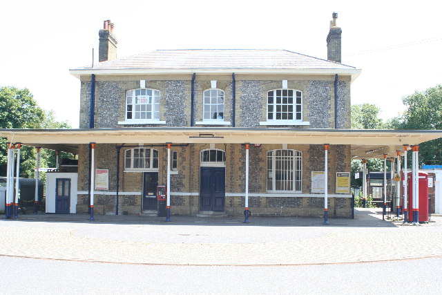
Micheldever railway station
Micheldever railway station, in the village of Micheldever Station, serves Micheldever (approximately 2 miles (3.2 km) to the south) and the surrounding...

Protyre
Micheldever Tyre Services Ltd, trading as Protyre, is primarily focused on the fast fitting of motor vehicles, specialising in tyres, brakes, exhausts...
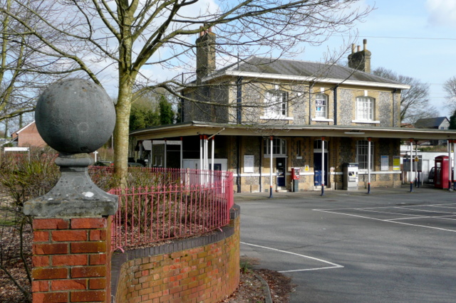
Micheldever Station
Micheldever Station is a village in the civil parish of Micheldever in the City of Winchester, which is in turn a district of the county of Hampshire,...
Woodmancott
Woodmancott is a village and former civil parish, now in the parish of Micheldever, in the Winchester district of Hampshire, England. Its nearest town...
Nearby Amenities
Located within 500m of 51.194343,-1.2287593Have you been to Cocksford Down?
Leave your review of Cocksford Down below (or comments, questions and feedback).