Oaken Copse
Wood, Forest in Hampshire Basingstoke and Deane
England
Oaken Copse
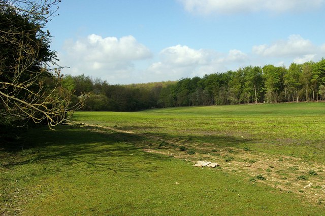
Oaken Copse, located in Hampshire, England, is a picturesque woodland area renowned for its natural beauty and rich biodiversity. Spanning approximately 100 acres, this enchanting forest is a haven for nature enthusiasts and outdoor lovers alike.
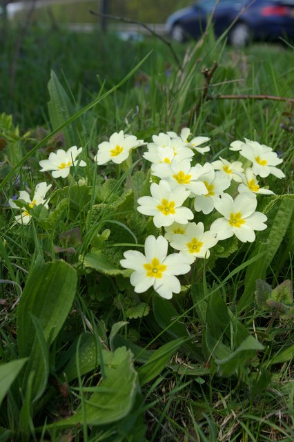
The copse is predominantly characterized by a dense canopy of oak trees, which lend the woodland its name. These majestic trees, some of which are several hundred years old, create a serene and tranquil atmosphere throughout the forest. The woodland floor is blanketed with a carpet of wildflowers, including bluebells, primroses, and wood anemones, which burst into a riot of colors during the spring season.
Walking through Oaken Copse, visitors can enjoy a network of well-maintained footpaths that wind their way through the forest, offering breathtaking views of the surrounding landscape. The paths meander alongside babbling brooks and small ponds, providing the perfect opportunity for a peaceful stroll or a leisurely picnic.
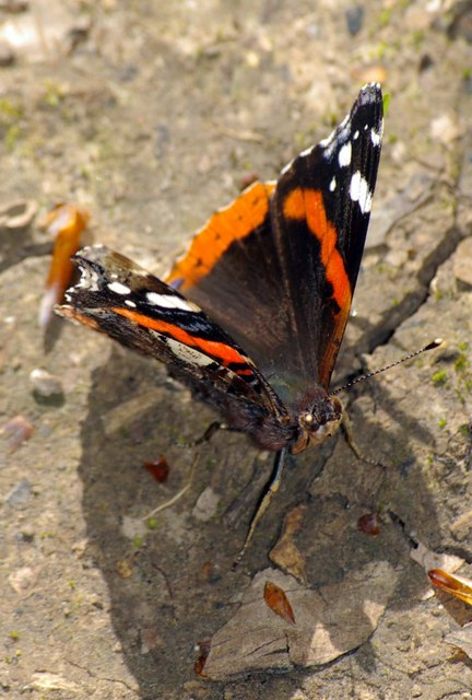
Wildlife thrives within the copse, with an abundance of bird species, including woodpeckers and tawny owls, nesting among the trees. The forest is also home to a variety of mammals, such as deer, foxes, and badgers, which can occasionally be spotted in the early morning or at dusk.
Oaken Copse is managed by a local conservation organization, ensuring that the woodland remains protected and preserved for future generations to enjoy. Regular events and guided walks are organized throughout the year, allowing visitors to learn more about the copse's flora, fauna, and history.
In summary, Oaken Copse is a captivating woodland oasis in the heart of Hampshire, where visitors can immerse themselves in the beauty of nature and experience a true sense of tranquility.
If you have any feedback on the listing, please let us know in the comments section below.
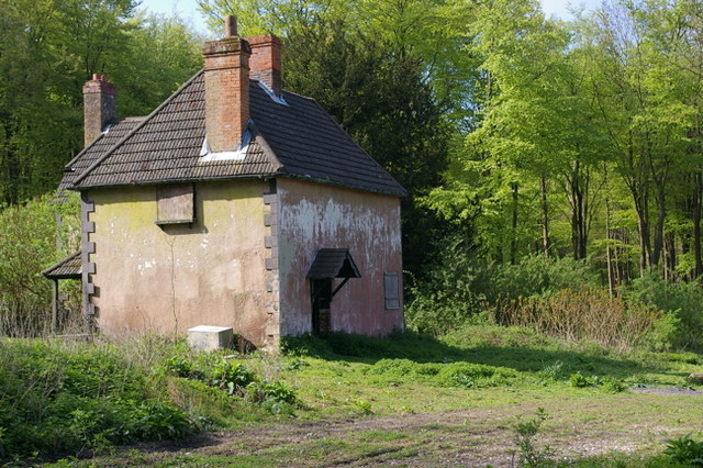
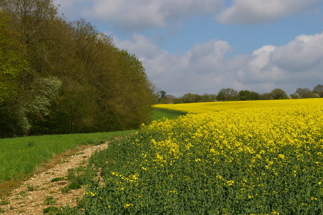
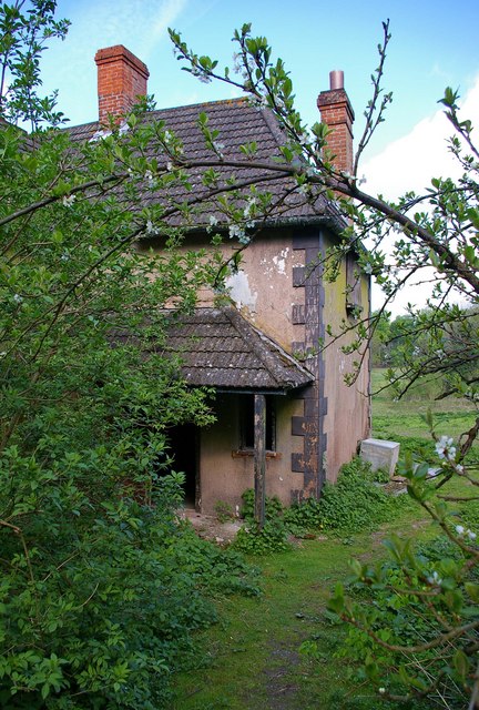
Oaken Copse Images
Images are sourced within 2km of 51.197456/-1.2372086 or Grid Reference SU5344. Thanks to Geograph Open Source API. All images are credited.


Oaken Copse is located at Grid Ref: SU5344 (Lat: 51.197456, Lng: -1.2372086)
Administrative County: Hampshire
District: Basingstoke and Deane
Police Authority: Hampshire
What 3 Words
///visa.tungsten.cost. Near Overton, Hampshire
Nearby Locations
Related Wikis
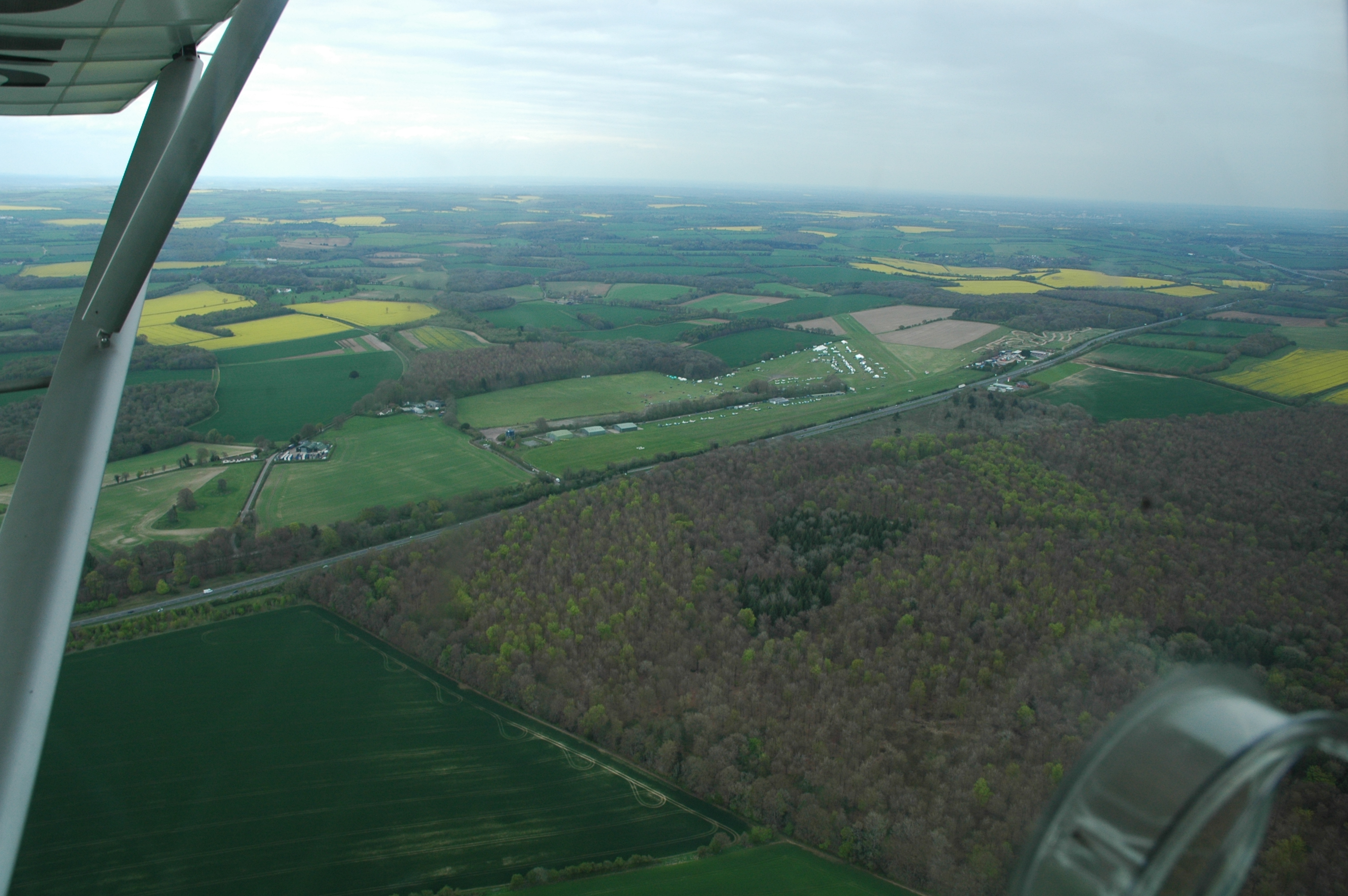
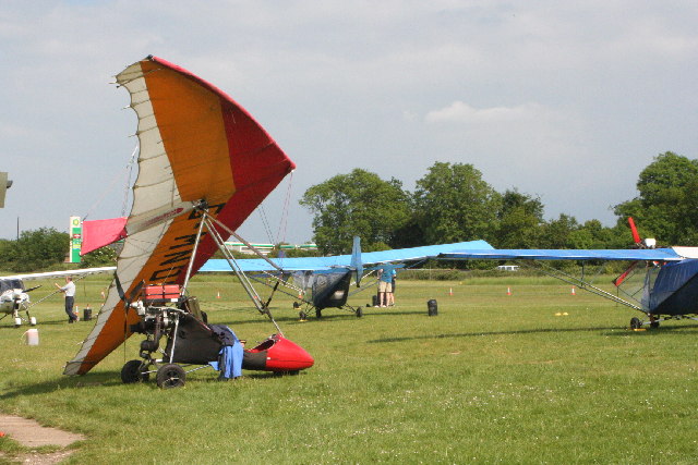
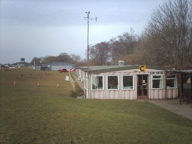
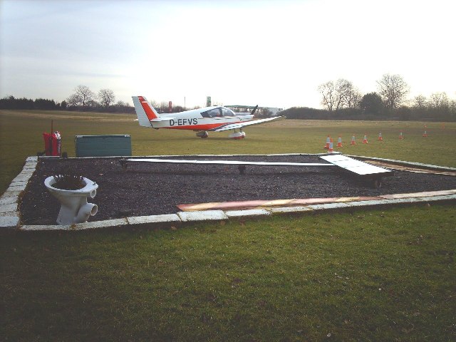
Popham Airfield
Popham Airfield (ICAO: EGHP) is an unlicensed airfield located 6 NM (11 km; 6.9 mi) south west of Basingstoke in Hampshire, UK. It lies alongside the...

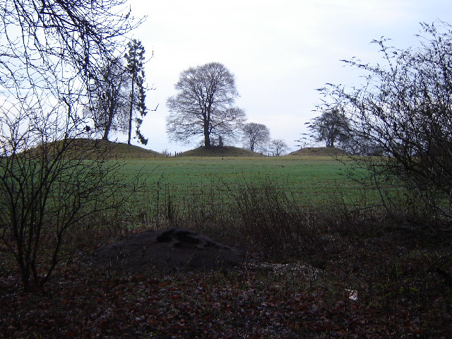
Micheldever Spoil Heaps
Micheldever Spoil Heaps is a 32.1-hectare (79-acre) biological Site of Special Scientific Interest in Micheldever in Hampshire.This site is composed of...
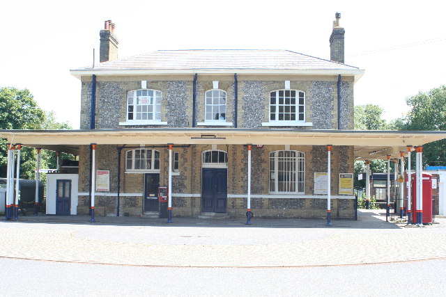
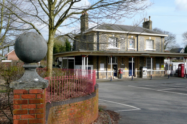
Micheldever railway station
Micheldever railway station, in the village of Micheldever Station, serves Micheldever (approximately 2 miles (3.2 km) to the south) and the surrounding...

Protyre
Micheldever Tyre Services Ltd, trading as Protyre, is primarily focused on the fast fitting of motor vehicles, specialising in tyres, brakes, exhausts...
Micheldever Station
Micheldever Station is a village in the civil parish of Micheldever in the City of Winchester, which is in turn a district of the county of Hampshire,...

Popham, Hampshire
Popham is a hamlet and civil parish south of Basingstoke, Hampshire, England. According to the Post Office the population of the 2011 Census was included...

A33 road
The A33 is a major road in the counties of Berkshire and Hampshire in southern England. The road currently runs in three disjoint sections. == Route... ==
Laverstoke Park Farm
Laverstoke Park Farm is a farm near Overton, Hampshire, England, owned by 1979 Formula One World Champion, Jody Scheckter. == Background == The farm is...
Nearby Amenities
Located within 500m of 51.197456,-1.2372086Have you been to Oaken Copse?
Leave your review of Oaken Copse below (or comments, questions and feedback).