Jack's Green

Settlement in Gloucestershire Stroud

England

Jack's Green

Tibbiwell Lane, Painswick This road runs east and then SE down the hill to Brookhouse Mill.
Tibbiwell Lane, Painswick Credit: Penny Mayes

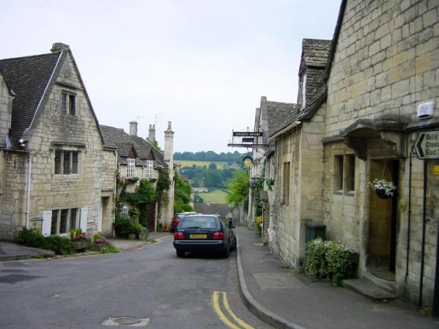
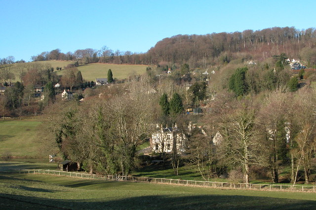
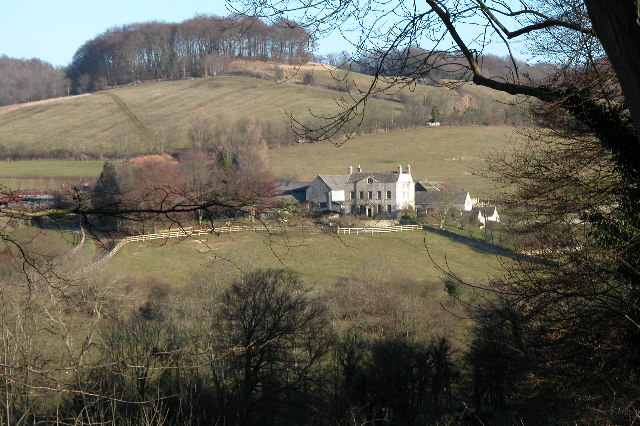
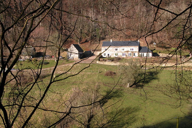
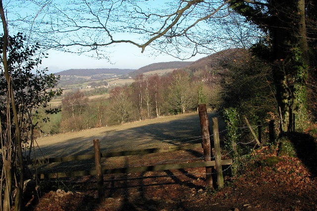
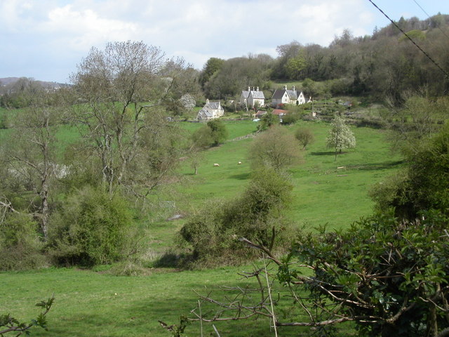
Jack's Green is a small village located in Gloucestershire, England. Nestled in the picturesque Cotswold countryside, it is known for its idyllic rural charm and stunning natural beauty. The village is situated approximately 10 miles southwest of Gloucester and is easily accessible via the A417 road.

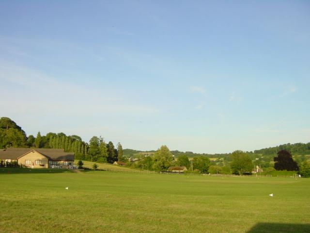
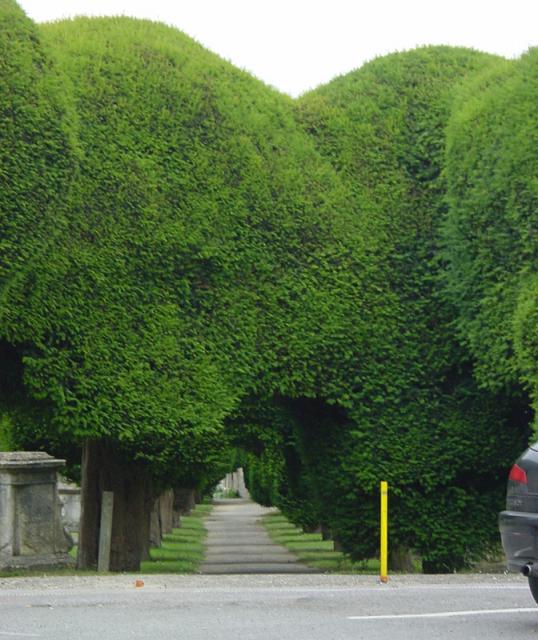
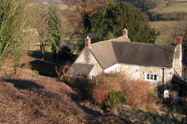
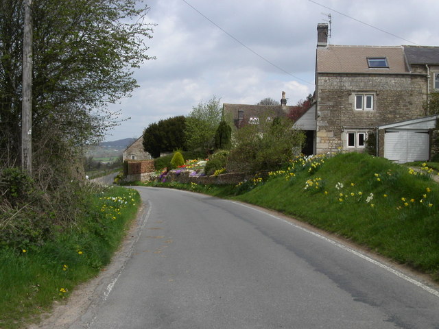
Jack's Green is home to a close-knit community, with a population of around 300 residents. The village is characterized by its quaint cottages, many of which date back several centuries, giving it a timeless and traditional feel. The surrounding landscape is predominantly rolling hills, lush green fields, and ancient woodlands, making it a haven for nature lovers and outdoor enthusiasts.

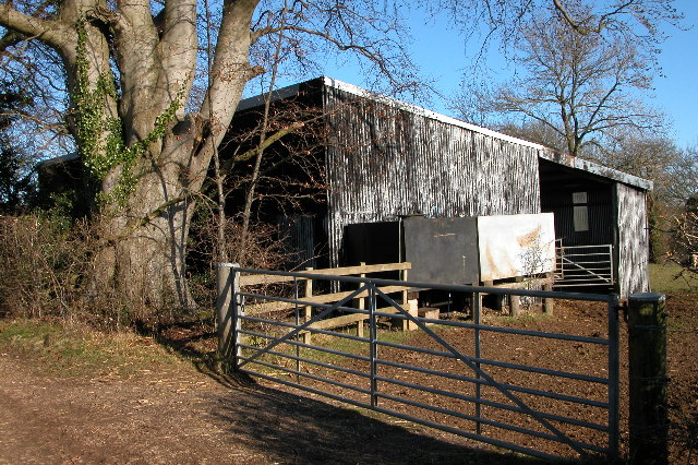
Despite its small size, Jack's Green boasts several amenities that cater to the needs of its residents. These include a local pub, a village hall, and a primary school, providing a sense of community and convenience. The village is also well-connected, with regular bus services to nearby towns and cities, ensuring easy access to essential facilities and services.

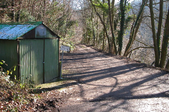
For those seeking recreational activities, Jack's Green offers ample opportunities for walking, cycling, and exploring the countryside. The village is surrounded by a network of footpaths and trails, allowing residents and visitors to immerse themselves in the natural beauty of the area.

Overall, Jack's Green is a charming and tranquil village, offering a peaceful retreat from the hustle and bustle of city life. Its unspoiled countryside, friendly community, and range of amenities make it an ideal place to live for those seeking a quintessential English village experience.

If you have any feedback on the listing, please let us know in the comments section below.
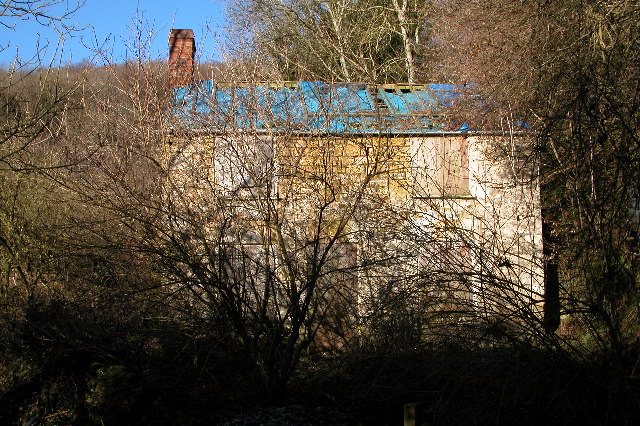
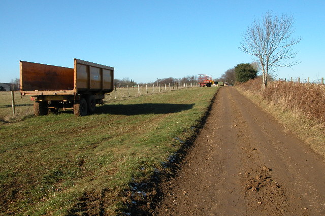
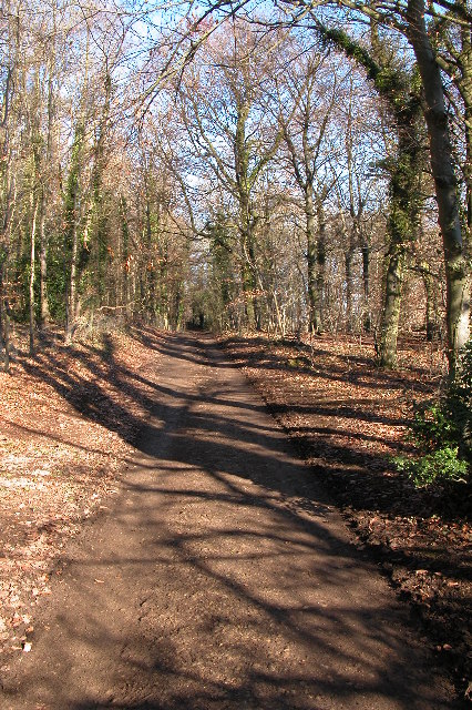
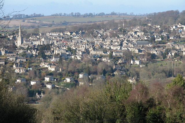
Jack's Green Images

Images are sourced within 2km of 51.779535/-2.1753424 or Grid Reference SO8809. Thanks to Geograph Open Source API. All images are credited.

Tibbiwell Lane, Painswick This road runs east and then SE down the hill to Brookhouse Mill.
Tibbiwell Lane, Painswick
This road runs east and then SE down the hill to Brookhouse Mill.
Painswick Rugby Club Looking SE.
Painswick Rugby Club
Looking SE.
Painswick churchyard The avenues of yew trees form tunnels around the church.
Painswick churchyard
The avenues of yew trees form tunnels around the church.
St Mary's Church, Painswick, Gloucestershire St Mary's Church Painswick is renowned for the magnificent yew trees in the churchyard.  There is also an annual "Clypping ceremony". This ancient religious ceremony has nothing to do with the trees but is the embracing of the church by children of the parish carrying nosegays and singing hymns.  The event is held in September.
St Mary's Church, Painswick, Gloucestershire
St Mary's Church Painswick is renowned for the magnificent yew trees in the churchyard. There is also an annual "Clypping ceremony". This ancient religious ceremony has nothing to do with the trees but is the embracing of the church by children of the parish carrying nosegays and singing hymns. The event is held in September.
Slad The village of Slad lies in one of the valleys above Stroud and is famous as the home of writer Laurie Lee and the setting for his book 'Cider with Rosie'.
Slad
The village of Slad lies in one of the valleys above Stroud and is famous as the home of writer Laurie Lee and the setting for his book 'Cider with Rosie'.
Down Farm, Slad Down Farm and Downhill Mound, the hill with the clump of trees, viewed from across the valley from Redding Wood.
Down Farm, Slad
Down Farm and Downhill Mound, the hill with the clump of trees, viewed from across the valley from Redding Wood.
Woodland track through Piedmont This track passes a few isolated cottages at the top end of the Slad valley.
Woodland track through Piedmont
This track passes a few isolated cottages at the top end of the Slad valley.
Dillay in the upper Slad valley
Derelict cottage in the Slad valley Cottage in the top end of the Slad valley.
Derelict cottage in the Slad valley
Cottage in the top end of the Slad valley.
Farm trailers near Down Barn Farm, Slad
Track through woodland on Down Hill, Slad
Painswick viewed from across the valley This is a view of Painswick from the south-east, the picture is from the Slad Road near The Frith.
Painswick viewed from across the valley
This is a view of Painswick from the south-east, the picture is from the Slad Road near The Frith.
The Frith The Frith is woodland on a hill between Slad and Painswick, this is a view from The Frith to the north
The Frith
The Frith is woodland on a hill between Slad and Painswick, this is a view from The Frith to the north
Farm building to the north of Worgan's Farm, Slad This farm building is on top of a hill above the village of Slad.
Farm building to the north of Worgan's Farm, Slad
This farm building is on top of a hill above the village of Slad.
Holy Trinity Church, Slad
Rose Bank, cottage in the village of Slad A fairly typical Cotswold-stone cottage in the Slad valley.  In fact this one is the former home of the late Laurie Lee, the author whose book, 'Cider with Rosie' reflected on his childhood in the Slad valley.  The cottage is Grade II listed.

Historic England description
PAINSWICK SLAD SO 80 NE 5/301 Rose Bank II Detached cottage. Early C18 front, C19 back wing. Coursed and squared rubble, concrete tile roof, large external gable stack on outer end of wing and 2 small gable stacks to main blocks. A T-plan, with symmetrical north facing main block to which long service wing probably added later. North front is 2½ storeys, 5-windowed, three 2-light gabled dormers with some leaded glazing over 3:2:2:3- light transomed casements at first and ground floors, all to wood lintels, but window 2 is blank at each level. C18 wide plank door in chamfered surround centrally. Back wing includes two 3-light chamfer mullioned casements with stopped drip and a lean-to in the internal angle, and a 2-light over plank door, also a 3-light dormer. Interior: various chamfered beams and C19 plank and rail doors. Birthplace of Laurie Lee, who still was in the house (April 1984). Not to be confused with Rose Cottage (q.v.).
Source: <span class="nowrap"><a title="https://www.historicengland.org.uk/listing/the-list/list-entry/1153653" rel="nofollow ugc noopener" href="https://www.historicengland.org.uk/listing/the-list/list-entry/1153653">Link</a><img style="margin-left:2px;" alt="External link" title="External link - shift click to open in new window" src="https://s1.geograph.org.uk/img/external.png" width="10" height="10"/></span>
Rose Bank, cottage in the village of Slad
A fairly typical Cotswold-stone cottage in the Slad valley. In fact this one is the former home of the late Laurie Lee, the author whose book, 'Cider with Rosie' reflected on his childhood in the Slad valley. The cottage is Grade II listed. Historic England description PAINSWICK SLAD SO 80 NE 5/301 Rose Bank II Detached cottage. Early C18 front, C19 back wing. Coursed and squared rubble, concrete tile roof, large external gable stack on outer end of wing and 2 small gable stacks to main blocks. A T-plan, with symmetrical north facing main block to which long service wing probably added later. North front is 2½ storeys, 5-windowed, three 2-light gabled dormers with some leaded glazing over 3:2:2:3- light transomed casements at first and ground floors, all to wood lintels, but window 2 is blank at each level. C18 wide plank door in chamfered surround centrally. Back wing includes two 3-light chamfer mullioned casements with stopped drip and a lean-to in the internal angle, and a 2-light over plank door, also a 3-light dormer. Interior: various chamfered beams and C19 plank and rail doors. Birthplace of Laurie Lee, who still was in the house (April 1984). Not to be confused with Rose Cottage (q.v.). Source: LinkExternal link
Longridge Village Longridge overlooks Painswick which lies 1Km to the West.
Longridge Village
Longridge overlooks Painswick which lies 1Km to the West.
Farmland at Wick Street Cotswold farmland close to Painswick. The houses are on Wick street a lane that runs between the Painswick Old road and Stepping Stone lane. An old link between Painswick and Stroud.
Farmland at Wick Street
Cotswold farmland close to Painswick. The houses are on Wick street a lane that runs between the Painswick Old road and Stepping Stone lane. An old link between Painswick and Stroud.
Show me another place!

Jack's Green is located at Grid Ref: SO8809 (Lat: 51.779535, Lng: -2.1753424)

Administrative County: Gloucestershire

District: Stroud

Police Authority: Gloucestershire

What 3 Words

///stolen.gazette.lows. Near Painswick, Gloucestershire

Related Wikis

Bull Cross, The Frith and Juniper Hill

Bull Cross, The Frith and Juniper Hill (grid reference SO872083) is a 42.33-hectare (104.6-acre) biological and geological Site of Special Scientific Interest...

Snows Farm Nature Reserve

Snows Farm Nature Reserve (grid reference SO887081) is a 21.3-hectare (53-acre) nature reserve in Gloucestershire. The site is listed in the ‘Stroud District...

Court House, Painswick

The Court House is a grade I listed house in Hale Lane, Painswick, Gloucestershire, England, within the Cotswolds. The house was built in the late 16th...
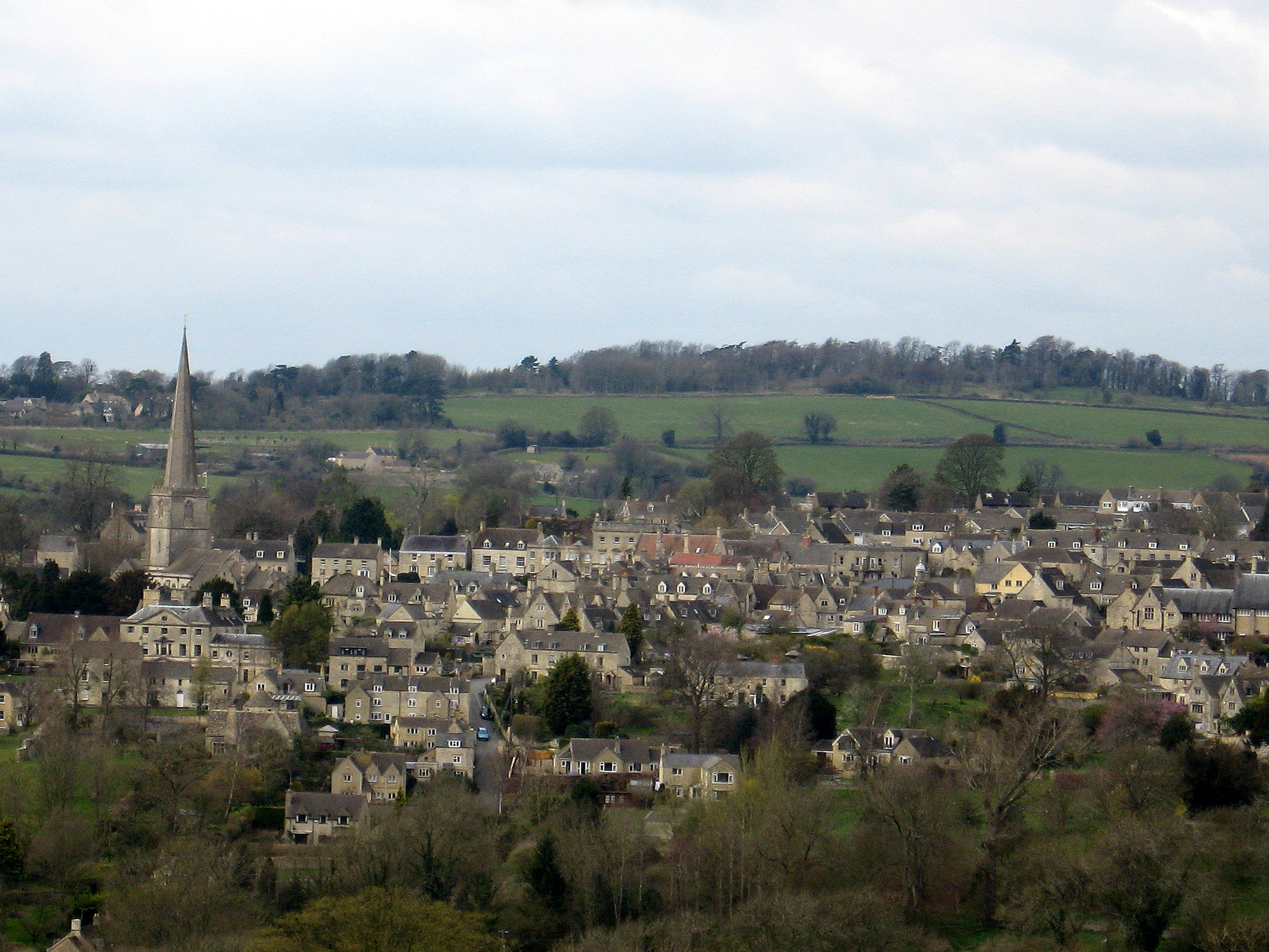
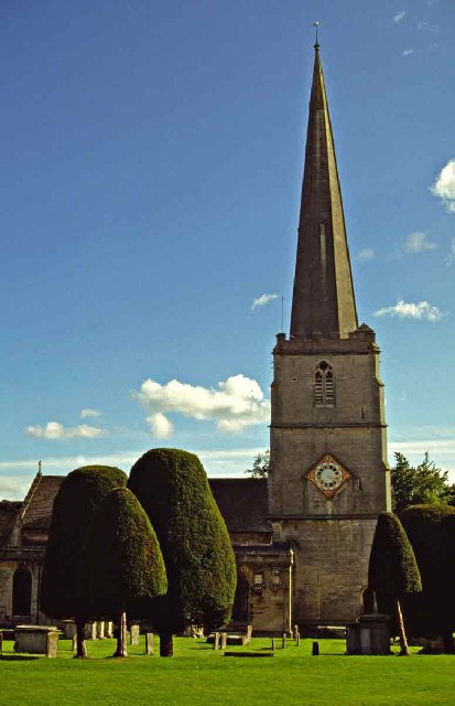
Painswick

Painswick is a town and civil parish in the Stroud District in Gloucestershire, England. Originally the town grew from the wool trade, but it is now best...

Painswick Town Hall

Painswick Town Hall is a municipal building in Victoria Square, Painswick, Gloucestershire, England. The building, which is used as an events venue and...

Slad

Slad is a village in Gloucestershire, England, in the Slad Valley about 2 miles (3 km) from Stroud on the B4070 road from Stroud to Birdlip. Slad is notable...

Beacon House

Beacon House is a grade I listed townhouse at New Street, Painswick, Gloucestershire, England. == History == The Palladian house was built in 1766, possibly...

Painswick Lodge

Painswick Lodge is a grade I listed house in Painswick, Gloucestershire, England. The rubble stone building, which has been extensively reworked and remodelled...

Related Videos

A Breathtaking Walk in a Cotswold Village with Dramatic Views

So, today we are out and about walking in the small Cotswold village of Sheepscombe which is located approximately 10 km (6.5 ...

Walking at First Light Through a Beautiful Cotswold Village

So, today we are out and about walking at very first light in the village Of Bisley which is located around 4 miles east of Stroud in ...

Serene & Tranquil Early Morning Walk in Painswick | Cotswolds

So, today we are Out and about Walking in the town of Painswick which is a concluding walk following on from this video ...

Nearby Amenities

Located within 500m of 51.779535,-2.1753424
Bulls Cross
Is In: Gloucestershire, England, UK
Is In District: Stroud
Is In Parish: Slad
Place: hamlet
Lat/Long: 51.7773587/-2.1794301
Longridge
Is In: Gloucestershire, England, UK
Is In Parish: Painswick
Place: hamlet
Lat/Long: 51.7807031/-2.1778332
Bus Stop
Bulls Cross Triangle
Bus: yes
Naptan AtcoCode: 1600GLA26369
Naptan Bearing: SW
Naptan CommonName: Bulls Cross Triangle
Naptan NaptanCode: glogpmdm
Naptan Street: Sheepscombe Road
Naptan Verified: no
Public Transport: platform
Source: naptan_import
Lat/Long: 51.7779836/-2.1784034
Bus Stop
Bulls Cross
Bus: yes
Naptan AtcoCode: 1600GLS567
Naptan Bearing: N
Naptan CommonName: Bulls Cross
Naptan NaptanCode: glodjpjg
Naptan PlusbusZoneRef: STRUD
Naptan Street: B4070
Naptan Verified: no
Public Transport: platform
Source: naptan_import
Lat/Long: 51.7768851/-2.1794717
Bus Stop
Bulls Cross
Bus: yes
Naptan AtcoCode: 1600GLS568
Naptan Bearing: S
Naptan CommonName: Bulls Cross
Naptan NaptanCode: glodjpjd
Naptan PlusbusZoneRef: STRUD
Naptan Street: B4070
Naptan Verified: no
Public Transport: platform
Source: naptan_import
Lat/Long: 51.7766422/-2.1795432
Bus Stop
Dell Farm Ln
Naptan AtcoCode: 1600GLS569
Naptan Bearing: N
Naptan BusStopType: CUS
Naptan CommonName: Dell Farm Ln
Naptan NaptanCode: glodjptg
Naptan PlusbusZoneRef: STRUD
Naptan Street: Sheepscombe Rd
Naptan Verified: no
Source: naptan_import
Lat/Long: 51.7815643/-2.1769969
Bus Stop
Dell Farm Ln
Naptan AtcoCode: 1600GLS570
Naptan Bearing: S
Naptan CommonName: Dell Farm Ln
Naptan NaptanCode: glodjptw
Naptan PlusbusZoneRef: STRUD
Naptan Street: Sheepscombe Rd
Naptan Verified: no
Source: naptan_import
Lat/Long: 51.7818074/-2.176795
Power: pole
Lat/Long: 51.781731/-2.1737561
Power: pole
Lat/Long: 51.7825175/-2.1745394
Power: pole
Lat/Long: 51.7828676/-2.1764102
Power: pole
Lat/Long: 51.7823906/-2.1747567
Power: pole
Lat/Long: 51.7819783/-2.1726431
Power: pole
Lat/Long: 51.7823866/-2.1738336
Power: pole
Lat/Long: 51.7830509/-2.1778908
Power: pole
Lat/Long: 51.7831937/-2.1778425
Power: pole
Lat/Long: 51.7821815/-2.1737267
Power: pole
Lat/Long: 51.7827274/-2.1763968
Power: pole
Lat/Long: 51.7823774/-2.171027
Power: pole
Lat/Long: 51.7829786/-2.1738999
Power: pole
Lat/Long: 51.7821384/-2.1725438
Power: pole
Lat/Long: 51.7822106/-2.1711746
Power: pole
Lat/Long: 51.7808876/-2.171802
Power: pole
Lat/Long: 51.7809131/-2.1736777
Power: pole
Lat/Long: 51.7837581/-2.1739714
Power: pole
Lat/Long: 51.7799382/-2.1729508
Power: pole
Lat/Long: 51.7804377/-2.1733263
Power: pole
Lat/Long: 51.7757336/-2.1780074
Power: pole
Lat/Long: 51.7781433/-2.1737454
Power: pole
Lat/Long: 51.7761226/-2.1798351
Power: pole
Lat/Long: 51.7772256/-2.1756578
Power: pole
Lat/Long: 51.7759204/-2.1788899
Power: pole
Lat/Long: 51.7764282/-2.1774804
The data included in this document is from www.openstreetmap.org. The data is made available under ODbL.

Have you been to Jack's Green?

Leave your review of Jack's Green below (or comments, questions and feedback).