Jack's Green
Settlement in Essex Uttlesford
England
Jack's Green
Jack's Green is a small village located in the county of Essex, in the eastern part of England. Situated near the town of Chelmsford, it is nestled amidst picturesque countryside and offers a tranquil and idyllic setting for its residents. With a population of approximately 500 people, it maintains a close-knit community atmosphere.
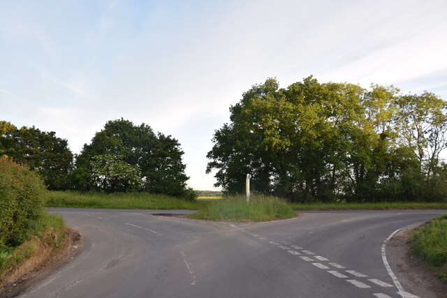
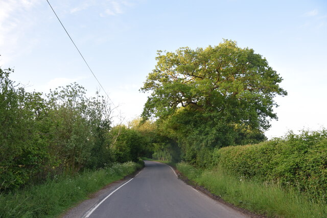
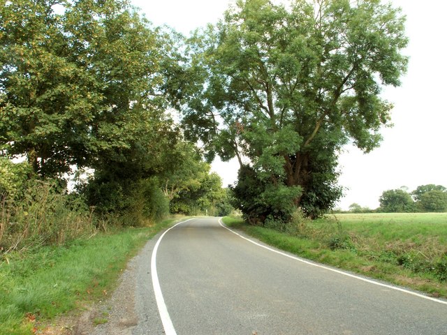
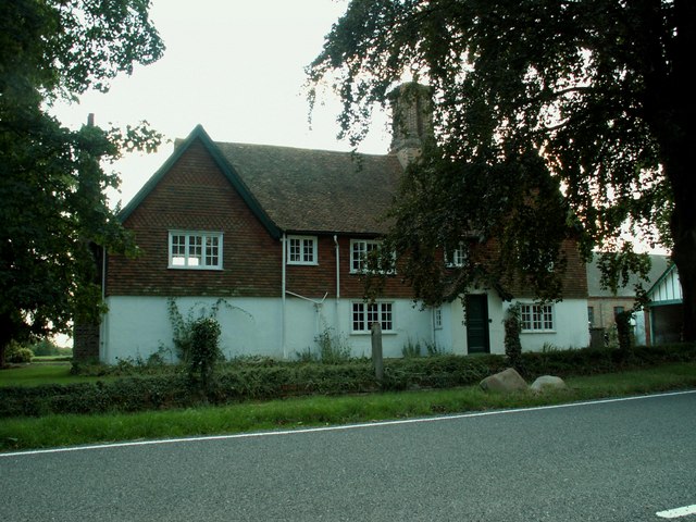
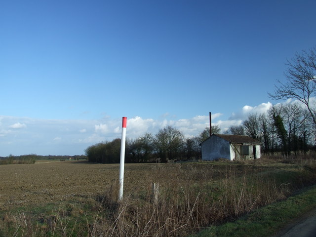
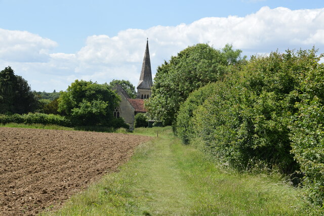
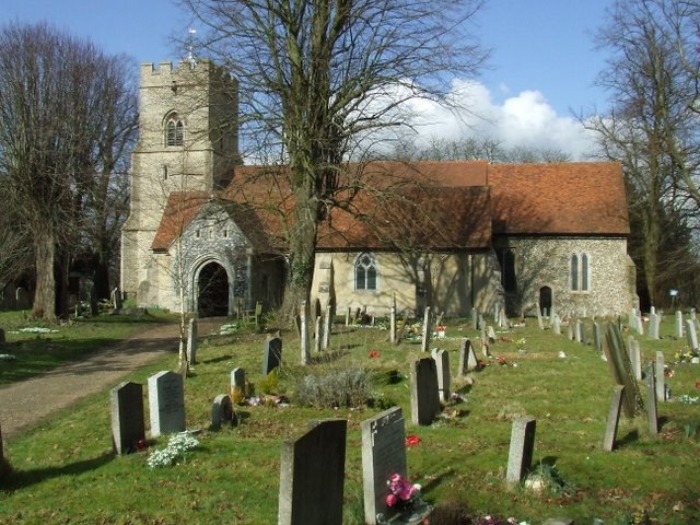
The village is known for its quaint charm, characterized by traditional English architecture and a peaceful ambiance. Its well-preserved buildings, including old cottages and farmhouses, add to the village's historic appeal. The surrounding green fields and meadows provide a scenic backdrop, making it a popular destination for nature enthusiasts and hikers.
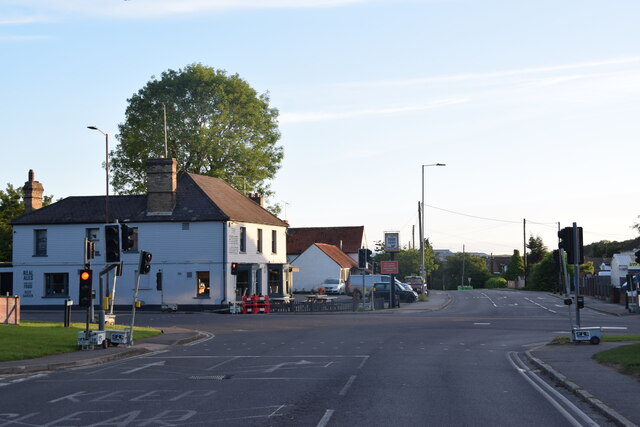
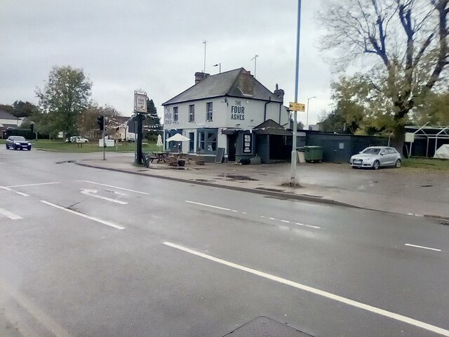
In terms of amenities, Jack's Green offers a range of facilities to cater to its residents' needs. These include a local primary school, a village hall that serves as a community center for various events and gatherings, and a small park where families can enjoy recreational activities. Additionally, there is a village pub that serves as a social hub for locals and visitors alike, providing a warm and friendly atmosphere.
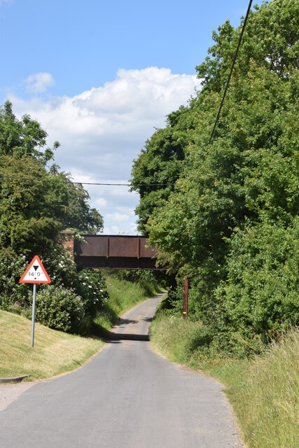
Despite its rural setting, Jack's Green benefits from its proximity to nearby towns and cities. Residents have easy access to essential services, shopping centers, and employment opportunities in Chelmsford. The village is also well-connected via road networks, allowing for convenient travel to other parts of Essex and beyond.
Overall, Jack's Green offers a charming countryside lifestyle with a strong sense of community, making it an appealing place to live for those seeking a peaceful and picturesque retreat in Essex.
If you have any feedback on the listing, please let us know in the comments section below.
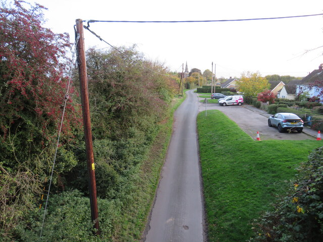
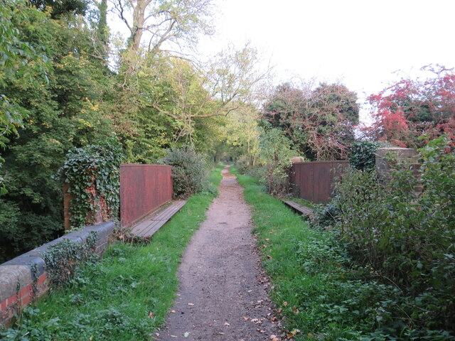
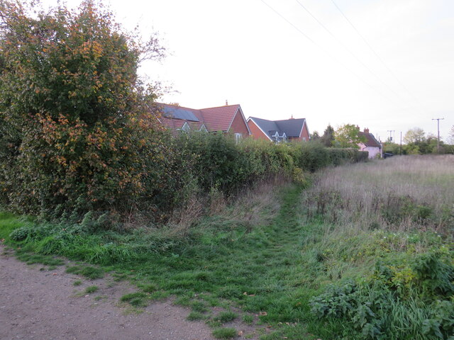
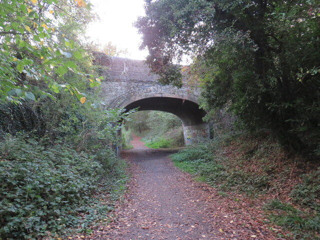
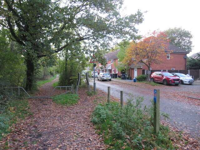
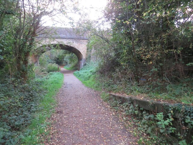
Jack's Green Images
Images are sourced within 2km of 51.865491/0.27878674 or Grid Reference TL5721. Thanks to Geograph Open Source API. All images are credited.


Jack's Green is located at Grid Ref: TL5721 (Lat: 51.865491, Lng: 0.27878674)
Administrative County: Essex
District: Uttlesford
Police Authority: Essex
What 3 Words
///staining.tramps.frown. Near Takeley, Essex
Nearby Locations
Related Wikis

Takeley F.C.
Takeley Football Club is an English football club based in Takeley, Essex. The club are currently members of the Essex Senior League and play at Station...

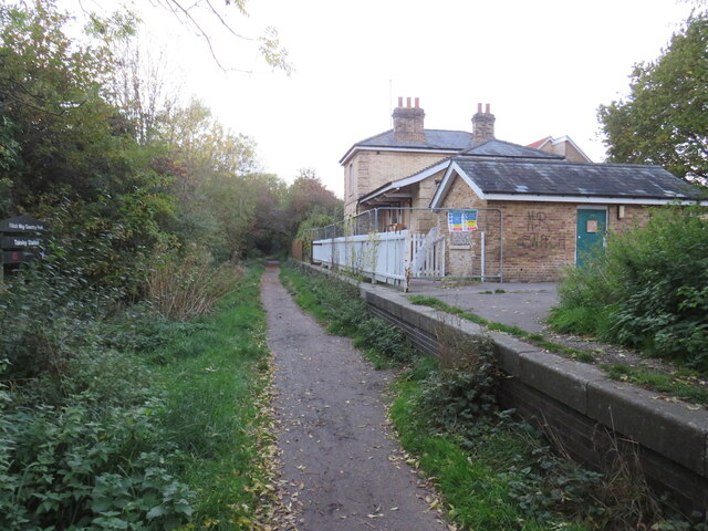
Takeley railway station
Takeley railway station was a station serving the Hockerill area of Takeley in Bishop's Stortford, England. The station was 5 miles 11 chains (8.27 km...
Takeley
Takeley is a village and civil parish in the Uttlesford district of Essex, England. == History == A number of theories have arisen over the origin of the...
Takeley Priory
Takeley Priory, dedicated to Saint Valery, was a Benedictine monastery in Takeley, Essex, England, founded by William the Conqueror between 1066 and 1086...
The Christian School, Takeley
The Christian School (Takeley) is an independent Christian school located in Takeley, Bishop's Stortford, Essex. The school caters for children of 7 through...

Bamber's Green
Bamber's Green is a hamlet in Essex, England. It is located near to Molehill Green and close to London Stansted Airport. The hamlet has approximately 20...
Stane Street Halt railway station
Stane Street Halt railway station was a station serving the community of Takeley Street to the west of the village of Takeley near Bishop's Stortford,...
Little Canfield
Little Canfield is a village and a civil parish in the Uttlesford district of Essex, England. The village is situated the B1256 road, near the A120 road...
Related Videos
![London Stansted Airport 🇬🇧 - Full Walking Tour (Departure) [4K]](https://i.ytimg.com/vi/vW3Yt7KOcGo/hqdefault.jpg)
London Stansted Airport 🇬🇧 - Full Walking Tour (Departure) [4K]
Full walking tour of London Stansted Airport while departing from London to Helsinki, via Ryanair. The airport was quite bigger ...

Travel Day || Flying From London to VIENNA with Ryanair!!🇦🇹
We're back to international travel today & flying from London to Vienna via Ryanair!! ▻ Subscribe ...

BUDGET AIRLINE SECRET - RYANAIR #shorts
THIS VIDEO exposes the secrets of budget airlines. in this video we show you that you can get free biscuits on a ryan air flight ...

Nearby Amenities
Located within 500m of 51.865491,0.27878674Have you been to Jack's Green?
Leave your review of Jack's Green below (or comments, questions and feedback).