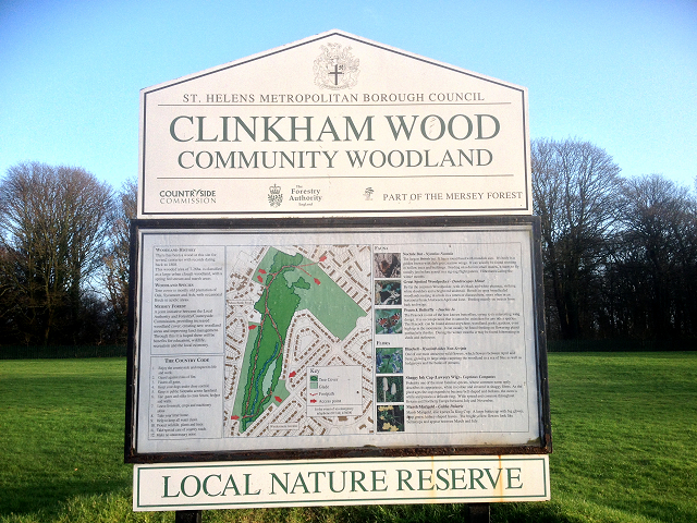
Clinkham Wood
Settlement in Lancashire
England
Clinkham Wood

Clinkham Wood is a picturesque woodland area located in Lancashire, England. Situated near the village of Clinkham, the wood covers an area of approximately 50 acres and is known for its natural beauty and diverse wildlife.
The wood is mainly composed of deciduous trees, including oak, beech, and birch, which create a dense canopy that provides shade and shelter for a variety of flora and fauna. The forest floor is carpeted with an array of wildflowers, mosses, and ferns, creating a vibrant and colorful undergrowth.
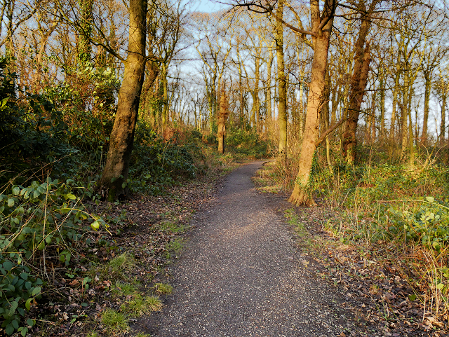
Clinkham Wood is a popular destination for nature enthusiasts and outdoor enthusiasts alike. It offers a network of well-maintained walking trails that wind through the woods, allowing visitors to explore its beauty at their own pace. These paths offer a peaceful retreat, providing opportunities for quiet contemplation and relaxation.
The wood is home to a wide range of wildlife, including various species of birds, mammals, and insects. Birdwatchers can spot woodland birds such as woodpeckers, owls, and various songbirds. Mammals commonly found in the area include foxes, badgers, and squirrels.
The management of Clinkham Wood is overseen by the local authorities, who ensure the preservation of its natural habitats and protect its biodiversity. It is important to note that some areas of the wood may be protected or restricted to maintain the delicate balance of the ecosystem.
Overall, Clinkham Wood in Lancashire is a haven of natural beauty, offering visitors a tranquil escape from the hustle and bustle of everyday life. Its rich biodiversity and stunning landscapes make it a must-visit destination for nature lovers and those seeking a peaceful retreat in the heart of Lancashire.
If you have any feedback on the listing, please let us know in the comments section below.
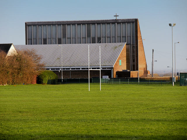
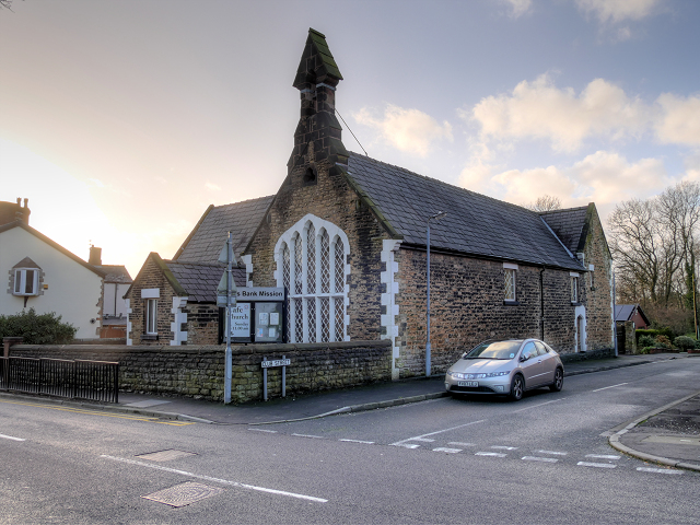
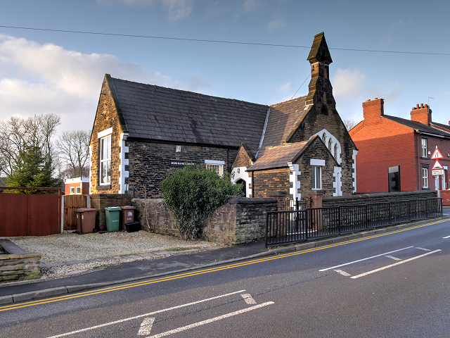
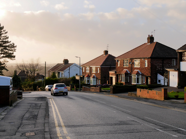
Clinkham Wood Images
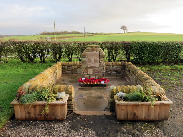
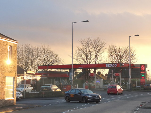
Images are sourced within 2km of 53.479298/-2.7270175 or Grid Reference SJ5198. Thanks to Geograph Open Source API. All images are credited.


Clinkham Wood is located at Grid Ref: SJ5198 (Lat: 53.479298, Lng: -2.7270175)
Unitary Authority: St. Helens
Police Authority: Merseyside
What 3 Words
///meanest.button.rave. Near Billinge, Merseyside
Nearby Locations
Related Wikis

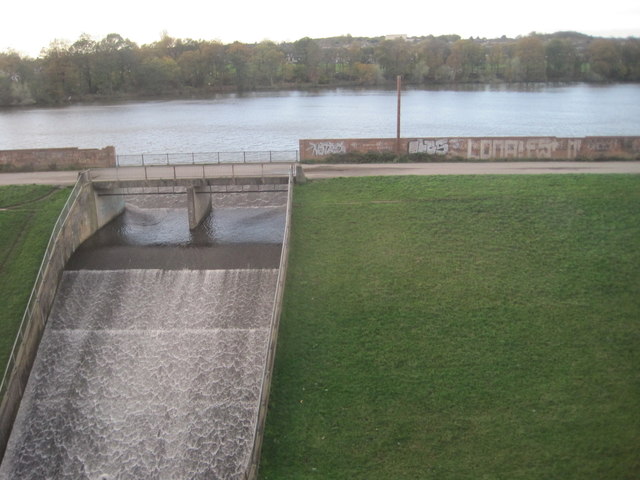
Carr Mill Dam
Carr Mill Dam is situated north of St Helens town centre, on the A571 (Carr Mill Road), in Merseyside. It is the county's largest body of inland water...

Moss Bank railway station
Moss Bank railway station was on the St Helens to Rainford Junction then Ormskirk line on the northern edge of St Helens, England. It opened on 3 February...
Carr Mill railway station
Carr Mill railway station was on the Lancashire Union Railway in the Carr Mill area of St Helens, England. It opened on 1 January 1896 and closed on 1...

St Helens North (UK Parliament constituency)
St. Helens North is a constituency created in 1983 represented in the House of Commons of the UK Parliament since 2015 by the Labour Party's Conor McGinn...
Nearby Amenities
Located within 500m of 53.479298,-2.7270175Have you been to Clinkham Wood?
Leave your review of Clinkham Wood below (or comments, questions and feedback).