Climpy
Settlement in Lanarkshire
Scotland
Climpy
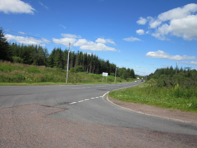
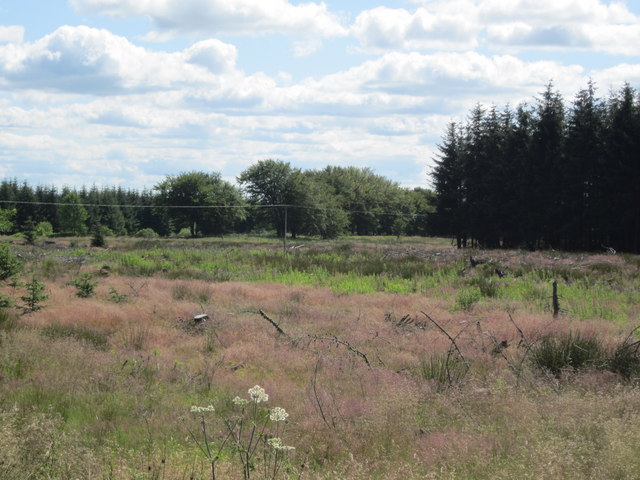
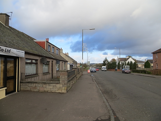
Climpy is a small village located in the county of Lanarkshire, Scotland. Situated approximately 4 miles northwest of the town of Lanark, Climpy is nestled among the picturesque rolling hills and lush green countryside that characterizes this region. With a population of around 300 residents, Climpy exudes a sense of tranquility and close-knit community.
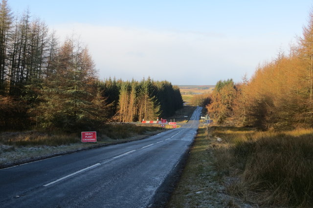
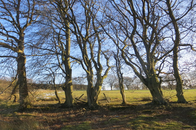
The village is primarily residential, consisting of traditional stone-built houses and cottages. Many of these homes boast beautiful gardens, adding to the charm of the area. The surrounding landscape offers breathtaking views, making it a popular destination for nature enthusiasts and hikers. The nearby Climpy Reservoir provides a serene setting for fishing and boating activities.
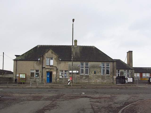
Despite its small size, Climpy has a strong community spirit and is home to several community organizations and clubs. The village hall serves as a hub for various social events including fundraisers, dances, and local gatherings. The nearby primary school is an integral part of the community, providing education for the village's children.
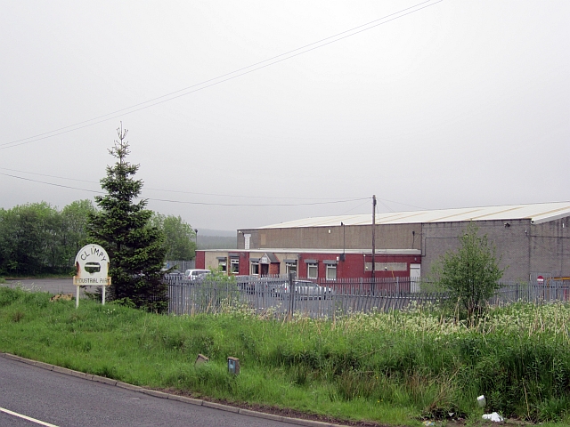
Climpy benefits from its proximity to Lanark, where residents can access a wider range of amenities such as shops, supermarkets, and healthcare facilities. The village also enjoys good transportation links, with regular bus services connecting it to neighboring towns and cities.
Overall, Climpy offers a peaceful and idyllic rural lifestyle, perfect for those seeking a quiet escape from the bustle of city life. With its stunning natural surroundings and tight-knit community, Climpy is a hidden gem in the heart of Lanarkshire.
If you have any feedback on the listing, please let us know in the comments section below.
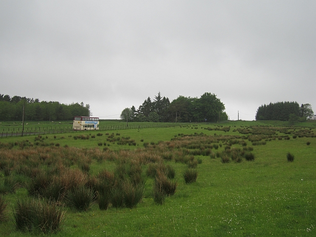
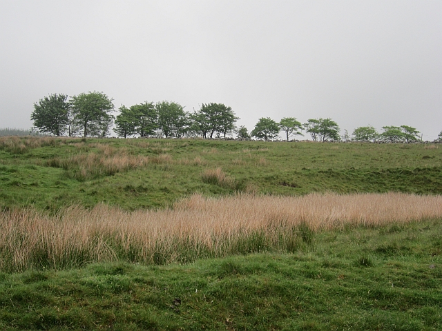
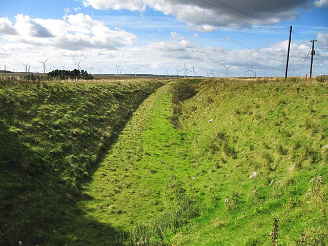
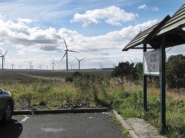
Climpy Images
Images are sourced within 2km of 55.779256/-3.7096332 or Grid Reference NS9255. Thanks to Geograph Open Source API. All images are credited.
Climpy is located at Grid Ref: NS9255 (Lat: 55.779256, Lng: -3.7096332)
Unitary Authority: South Lanarkshire
Police Authority: Lanarkshire
What 3 Words
///shaver.weep.connector. Near Forth, South Lanarkshire
Nearby Locations
Related Wikis

Forth Wanderers F.C.
Forth Wanderers Football Club are a Scottish football club based in the village of Forth, South Lanarkshire. Formed in 1904 they compete in the West of...
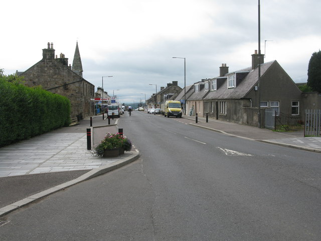
Forth, South Lanarkshire
Forth is a village in South Lanarkshire, Scotland with a population of around 3,500 people. It is situated near Lanark, and stands 1,000 feet (320 metres...

Wilsontown railway station
Wilsontown railway station was the passenger terminus of the three and three quarter mile long Wilsontown Branch that ran from a bay platform at Auchengray...

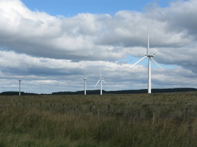
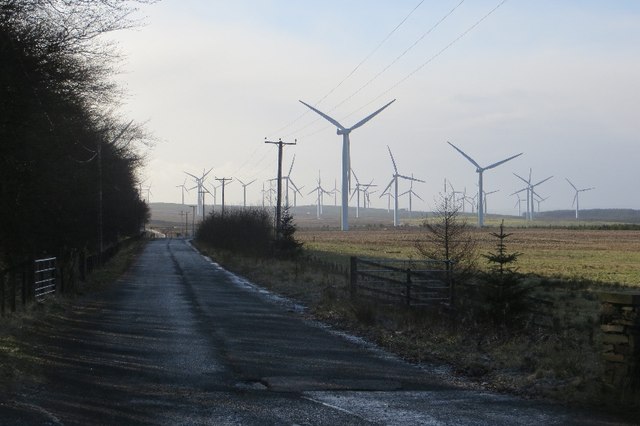
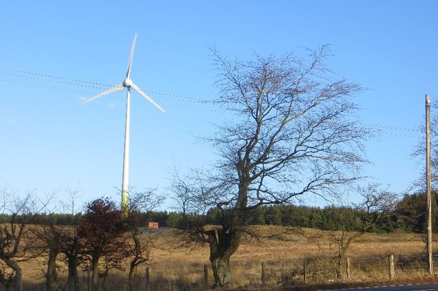
Black Law Wind Farm
The 54-turbine Black Law Wind Farm has a total capacity of 124 megawatts (MW). The first phase of 42 turbines was the largest sufficient to meet the average...
Nearby Amenities
Located within 500m of 55.779256,-3.7096332Have you been to Climpy?
Leave your review of Climpy below (or comments, questions and feedback).