Ceann Shìphoirt
Settlement in Ross-shire
Scotland
Ceann Shìphoirt

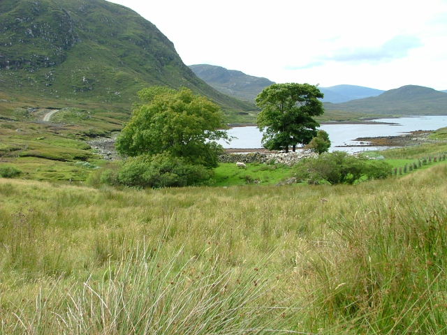
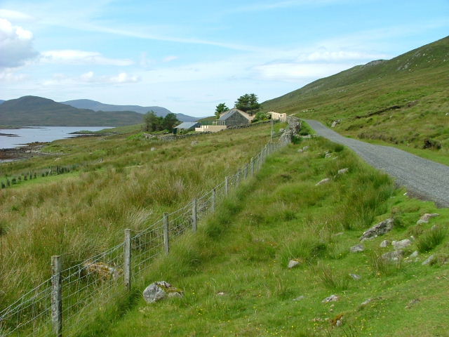
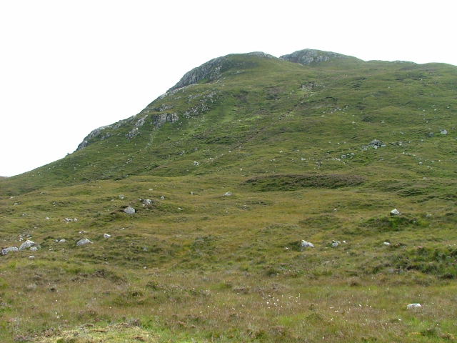
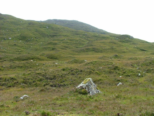
Ceann Shìphoirt, also known as Kishorn, is a small coastal village located in the county of Ross-shire, in the Highland region of Scotland. Situated on the western coast of Scotland, it is nestled between the majestic mountains of the Northwest Highlands and the picturesque shores of Loch Kishorn.
With a population of around 200 residents, Ceann Shìphoirt is a tranquil and close-knit community. The village is renowned for its breathtaking natural beauty, offering stunning views of the surrounding landscapes. Its idyllic location on the shores of Loch Kishorn provides residents and visitors with opportunities for various outdoor activities, including fishing, boating, and hiking.
Ceann Shìphoirt also holds historical significance. In the 1970s, it became the site of a major construction project known as the Kishorn Yard. This facility was responsible for building and launching large offshore oil platforms, including the famous Ninian Central Platform, which was at the time the world's largest movable man-made object.
Although the Kishorn Yard is no longer in operation, its legacy is still visible in the village. The remnants of the dry dock and slipway stand as a testament to the area's industrial past. Today, Ceann Shìphoirt has transitioned into a peaceful residential area, attracting those seeking a serene coastal lifestyle amidst Scotland's awe-inspiring scenery.
The village boasts a small range of amenities, including a community hall, a primary school, and a local pub, which serves as a social hub for residents. While Ceann Shìphoirt may be remote, it offers a unique charm and a close connection to nature that appeals to those seeking a tranquil and picturesque place to call home.
If you have any feedback on the listing, please let us know in the comments section below.
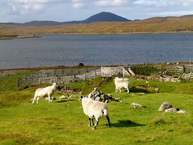
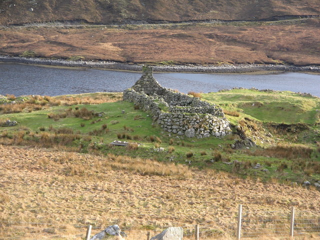
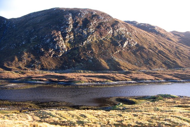
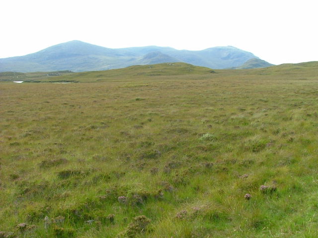
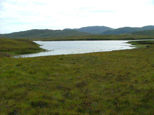
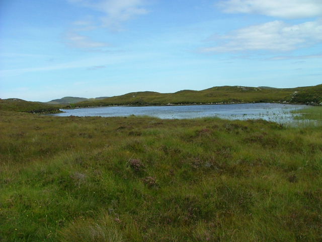
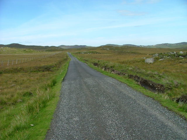
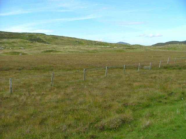
Ceann Shìphoirt Images
Images are sourced within 2km of 58.054635/-6.6043381 or Grid Reference NB2816. Thanks to Geograph Open Source API. All images are credited.


Ceann Shìphoirt is located at Grid Ref: NB2816 (Lat: 58.054635, Lng: -6.6043381)
Unitary Authority: Na h-Eileanan an Iar
Police Authority: Highlands and Islands
What 3 Words
///goodnight.retire.unframed. Near Leurbost, Na h-Eileanan Siar
Nearby Locations
Related Wikis

Airidh a' Bhruaich
Airidh a' Bhruaich (Arivruaich - anglicised) is a scattered crofting township in the South Lochs district of the Isle of Lewis in the Outer Hebrides of...

Balallan
Balallan (Scottish Gaelic: Baile Ailein, Bail' Ailein), meaning "Allan's Town", is a crofting township on the Isle of Lewis, in the Outer Hebrides, Scotland...

Park, Lewis
Park (Scottish Gaelic: A' Phàirc), also known as South Lochs, is a huge area of land connected to the rest of Lewis only by a narrow neck between Loch...
Loch Erisort
Loch Erisort (Scottish Gaelic: Èireasort) is an 8-mile-long narrow sea inlet on the east coast of the Isle of Lewis in the Outer Hebrides off the west...
Nearby Amenities
Located within 500m of 58.054635,-6.6043381Have you been to Ceann Shìphoirt?
Leave your review of Ceann Shìphoirt below (or comments, questions and feedback).