Rubha nan Each
Coastal Feature, Headland, Point in Ross-shire
Scotland
Rubha nan Each

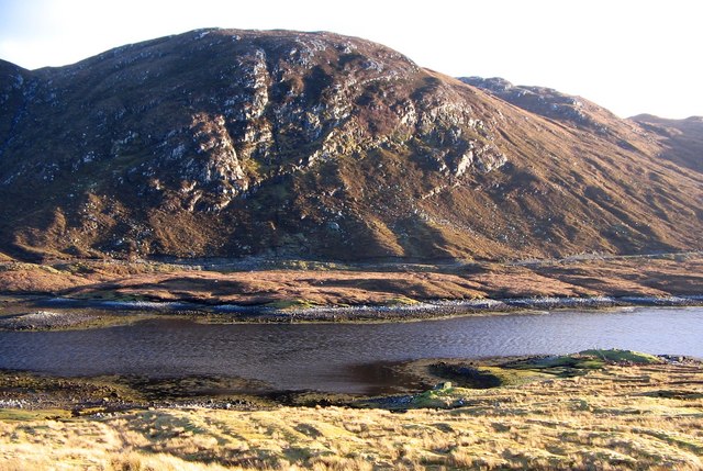
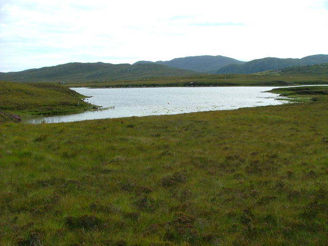
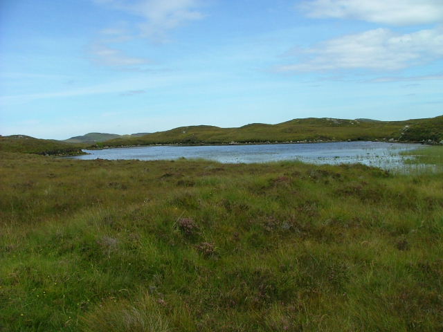
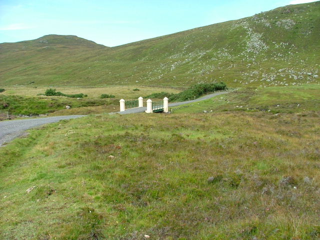
Rubha nan Each, located in Ross-shire, Scotland, is a picturesque coastal feature known for its stunning headland and dramatic cliffs. Situated on the western shores of the Scottish Highlands, it juts out into the North Atlantic Ocean, offering breathtaking views of the surrounding landscape.
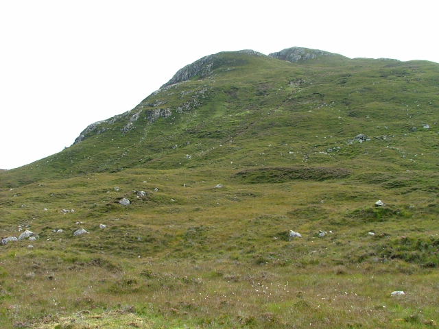
The headland is characterized by its rugged terrain and towering cliffs, which reach heights of up to 100 meters in some areas. These cliffs provide a nesting site for a variety of seabirds, including puffins, razorbills, and guillemots, making it a haven for birdwatchers and nature enthusiasts.
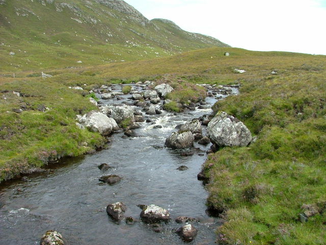
The headland is also home to a small sandy beach, providing an idyllic spot for a leisurely stroll or a picnic. The beach offers visitors the chance to relax and enjoy the tranquility of the area, while the rocky shoreline provides opportunities for exploring tide pools and discovering marine life.
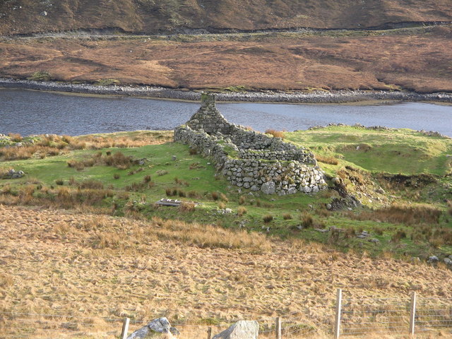
Rubha nan Each is rich in history and has been inhabited for thousands of years. Ruins of ancient settlements and burial sites can be found scattered across the headland, offering a glimpse into the lives of past inhabitants. The area also holds cultural significance, with various myths and legends associated with its name, which translates to "Headland of the Horses" in Gaelic.
Overall, Rubha nan Each is a captivating coastal feature that combines natural beauty, wildlife, and historical significance. It is a must-visit destination for those seeking an immersive experience in the rugged and awe-inspiring landscapes of the Scottish Highlands.
If you have any feedback on the listing, please let us know in the comments section below.
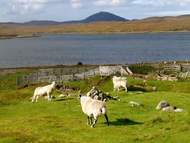
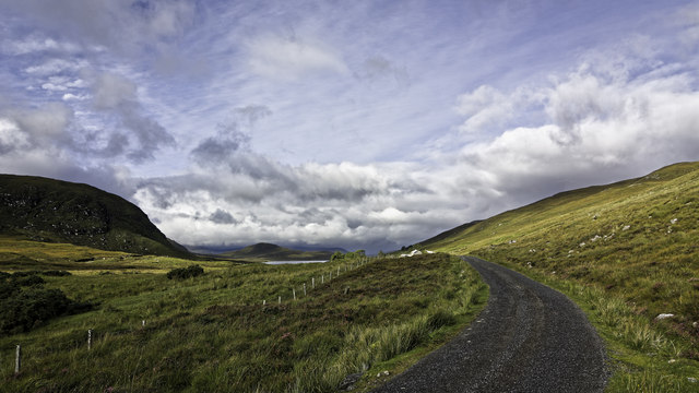
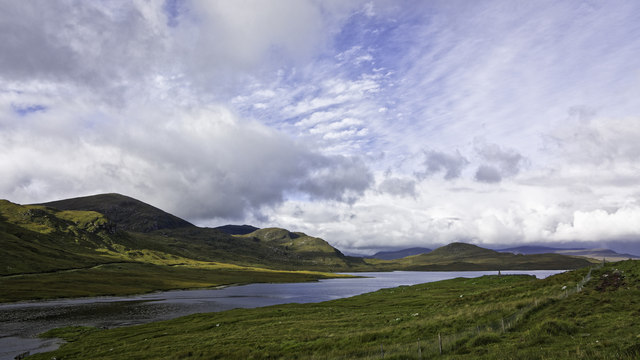
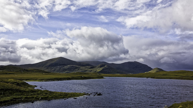
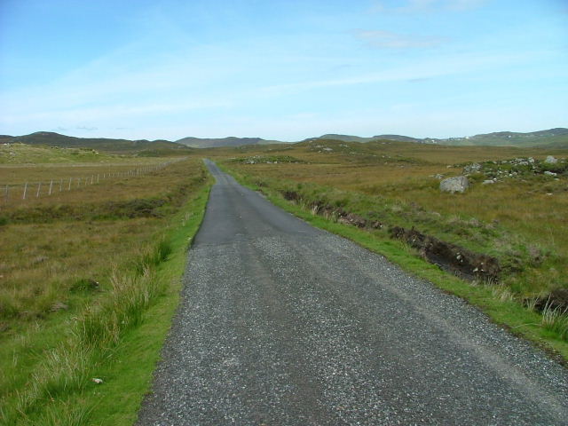
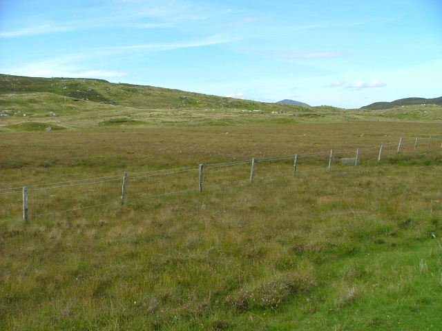
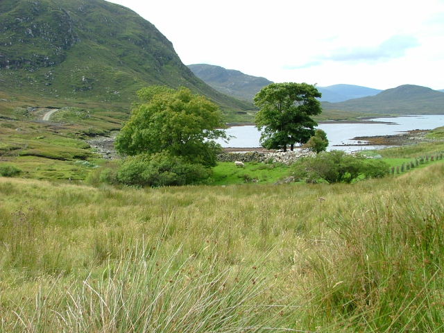
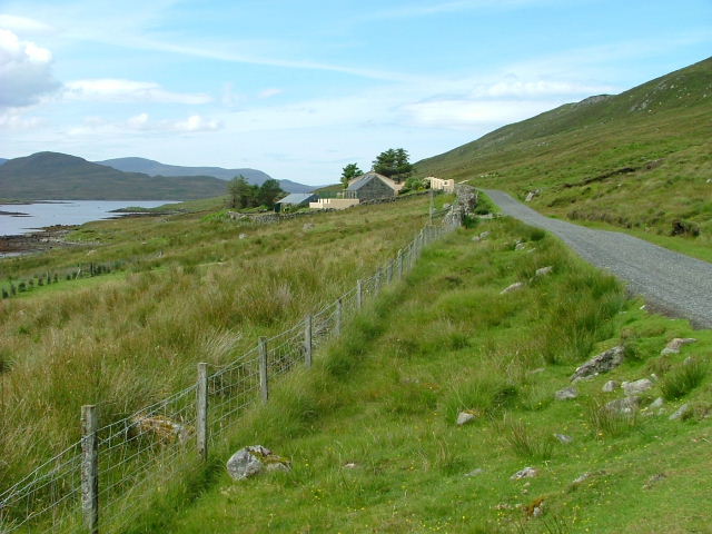
Rubha nan Each Images
Images are sourced within 2km of 58.051082/-6.6041006 or Grid Reference NB2816. Thanks to Geograph Open Source API. All images are credited.


Rubha nan Each is located at Grid Ref: NB2816 (Lat: 58.051082, Lng: -6.6041006)
Unitary Authority: Na h-Eileanan an Iar
Police Authority: Highlands and Islands
What 3 Words
///ushering.awesome.decrease. Near Leurbost, Na h-Eileanan Siar
Nearby Locations
Related Wikis

Airidh a' Bhruaich
Airidh a' Bhruaich (Arivruaich - anglicised) is a scattered crofting township in the South Lochs district of the Isle of Lewis in the Outer Hebrides of...

Balallan
Balallan (Scottish Gaelic: Baile Ailein, Bail' Ailein), meaning "Allan's Town", is a crofting township on the Isle of Lewis, in the Outer Hebrides, Scotland...

Park, Lewis
Park (Scottish Gaelic: A' Phàirc), also known as South Lochs, is a huge area of land connected to the rest of Lewis only by a narrow neck between Loch...
Loch Erisort
Loch Erisort (Scottish Gaelic: Èireasort) is an 8-mile-long narrow sea inlet on the east coast of the Isle of Lewis in the Outer Hebrides off the west...

Stiomrabhaig
Stiomrabhaig is an abandoned crofter's village on the Isle of Lewis in the Outer Hebrides. == History == The United Kingdom Census 1851 shows that the...

Cabharstadh
Cabharstadh or Caversta (Scottish Gaelic: Cabharstaigh) is a village on the Isle of Lewis in the Outer Hebrides, Scotland. Caversta is situated in the...

Eilean Mòr, Loch Langavat
Eilean Mòr is an island in Loch Langavat on the Isle of Lewis in the Outer Hebrides of Scotland. == Footnotes ==

Gravir
Gravir (Scottish Gaelic: Grabhair), is a village on the shore of Loch Odhairn (a sea loch) in the Park district of the Isle of Lewis. Gravir is within...
Nearby Amenities
Located within 500m of 58.051082,-6.6041006Have you been to Rubha nan Each?
Leave your review of Rubha nan Each below (or comments, questions and feedback).