Cartside

Settlement in Renfrewshire

Scotland

Cartside

Kibbleston
Kibbleston Credit: Leslie Barrie

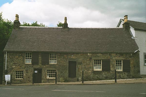
Cartside is a small village located in the historical county of Renfrewshire, Scotland. Situated about 5 miles south of the town of Paisley, Cartside is a rural community with a population of approximately 300 residents.

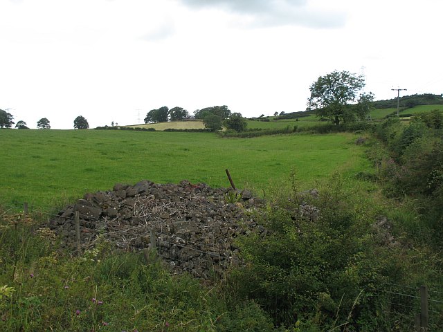
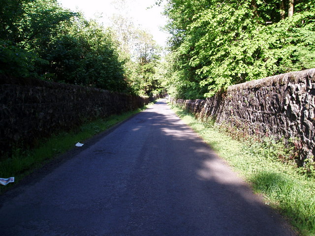
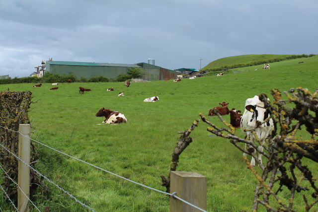
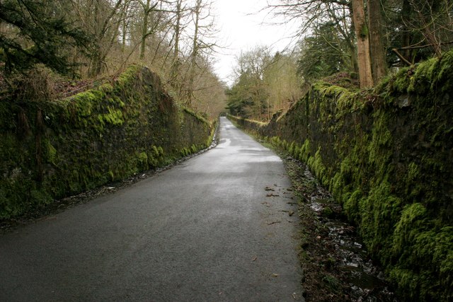
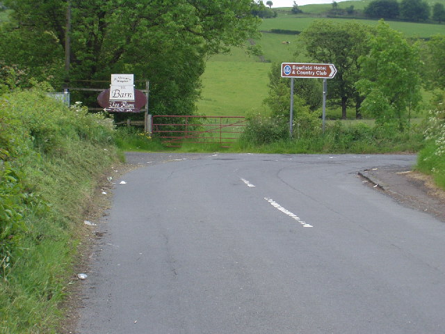
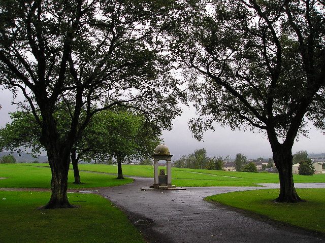
The village is nestled amidst picturesque countryside, surrounded by farmland, rolling hills, and the scenic beauty of the River Cart that flows nearby. It offers a tranquil and idyllic setting for residents seeking a peaceful lifestyle away from the hustle and bustle of urban areas.

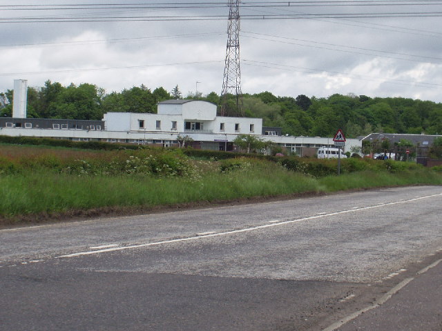
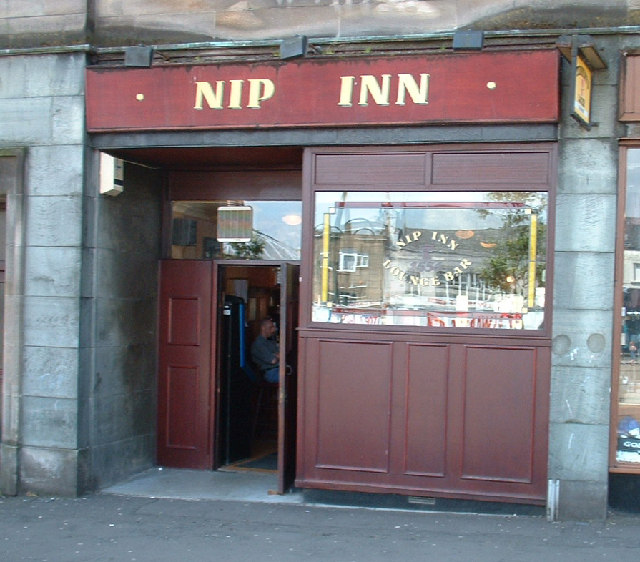
Cartside is primarily a residential area, with a few local amenities available to cater to the needs of its inhabitants. These include a small convenience store, a pub, and a community center. For more extensive shopping and leisure facilities, residents can easily access nearby towns like Paisley or Glasgow.

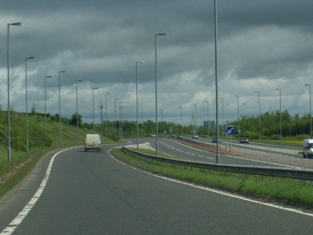
The village benefits from good transportation links, with easy access to the A726 road, which connects it to surrounding areas. Public transportation options are also available, including regular bus services connecting Cartside to neighboring towns and villages.

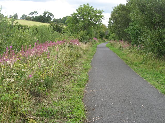
The village is surrounded by natural beauty, making it an ideal location for outdoor enthusiasts. Several walking and cycling trails are accessible from Cartside, allowing residents to explore the stunning Scottish countryside and enjoy activities like hiking, birdwatching, and fishing.

Overall, Cartside offers a peaceful and close-knit community atmosphere, coupled with its beautiful surroundings, making it an attractive place to reside for those seeking a rural lifestyle in Renfrewshire.

If you have any feedback on the listing, please let us know in the comments section below.
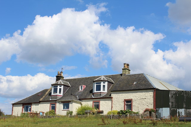
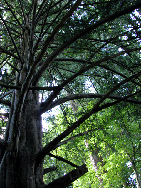
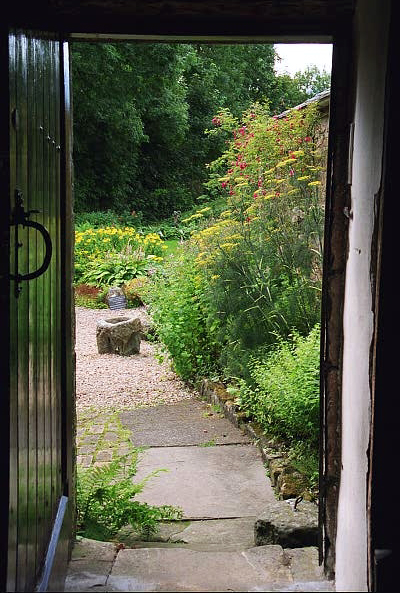
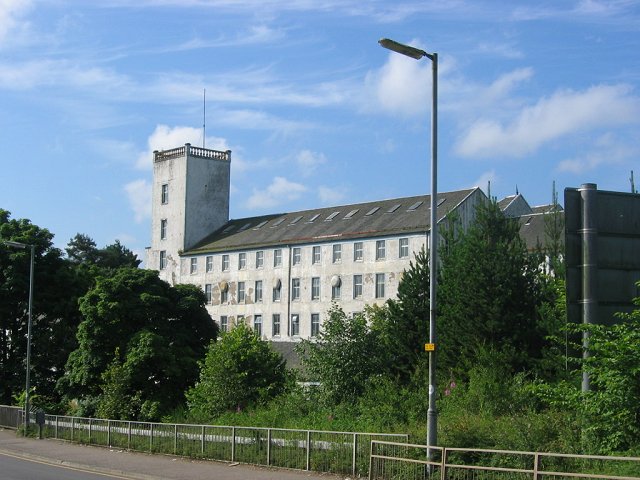
Cartside Images

Images are sourced within 2km of 55.829838/-4.5285393 or Grid Reference NS4162. Thanks to Geograph Open Source API. All images are credited.

Kibbleston
Kibbleston
Glentyan Estate Woodland that forms part of Glentyan Estate, south of Burntshields Road, Kilbarchan.
Glentyan Estate
Woodland that forms part of Glentyan Estate, south of Burntshields Road, Kilbarchan.
Stone pile, Auchenames A pile of stones cleared from the fields?
Stone pile, Auchenames
A pile of stones cleared from the fields?
Kilbarchan loop Disused railway, now a cycle path. Most of its course appears to be within cuttings. The railway was built to relieve congestion between Paisley and Ayrshire. The last stretch at  Kilbirnie was finally closed in the early 1970s.
The railway is also known as the Lochwinnoch Loop or Dalry and North Johnstone Line.
Kilbarchan loop
Disused railway, now a cycle path. Most of its course appears to be within cuttings. The railway was built to relieve congestion between Paisley and Ayrshire. The last stretch at Kilbirnie was finally closed in the early 1970s. The railway is also known as the Lochwinnoch Loop or Dalry and North Johnstone Line.
Walled Road Burntshields Road  with its stone walls either side as it cuts across the Glentyan Estate.
Walled Road
Burntshields Road with its stone walls either side as it cuts across the Glentyan Estate.
Kibbleston Farm
Kibbleston Farm
Driveway into Glentyan Estate Seen from the East Lodge entrance on Church Street, Kilbarchan.
Driveway into Glentyan Estate
Seen from the East Lodge entrance on Church Street, Kilbarchan.
Burntshields Road According to the map, there is a tunnel under the road at the point where the walls are higher. It links tracks in two parts of the Glentyan Estate.
Burntshields Road
According to the map, there is a tunnel under the road at the point where the walls are higher. It links tracks in two parts of the Glentyan Estate.
National Trust Weaver's Cottage: Kilbarchan The cottage is situated in the centre of the village and has an interesting exhibition of how paisley shawls were produced. It is in the south western corner of the square.
National Trust Weaver's Cottage: Kilbarchan
The cottage is situated in the centre of the village and has an interesting exhibition of how paisley shawls were produced. It is in the south western corner of the square.
Corseford School
Corseford School
The A737 The on ramp to the road to Glasgow from Johnstone
The A737
The on ramp to the road to Glasgow from Johnstone
Road junction near Howwood This road junction takes you to St Vincent Hospice or the village of Howwood.
Road junction near Howwood
This road junction takes you to St Vincent Hospice or the village of Howwood.
Cottage Garden: National Trust Weaver's Cottage A view through the kitchen door into the garden at the rear of the cottage, in Kilbarchan.
Cottage Garden: National Trust Weaver's Cottage
A view through the kitchen door into the garden at the rear of the cottage, in Kilbarchan.
Paton's Mill,  Johnstone Looking a bit tatty in 2005, and a lot more tatty in 2009. By 2009 the building was badly vandalised and losing its roof.
Paton's Mill, Johnstone
Looking a bit tatty in 2005, and a lot more tatty in 2009. By 2009 the building was badly vandalised and losing its roof.
Nip Inn, Johnstone A friendly wee pub
Nip Inn, Johnstone
A friendly wee pub
Thomas Shanks Park This park is named after a leading local Industrialist of the 19th century and was gifted to the town of Johnstone in 1908.
Thomas Shanks Park
This park is named after a leading local Industrialist of the 19th century and was gifted to the town of Johnstone in 1908.
Fountain Plaque Thomas Shanks Park fountain plaque, detailing the gift of the park and fountain to the town of Johnstone.
Fountain Plaque
Thomas Shanks Park fountain plaque, detailing the gift of the park and fountain to the town of Johnstone.
Pylons A double file stretching across the landscape.
The NFU negotiate a rate of payment for each pylon, pole etc on a farmers land, so these intrusions on the landscape at least provide an income for the farmer.
Pylons
A double file stretching across the landscape. The NFU negotiate a rate of payment for each pylon, pole etc on a farmers land, so these intrusions on the landscape at least provide an income for the farmer.
Show me another place!

Cartside is located at Grid Ref: NS4162 (Lat: 55.829838, Lng: -4.5285393)

Unitary Authority: Renfrewshire

Police Authority: Renfrewshire and Inverclyde

What 3 Words

///hype.shoulders.selection. Near Johnstone, Renfrewshire

Related Wikis

Milliken Park railway station

Milliken Park railway station serves the west end of Johnstone and the south west of the village of Kilbarchan in Renfrewshire, Scotland. The station is...

Nation Radio Scotland

Nation Radio Scotland (formerly XFM Scotland (2014), 96.3 Rock Radio Real XS, Q96 and 96.3QFM) is a Scottish Independent Local Radio station for Renfrewshire...

Renfrewshire

Renfrewshire () (Scots: Renfrewshire; Scottish Gaelic: Siorrachd Rinn Friù) is one of the 32 council areas of Scotland. The council area has the same name...

Cochrane Castle

Cochrane Castle was a castle, 1 mile (1.6 km) west of Johnstone, Renfrewshire, Scotland, near the Black Cart Water. == History == The property was owned...

Kilbarchan railway station

Kilbarchan railway station was a railway station serving the village of Kilbarchan, Renfrewshire, Scotland. The station was part of the Dalry and North...

Johnstone Castle

Johnstone Castle (Scots: Johnstoun Castle) is a structure and former mansion in the town of Johnstone in Renfrewshire, Scotland. It belonged to the Houstons...

Newfield Park, Johnstone

Newfield Park was a football ground in Johnstone, Scotland. It was the home ground of Johnstone F.C. from 1894 until the club folded in 1927. == History... ==

Johnstone North railway station

Johnstone North railway station was a railway station serving the town of Johnstone, Renfrewshire, Scotland as part of the Dalry and North Johnstone Line...

Related Videos

Proud Mary

Rolling Tracey Pollock Proud Mary Tina Turner.

Nearby Amenities

Located within 500m of 55.829838,-4.5285393
Crossing
Crossing: unmarked
Crossing Island: no
Crossing Markings: no
Tactile Paving: no
Lat/Long: 55.8302381/-4.5344132
Bus Stop
Bus: yes
Naptan AtcoCode: 6140734
Naptan NaptanCode: 73924634
Public Transport: platform
Lat/Long: 55.8275539/-4.5337518
Bus Stop
Bus: yes
Public Transport: platform
Lat/Long: 55.8296796/-4.5306872
Bus Stop
Bus: yes
Naptan AtcoCode: 6140740
Naptan NaptanCode: 73924965
Public Transport: platform
Lat/Long: 55.8309652/-4.5262833
Bus Stop
Bus: yes
Naptan AtcoCode: 6140741
Naptan NaptanCode: 73924542
Public Transport: platform
Lat/Long: 55.8317071/-4.5244247
Give Way
Lat/Long: 55.8304809/-4.5348328
Power: tower
Lat/Long: 55.8333072/-4.5277358
Power: tower
Lat/Long: 55.8304405/-4.5299875
Post Office
Dundonald Post Office
Lat/Long: 55.8260625/-4.5264145
Crossing
Crossing: unmarked
Crossing Island: yes
Crossing Markings: no
Tactile Paving: no
Lat/Long: 55.8294442/-4.5334815
Bus Stop
Bus: yes
Public Transport: platform
Lat/Long: 55.8265883/-4.5231961
Motorway Junction
Lat/Long: 55.8329849/-4.5308272
Give Way
Direction: forward
Lat/Long: 55.8308986/-4.5354796
Give Way
Direction: forward
Lat/Long: 55.8309708/-4.5358836
Crossing
Crossing: unmarked
Crossing Island: no
Crossing Markings: no
Tactile Paving: no
Lat/Long: 55.8302622/-4.5343024
Give Way
Direction: forward
Lat/Long: 55.8304178/-4.534581
Give Way
Direction: forward
Lat/Long: 55.8306973/-4.5347803
School
St David's Primary School
Addr Postcode: PA5 0BB
Denomination: roman_catholic
Email: stdavidsenquiries@renfrewshire.gov.uk
Operator: Renfrewshire Council
Operator Wikidata: Q99229583
Phone: +44 300 300 0198
Ref GB Uprn: 123097733
Ref Seedcode: 8623023
Religion: christian
School: primary
Website: https://blogs.glowscotland.org.uk/re/stdavids/
Lat/Long: 55.8276467/-4.5219317
School
Cochrane Castle Primary School
Addr Postcode: PA5 0BB
Email: cochranecastleenquiries@renfrewshire.gov.uk
Operator: Renfrewshire Council
Operator Wikidata: Q99229583
Phone: +44 300 300 0198
Ref GB Uprn: 123097732
Ref Seedcode: 8622728
School: primary
Website: https://blogs.glowscotland.org.uk/re/cochrane/
Lat/Long: 55.8281154/-4.5218292
Mini Roundabout
Direction: clockwise
Lat/Long: 55.8295496/-4.5332834
Traffic Calming: island
Lat/Long: 55.8295679/-4.53303
Give Way
Direction: backward
Lat/Long: 55.8311254/-4.5358477
Give Way
Direction: forward
Lat/Long: 55.8306616/-4.5343997
The data included in this document is from www.openstreetmap.org. The data is made available under ODbL.

Have you been to Cartside?

Leave your review of Cartside below (or comments, questions and feedback).