Cartsburn
Settlement in Renfrewshire
Scotland
Cartsburn
Cartsburn is a small village located in the historic county of Renfrewshire, Scotland. Situated on the banks of the River Cart, it is part of the larger town of Greenock, which lies approximately 20 miles west of Glasgow.
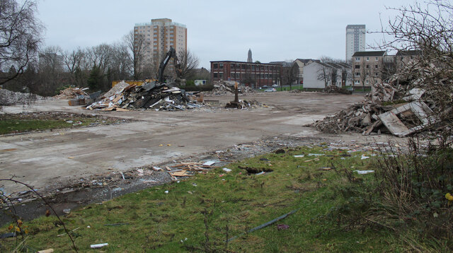
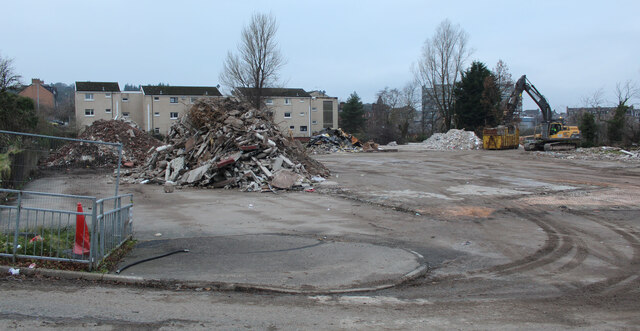
The origins of Cartsburn can be traced back to the early 19th century when it emerged as a thriving industrial area. The village became renowned for its shipbuilding industry, with several shipyards operating along the riverbank. These shipyards played a significant role in the growth and development of the area, attracting a large population of workers to the village.
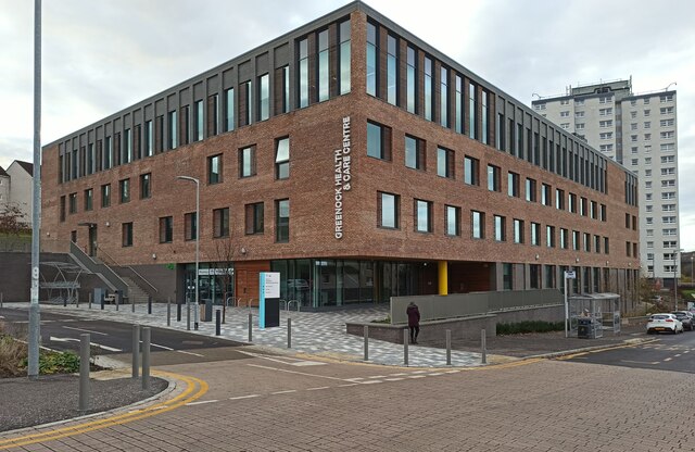
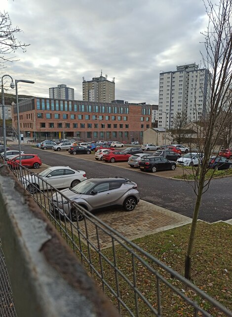
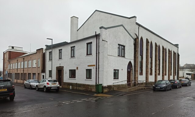
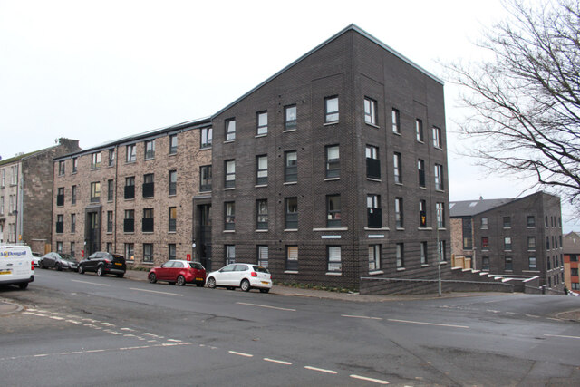
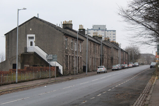
Today, Cartsburn retains some of its industrial heritage, with remnants of the shipbuilding era still visible in the form of old warehouses and docks. However, the village has also evolved into a residential area, with a mix of traditional and modern housing. The riverfront is now a popular spot for leisure activities, offering picturesque views of the River Cart and its surrounding landscape.
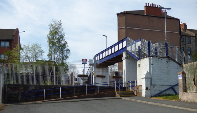
Cartsburn benefits from excellent transport links, with easy access to the nearby towns of Greenock and Port Glasgow. The village is also well-connected to Glasgow and other major cities in Scotland via the nearby M8 motorway.
In terms of amenities, Cartsburn offers a range of local shops, schools, and recreational facilities, making it an attractive place to live for families and individuals alike. The village's close proximity to the scenic Clyde Muirshiel Regional Park also provides opportunities for outdoor activities and exploration. Overall, Cartsburn offers a unique mix of history, natural beauty, and modern amenities, making it a charming place to call home.
If you have any feedback on the listing, please let us know in the comments section below.
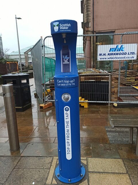
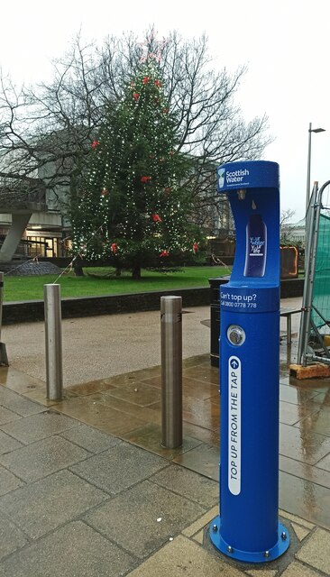
Cartsburn Images
Images are sourced within 2km of 55.945182/-4.7379025 or Grid Reference NS2975. Thanks to Geograph Open Source API. All images are credited.


Cartsburn is located at Grid Ref: NS2975 (Lat: 55.945182, Lng: -4.7379025)
Unitary Authority: Inverclyde
Police Authority: Renfrewshire and Inverclyde
What 3 Words
///slick.liability.pump. Near Greenock, Inverclyde
Nearby Locations
Related Wikis
Cartsdyke
Cartsdyke (Scots: Cairstdyke, Scottish Gaelic: Gàradh Cairte), formerly known as Crawfurdsdyke, is a suburb of the town of Greenock, Scotland.Crawfurdsdyke...

Cartsdyke railway station
Cartsdyke railway station serves part of the town of Greenock, Scotland. The station is on the Inverclyde Line, 22 miles (35 km) west of Glasgow Central...
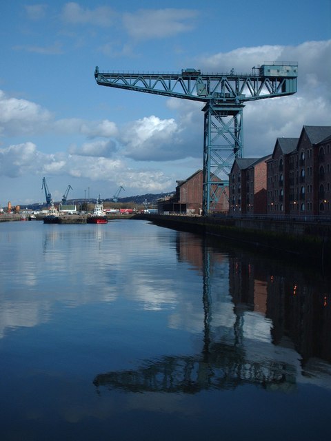
James Watt Dock Crane
The James Watt Dock Crane is a giant cantilever crane situated at Greenock on the River Clyde. == History == It was built in 1917 by Sir William Arrol...

Cappielow
Cappielow, also known as Cappielow Park supported by Dalrada Technology UK for sponsorship reasons, is a football stadium in Greenock, Inverclyde, Scotland...

Greenock Central railway station
Greenock Central station is one of eight railway stations serving the town of Greenock in western Scotland, and is the nearest to the town centre. This...

Whinhill railway station
Whinhill railway station is a railway station located in the east of the town of Greenock, Inverclyde, Scotland. The station is managed by ScotRail and...

Easter Greenock Castle
Easter Greenock Castle was a castle of unknown design near the burgh of Greenock, Scotland. == History == === Construction and location === Built sometime...
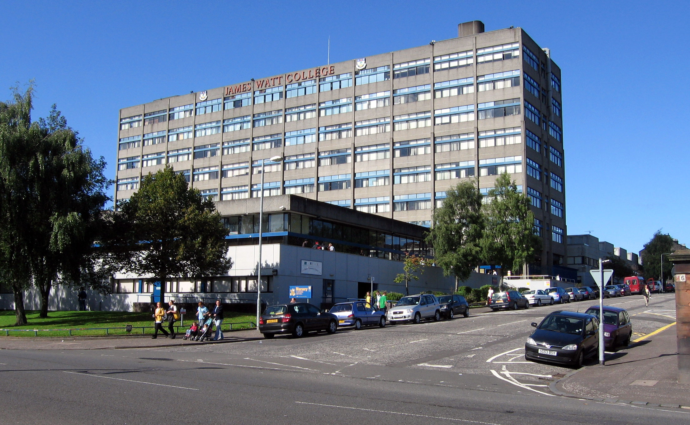
James Watt College
The James Watt College was a further education college in Greenock, Scotland. It is now part of West College Scotland. There were also campuses in Largs...
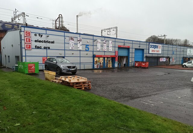
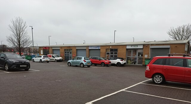
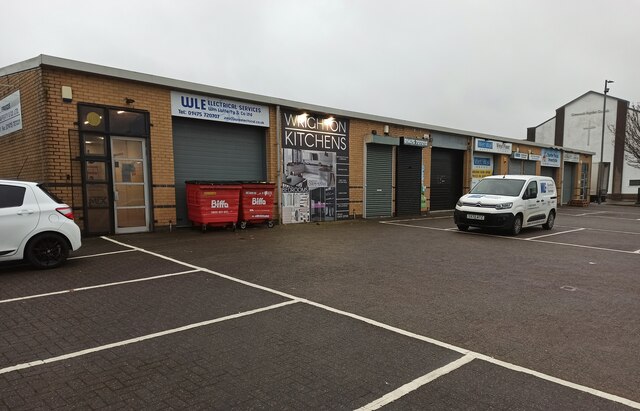
Nearby Amenities
Located within 500m of 55.945182,-4.7379025Have you been to Cartsburn?
Leave your review of Cartsburn below (or comments, questions and feedback).