Bridgend

Settlement in Renfrewshire

Scotland

Bridgend

Victoria House business centre  On East Blackwhall Street, near Victoria Harbour.
Victoria House business centre Credit: Thomas Nugent

Bridgend is a small village located in Renfrewshire, Scotland. Situated on the banks of the River Clyde, it has a population of around 1,500 residents. The village is positioned approximately 7 miles west of Glasgow city center, making it an attractive location for commuters.

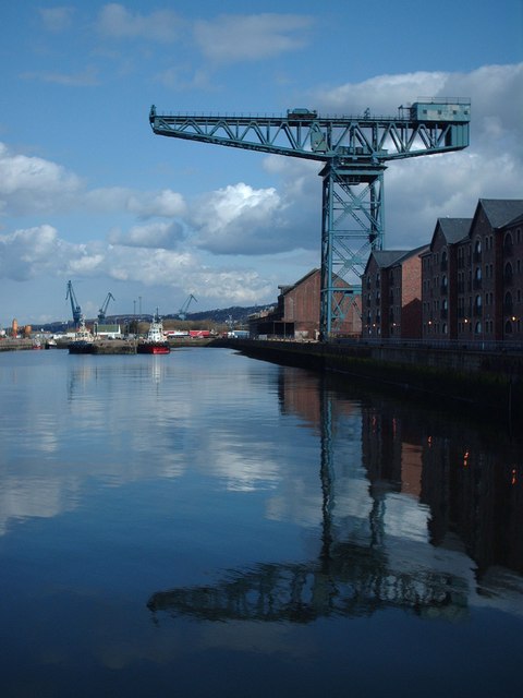
Historically, Bridgend was known for its shipbuilding industry, which thrived during the 19th and early 20th centuries. However, like many other shipbuilding towns, Bridgend experienced a decline in this industry, leading to a shift in its economic focus.

Today, Bridgend is primarily a residential area, with a mix of traditional and modern housing. The village offers a range of amenities to its residents, including local shops, a primary school, and a community center. There are also several parks and green spaces nearby, providing recreational opportunities for residents and visitors alike.

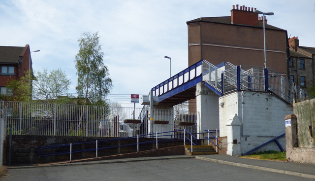
Transport links are well-developed in Bridgend, with regular bus services connecting the village to nearby towns and Glasgow city center. The M8 motorway is easily accessible, providing convenient connections to other parts of Scotland.

In terms of attractions, Bridgend benefits from its proximity to the Clyde Muirshiel Regional Park, a designated Area of Outstanding Natural Beauty. This expansive park offers stunning landscapes, walking trails, and wildlife spotting opportunities, making it a popular destination for outdoor enthusiasts.

In summary, Bridgend is a small village in Renfrewshire, Scotland, known for its residential character and convenient location for commuters. With a rich history in shipbuilding and access to beautiful natural surroundings, it offers a pleasant and peaceful living environment.

If you have any feedback on the listing, please let us know in the comments section below.
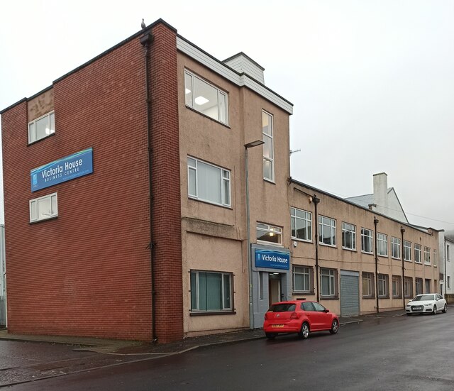
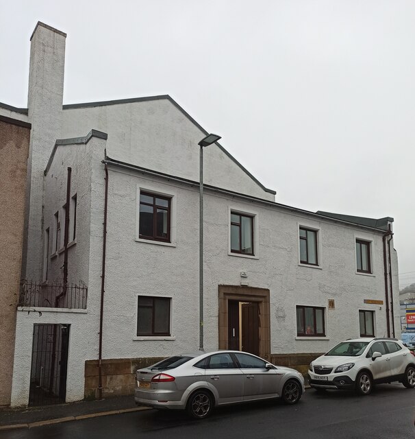
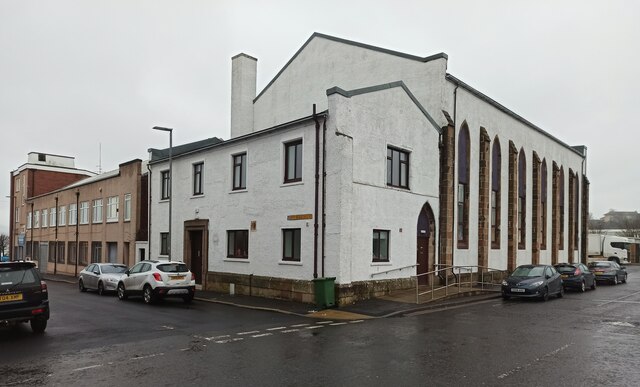
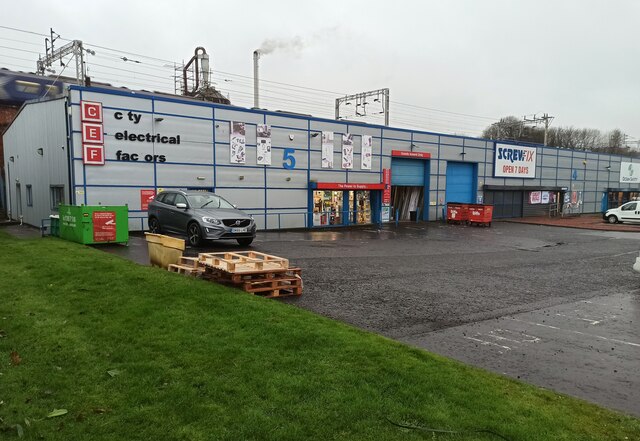
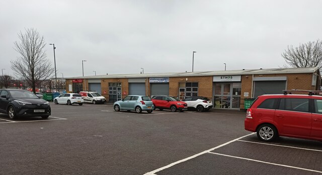
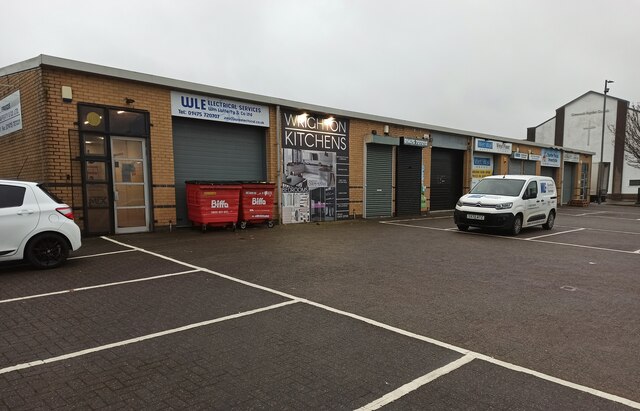
Bridgend Images

Images are sourced within 2km of 55.940723/-4.7281865 or Grid Reference NS2975. Thanks to Geograph Open Source API. All images are credited.

Victoria House business centre  On East Blackwhall Street, near Victoria Harbour.
Victoria House business centre
On East Blackwhall Street, near Victoria Harbour.
Greenock Baptist Church  The former St Andrew's Church became home to Greenock Baptist Church in January 2015. Greenock Baptist Church was formed in 2008 when George Square Baptist Church and Orangefield Baptist Church united. This view is of the East Blackhall Street side of the building.
Greenock Baptist Church
The former St Andrew's Church became home to Greenock Baptist Church in January 2015. Greenock Baptist Church was formed in 2008 when George Square Baptist Church and Orangefield Baptist Church united. This view is of the East Blackhall Street side of the building.
Greenock Baptist  Church  The former St Andrew's Church became home to Greenock Baptist Church in January 2015. Greenock Baptist Church was formed in 2008 when George Square Baptist Church and Orangefield Baptist Church united. This view is from Carnock Street at East Blackhall Street.
Greenock Baptist Church
The former St Andrew's Church became home to Greenock Baptist Church in January 2015. Greenock Baptist Church was formed in 2008 when George Square Baptist Church and Orangefield Baptist Church united. This view is from Carnock Street at East Blackhall Street.
Trade retail units on Carwood Street Plumbing and electrical suppliers are amongst the types of businesses which operate here.
Trade retail units on Carwood Street
Plumbing and electrical suppliers are amongst the types of businesses which operate here.
Empress Court Home to a variety of businesses, just off the A8 road at Victoria Harbour.
Empress Court
Home to a variety of businesses, just off the A8 road at Victoria Harbour.
Empress Court  Home to a variety of businesses, just off the A8 road at Victoria Harbour.
Empress Court
Home to a variety of businesses, just off the A8 road at Victoria Harbour.
Greenock Town Hall The hall is currently  operating as a vaccination centre, mainly providing boosters to combat the New Omicron variant of Covid-19. This view shows the east end of the carriageway (currently under renovation) which runs through the building.

See also <a href="https://www.geograph.org.uk/photo/7059289">NS2776 : Gate at Greenock Town Hall</a>.
Greenock Town Hall
The hall is currently operating as a vaccination centre, mainly providing boosters to combat the New Omicron variant of Covid-19. This view shows the east end of the carriageway (currently under renovation) which runs through the building. See also NS2776 : Gate at Greenock Town Hall.
Water fountain at Clyde Square  One of over a hundred public drinking water taps  which have been installed around Scotland by Scottish Water.

See it and the others on a searchable map: <span class="nowrap"><a title="https://www.yourwateryourlife.co.uk/find-your-nearest-top-up-tap/" rel="nofollow ugc noopener" href="https://www.yourwateryourlife.co.uk/find-your-nearest-top-up-tap/">Link</a><img style="margin-left:2px;" alt="External link" title="External link - shift click to open in new window" src="https://s1.geograph.org.uk/img/external.png" width="10" height="10"/></span> .
Water fountain at Clyde Square
One of over a hundred public drinking water taps which have been installed around Scotland by Scottish Water. See it and the others on a searchable map: LinkExternal link .
Gate at Greenock Town Hall The hall is currently operating as a vaccination centre. This gate is at the Clyde Square entrance. See also <a href="https://www.geograph.org.uk/photo/7055175">NS2776 : Greenock Town Hall</a>.
Gate at Greenock Town Hall
The hall is currently operating as a vaccination centre. This gate is at the Clyde Square entrance. See also NS2776 : Greenock Town Hall.
Hector McNeil House The former Greenock Central Library is now offices of Inverclyde Council. The mural is by Charles Anderson and was commissioned for the library.
Hector McNeil House
The former Greenock Central Library is now offices of Inverclyde Council. The mural is by Charles Anderson and was commissioned for the library.
Mural on Hector McNeil House The former Greenock Central Library is now offices of Inverclyde Council. The mural is by Charles Anderson and was commissioned for the library.
Mural on Hector McNeil House
The former Greenock Central Library is now offices of Inverclyde Council. The mural is by Charles Anderson and was commissioned for the library.
The Lyle Fountain The fountain and canopy have recently returned from Wigan where they were restored by a specialist company. The temporary fence suggests that there is still some work to be done.

See the fountain and canopy in situ in November 2015 <a href="https://www.geograph.org.uk/photo/4752344">NS2876 : The Lyle Fountain, Cathcart Square</a>.

The following information is from the Discover Inverclyde web site <span class="nowrap"><a title="http://discoverinverclyde.com/" rel="nofollow ugc noopener" href="http://discoverinverclyde.com/">Link</a><img style="margin-left:2px;" alt="External link" title="External link - shift click to open in new window" src="https://s1.geograph.org.uk/img/external.png" width="10" height="10"/></span> .

The ornate Lyle central fountain was gifted to the Town by Provost Abram Lyle in 1880, it was designed by Mr F.A. Scudamore of Coventry.

Bronze shields which bear the crests of Ardgowan and Cartsburn families and 16 other prominent families of Greenock can be seen above the fountain. Abram Lyle was a successful business man born in Greenock 1820 and was a partner in the largest shipping fleet in Greenock, transporting sugar from West Indies. With four business partners Lyle bought the Glebe Sugar refinery in 1865. He was Provost from 1876 - 1879.
The Lyle Fountain
The fountain and canopy have recently returned from Wigan where they were restored by a specialist company. The temporary fence suggests that there is still some work to be done. See the fountain and canopy in situ in November 2015 NS2876 : The Lyle Fountain, Cathcart Square. The following information is from the Discover Inverclyde web site LinkExternal link . The ornate Lyle central fountain was gifted to the Town by Provost Abram Lyle in 1880, it was designed by Mr F.A. Scudamore of Coventry. Bronze shields which bear the crests of Ardgowan and Cartsburn families and 16 other prominent families of Greenock can be seen above the fountain. Abram Lyle was a successful business man born in Greenock 1820 and was a partner in the largest shipping fleet in Greenock, transporting sugar from West Indies. With four business partners Lyle bought the Glebe Sugar refinery in 1865. He was Provost from 1876 - 1879.
The Dutch Gable House A restored historic building, located on William Street, off Cathcart Square.
The Dutch Gable House
A restored historic building, located on William Street, off Cathcart Square.
Greenock Mid Kirk Looking along Cathcart Street to the church which is on Cathcart Square.
Greenock Mid Kirk
Looking along Cathcart Street to the church which is on Cathcart Square.
Greenock Mid Kirk Looking across Cathcart Square.
Greenock Mid Kirk
Looking across Cathcart Square.
Carriageway entrance at Greenock Municipal Buildings For use by authorised vehicles only.

See the other end of the carriageway at Clyde Square <a href="https://www.geograph.org.uk/photo/7055175">NS2776 : Greenock Town Hall</a>.
Carriageway entrance at Greenock Municipal Buildings
For use by authorised vehicles only. See the other end of the carriageway at Clyde Square NS2776 : Greenock Town Hall.
Seal sculpture at Customhouse Quay The seal is at the centre of this fairly new sculpture (November 2021), which also incorporates some much needed seating. Created by artist Alan Potter <span class="nowrap"><a title="https://alanpotterartist.wordpress.com/" rel="nofollow ugc noopener" href="https://alanpotterartist.wordpress.com/">Link</a><img style="margin-left:2px;" alt="External link" title="External link - shift click to open in new window" src="https://s1.geograph.org.uk/img/external.png" width="10" height="10"/></span> , it is titled ‘Ebb & Flow’. 

It is one of several recently installed works along National Cycle Network Route 75 at the quay, by Sustrans and Inverclyde Council under the banner of "The Creative Conversations II Project", which involved local artists.

See also <a href="https://www.geograph.org.uk/photo/7075219">NS2876 : Seal sculpture at Customhouse Quay</a>
Seal sculpture at Customhouse Quay
The seal is at the centre of this fairly new sculpture (November 2021), which also incorporates some much needed seating. Created by artist Alan Potter LinkExternal link , it is titled ‘Ebb & Flow’. It is one of several recently installed works along National Cycle Network Route 75 at the quay, by Sustrans and Inverclyde Council under the banner of "The Creative Conversations II Project", which involved local artists. See also NS2876 : Seal sculpture at Customhouse Quay
Show me another place!

Bridgend is located at Grid Ref: NS2975 (Lat: 55.940723, Lng: -4.7281865)

Unitary Authority: Inverclyde

Police Authority: Renfrewshire and Inverclyde

What 3 Words

///this.shout.struck. Near Greenock, Inverclyde

Related Wikis

Cappielow

Cappielow, also known as Cappielow Park supported by Dalrada Technology UK for sponsorship reasons, is a football stadium in Greenock, Inverclyde, Scotland...

Cartsdyke railway station

Cartsdyke railway station serves part of the town of Greenock, Scotland. The station is on the Inverclyde Line, 22 miles (35 km) west of Glasgow Central...

James Watt Dock Crane

The James Watt Dock Crane is a giant cantilever crane situated at Greenock on the River Clyde. == History == It was built in 1917 by Sir William Arrol...

Easter Greenock Castle

Easter Greenock Castle was a castle of unknown design near the burgh of Greenock, Scotland. == History == === Construction and location === Built sometime...

Cartsdyke

Cartsdyke (Scots: Cairstdyke, Scottish Gaelic: Gàradh Cairte), formerly known as Crawfurdsdyke, is a suburb of the town of Greenock, Scotland.Crawfurdsdyke...

Bogston railway station

Bogston railway station is on the Inverclyde Line, at Bogston in the East end of Greenock in Inverclyde council area, Scotland. The station is 213⁄4 miles...

Whinhill railway station

Whinhill railway station is a railway station located in the east of the town of Greenock, Inverclyde, Scotland. The station is managed by ScotRail and...

Gibshill

Gibshill (sometimes spelt as Gibbshill and often referred to as The Gibby, but also known as Spam Island) is the easternmost housing estate in Greenock...

Nearby Amenities

Located within 500m of 55.940723,-4.7281865
Traffic Signals
Lat/Long: 55.9418813/-4.7253306
Traffic Signals
Lat/Long: 55.9419624/-4.725268
Cartsdyke
Naptan AtcoCode: 9100CRTSDYK
Network: National Rail
Network Website: https://www.nationalrail.co.uk/stations/cdy/
Network Wikidata: Q26334
Operator: ScotRail
Operator Website: https://www.scotrail.co.uk/plan-your-journey/stations-and-facilities/cdy
Operator Wikidata: Q18356161
Public Transport: station
Railway: station
Ref Crs: CDY
Train: yes
Wikidata: Q2466928
Wikipedia: en:Cartsdyke railway station
Lat/Long: 55.9422124/-4.7323622
Traffic Signals
Lat/Long: 55.9435053/-4.7313757
Post Office
James Watt Dock Post Office
Addr Postcode: PA15 2EZ
Brand: Post Office
Brand Wikidata: Q1783168
Ref Pol Id: 131833
Source: OS OpenData StreetView
Website: https://www.postoffice.co.uk/branch-finder/2278596/james-watt-dock
Lat/Long: 55.9382748/-4.7276315
Barrier: bollard
Lat/Long: 55.9394686/-4.7238331
Traffic Signals
Lat/Long: 55.9435809/-4.7313135
Noexit: yes
Lat/Long: 55.9397067/-4.7254294
Traffic Signals
Lat/Long: 55.9415809/-4.7242656
Traffic Signals
Lat/Long: 55.9416547/-4.724496
Traffic Signals
Lat/Long: 55.941672/-4.7241919
Traffic Signals
Lat/Long: 55.9417473/-4.7244203
Social Facility
Craigend Resource Centre
Addr City: Greenock
Addr Postcode: PA15 2HD
Addr Street: McLeod Street
Phone: +44 1475 786739
Website: http://www.craigendgreenock.org.uk
Wheelchair: yes
Wheelchair Description: Permanent ramps. All rooms on one floor.
Lat/Long: 55.9396965/-4.7250431
Noexit: yes
Lat/Long: 55.9395981/-4.7240635
Cartsdyke
Naptan AtcoCode: 9100CRTSDYK
Lat/Long: 55.9419937/-4.7316634
Greenock Titan Crane
Man Made: crane
Lat/Long: 55.9438662/-4.7304426
Charging Station
Operator: CYC
Lat/Long: 55.9428123/-4.7239315
James Watt Dock Marina Office
Addr City: Greenock
Addr Postcode: PA15 2UT
Addr Street: East Hamilton Street
Office: yes
Website: https://www.jameswattdockmarina.co.uk/
Lat/Long: 55.9423485/-4.7248956
Shower
Access: private
Lat/Long: 55.9423824/-4.7250129
Toilets
Access: private
Female: yes
Male: yes
Lat/Long: 55.9423846/-4.7250397
Waterway: fuel
Lat/Long: 55.9438174/-4.7278917
Bridgend
Place: suburb
Lat/Long: 55.9396156/-4.7320706
Crossing
Button Operated: yes
Crossing: traffic_signals
Crossing Island: no
Crossing Ref: pelican
Tactile Paving: yes
Traffic Signals Sound: yes
Lat/Long: 55.9418195/-4.7246998
Garvel Dock Junction
Historic Railway: junction
Railway: site
Lat/Long: 55.9370437/-4.7243671
Noexit: yes
Lat/Long: 55.9396094/-4.7248427
Noexit: yes
Lat/Long: 55.9417928/-4.7351991
Crossing
Button Operated: yes
Crossing: traffic_signals
Crossing Island: no
Crossing Ref: pelican
Tactile Paving: yes
Traffic Signals Sound: yes
Lat/Long: 55.9436558/-4.7316102
Crossing
Button Operated: yes
Crossing: traffic_signals
Crossing Island: no
Crossing Ref: pelican
Tactile Paving: yes
Traffic Signals Sound: yes
Lat/Long: 55.9417819/-4.7249587
Crossing
Button Operated: yes
Crossing: traffic_signals
Crossing Island: no
Crossing Ref: pelican
Tactile Paving: yes
Traffic Signals Sound: yes
Lat/Long: 55.9418329/-4.7243479
Crossing
Button Operated: yes
Crossing: traffic_signals
Crossing Island: no
Crossing Ref: pelican
Tactile Paving: yes
Traffic Signals Sound: yes
Lat/Long: 55.9418183/-4.7240788
Noexit: yes
Lat/Long: 55.9403463/-4.7338976
Crossing
Button Operated: yes
Crossing: traffic_signals
Crossing Ref: pelican
Traffic Signals Sound: yes
Lat/Long: 55.9434748/-4.7316912
Crossing
Button Operated: yes
Crossing: traffic_signals
Crossing Island: no
Crossing Ref: pelican
Tactile Paving: yes
Traffic Signals Sound: yes
Lat/Long: 55.9435551/-4.7315897
Crossing
Button Operated: yes
Crossing: traffic_signals
Crossing Ref: pelican
Traffic Signals Sound: yes
Lat/Long: 55.9434305/-4.7315144
Give Way
Direction: forward
Lat/Long: 55.9410849/-4.7337796
Give Way
Direction: backward
Lat/Long: 55.9411316/-4.7336381
Give Way
Direction: forward
Traffic Sign: GB:1003A
Lat/Long: 55.941619/-4.732125
Give Way
Direction: backward
Lat/Long: 55.9417865/-4.734075
Give Way
Direction: backward
Lat/Long: 55.940678/-4.7351134
Bus Stop
Sinclair Street
Bench: yes
Bin: yes
Bus: yes
Public Transport: platform
Shelter: yes
Lat/Long: 55.9421925/-4.7258868
Traffic Calming: cushion
Lat/Long: 55.937632/-4.723468
Place Of Worship
Greenock East United Reformed Church
Denomination: united_reformed
Religion: christian
Lat/Long: 55.9429918/-4.7301499
Bus Stop
Ratho Street
Bus: yes
Public Transport: platform
Lat/Long: 55.9437635/-4.7327149
Bus Stop
Ratho Street
Bus: yes
Public Transport: platform
Shelter: yes
Lat/Long: 55.9432367/-4.7297556
Bus Stop
Sinclair Street
Bus: yes
Naptan AtcoCode: 6130142
Naptan NaptanCode: 46823753
Public Transport: platform
Shelter: yes
Lat/Long: 55.9420988/-4.7262696
Bus Stop
Ladyburn Street
Bus: yes
Naptan AtcoCode: 6130141
Naptan NaptanCode: 46823642
Public Transport: platform
Shelter: yes
Lat/Long: 55.9412822/-4.7224486
Bus Stop
Ladyburn Street
Bus: yes
Naptan AtcoCode: 6130140
Naptan NaptanCode: 46824342
Public Transport: platform
Shelter: yes
Lat/Long: 55.9411821/-4.7229777
Bus Stop
Border Street
Bus: yes
Departures Board: timetable
Operator: McGill's
Public Transport: platform
Ref: 6130135
Shelter: no
Website: https://www.mcgillsbuses.co.uk/stops/6130135
Lat/Long: 55.9403265/-4.7331921
Bus Stop
Grosvenor Road
Bus: yes
Departures Board: timetable
Operator: McGill's
Public Transport: platform
Ref: 6130134
Shelter: no
Website: https://www.mcgillsbuses.co.uk/stops/6130134
Lat/Long: 55.9390463/-4.7322365
Bus Stop
Grosvenor Road
Bus: yes
Departures Board: timetable
Operator: McGill's
Public Transport: platform
Ref: 6130133
Shelter: no
Website: https://www.mcgillsbuses.co.uk/stops/6130133
Lat/Long: 55.9390421/-4.7320413
Bench
Lat/Long: 55.9404649/-4.7205305
Bus Stop
Border Street
Bus: yes
Departures Board: timetable
Operator: McGill's
Public Transport: platform
Ref: 6130136
Shelter: no
Website: https://www.mcgillsbuses.co.uk/stops/6130136
Lat/Long: 55.9403242/-4.7334028
Bus Stop
Bawhirley Road
Bus: yes
Departures Board: timetable
Operator: McGill's
Public Transport: platform
Ref: 6130118
Shelter: yes
Website: https://www.mcgillsbuses.co.uk/stops/6130118
Lat/Long: 55.9415674/-4.7337756
Bus Stop
Bawhirley Road
Bus: yes
Departures Board: timetable
Operator: McGills
Public Transport: platform
Ref: 6130117
Shelter: yes
Website: https://www.mcgillsbuses.co.uk/stops/6130117
Lat/Long: 55.941821/-4.7340874
Revolution Laundry
Brand: Revolution Laundry
Brand Wikidata: Q113516904
Self Service: yes
Shop: laundry
Lat/Long: 55.9382711/-4.7277438
Bench
Backrest: no
Material: wood
Operational Status: needs_maintenance
Lat/Long: 55.9416244/-4.7336184
Waste Basket
Lat/Long: 55.9395744/-4.7325215
Man Made: street_cabinet
Utility: telecom
Lat/Long: 55.9399435/-4.7328171
Waste Basket
Waste: dog_excrement
Lat/Long: 55.9407962/-4.7333855
Man Made: street_cabinet
Utility: telecom
Lat/Long: 55.9410331/-4.7335029
Man Made: street_cabinet
Operational Status: non_operational
Utility: telecom
Lat/Long: 55.9410491/-4.7335125
Waste Basket
Waste: dog_excrement
Lat/Long: 55.9413193/-4.733375
Waste Basket
Lat/Long: 55.9415284/-4.7337506
Give Way
Direction: backward
Lat/Long: 55.9421429/-4.7341636
Give Way
Direction: backward
Lat/Long: 55.9421872/-4.7343956
Man Made: street_cabinet
Utility: telecom
Lat/Long: 55.9416412/-4.732431
Waste Basket
Lat/Long: 55.9415879/-4.7321025
Grit Bin
Lat/Long: 55.9413811/-4.7312352
Give Way
Direction: backward
Traffic Sign: GB:1003A
Lat/Long: 55.9414487/-4.7314357
Give Way
Direction: forward
Traffic Sign: GB:1003A
Lat/Long: 55.9410209/-4.730256
Give Way
Direction: backward
Traffic Sign: GB:1003A
Lat/Long: 55.9406512/-4.7281742
Give Way
Direction: backward
Traffic Sign: GB:1003A
Lat/Long: 55.9416677/-4.7319897
Give Way
Direction: forward
Traffic Sign: GB:1003A
Lat/Long: 55.9401943/-4.7263585
Give Way
Direction: forward
Traffic Sign: GB:1003A
Lat/Long: 55.9400892/-4.733245
Give Way
Direction: forward
Traffic Sign: GB:1003A
Lat/Long: 55.9387829/-4.7319239
Crossing
Crossing: uncontrolled
Crossing Island: no
Tactile Paving: no
Lat/Long: 55.9388337/-4.7319704
Post Box
Operator: Royal Mail
Operator Wikidata: Q638098
Lat/Long: 55.9394066/-4.7326924
Speed Camera
Direction: 160
Maxspeed: 20 mph
Lat/Long: 55.9397982/-4.7330001
Speed Camera
Direction: 340
Maxspeed: 20 mph
Lat/Long: 55.9400884/-4.7330999
Give Way
Direction: forward
Traffic Sign: GB:1003A
Lat/Long: 55.9383313/-4.7330641
Give Way
Direction: forward
Traffic Sign: GB:1003A
Lat/Long: 55.937856/-4.7338929
Give Way
Direction: backward
Traffic Sign: GB:1003A
Lat/Long: 55.9378689/-4.7341597
The data included in this document is from www.openstreetmap.org. The data is made available under ODbL.

Have you been to Bridgend?

Leave your review of Bridgend below (or comments, questions and feedback).