Bridgend
Settlement in Argyllshire
Scotland
Bridgend

Bridgend is a small village located in the picturesque region of Argyllshire, Scotland. Situated on the western coast of Scotland, it lies approximately 4 miles south of the town of Oban. With a population of around 500 residents, Bridgend offers a tranquil and close-knit community atmosphere.
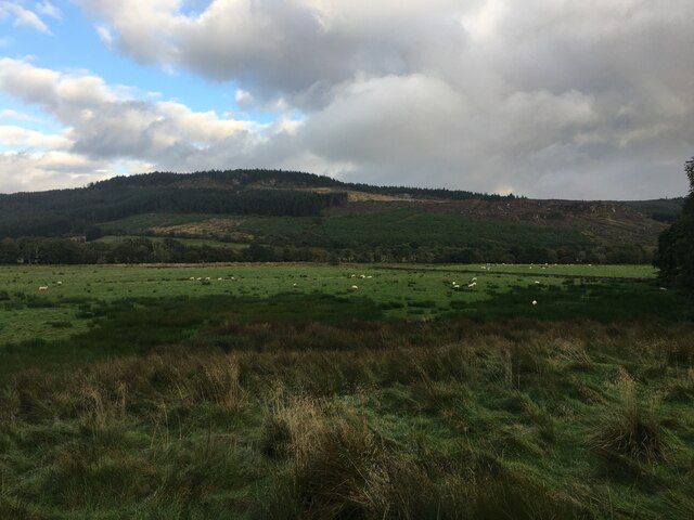
The village is surrounded by stunning natural beauty, nestled between rolling hills and overlooking the crystal-clear waters of Loch Feochan. Its strategic location makes it a popular destination for outdoor enthusiasts, offering ample opportunities for hiking, fishing, and boating. The nearby Argyll Forest Park is a haven for nature lovers, boasting ancient woodlands, breathtaking waterfalls, and diverse wildlife.
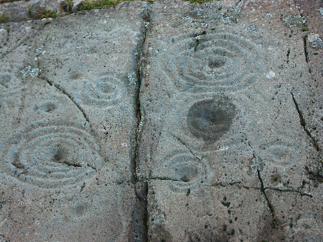
Bridgend boasts a rich history, with evidence of human settlement dating back thousands of years. Visitors can explore the ruins of Dunstaffnage Castle, a 13th-century fortress situated just a short distance away. The castle's imposing structure and panoramic views provide a fascinating glimpse into Scotland's past.
Despite its small size, Bridgend offers essential amenities to its residents and visitors. The village has a primary school, a post office, a local shop, and a charming pub that serves as a gathering place for locals and tourists alike. For more extensive shopping and entertainment options, the bustling town of Oban is readily accessible.
In summary, Bridgend is a hidden gem in the heart of Argyllshire, offering a serene and idyllic escape from the bustle of city life. Its breathtaking natural surroundings, rich history, and friendly community make it a must-visit destination for those seeking an authentic Scottish experience.
If you have any feedback on the listing, please let us know in the comments section below.
Bridgend Images
Images are sourced within 2km of 56.080745/-5.4513013 or Grid Reference NR8592. Thanks to Geograph Open Source API. All images are credited.


Bridgend is located at Grid Ref: NR8592 (Lat: 56.080745, Lng: -5.4513013)
Unitary Authority: Argyll and Bute
Police Authority: Argyll and West Dunbartonshire
What 3 Words
///diverting.sprawls.glare. Near Lochgilphead, Argyll & Bute
Nearby Locations
Related Wikis
Cairnbaan
Cairnbaan (Scottish Gaelic: An Càrn Bàn) is a village situated on the Crinan Canal, in Argyll and Bute, western Scotland. Cairnbaan is about halfway between...
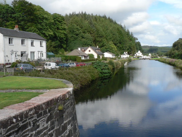
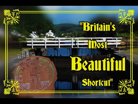
Crinan Canal
The Crinan Canal between Crinan and Ardrishaig in Argyll and Bute in the west of Scotland is operated by Scottish Canals. The canal, which opened in 1801...
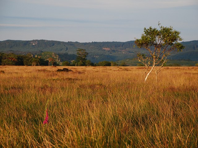
Moine Mhòr
Moine Mhòr ("Great Moss" in Scottish Gaelic) encompasses a large area of raised bog in the Kilmartin Glen area of Argyll and Bute, Scotland. As well as...
Loch A' Bharain
Loch A' Bharain (the Baron's Loch) is an impounding reservoir in Scotland. Loch A' Bharain directly sits on the north bank of the Crinan Canal beside lock...

Argyll and Bute
Argyll and Bute (Scots: Argyll an Buit; Scottish Gaelic: Earra-Ghàidheal agus Bòd, pronounced [ɛrˠəˈɣɛːəlˠ̪ akəs̪ ˈpɔːtʲ]) is one of 32 unitary council...
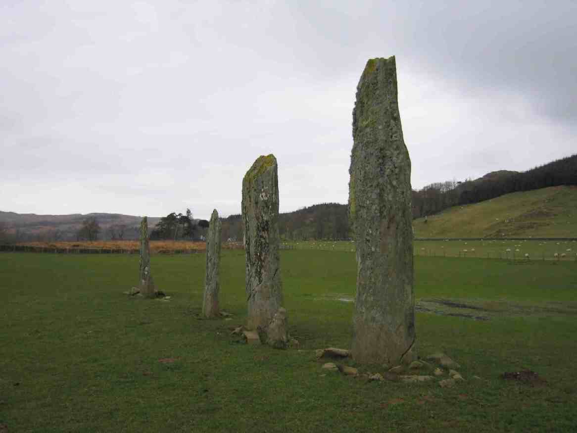
Ballymeanoch
Ballymeanoch (Scottish Gaelic: Baile Meadhonach - the middle settlement) is a complex of neolithic structures located in Kilmartin Glen, Scotland. It includes...
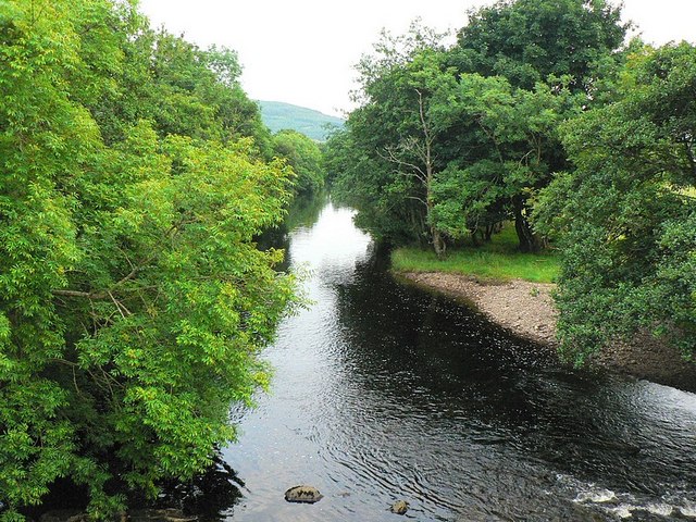
River Add
The River Add (Scottish Gaelic: Abhainn Àd) is a river which runs through Argyll and Bute on the West of Scotland. Historically, it was known as the river...
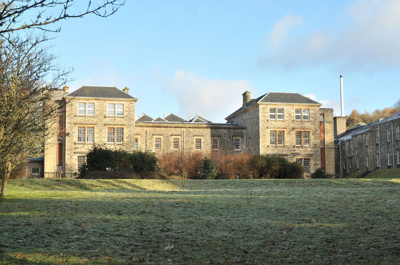
Argyll and Bute Hospital
Argyll and Bute Hospital was a mental health facility in Lochgilphead, Scotland. The original building (sometimes referred to as the West House) is a Grade...
Related Videos

𝕮𝖗𝖎𝖓𝖆𝖓 𝕮𝖆𝖓𝖆𝖑, 𝕸𝖆𝖈𝕿𝖆𝖛𝖎𝖘𝖍 𝖘𝖙𝖗𝖔𝖓𝖌𝖍𝖔𝖑𝖉, 𝕬𝖗𝖌𝖞𝖑𝖑, 𝕰𝖝𝖕𝖑𝖔𝖗𝖎𝖓𝖌 𝕾𝖈𝖔𝖙𝖑𝖆𝖓𝖉'𝖘 𝕳𝖎𝖘𝖙𝖔𝖗𝖞
Crinan Canal, MacTavish stronghold, Argyll, Exploring Scotland's History A trip along the full length of the Crinan Canal. We look ...

Dunadd Fort
Nat Geo2019 Hike at Dunadd Fort.
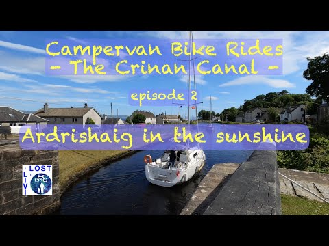
Campervan Bike Rides - The Crinan Canal - Ardrishaig in the Sunshine
Episode 2 of my epic series from my campervan trip to ride The Crinan Canal on my Brompton. Join me on my gongoozling ...
Nearby Amenities
Located within 500m of 56.080745,-5.4513013Have you been to Bridgend?
Leave your review of Bridgend below (or comments, questions and feedback).