Cartsdyke

Settlement in Renfrewshire

Scotland

Cartsdyke

Greenock Health & Care Centre The new health centre on Wellington Street, on the site of the former Wellington Academy. Opened in 2021 to replace the old health centre on nearby Duncan Street.
Greenock Health & Care Centre Credit: Thomas Nugent

Cartsdyke is a small village located in the county of Renfrewshire, Scotland. Situated on the southern bank of the River Clyde, it is a part of the larger town of Greenock. Cartsdyke has a rich history that dates back to the industrial revolution when it played a significant role in the shipbuilding and maritime industries.

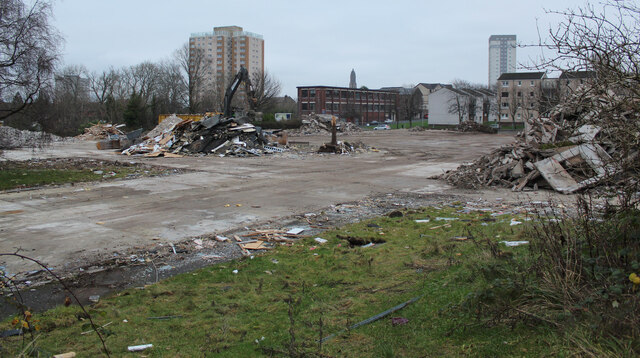
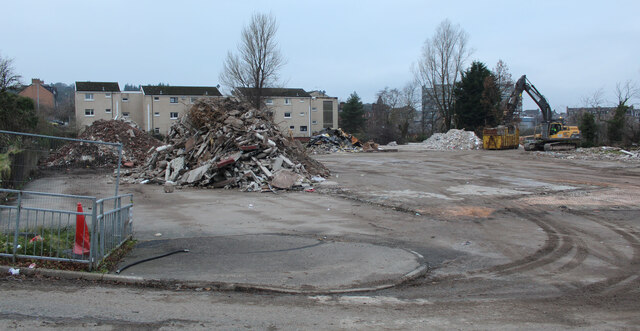
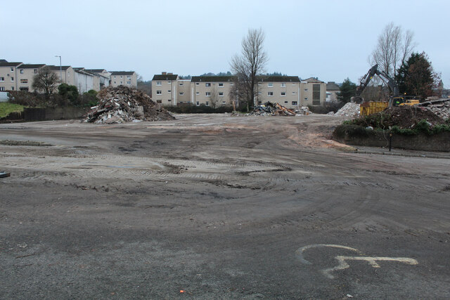
The village is known for its close proximity to the Cartsburn area, which was once a bustling center for shipbuilding. In the late 19th and early 20th centuries, Cartsdyke was home to several shipyards that constructed various vessels, including steamships and warships. The village served as an important hub for the transportation of goods and people along the River Clyde.

Today, Cartsdyke is a residential area with a distinct maritime character. The village retains some of its industrial heritage, with remnants of old shipyards and warehouses still visible along the riverfront. The area offers picturesque views of the Clyde estuary and is a popular spot for leisurely walks and fishing.

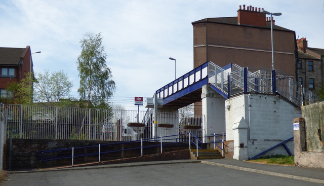
Cartsdyke is well-connected to the surrounding areas via road and rail links. The village has its own train station, providing easy access to Greenock and other nearby towns. It also benefits from a range of amenities, including local shops, schools, and recreational facilities.

Overall, Cartsdyke is a charming village that combines its industrial past with a tranquil riverside setting, making it an attractive place to live and visit for those interested in maritime history and natural beauty.

If you have any feedback on the listing, please let us know in the comments section below.
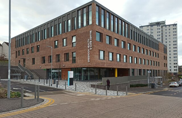
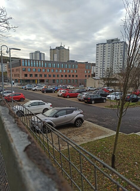
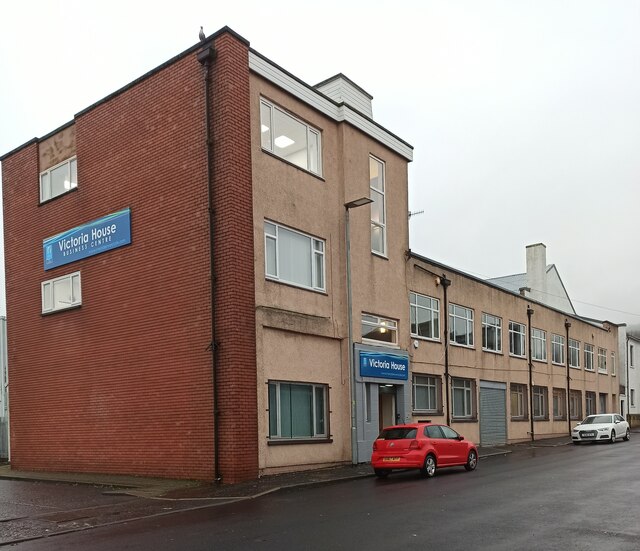
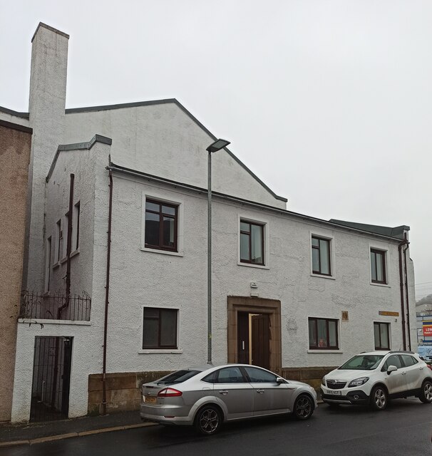
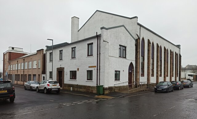
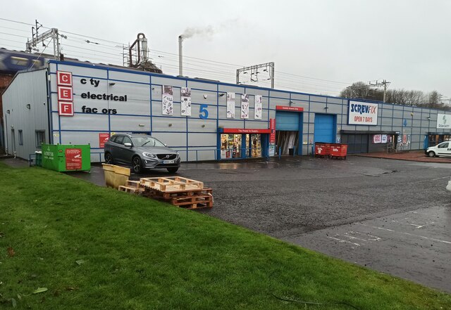
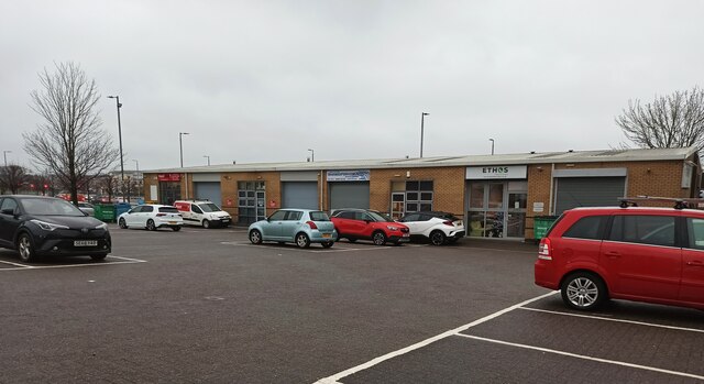
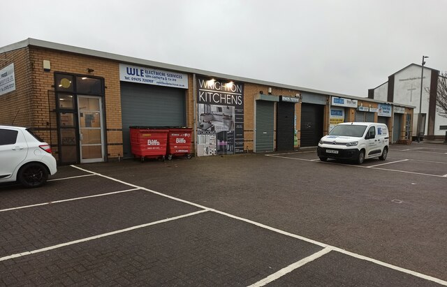
Cartsdyke Images

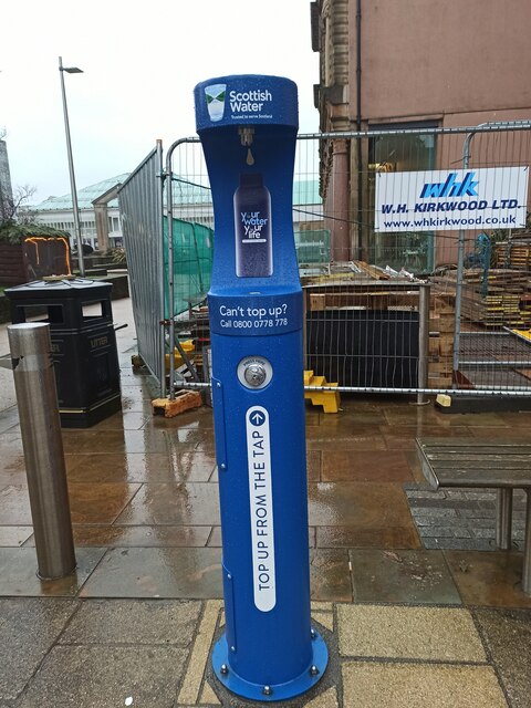
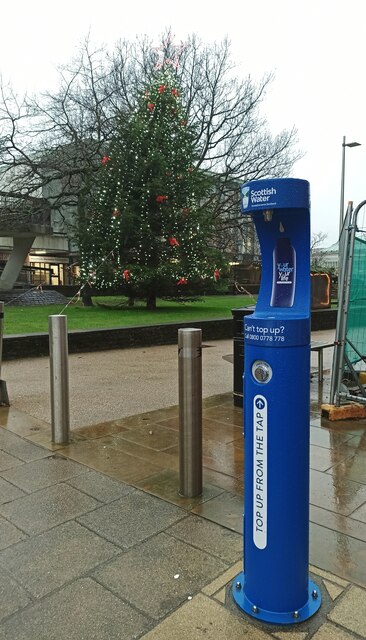
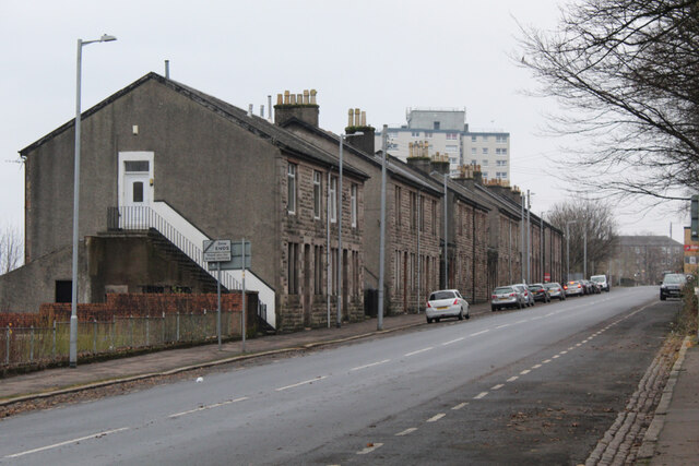
Images are sourced within 2km of 55.939904/-4.738521 or Grid Reference NS2975. Thanks to Geograph Open Source API. All images are credited.

Greenock Health & Care Centre The new health centre on Wellington Street, on the site of the former Wellington Academy. Opened in 2021 to replace the old health centre on nearby Duncan Street.
Greenock Health & Care Centre
The new health centre on Wellington Street, on the site of the former Wellington Academy. Opened in 2021 to replace the old health centre on nearby Duncan Street.
Greenock  Health  & Care Centre  car park Serving the new (2021) health centre on Wellington Street, which is in the background.
Greenock Health & Care Centre car park
Serving the new (2021) health centre on Wellington Street, which is in the background.
Railway line in central Greenock  The Gourock branch of the Inverclyde Line runs through three tunnels between  Greenock Central station and the terminus at Gourock. This short stretch of exposed track is at King Street, with Greenock telephone exchange prominent.
Railway line in central Greenock
The Gourock branch of the Inverclyde Line runs through three tunnels between Greenock Central station and the terminus at Gourock. This short stretch of exposed track is at King Street, with Greenock telephone exchange prominent.
The Oak Mall The Crown  Street  entrance to the mall, with the A78 High Street above.
The Oak Mall
The Crown Street entrance to the mall, with the A78 High Street above.
Victoria House business centre  On East Blackwhall Street, near Victoria Harbour.
Victoria House business centre
On East Blackwhall Street, near Victoria Harbour.
Greenock Baptist Church  The former St Andrew's Church became home to Greenock Baptist Church in January 2015. Greenock Baptist Church was formed in 2008 when George Square Baptist Church and Orangefield Baptist Church united. This view is of the East Blackhall Street side of the building.
Greenock Baptist Church
The former St Andrew's Church became home to Greenock Baptist Church in January 2015. Greenock Baptist Church was formed in 2008 when George Square Baptist Church and Orangefield Baptist Church united. This view is of the East Blackhall Street side of the building.
Greenock Baptist  Church  The former St Andrew's Church became home to Greenock Baptist Church in January 2015. Greenock Baptist Church was formed in 2008 when George Square Baptist Church and Orangefield Baptist Church united. This view is from Carnock Street at East Blackhall Street.
Greenock Baptist Church
The former St Andrew's Church became home to Greenock Baptist Church in January 2015. Greenock Baptist Church was formed in 2008 when George Square Baptist Church and Orangefield Baptist Church united. This view is from Carnock Street at East Blackhall Street.
Trade retail units on Carwood Street Plumbing and electrical suppliers are amongst the types of businesses which operate here.
Trade retail units on Carwood Street
Plumbing and electrical suppliers are amongst the types of businesses which operate here.
Empress Court Home to a variety of businesses, just off the A8 road at Victoria Harbour.
Empress Court
Home to a variety of businesses, just off the A8 road at Victoria Harbour.
Empress Court  Home to a variety of businesses, just off the A8 road at Victoria Harbour.
Empress Court
Home to a variety of businesses, just off the A8 road at Victoria Harbour.
Greenock Town Hall The hall is currently  operating as a vaccination centre, mainly providing boosters to combat the New Omicron variant of Covid-19. This view shows the east end of the carriageway (currently under renovation) which runs through the building.

See also <a href="https://www.geograph.org.uk/photo/7059289">NS2776 : Gate at Greenock Town Hall</a>.
Greenock Town Hall
The hall is currently operating as a vaccination centre, mainly providing boosters to combat the New Omicron variant of Covid-19. This view shows the east end of the carriageway (currently under renovation) which runs through the building. See also NS2776 : Gate at Greenock Town Hall.
Water fountain at Clyde Square  One of over a hundred public drinking water taps  which have been installed around Scotland by Scottish Water.

See it and the others on a searchable map: <span class="nowrap"><a title="https://www.yourwateryourlife.co.uk/find-your-nearest-top-up-tap/" rel="nofollow ugc noopener" href="https://www.yourwateryourlife.co.uk/find-your-nearest-top-up-tap/">Link</a><img style="margin-left:2px;" alt="External link" title="External link - shift click to open in new window" src="https://s1.geograph.org.uk/img/external.png" width="10" height="10"/></span> .
Water fountain at Clyde Square
One of over a hundred public drinking water taps which have been installed around Scotland by Scottish Water. See it and the others on a searchable map: LinkExternal link .
Gate at Greenock Town Hall The hall is currently operating as a vaccination centre. This gate is at the Clyde Square entrance. See also <a href="https://www.geograph.org.uk/photo/7055175">NS2776 : Greenock Town Hall</a>.
Gate at Greenock Town Hall
The hall is currently operating as a vaccination centre. This gate is at the Clyde Square entrance. See also NS2776 : Greenock Town Hall.
Dempster Street Stone-built terraced houses on the north side of the street, with Whinhill Court towerblock in the distance.
Dempster Street
Stone-built terraced houses on the north side of the street, with Whinhill Court towerblock in the distance.
Site of Greenock Health Centre The health centre on Duncan Street closed in 2021, having been replaced by a new Health and Care Centre on nearby Wellington Street. Royal Court (left) and Whinhill Court towerblocks can also be seen.

Old health centre <a href="https://www.geograph.org.uk/photo/595548">NS2775 : Greenock Health Centre</a>.
New health centre <a href="https://www.geograph.org.uk/photo/7029994">NS2775 : Greenock Health & Care Centre</a>.
Site of Greenock Health Centre
The health centre on Duncan Street closed in 2021, having been replaced by a new Health and Care Centre on nearby Wellington Street. Royal Court (left) and Whinhill Court towerblocks can also be seen. Old health centre NS2775 : Greenock Health Centre. New health centre NS2775 : Greenock Health & Care Centre.
Site of Greenock Health Centre The health centre on Duncan Street closed in 2021, having been replaced by a new Health and Care Centre on nearby Wellington Street.

Old health centre <a href="https://www.geograph.org.uk/photo/595548">NS2775 : Greenock Health Centre</a>.
New health centre <a href="https://www.geograph.org.uk/photo/7029994">NS2775 : Greenock Health & Care Centre</a>.
Site of Greenock Health Centre
The health centre on Duncan Street closed in 2021, having been replaced by a new Health and Care Centre on nearby Wellington Street. Old health centre NS2775 : Greenock Health Centre. New health centre NS2775 : Greenock Health & Care Centre.
Show me another place!

Cartsdyke is located at Grid Ref: NS2975 (Lat: 55.939904, Lng: -4.738521)

Unitary Authority: Inverclyde

Police Authority: Renfrewshire and Inverclyde

What 3 Words

///hiking.proud.slowly. Near Greenock, Inverclyde

Related Wikis

Cartsdyke

Cartsdyke (Scots: Cairstdyke, Scottish Gaelic: GĂ radh Cairte), formerly known as Crawfurdsdyke, is a suburb of the town of Greenock, Scotland.Crawfurdsdyke...

Easter Greenock Castle

Easter Greenock Castle was a castle of unknown design near the burgh of Greenock, Scotland. == History == === Construction and location === Built sometime...

Cartsdyke railway station

Cartsdyke railway station serves part of the town of Greenock, Scotland. The station is on the Inverclyde Line, 22 miles (35 km) west of Glasgow Central...

Whinhill railway station

Whinhill railway station is a railway station located in the east of the town of Greenock, Inverclyde, Scotland. The station is managed by ScotRail and...

Nearby Amenities

Located within 500m of 55.939904,-4.738521
Cartsdyke
Naptan AtcoCode: 9100CRTSDYK
Network: National Rail
Network Website: https://www.nationalrail.co.uk/stations/cdy/
Network Wikidata: Q26334
Operator: ScotRail
Operator Website: https://www.scotrail.co.uk/plan-your-journey/stations-and-facilities/cdy
Operator Wikidata: Q18356161
Public Transport: station
Railway: station
Ref Crs: CDY
Train: yes
Wikidata: Q2466928
Wikipedia: en:Cartsdyke railway station
Lat/Long: 55.9422124/-4.7323622
Nursing Home
Kincaid House
Lat/Long: 55.9435818/-4.7362066
Turning Circle
Lat/Long: 55.9382869/-4.7430929
Noexit: yes
Lat/Long: 55.9390115/-4.739245
Cartsburn Junction
Railway: junction
Wikidata: Q106041447
Lat/Long: 55.9393013/-4.7457365
Turning Circle
Source: Bing
Lat/Long: 55.9419365/-4.7436247
Turning Circle
Source: Bing
Lat/Long: 55.9420762/-4.7446545
Turning Circle
Lat/Long: 55.9380688/-4.7411814
Crossing
Button Operated: yes
Crossing: traffic_signals
Crossing Ref: pelican
Traffic Signals Sound: yes
Lat/Long: 55.9435573/-4.7430084
Post Box
Lat/Long: 55.9425985/-4.7433582
Cartsdyke
Naptan AtcoCode: 9100CRTSDYK
Lat/Long: 55.9419937/-4.7316634
Bridgend
Place: suburb
Lat/Long: 55.9396156/-4.7320706
Bus Stop
Hawick Court
Bus: yes
Departures Board: timetable
Naptan AtcoCode: 6130110
Naptan NaptanCode: 46823782
Public Transport: platform
Shelter: yes
Lat/Long: 55.9401016/-4.7449493
Bus Stop
Kelso Court
Bus: yes
Departures Board: timetable
Public Transport: platform
Shelter: yes
Lat/Long: 55.9402458/-4.7439247
Bus Stop
Belville Avenue
Bus: yes
Departures Board: timetable
Public Transport: platform
Shelter: no
Lat/Long: 55.940783/-4.7420029
Bus Stop
Belville Avenue
Bus: yes
Departures Board: timetable
Public Transport: platform
Shelter: no
Lat/Long: 55.9409512/-4.7413001
Bus Stop
Serpentine Walk
Bus: yes
Departures Board: timetable
Naptan AtcoCode: 6130113
Naptan NaptanCode: 46823492
Public Transport: platform
Shelter: no
Lat/Long: 55.9414499/-4.7403613
Bus Stop
East William Street
Bus: yes
Departures Board: timetable
Naptan AtcoCode: 6130114
Naptan NaptanCode: 46823296
Public Transport: platform
Shelter: yes
Lat/Long: 55.9415911/-4.7391222
Bus Stop
Belville Avenue
Bus: yes
Departures Board: timetable
Naptan AtcoCode: 6130116
Naptan NaptanCode: 46823875
Public Transport: platform
Shelter: no
Lat/Long: 55.942234/-4.7370193
Bus Stop
Belville Avenue
Bus: yes
Departures Board: timetable
Public Transport: platform
Shelter: yes
Lat/Long: 55.9421079/-4.7369979
Cartsdyke
Place: suburb
Lat/Long: 55.9420352/-4.7361503
Bus Stop
Knowe Road
Bench: yes
Bus: yes
Departures Board: timetable
Naptan AtcoCode: 6130148
Naptan NaptanCode: 46823974
Public Transport: platform
Shelter: yes
Lat/Long: 55.9436463/-4.7422259
Bus Stop
Knowe Road
Bus: yes
Departures Board: timetable
Public Transport: platform
Shelter: yes
Lat/Long: 55.9434465/-4.7423489
Noexit: yes
Lat/Long: 55.9417928/-4.7351991
Generator Method: photovoltaic
Generator Output Electricity: yes
Generator Source: solar
Generator Type: solar_photovoltaic_panel
Power: generator
Lat/Long: 55.9411864/-4.7392154
Generator Method: photovoltaic
Generator Output Electricity: yes
Generator Source: solar
Generator Type: solar_photovoltaic_panel
Power: generator
Lat/Long: 55.9411082/-4.7391682
Generator Method: photovoltaic
Generator Output Electricity: yes
Generator Source: solar
Generator Type: solar_photovoltaic_panel
Power: generator
Lat/Long: 55.9410609/-4.7391171
Generator Method: photovoltaic
Generator Output Electricity: yes
Generator Source: solar
Generator Type: solar_photovoltaic_panel
Power: generator
Lat/Long: 55.9410014/-4.7390561
Generator Method: photovoltaic
Generator Output Electricity: yes
Generator Source: solar
Generator Type: solar_photovoltaic_panel
Power: generator
Lat/Long: 55.9409221/-4.7387277
Generator Method: photovoltaic
Generator Output Electricity: yes
Generator Source: solar
Generator Type: solar_photovoltaic_panel
Power: generator
Lat/Long: 55.9409276/-4.7385921
Generator Method: photovoltaic
Generator Output Electricity: yes
Generator Source: solar
Generator Type: solar_photovoltaic_panel
Power: generator
Lat/Long: 55.940932/-4.73848
Generator Method: photovoltaic
Generator Output Electricity: yes
Generator Source: solar
Generator Type: solar_photovoltaic_panel
Power: generator
Lat/Long: 55.9412489/-4.7385022
Generator Method: photovoltaic
Generator Output Electricity: yes
Generator Source: solar
Generator Type: solar_photovoltaic_panel
Power: generator
Lat/Long: 55.9412851/-4.7383842
Generator Method: photovoltaic
Generator Output Electricity: yes
Generator Source: solar
Generator Type: solar_photovoltaic_panel
Power: generator
Lat/Long: 55.9413088/-4.7382906
Generator Method: photovoltaic
Generator Output Electricity: yes
Generator Source: solar
Generator Type: solar_photovoltaic_panel
Power: generator
Lat/Long: 55.9413312/-4.738206
Generator Method: photovoltaic
Generator Output Electricity: yes
Generator Source: solar
Generator Type: solar_photovoltaic_panel
Power: generator
Lat/Long: 55.9413561/-4.7381192
Generator Method: photovoltaic
Generator Output Electricity: yes
Generator Source: solar
Generator Type: solar_photovoltaic_panel
Power: generator
Lat/Long: 55.9414222/-4.7379255
Generator Method: photovoltaic
Generator Output Electricity: yes
Generator Source: solar
Generator Type: solar_photovoltaic_panel
Power: generator
Lat/Long: 55.9413973/-4.737803
Generator Method: photovoltaic
Generator Output Electricity: yes
Generator Source: solar
Generator Type: solar_photovoltaic_panel
Power: generator
Lat/Long: 55.9413798/-4.7377184
Generator Method: photovoltaic
Generator Output Electricity: yes
Generator Source: solar
Generator Type: solar_photovoltaic_panel
Power: generator
Lat/Long: 55.9413599/-4.7376204
Generator Method: photovoltaic
Generator Output Electricity: yes
Generator Source: solar
Generator Type: solar_photovoltaic_panel
Power: generator
Lat/Long: 55.9413424/-4.7375291
Generator Method: photovoltaic
Generator Output Electricity: yes
Generator Source: solar
Generator Type: solar_photovoltaic_panel
Power: generator
Lat/Long: 55.9409746/-4.7382082
Generator Method: photovoltaic
Generator Output Electricity: yes
Generator Source: solar
Generator Type: solar_photovoltaic_panel
Power: generator
Lat/Long: 55.9408985/-4.7379121
Generator Method: photovoltaic
Generator Output Electricity: yes
Generator Source: solar
Generator Type: solar_photovoltaic_panel
Power: generator
Lat/Long: 55.9408411/-4.7376293
Generator Method: photovoltaic
Generator Output Electricity: yes
Generator Source: solar
Generator Type: solar_photovoltaic_panel
Power: generator
Lat/Long: 55.9416251/-4.737512
Generator Method: photovoltaic
Generator Output Electricity: yes
Generator Source: solar
Generator Type: solar_photovoltaic_panel
Power: generator
Lat/Long: 55.941661/-4.7376052
Generator Method: photovoltaic
Generator Output Electricity: yes
Generator Source: solar
Generator Type: solar_photovoltaic_panel
Power: generator
Lat/Long: 55.9416959/-4.7376861
Generator Method: photovoltaic
Generator Output Electricity: yes
Generator Source: solar
Generator Type: solar_photovoltaic_panel
Power: generator
Lat/Long: 55.9416007/-4.7374104
Generator Method: photovoltaic
Generator Output Electricity: yes
Generator Source: solar
Generator Type: solar_photovoltaic_panel
Power: generator
Lat/Long: 55.9415868/-4.7372985
Generator Method: photovoltaic
Generator Output Electricity: yes
Generator Source: solar
Generator Type: solar_photovoltaic_panel
Power: generator
Lat/Long: 55.9417562/-4.7366582
Generator Method: photovoltaic
Generator Output Electricity: yes
Generator Source: solar
Generator Type: solar_photovoltaic_panel
Power: generator
Lat/Long: 55.9417051/-4.736681
Generator Method: photovoltaic
Generator Output Electricity: yes
Generator Source: solar
Generator Type: solar_photovoltaic_panel
Power: generator
Lat/Long: 55.9416483/-4.7367286
Generator Method: photovoltaic
Generator Output Electricity: yes
Generator Source: solar
Generator Type: solar_photovoltaic_panel
Power: generator
Lat/Long: 55.9414376/-4.7368675
Generator Method: photovoltaic
Generator Output Electricity: yes
Generator Source: solar
Generator Type: solar_photovoltaic_panel
Power: generator
Lat/Long: 55.9414945/-4.7368198
Generator Method: photovoltaic
Generator Output Electricity: yes
Generator Source: solar
Generator Type: solar_photovoltaic_panel
Power: generator
Lat/Long: 55.9415456/-4.736797
Generator Method: photovoltaic
Generator Output Electricity: yes
Generator Source: solar
Generator Type: solar_photovoltaic_panel
Power: generator
Lat/Long: 55.9411974/-4.7370022
Generator Method: photovoltaic
Generator Output Electricity: yes
Generator Source: solar
Generator Type: solar_photovoltaic_panel
Power: generator
Lat/Long: 55.9413018/-4.7369379
Generator Method: photovoltaic
Generator Output Electricity: yes
Generator Source: solar
Generator Type: solar_photovoltaic_panel
Power: generator
Lat/Long: 55.9413529/-4.7369151
Generator Method: photovoltaic
Generator Output Electricity: yes
Generator Source: solar
Generator Type: solar_photovoltaic_panel
Power: generator
Lat/Long: 55.9410918/-4.7371804
Generator Method: photovoltaic
Generator Output Electricity: yes
Generator Source: solar
Generator Type: solar_photovoltaic_panel
Power: generator
Lat/Long: 55.9411486/-4.7370291
Generator Method: photovoltaic
Generator Output Electricity: yes
Generator Source: solar
Generator Type: solar_photovoltaic_panel
Power: generator
Lat/Long: 55.9381754/-4.7412249
Noexit: yes
Lat/Long: 55.9403463/-4.7338976
Give Way
Direction: forward
Lat/Long: 55.9410849/-4.7337796
Give Way
Direction: backward
Lat/Long: 55.9411316/-4.7336381
Give Way
Direction: forward
Traffic Sign: GB:1003A
Lat/Long: 55.941619/-4.732125
Give Way
Direction: backward
Lat/Long: 55.9417865/-4.734075
Give Way
Direction: backward
Lat/Long: 55.940678/-4.7351134
Give Way
Direction: backward
Lat/Long: 55.9373903/-4.7442395
Bus Stop
Border Street
Bus: yes
Departures Board: timetable
Operator: McGill's
Public Transport: platform
Ref: 6130135
Shelter: no
Website: https://www.mcgillsbuses.co.uk/stops/6130135
Lat/Long: 55.9403265/-4.7331921
Bus Stop
Grosvenor Road
Bus: yes
Departures Board: timetable
Operator: McGill's
Public Transport: platform
Ref: 6130134
Shelter: no
Website: https://www.mcgillsbuses.co.uk/stops/6130134
Lat/Long: 55.9390463/-4.7322365
Bus Stop
Grosvenor Road
Bus: yes
Departures Board: timetable
Operator: McGill's
Public Transport: platform
Ref: 6130133
Shelter: no
Website: https://www.mcgillsbuses.co.uk/stops/6130133
Lat/Long: 55.9390421/-4.7320413
Noexit: yes
Lat/Long: 55.9390007/-4.7389308
Barrier: bollard
Lat/Long: 55.9419213/-4.7398691
Bus Stop
Border Street
Bus: yes
Departures Board: timetable
Operator: McGill's
Public Transport: platform
Ref: 6130136
Shelter: no
Website: https://www.mcgillsbuses.co.uk/stops/6130136
Lat/Long: 55.9403242/-4.7334028
Bus Stop
Bawhirley Road
Bus: yes
Departures Board: timetable
Operator: McGill's
Public Transport: platform
Ref: 6130118
Shelter: yes
Website: https://www.mcgillsbuses.co.uk/stops/6130118
Lat/Long: 55.9415674/-4.7337756
Bus Stop
Bawhirley Road
Bus: yes
Departures Board: timetable
Operator: McGills
Public Transport: platform
Ref: 6130117
Shelter: yes
Website: https://www.mcgillsbuses.co.uk/stops/6130117
Lat/Long: 55.941821/-4.7340874
Bench
Backrest: no
Material: wood
Operational Status: needs_maintenance
Lat/Long: 55.9416244/-4.7336184
Toilets
Lat/Long: 55.9406322/-4.7442167
Bicycle Parking
Lat/Long: 55.9419428/-4.7392242
Tourism: viewpoint
Lat/Long: 55.9412665/-4.7423887
Man Made: cairn
Lat/Long: 55.9404045/-4.7445577
Waste Basket
Lat/Long: 55.9395744/-4.7325215
Man Made: street_cabinet
Utility: telecom
Lat/Long: 55.9399435/-4.7328171
Waste Basket
Waste: dog_excrement
Lat/Long: 55.9407962/-4.7333855
Man Made: street_cabinet
Utility: telecom
Lat/Long: 55.9410331/-4.7335029
Man Made: street_cabinet
Operational Status: non_operational
Utility: telecom
Lat/Long: 55.9410491/-4.7335125
Waste Basket
Waste: dog_excrement
Lat/Long: 55.9413193/-4.733375
Waste Basket
Lat/Long: 55.9415284/-4.7337506
Give Way
Direction: backward
Lat/Long: 55.9421429/-4.7341636
Give Way
Direction: backward
Lat/Long: 55.9421872/-4.7343956
Man Made: street_cabinet
Utility: telecom
Lat/Long: 55.9416412/-4.732431
Waste Basket
Lat/Long: 55.9415879/-4.7321025
Grit Bin
Lat/Long: 55.9413811/-4.7312352
Give Way
Direction: backward
Traffic Sign: GB:1003A
Lat/Long: 55.9414487/-4.7314357
Give Way
Direction: backward
Traffic Sign: GB:1003A
Lat/Long: 55.9416677/-4.7319897
Give Way
Direction: forward
Traffic Sign: GB:1003A
Lat/Long: 55.9400892/-4.733245
Give Way
Direction: forward
Traffic Sign: GB:1003A
Lat/Long: 55.9387829/-4.7319239
Crossing
Crossing: uncontrolled
Crossing Island: no
Tactile Paving: no
Lat/Long: 55.9388337/-4.7319704
Post Box
Operator: Royal Mail
Operator Wikidata: Q638098
Lat/Long: 55.9394066/-4.7326924
Speed Camera
Direction: 160
Maxspeed: 20 mph
Lat/Long: 55.9397982/-4.7330001
Speed Camera
Direction: 340
Maxspeed: 20 mph
Lat/Long: 55.9400884/-4.7330999
Give Way
Direction: forward
Traffic Sign: GB:1003A
Lat/Long: 55.9383313/-4.7330641
Give Way
Direction: forward
Traffic Sign: GB:1003A
Lat/Long: 55.937856/-4.7338929
Give Way
Direction: backward
Traffic Sign: GB:1003A
Lat/Long: 55.9378689/-4.7341597
Easter Greenock Castle (site of)
Description: Though the lands were owned by the Crawfurds from the end of the 14th century, they do not appear to have stayed here until about the mid-16th century.
Historic: archaeological_site
Lat/Long: 55.9371075/-4.7349889
The data included in this document is from www.openstreetmap.org. The data is made available under ODbL.

Have you been to Cartsdyke?

Leave your review of Cartsdyke below (or comments, questions and feedback).