Tandlehill

Settlement in Renfrewshire

Scotland

Tandlehill

National Cycle Network Route 7 Looking towards Kilbarchan.
National Cycle Network Route 7 Credit: Thomas Nugent

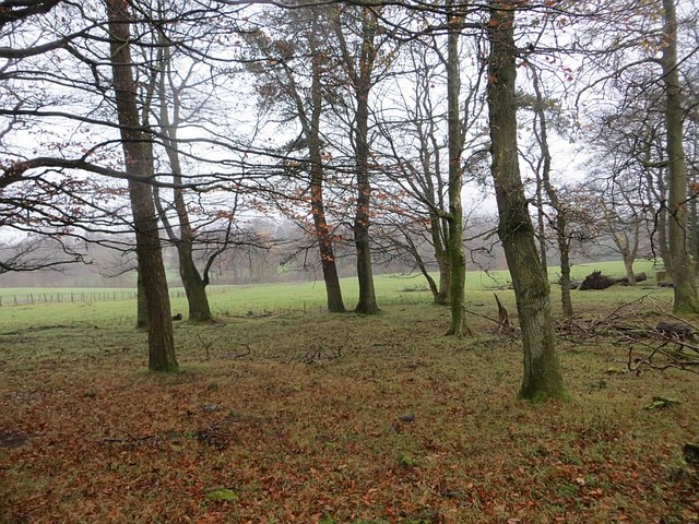
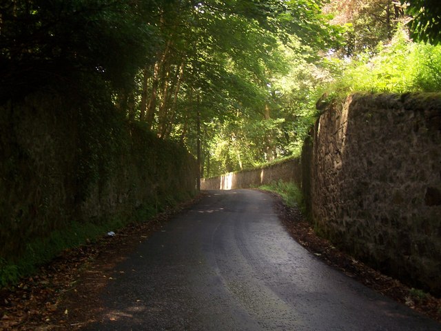
Tandlehill is a small village located in the historic county of Renfrewshire, Scotland. Situated just south of the larger town of Paisley, Tandlehill is surrounded by picturesque countryside and offers a tranquil setting for its residents. The village is nestled on a hill, providing stunning views of the surrounding landscape.

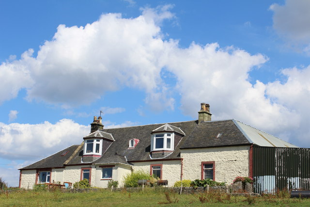
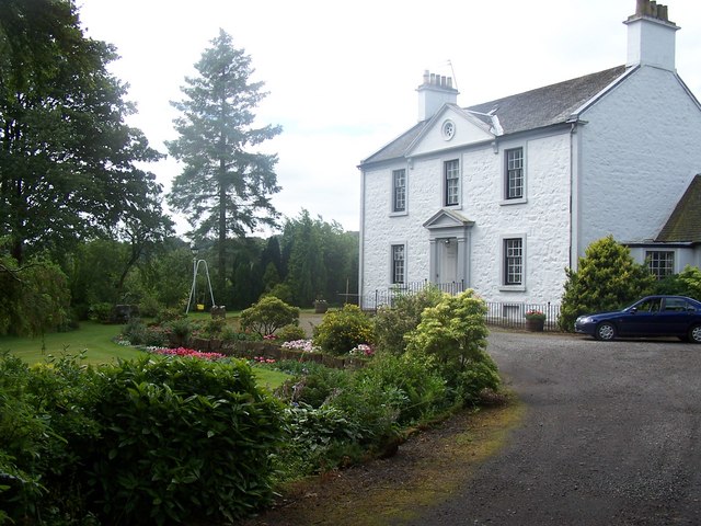
Tandlehill has a rich history, with evidence of human settlement in the area dating back to ancient times. The village is home to several notable landmarks, including Tandlehill House, a grand Georgian mansion that stands as a testament to the area's past prosperity. The house is now privately owned and not open to the public.

The village itself is relatively small, with a tight-knit community of residents. It has a primary school, which serves the local children, and there are also a few small shops and amenities available to locals. Tandlehill benefits from its proximity to Paisley, where residents can access a wider range of services, including shopping centers, healthcare facilities, and cultural attractions.

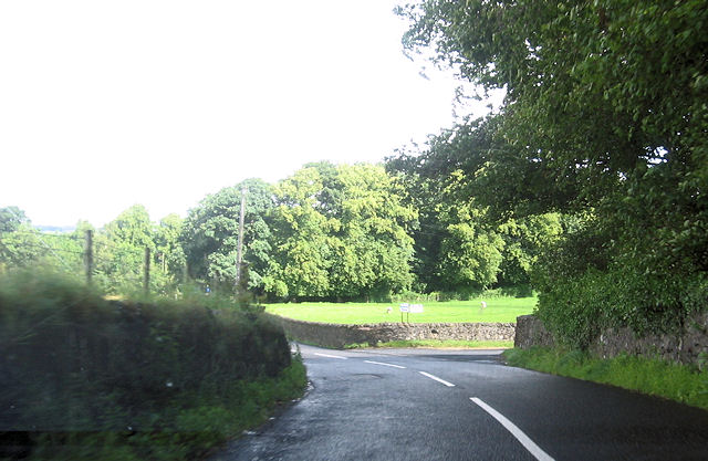
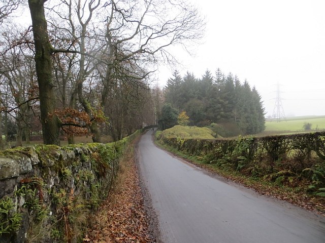
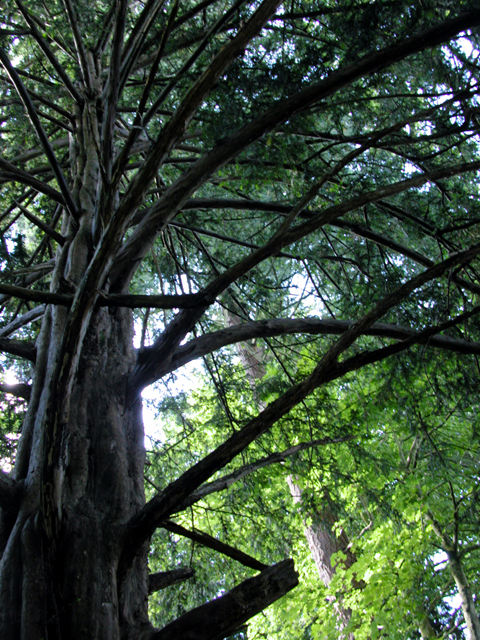
Nature lovers will appreciate Tandlehill's close proximity to several outdoor recreational areas. The village is surrounded by rolling hills and open countryside, providing ample opportunities for walking, hiking, and other outdoor activities. The nearby Gleniffer Braes Country Park, with its extensive network of trails and stunning views, is a popular destination for both locals and visitors.

Overall, Tandlehill offers a peaceful and idyllic setting for those seeking a rural lifestyle while still having access to nearby amenities and attractions.

If you have any feedback on the listing, please let us know in the comments section below.
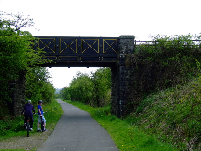
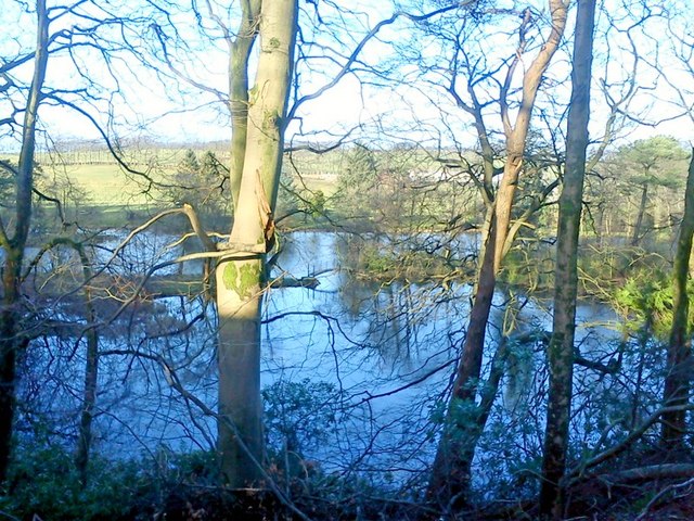
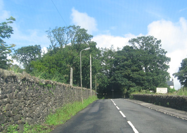
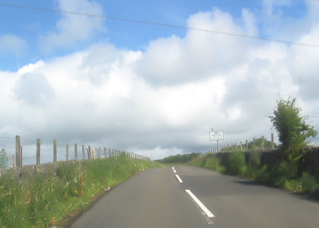
Tandlehill Images

Images are sourced within 2km of 55.831815/-4.5394793 or Grid Reference NS4162. Thanks to Geograph Open Source API. All images are credited.

National Cycle Network Route 7 Looking towards Kilbarchan.
National Cycle Network Route 7
Looking towards Kilbarchan.
National Cycle Network Route 7 Between Kilbarchan and Lochwinnoch.
National Cycle Network Route 7
Between Kilbarchan and Lochwinnoch.
Glentyan House lake, Kilbarchan Taken from road above.
Glentyan House lake, Kilbarchan
Taken from road above.
Locher Road at Forehouse Ward House riding stables to the right
Locher Road at Forehouse
Ward House riding stables to the right
Approaching sharp bend in Locher Road
Road junction to Pannell Farm
Sign for Wardhouse Riding School by Locher Road At the junction with Forehouse Road
Sign for Wardhouse Riding School by Locher Road
At the junction with Forehouse Road
Kibbleston
Kibbleston
Forehouse Road, Kilbarchan Glentyan policy wall on the left.
Forehouse Road, Kilbarchan
Glentyan policy wall on the left.
Strip wood, Glentyan Alongside Forehouse Road.
Strip wood, Glentyan
Alongside Forehouse Road.
West Renfrewshire from the air Kilbarchan is on the right, Bridge of Weir in the centre, with Kilmacolm, Port Glasgow and the Firth of Clyde in the distance.
West Renfrewshire from the air
Kilbarchan is on the right, Bridge of Weir in the centre, with Kilmacolm, Port Glasgow and the Firth of Clyde in the distance.
Glentyan Estate Woodland that forms part of Glentyan Estate, south of Burntshields Road, Kilbarchan.
Glentyan Estate
Woodland that forms part of Glentyan Estate, south of Burntshields Road, Kilbarchan.
Kilbarchan,  Forehouse
Kilbarchan, Forehouse
Kilbarchan, Burntshields Road A bridge once crossed the road at this point from Glentyan Estate to other parts of the Estate. A postcard dated 1906 names it "Roaring Bridge".
Kilbarchan, Burntshields Road
A bridge once crossed the road at this point from Glentyan Estate to other parts of the Estate. A postcard dated 1906 names it "Roaring Bridge".
Tree Clearing
Tree Clearing
Trees
Trees
Pylon
Pylon
Thirdpart Hall Farm View towards Howwood. The farm just over the grey bin.
Thirdpart Hall Farm
View towards Howwood. The farm just over the grey bin.
Show me another place!

Tandlehill is located at Grid Ref: NS4162 (Lat: 55.831815, Lng: -4.5394793)

Unitary Authority: Renfrewshire

Police Authority: Renfrewshire and Inverclyde

What 3 Words

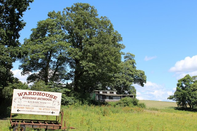
///powering.loosens.glove. Near Kilbarchan, Renfrewshire

Related Wikis

Nation Radio Scotland

Nation Radio Scotland (formerly XFM Scotland (2014), 96.3 Rock Radio Real XS, Q96 and 96.3QFM) is a Scottish Independent Local Radio station for Renfrewshire...

Renfrewshire

Renfrewshire () (Scots: Renfrewshire; Scottish Gaelic: Siorrachd Rinn FriĆ¹) is one of the 32 council areas of Scotland. The council area has the same name...

Kilbarchan railway station

Kilbarchan railway station was a railway station serving the village of Kilbarchan, Renfrewshire, Scotland. The station was part of the Dalry and North...

Milliken Park railway station

Milliken Park railway station serves the west end of Johnstone and the south west of the village of Kilbarchan in Renfrewshire, Scotland. The station is...

Kilbarchan

Kilbarchan (; Scottish Gaelic: Cill Bhearchain) is a village and civil parish in central Renfrewshire, in the west central Lowlands of Scotland. The village...

Cochrane Castle

Cochrane Castle was a castle, 1 mile (1.6 km) west of Johnstone, Renfrewshire, Scotland, near the Black Cart Water. == History == The property was owned...

Newfield Park, Johnstone

Newfield Park was a football ground in Johnstone, Scotland. It was the home ground of Johnstone F.C. from 1894 until the club folded in 1927. == History... ==

Brookfield, Renfrewshire

Brookfield is a small dormitory village in west central Renfrewshire, Scotland. It lies on the north of the A761 road, which runs through a number of towns...

Nearby Amenities

Located within 500m of 55.831815,-4.5394793
Crossing
Crossing: unmarked
Crossing Island: no
Crossing Markings: no
Tactile Paving: no
Lat/Long: 55.8302381/-4.5344132
Give Way
Lat/Long: 55.8304809/-4.5348328
Kilbarchan
Historic Railway: station
Railway: site
Wikidata: Q6406533
Wikipedia: en:Kilbarchan railway station
Lat/Long: 55.8320545/-4.5442937
Crossing
Crossing: unmarked
Crossing Island: yes
Crossing Markings: no
Tactile Paving: no
Lat/Long: 55.8294442/-4.5334815
E. Williams & Sons
Shop: butcher
Lat/Long: 55.8308279/-4.5369829
Post Box
Lat/Long: 55.8308054/-4.5370182
Shop: convenience
Lat/Long: 55.8307337/-4.5371076
Give Way
Direction: forward
Lat/Long: 55.8308986/-4.5354796
Give Way
Direction: forward
Lat/Long: 55.8309708/-4.5358836
Crossing
Crossing: unmarked
Crossing Island: no
Crossing Markings: no
Tactile Paving: no
Lat/Long: 55.8302622/-4.5343024
Give Way
Direction: forward
Lat/Long: 55.8304178/-4.534581
Give Way
Direction: forward
Lat/Long: 55.8306973/-4.5347803
Man Made: mast
Tower Type: communication
Lat/Long: 55.8340822/-4.5385921
Ncn Milepost: mills
Sustrans Ref: MP409
Lat/Long: 55.8332314/-4.5417372
Millikenpark
Place: neighbourhood
Lat/Long: 55.8298616/-4.5384994
Power: pole
Lat/Long: 55.8347845/-4.5337815
Power: pole
Lat/Long: 55.8349331/-4.5349189
Power: pole
Lat/Long: 55.8351074/-4.5362084
Power: pole
Lat/Long: 55.8352911/-4.537725
Power: pole
Lat/Long: 55.8350782/-4.5386249
Power: pole
Lat/Long: 55.8348793/-4.5394873
Power: pole
Lat/Long: 55.8346711/-4.5403248
Power: pole
Lat/Long: 55.8344067/-4.5414935
Power: pole
Lat/Long: 55.8340428/-4.54301
Power: pole
Lat/Long: 55.8343295/-4.5444016
Mini Roundabout
Direction: clockwise
Lat/Long: 55.8295496/-4.5332834
Traffic Calming: island
Lat/Long: 55.8295679/-4.53303
Give Way
Direction: backward
Lat/Long: 55.8311254/-4.5358477
Give Way
Direction: forward
Lat/Long: 55.8306616/-4.5343997
The data included in this document is from www.openstreetmap.org. The data is made available under ODbL.

Have you been to Tandlehill?

Leave your review of Tandlehill below (or comments, questions and feedback).