Carty Port

Settlement in Wigtownshire

Scotland

Carty Port

Undulating farmland A series of small hillocks in this grassland
Undulating farmland Credit: Eirian Evans

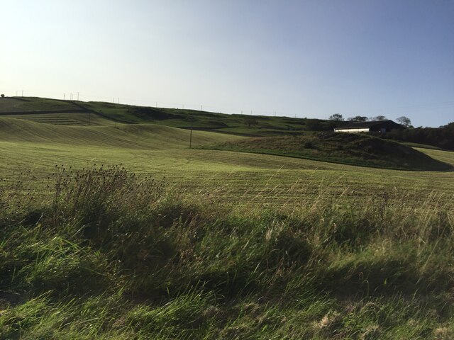
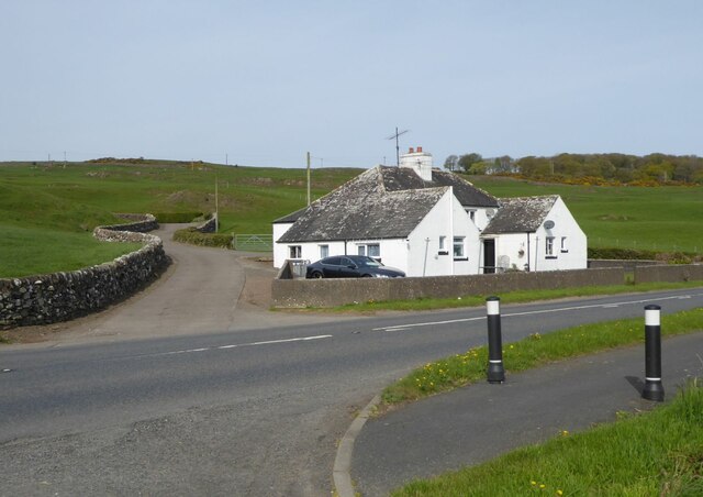
Carty Port is a small coastal village located in Wigtownshire, Scotland. Situated on the west coast, it lies approximately 5 miles south of the town of Wigtown and 10 miles north of the popular tourist destination, Portpatrick. With its picturesque setting and tranquil atmosphere, Carty Port is often regarded as a hidden gem within the region.

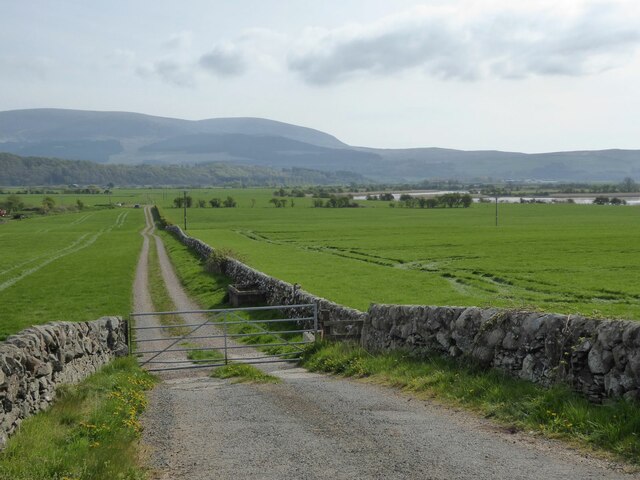
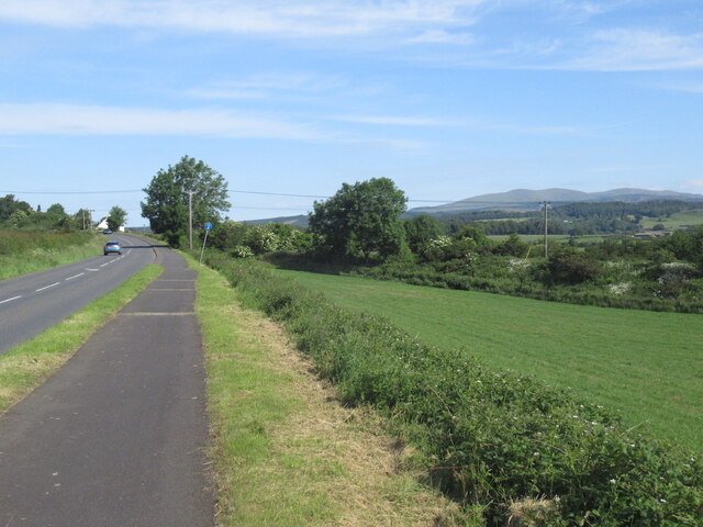
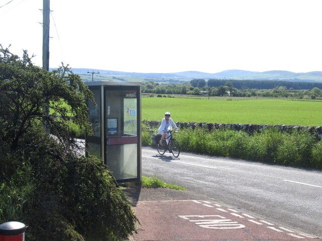
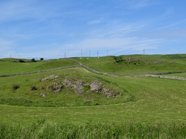
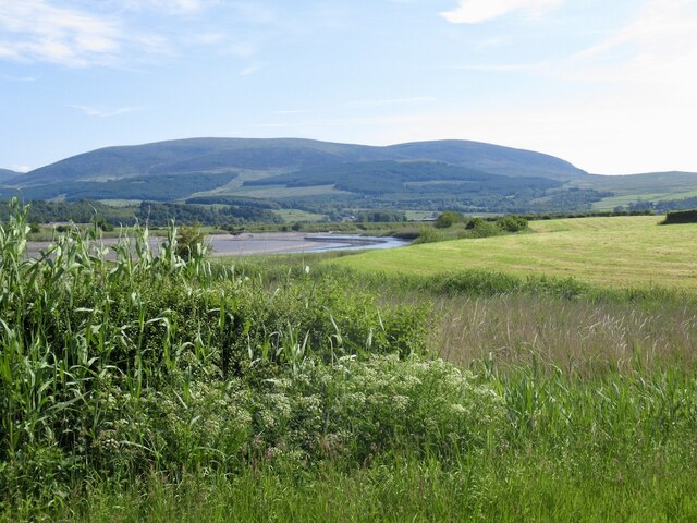
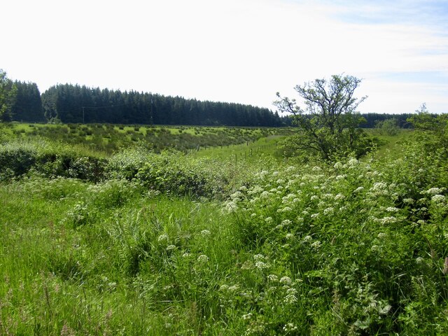
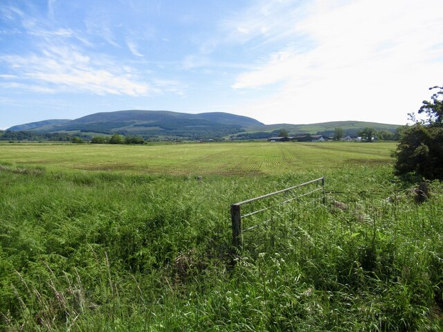
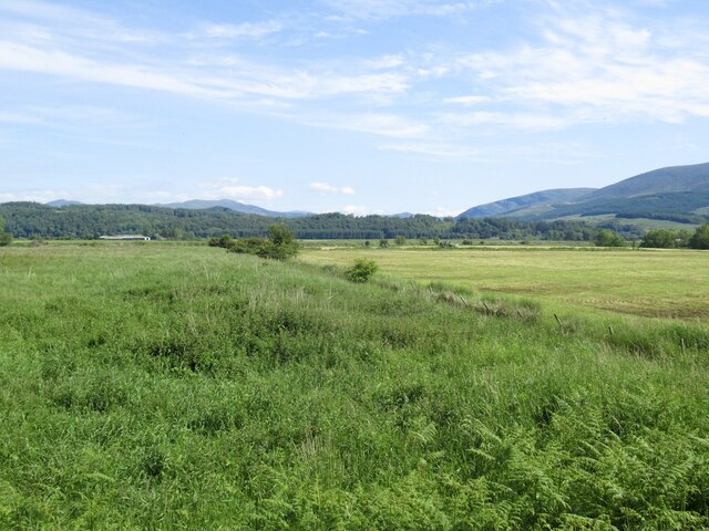
The village is nestled along the shores of the Irish Sea, offering stunning views of the surrounding landscape. Its location makes it an ideal spot for nature enthusiasts and those seeking a peaceful retreat. The nearby coastline boasts rugged cliffs, sandy beaches, and rocky coves, providing opportunities for coastal walks, birdwatching, and exploring rock pools.

Despite its small size, Carty Port has a rich history. It was once a bustling fishing port, and remnants of its maritime past can still be seen in the form of old harbor structures and fishing boats. Today, however, the village's economy relies more on tourism and agriculture.

Carty Port is home to a close-knit community, with a population of around 200 residents. The village offers basic amenities such as a local pub, a small shop, and a post office. For more extensive services, residents and visitors can easily access the nearby towns of Wigtown and Portpatrick, which provide a wider range of facilities including shops, restaurants, and accommodations.

Overall, Carty Port offers a charming coastal retreat for those seeking natural beauty, tranquility, and a glimpse into the area's fishing heritage.

If you have any feedback on the listing, please let us know in the comments section below.
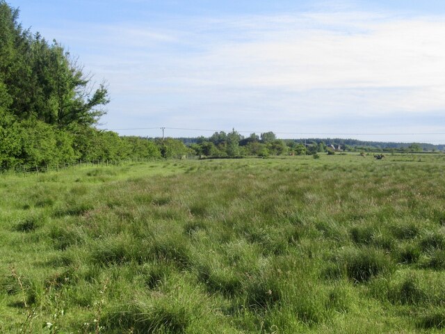
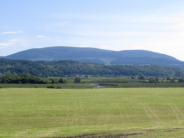
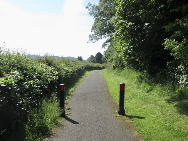
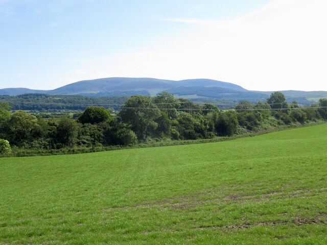
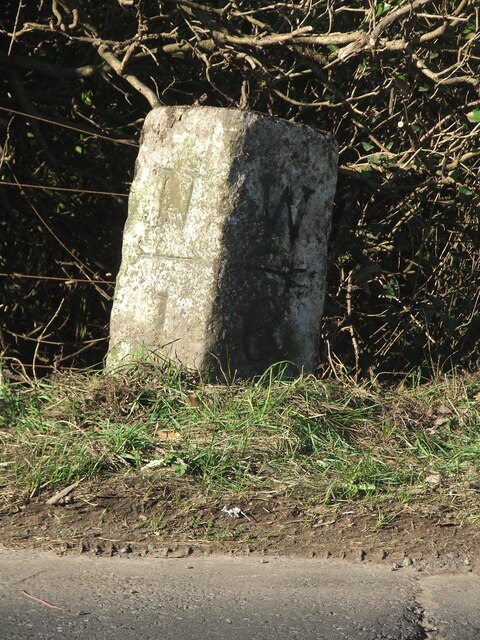
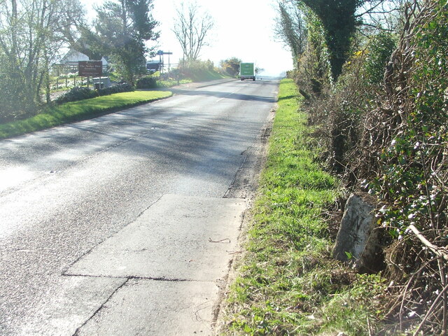
Carty Port Images

Images are sourced within 2km of 54.932663/-4.4506924 or Grid Reference NX4362. Thanks to Geograph Open Source API. All images are credited.

Undulating farmland A series of small hillocks in this grassland
Undulating farmland
A series of small hillocks in this grassland
Gallowhill View With a broad view of the meandering River Cree.
Gallowhill View
With a broad view of the meandering River Cree.
Track to the Carse Road Which is a dismantled railway trackbed.
Looking across the Carse of Barr to the River Cree.
Track to the Carse Road
Which is a dismantled railway trackbed. Looking across the Carse of Barr to the River Cree.
Ruined Barn hidden in the undergrowth There is a BM on the SE corner.
Ruined Barn hidden in the undergrowth
There is a BM on the SE corner.
Carse land near Palnure Cree flood plain.
Carse land near Palnure
Cree flood plain.
After harvesting silage Field beside the Cree.
After harvesting silage
Field beside the Cree.
Cyclepath beside the B714
Beside the Port Road The trees mark the trackbed of the Portpatrick Railway.
Beside the Port Road
The trees mark the trackbed of the Portpatrick Railway.
Path beside the A714
Telephone box, Lamachan View Still working but with a closure notice inside. END refers to the end of a cycle path from Newton Stewart.

Lamachan View is a row of houses, Lamachan being a hill behind Newton Stewart.
Telephone box, Lamachan View
Still working but with a closure notice inside. END refers to the end of a cycle path from Newton Stewart. Lamachan View is a row of houses, Lamachan being a hill behind Newton Stewart.
Pasture, Upper Barr As often in Galloway, with rocky bits.
Pasture, Upper Barr
As often in Galloway, with rocky bits.
River Cree From beside the Brushy Burn with a view of Cairnsmore of Fleet.
River Cree
From beside the Brushy Burn with a view of Cairnsmore of Fleet.
Brushy Burn The burn is amongst the vegetation.
Brushy Burn
The burn is amongst the vegetation.
Forest, Moss of Cree
Carsenestock Carse land west of the Cree.
Carsenestock
Carse land west of the Cree.
Cree carse land Near Carsenestock.
Cree carse land
Near Carsenestock.
Old milestone This milestone 1 mile south of Newton Stewart on the A714 took some finding.   But cleared of vegetation it can be seen on the south west side of the road almost opposite the sign for the entrance to The Nether Barr Steading.   Wigtown is 6 miles to the south.
Old milestone
This milestone 1 mile south of Newton Stewart on the A714 took some finding. But cleared of vegetation it can be seen on the south west side of the road almost opposite the sign for the entrance to The Nether Barr Steading. Wigtown is 6 miles to the south.
Old milestone On the Wigtown face of the milestone can just be made out W/arrow pointing left/6.   That is The Nether Barr Steading on the left of the picture and is where the cycle path starts.
Old milestone
On the Wigtown face of the milestone can just be made out W/arrow pointing left/6. That is The Nether Barr Steading on the left of the picture and is where the cycle path starts.
Show me another place!

Carty Port is located at Grid Ref: NX4362 (Lat: 54.932663, Lng: -4.4506924)

Unitary Authority: Dumfries and Galloway

Police Authority: Dumfries and Galloway

What 3 Words

///longer.roadshow.asleep. Near Newton Stewart, Dumfries & Galloway

Nearby Locations

Carty Port

Related Wikis

Palnure

Palnure (Scottish Gaelic: Poll an Iùbhair) is a small village in the historical county of Kirkcudbrightshire in Dumfries and Galloway, Scotland, on the...

Palnure railway station

Palnure railway station (NX450634) was a railway station on the Portpatrick and Wigtownshire Joint Railway close to Newton Stewart and the junction for...

Mains of Penninghame Platform railway station

Mains of Penninghame Platform railway station (NX410617) was a halt on the Wigtownshire Railway branch line, from Newton Stewart to Whithorn, of the Portpatrick...
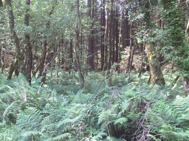
Kirroughtree

Kirroughtree Forest is located near Newton Stewart in Dumfries and Galloway, southwest Scotland and overlooks the Irish Sea. It is managed by Forestry...

Causeway End railway station

Causeway End (NX 42047 59602) or Causwayend was a railway station on the Wigtownshire Railway branch line, from Newton Stewart to Whithorn, of the Portpatrick...

McMillan Hall, Newton Stewart

The McMillan Hall is a municipal building in Dashwood Square in Newton Stewart, Dumfries and Galloway, Scotland. The structure, which is used as a community...

Newton Stewart Hospital

Newton Stewart Hospital is a health facility in Newton Stewart, Dumfries and Galloway, Scotland. It is managed by NHS Dumfries and Galloway. == History... ==

Newton Stewart railway station

Newton Stewart railway station served the town of Newton Stewart, Dumfries and Galloway, Scotland from 1861 to 1965 on the Portpatrick and Wigtownshire...

Nearby Amenities

Located within 500m of 54.932663,-4.4506924
Source: PGS
Lat/Long: 54.9307527/-4.4452533
Source: PGS
Lat/Long: 54.9310486/-4.4460258
Source: PGS
Lat/Long: 54.9316403/-4.4471416
Source: PGS
Lat/Long: 54.9325773/-4.4485148
Source: PGS
Lat/Long: 54.9327371/-4.4485829
Source: PGS
Lat/Long: 54.932885/-4.4487761
Source: PGS
Lat/Long: 54.9332795/-4.4490765
Source: PGS
Lat/Long: 54.9343397/-4.4507502
Source: PGS
Lat/Long: 54.9346972/-4.4542907
Source: PGS
Lat/Long: 54.9349438/-4.4558571
Source: PGS
Lat/Long: 54.9355109/-4.4564794
Source: PGS
Lat/Long: 54.935966/-4.4463405
Source: PGS
Lat/Long: 54.936114/-4.4474563
Source: PGS
Lat/Long: 54.9364991/-4.4485429
Source: PGS
Lat/Long: 54.9366175/-4.4505174
Source: PGS
Lat/Long: 54.9355709/-4.4491707
Source: PGS
Lat/Long: 54.9346109/-4.4475744
Source: PGS
Lat/Long: 54.9338343/-4.4466088
Source: PGS
Lat/Long: 54.9333165/-4.4460938
Source: PGS
Lat/Long: 54.932959/-4.4457291
Source: PGS
Lat/Long: 54.9327248/-4.4453857
Source: PGS
Lat/Long: 54.9325892/-4.4451068
Source: PGS
Lat/Long: 54.9325398/-4.4434546
Power: pole
Lat/Long: 54.9305239/-4.4562993
Power: pole
Lat/Long: 54.9311749/-4.4564099
Power: pole
Lat/Long: 54.9318721/-4.4562528
Power: pole
Lat/Long: 54.9324419/-4.456784
Power: pole
Lat/Long: 54.933002/-4.4573296
Passing Place
Lat/Long: 54.9305756/-4.4462496
Passing Place
Lat/Long: 54.9341894/-4.4552243
Passing Place
Lat/Long: 54.9334235/-4.4529229
Passing Place
Lat/Long: 54.9346285/-4.4568148
Power: pole
Lat/Long: 54.9335822/-4.4572806
Power: pole
Lat/Long: 54.9333303/-4.4559128
Power: pole
Lat/Long: 54.9330739/-4.4545449
Power: pole
Lat/Long: 54.9328364/-4.4532431
Power: pole
Lat/Long: 54.9325745/-4.4518461
Power: pole
Lat/Long: 54.9332255/-4.4521566
Power: pole
Lat/Long: 54.9333581/-4.4510642
Power: pole
Lat/Long: 54.933435/-4.4504317
Power: pole
Lat/Long: 54.9307625/-4.4491925
Power: pole
Lat/Long: 54.9311605/-4.4506049
Power: pole
Lat/Long: 54.9304046/-4.4479255
Power: pole
Lat/Long: 54.9300513/-4.4466547
Power: pole
Lat/Long: 54.9296912/-4.4453819
Power: pole
Lat/Long: 54.9298694/-4.4561858
Power: pole
Lat/Long: 54.9334952/-4.4577823
The data included in this document is from www.openstreetmap.org. The data is made available under ODbL.

Have you been to Carty Port?

Leave your review of Carty Port below (or comments, questions and feedback).