Burnhouse

Settlement in Renfrewshire

Scotland

Burnhouse

The Avenue Shopping Centre Newton Mearns
The Avenue Shopping Centre Newton Mearns Credit: Josie Campbell

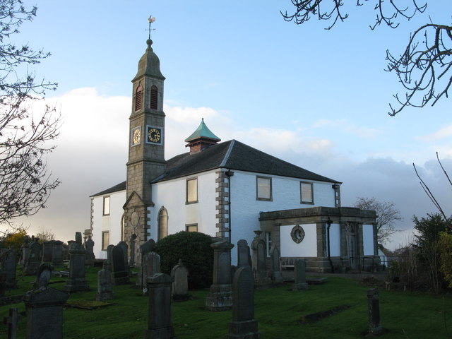
Burnhouse is a small village located in the county of Renfrewshire, Scotland. Situated approximately 20 miles southwest of Glasgow, it is nestled in the picturesque countryside of the region. The village is part of the wider Parish of Beith and benefits from its close proximity to major towns such as Kilbirnie and Dalry.

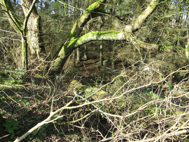
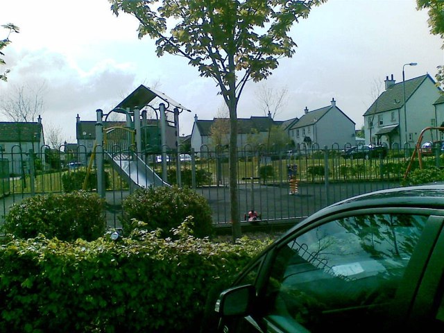
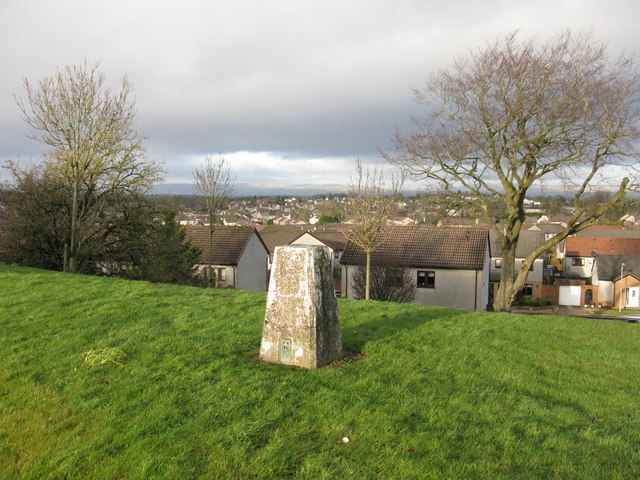
Burnhouse is primarily a residential area, featuring a mix of traditional cottages and more modern houses. The village is known for its peaceful and friendly atmosphere, making it an ideal place for families and those seeking a tranquil lifestyle. The surrounding landscape provides ample opportunities for outdoor activities, including hiking, cycling, and fishing.

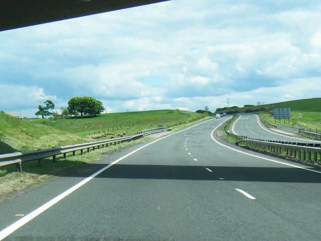
Despite its rural setting, Burnhouse enjoys good transport links. The nearby A737 road connects the village to the wider road network, making it easily accessible by car. Additionally, the village benefits from regular bus services to nearby towns and cities. The closest railway station is in Kilwinning, approximately 6 miles away.

In terms of amenities, Burnhouse has a small but vibrant community. The village boasts a primary school, providing education for local children. There is also a village hall, which serves as a hub for various social events and community gatherings. For shopping and other services, residents often rely on nearby towns and cities, which offer a wider range of facilities.

Overall, Burnhouse is a charming and peaceful village, offering a rural lifestyle with convenient access to nearby towns and cities. Its idyllic location and friendly community make it an attractive place to live for those seeking a slower pace of life.

If you have any feedback on the listing, please let us know in the comments section below.

Burnhouse Images

Images are sourced within 2km of 55.772783/-4.3174418 or Grid Reference NS5455. Thanks to Geograph Open Source API. All images are credited.

The Avenue Shopping Centre Newton Mearns
West Titwood Near Newton Mearns.
West Titwood
Near Newton Mearns.
Newton Mearns Baptist Church
The Avenue Shopping Centre
Small Woods off Rodgers Avenue
Play area, Meadow Rise
Mearns Castle High School Mearns Castle High School is a secondary school situated on Waterfoot Road in Newton Mearns.
Mearns Castle High School
Mearns Castle High School is a secondary school situated on Waterfoot Road in Newton Mearns.
Mearns Castle Trig Point The trig point is situated beside Mearns Castle High School and from here there is a good view over Newton Mearns towards the Campsie Fells in the distance.
Mearns Castle Trig Point
The trig point is situated beside Mearns Castle High School and from here there is a good view over Newton Mearns towards the Campsie Fells in the distance.
Broom Parish Church of Scotland In Newton Mearns at the corner of Mearns Road and Broom Road East.
Broom Parish Church of Scotland
In Newton Mearns at the corner of Mearns Road and Broom Road East.
Flenders Road, Clarkston Tree-lined road leading to Waterfoot.
Flenders Road, Clarkston
Tree-lined road leading to Waterfoot.
Floors Farm South of Newton Mearns and just north of the minor road Floors Road.
Floors Farm
South of Newton Mearns and just north of the minor road Floors Road.
A726 at Mearns Road overbridge
A726 passes under Titwood Road
Lloyds TSB Scotland Bank on Ayr Road, Newton Mearns [A77].
Lloyds TSB Scotland
Bank on Ayr Road, Newton Mearns [A77].
Whitecraigs Golf Club The southern end of the golf course viewed from Fruin avenue.
Whitecraigs Golf Club
The southern end of the golf course viewed from Fruin avenue.
Waterfall on Capelrig Burn In a small woodland area just off Crookfur Road, Newton Mearns.
Waterfall on Capelrig Burn
In a small woodland area just off Crookfur Road, Newton Mearns.
Newton Mearns Parish Church On Ayr Road, A77, next to the Avenue Shopping Centre.
Newton Mearns Parish Church
On Ayr Road, A77, next to the Avenue Shopping Centre.
Mearns Parish Kirk Situated at the corner of Eaglesham Road and Mearns Road, the church celebrates its Bicentennial the year the photograph was taken (2013).
Mearns Parish Kirk
Situated at the corner of Eaglesham Road and Mearns Road, the church celebrates its Bicentennial the year the photograph was taken (2013).
Show me another place!

Burnhouse is located at Grid Ref: NS5455 (Lat: 55.772783, Lng: -4.3174418)

Unitary Authority: East Renfrewshire

Police Authority: Greater Glasgow

What 3 Words

///gravel.lively.term. Near Newton Mearns, East Renfrewshire

Nearby Locations

Shaw Linn Burnhouse Mearns

Related Wikis

Mearns Castle High School

Mearns Castle High School is a secondary school situated on Waterfoot Road in Newton Mearns, East Renfrewshire, Scotland roughly seven miles from Glasgow...
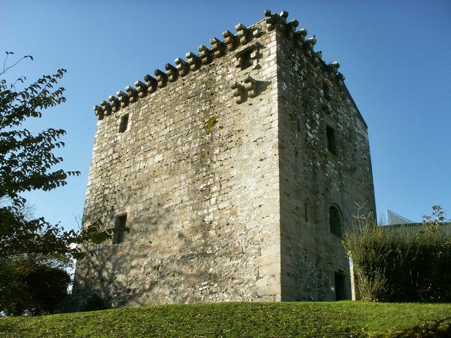
Mearns Castle

Mearns Castle is a 15th-century tower house in Newton Mearns, East Renfrewshire, south of Glasgow, Scotland. It is a Category A listed building. The castle...

Glasgow Reform Synagogue

Glasgow Reform Synagogue is a synagogue in Newton Mearns, East Renfrewshire, Scotland. It is a member of the Movement for Reform Judaism and is the only...

Newton Mearns

Newton Mearns (Scots: The Mearns; Scottish Gaelic: Baile Ùr na Maoirne [ˈpalə ˈuːɾ nə ˈmɯːrˠɲə]) is a suburban town and the largest settlement in East...

Nearby Amenities

Located within 500m of 55.772783,-4.3174418
Post Office
Source: OS OpenData StreetView
Lat/Long: 55.7749496/-4.3138992
Auto Groomer Mobile Car Care Specialist
Addr City: Glasgow
Addr Street: Blackhouse Gardens
Phone: +447521963960
Start Date: 2015
Website: https://www.autogroomer.co.uk/
Lat/Long: 55.7726181/-4.3145611
Shaw
Is In: Newton Mearns
Place: suburb
Lat/Long: 55.7733247/-4.3217844
Noexit: yes
Lat/Long: 55.7742836/-4.3145269
Noexit: yes
Lat/Long: 55.7743168/-4.3144062
Generator Method: photovoltaic
Generator Output Electricity: yes
Generator Source: solar
Generator Type: solar_photovoltaic_panel
Location: roof
Power: generator
Lat/Long: 55.7701612/-4.321653
Generator Method: photovoltaic
Generator Output Electricity: yes
Generator Source: solar
Generator Type: solar_photovoltaic_panel
Location: roof
Power: generator
Lat/Long: 55.7702095/-4.3216315
Generator Method: photovoltaic
Generator Output Electricity: yes
Generator Source: solar
Generator Type: solar_photovoltaic_panel
Location: roof
Power: generator
Lat/Long: 55.769259/-4.319424
Generator Method: photovoltaic
Generator Output Electricity: yes
Generator Source: solar
Generator Type: solar_photovoltaic_panel
Location: roof
Power: generator
Lat/Long: 55.7720381/-4.3149126
Generator Method: photovoltaic
Generator Output Electricity: yes
Generator Source: solar
Generator Type: solar_photovoltaic_panel
Location: roof
Power: generator
Lat/Long: 55.7709911/-4.3111762
Generator Method: photovoltaic
Generator Output Electricity: yes
Generator Source: solar
Generator Type: solar_photovoltaic_panel
Location: roof
Power: generator
Lat/Long: 55.7709775/-4.3111092
Pharmacy
Fraser Pharmacy
Dispensing: yes
Healthcare: pharmacy
Lat/Long: 55.7749422/-4.3140959
Crossing
Crossing: traffic_signals
Tactile Paving: yes
Lat/Long: 55.7752206/-4.3140772
The data included in this document is from www.openstreetmap.org. The data is made available under ODbL.

Have you been to Burnhouse?

Leave your review of Burnhouse below (or comments, questions and feedback).