Mearns

Settlement in Renfrewshire

Scotland

Mearns

The Avenue Shopping Centre Newton Mearns
The Avenue Shopping Centre Newton Mearns Credit: Josie Campbell

Mearns is a small town located in the council area of Renfrewshire, Scotland. Situated approximately 10 miles south of Glasgow city center, it is part of the Greater Glasgow conurbation. The town lies on the south bank of the White Cart Water, a tributary of the River Clyde.

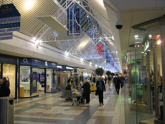
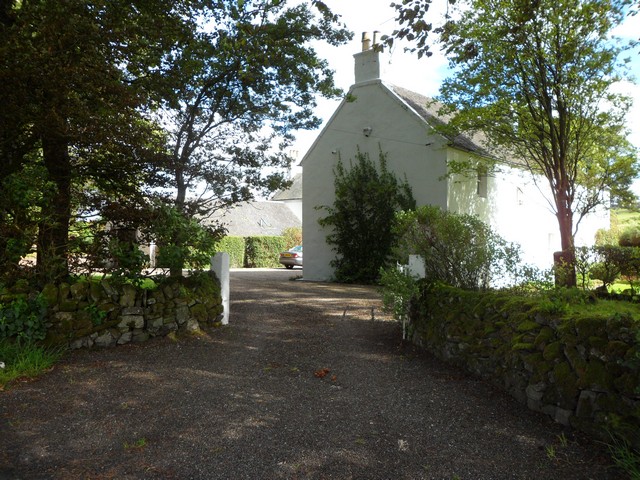
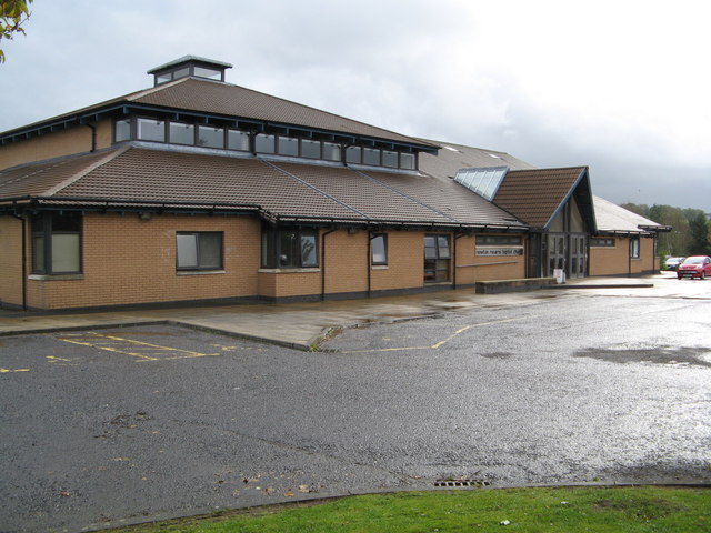
Mearns is primarily a residential area, known for its quiet and idyllic atmosphere. It is characterized by a mix of traditional stone-built cottages and more modern housing developments. The town offers a range of amenities, including local shops, schools, and recreational facilities, making it an attractive place for families to settle.

One of the notable landmarks in Mearns is the Mearns Kirk, a historic church that dates back to the 12th century. This beautiful building is a significant part of the town's heritage and serves as a focal point for the community.

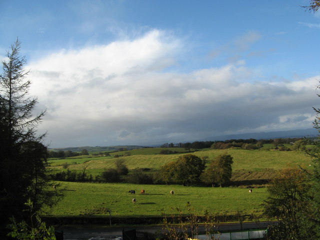
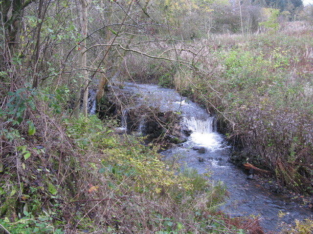
The surrounding countryside provides ample opportunities for outdoor activities, with several parks and green spaces nearby. Rouken Glen Park, located just a short distance from Mearns, is a popular destination for locals and visitors alike. It offers picturesque walking trails, a boating pond, and a variety of recreational facilities.

Mearns benefits from excellent transport links, with convenient access to major road networks and public transport services. This allows residents to easily commute to nearby towns and cities for work or leisure activities.

Overall, Mearns is a charming town that combines the tranquility of rural living with the convenience of being close to urban centers, making it an attractive place to reside.

If you have any feedback on the listing, please let us know in the comments section below.
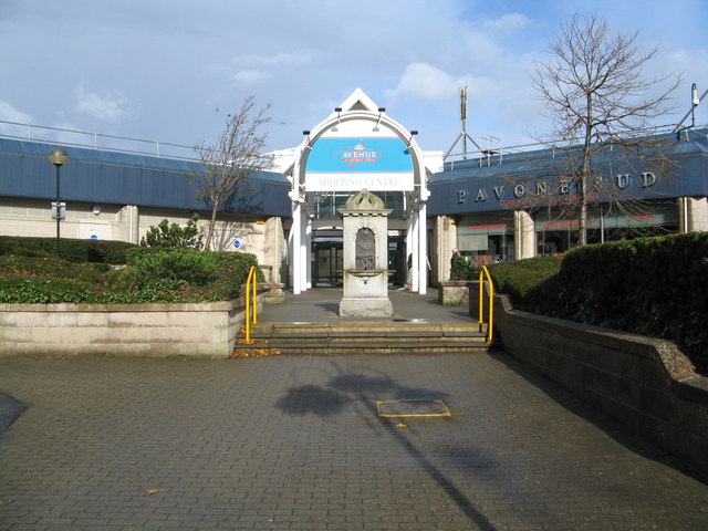
Mearns Images

Images are sourced within 2km of 55.768098/-4.3218509 or Grid Reference NS5455. Thanks to Geograph Open Source API. All images are credited.

The Avenue Shopping Centre Newton Mearns
West Titwood Near Newton Mearns.
West Titwood
Near Newton Mearns.
Newton Mearns Baptist Church
Fields along Keltie Bridge
The Avenue Shopping Centre
Small Woods off Rodgers Avenue
Play area, Meadow Rise
Mearns Castle High School Mearns Castle High School is a secondary school situated on Waterfoot Road in Newton Mearns.
Mearns Castle High School
Mearns Castle High School is a secondary school situated on Waterfoot Road in Newton Mearns.
Mearns Castle Trig Point The trig point is situated beside Mearns Castle High School and from here there is a good view over Newton Mearns towards the Campsie Fells in the distance.
Mearns Castle Trig Point
The trig point is situated beside Mearns Castle High School and from here there is a good view over Newton Mearns towards the Campsie Fells in the distance.
Broom Parish Church of Scotland In Newton Mearns at the corner of Mearns Road and Broom Road East.
Broom Parish Church of Scotland
In Newton Mearns at the corner of Mearns Road and Broom Road East.
Floors Farm South of Newton Mearns and just north of the minor road Floors Road.
Floors Farm
South of Newton Mearns and just north of the minor road Floors Road.
Bonnyton Farm On Bonnyton Moor Road just south of the A726.
Bonnyton Farm
On Bonnyton Moor Road just south of the A726.
A726 looking east
A726 looking east
A726 at Mearns Road overbridge
A726 passes under Titwood Road
Lloyds TSB Scotland Bank on Ayr Road, Newton Mearns [A77].
Lloyds TSB Scotland
Bank on Ayr Road, Newton Mearns [A77].
Whitecraigs Golf Club The southern end of the golf course viewed from Fruin avenue.
Whitecraigs Golf Club
The southern end of the golf course viewed from Fruin avenue.
Waterfall on Capelrig Burn In a small woodland area just off Crookfur Road, Newton Mearns.
Waterfall on Capelrig Burn
In a small woodland area just off Crookfur Road, Newton Mearns.
Show me another place!

Mearns is located at Grid Ref: NS5455 (Lat: 55.768098, Lng: -4.3218509)

Unitary Authority: East Renfrewshire

Police Authority: Greater Glasgow

What 3 Words

///shapes.share.pitch. Near Newton Mearns, East Renfrewshire

Nearby Locations

Mearns Burnhouse Shaw Linn

Related Wikis

Mearns Castle High School

Mearns Castle High School is a secondary school situated on Waterfoot Road in Newton Mearns, East Renfrewshire, Scotland roughly seven miles from Glasgow...

Glasgow Reform Synagogue

Glasgow Reform Synagogue is a synagogue in Newton Mearns, East Renfrewshire, Scotland. It is a member of the Movement for Reform Judaism and is the only...
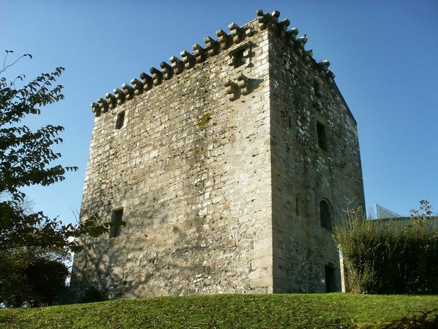
Mearns Castle

Mearns Castle is a 15th-century tower house in Newton Mearns, East Renfrewshire, south of Glasgow, Scotland. It is a Category A listed building. The castle...

Newton Mearns

Newton Mearns (Scots: The Mearns; Scottish Gaelic: Baile Ùr na Maoirne [ˈpalə ˈuːɾ nə ˈmɯːrˠɲə]) is a suburban town and the largest settlement in East...
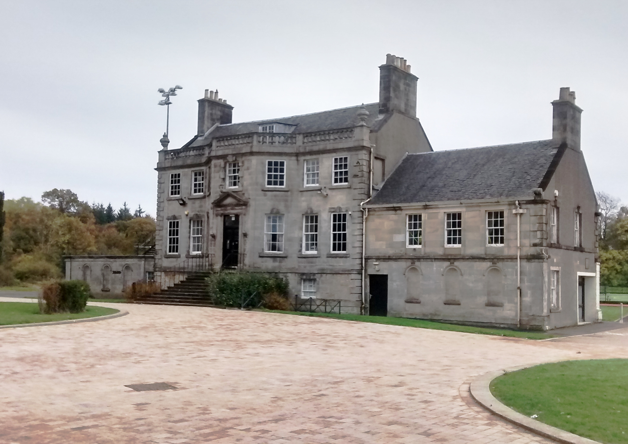
Capelrig House

Capelrig House is an 18th-century house in Newton Mearns, East Renfrewshire, Scotland, upon whose lands is situated Eastwood High School. The house is...

Eastwood High School, Newton Mearns

Eastwood High School is a comprehensive, non-denominational school located centrally in East Renfrewshire to the south of Glasgow, Scotland. It is one...

Waterfoot, East Renfrewshire

Waterfoot (Scots: Watterfit) is a village in East Renfrewshire, Scotland. It is on the B767 road between Clarkston and Eaglesham, which are 1 mile (1.6...

Netherplace

Netherplace is a hamlet in East Renfrewshire. It is to the west of Newton Mearns, and adjacent to the M77 motorway. The settlement is almost entirely along...

Nearby Amenities

Located within 500m of 55.768098,-4.3218509
Traffic Signals
Lat/Long: 55.7684287/-4.3215271
Turning Circle
Lat/Long: 55.7656233/-4.3183437
Barrier: entrance
Lat/Long: 55.7669678/-4.3249813
Crossing
Crossing: traffic_signals
Lat/Long: 55.768322/-4.3216208
Mearns
Is In: Newton Mearns
Place: suburb
Lat/Long: 55.767094/-4.322215
Generator Method: photovoltaic
Generator Output Electricity: yes
Generator Source: solar
Generator Type: solar_photovoltaic_panel
Location: roof
Power: generator
Lat/Long: 55.7697463/-4.3282834
Generator Method: photovoltaic
Generator Output Electricity: yes
Generator Source: solar
Generator Type: solar_photovoltaic_panel
Location: roof
Power: generator
Lat/Long: 55.767468/-4.3288574
Generator Method: photovoltaic
Generator Output Electricity: yes
Generator Source: solar
Generator Type: solar_photovoltaic_panel
Location: roof
Power: generator
Lat/Long: 55.7658104/-4.326049
Generator Method: photovoltaic
Generator Output Electricity: yes
Generator Source: solar
Generator Type: solar_photovoltaic_panel
Location: roof
Power: generator
Lat/Long: 55.7701326/-4.3246973
Generator Method: photovoltaic
Generator Output Electricity: yes
Generator Source: solar
Generator Type: solar_photovoltaic_panel
Location: roof
Power: generator
Lat/Long: 55.7701642/-4.3246356
Generator Method: photovoltaic
Generator Output Electricity: yes
Generator Source: solar
Generator Type: solar_photovoltaic_panel
Location: roof
Power: generator
Lat/Long: 55.7701612/-4.321653
Generator Method: photovoltaic
Generator Output Electricity: yes
Generator Source: solar
Generator Type: solar_photovoltaic_panel
Location: roof
Power: generator
Lat/Long: 55.7702095/-4.3216315
Generator Method: photovoltaic
Generator Output Electricity: yes
Generator Source: solar
Generator Type: solar_photovoltaic_panel
Location: roof
Power: generator
Lat/Long: 55.769259/-4.319424
Generator Method: photovoltaic
Generator Output Electricity: yes
Generator Source: solar
Generator Type: solar_photovoltaic_panel
Location: roof
Power: generator
Lat/Long: 55.7676415/-4.3165836
Generator Method: photovoltaic
Generator Output Electricity: yes
Generator Source: solar
Generator Type: solar_photovoltaic_panel
Location: roof
Power: generator
Lat/Long: 55.7646402/-4.3196118
Power: pole
Lat/Long: 55.7647959/-4.3183767
Crossing
Crossing: traffic_signals
Lat/Long: 55.7684205/-4.3214161
Crossing
Crossing: traffic_signals
Lat/Long: 55.7685142/-4.3214514
Bus Stop
Bus: yes
Public Transport: platform
Lat/Long: 55.7679666/-4.3217678
The data included in this document is from www.openstreetmap.org. The data is made available under ODbL.

Have you been to Mearns?

Leave your review of Mearns below (or comments, questions and feedback).