Meare Green
Settlement in Somerset Somerset West and Taunton
England
Meare Green
Meare Green is a small village located in the county of Somerset, England. It is situated approximately 9 miles west of the bustling town of Taunton and is surrounded by picturesque countryside. The village falls under the administrative district of Sedgemoor.
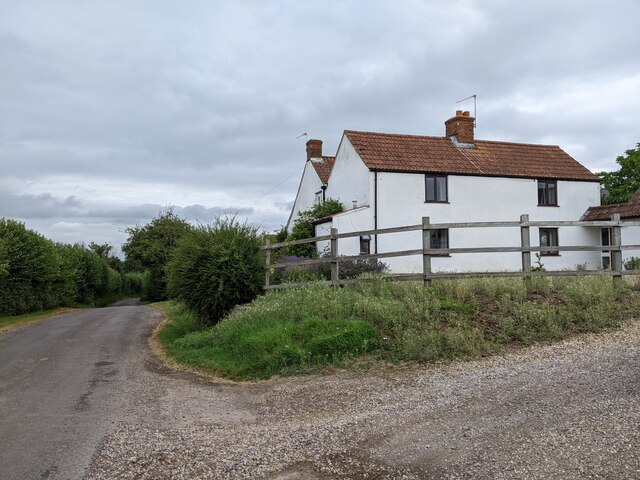
Meare Green is known for its tranquil and rural setting. It is home to a small population, creating a close-knit community atmosphere. The village predominantly consists of traditional stone cottages and farmhouses, reflecting its agricultural heritage.
The village is surrounded by lush green fields and farmland, providing a scenic backdrop for residents and visitors alike. The countryside is dotted with footpaths and bridleways, making it an ideal location for outdoor enthusiasts and nature lovers to explore the surrounding natural beauty.
Despite its small size, Meare Green benefits from a few amenities. The village has a local pub, providing a gathering place for residents to socialize and enjoy a meal or a drink. Additionally, the nearby town of Taunton offers a wider range of amenities, including shops, schools, and healthcare facilities.
Meare Green is conveniently located near major road networks, such as the M5 motorway, providing easy access to nearby towns and cities. The village is also well-connected by public transportation, with regular bus services to Taunton and other surrounding areas.
Overall, Meare Green offers a peaceful and idyllic setting for those seeking a quiet countryside lifestyle, while still being within reach of larger urban centers.
If you have any feedback on the listing, please let us know in the comments section below.
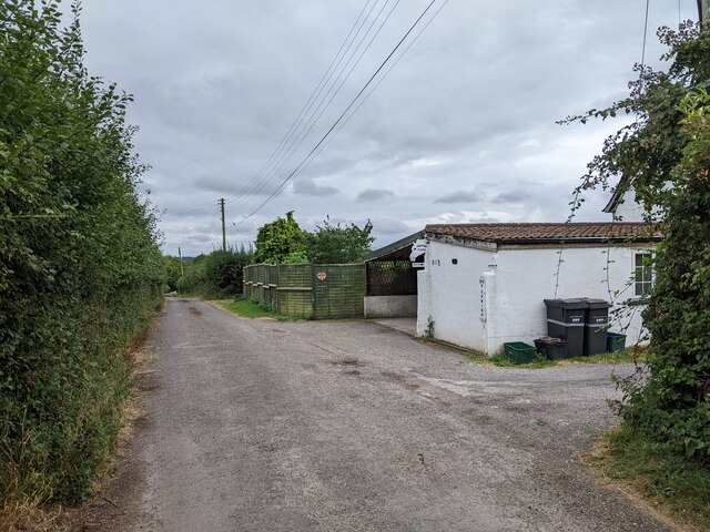
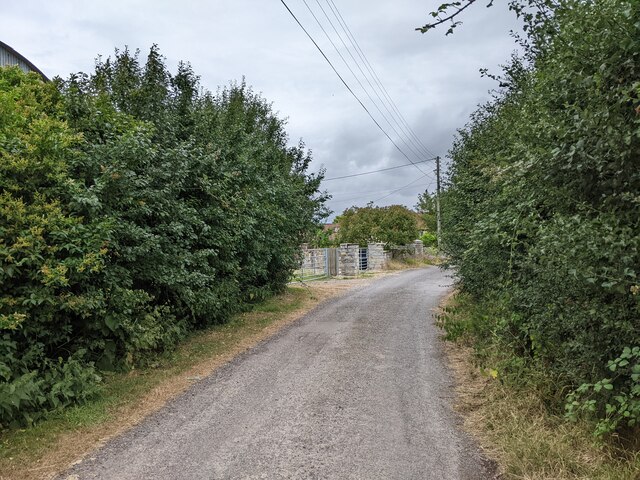
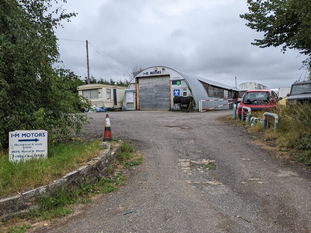
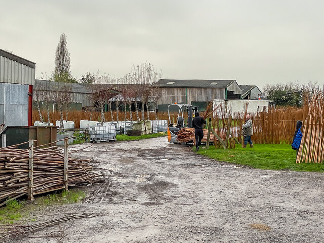
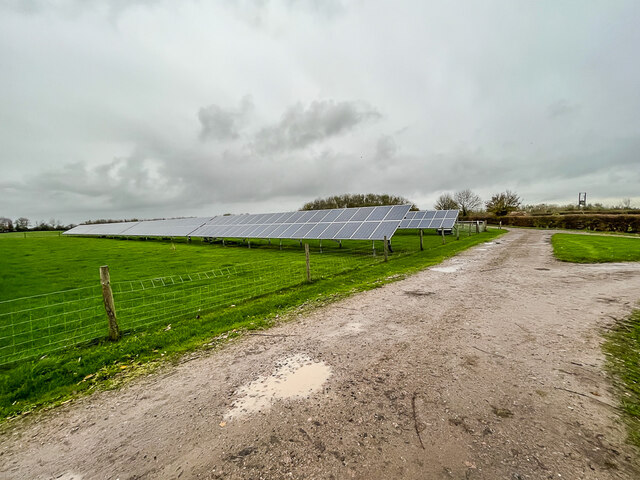
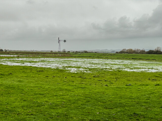
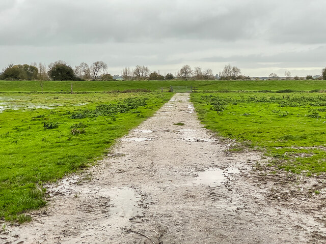
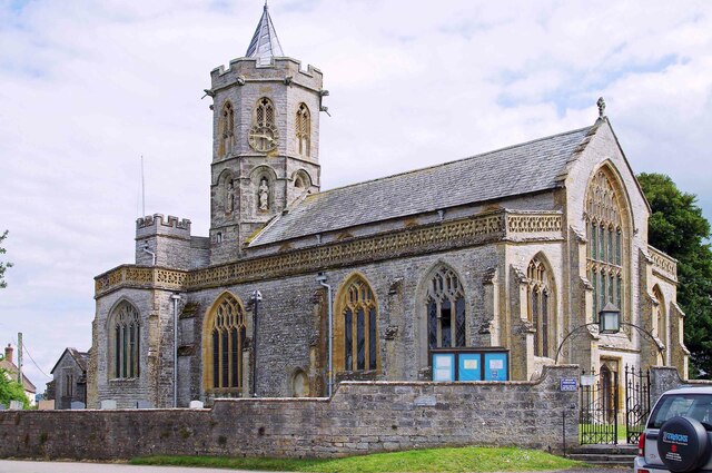
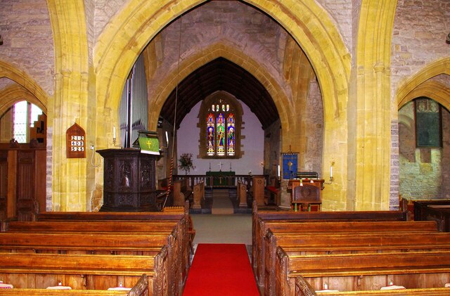
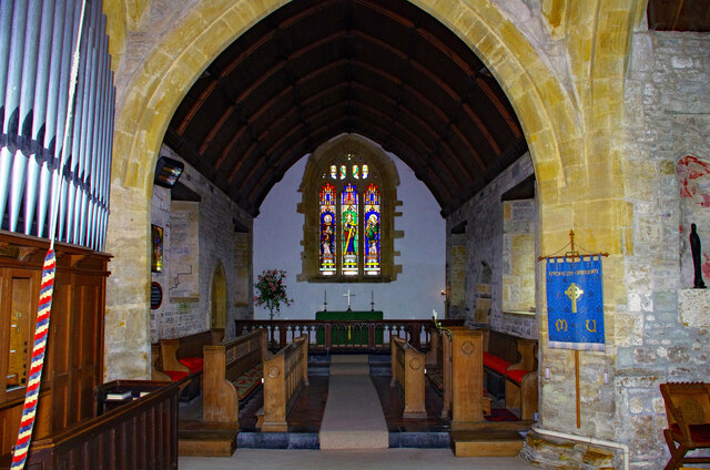
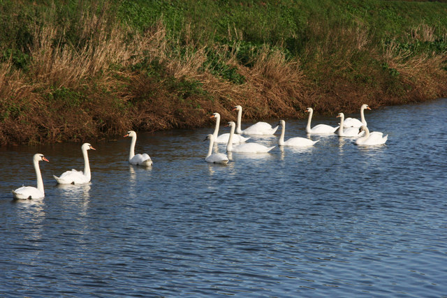
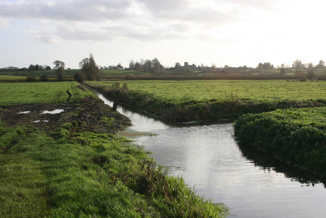
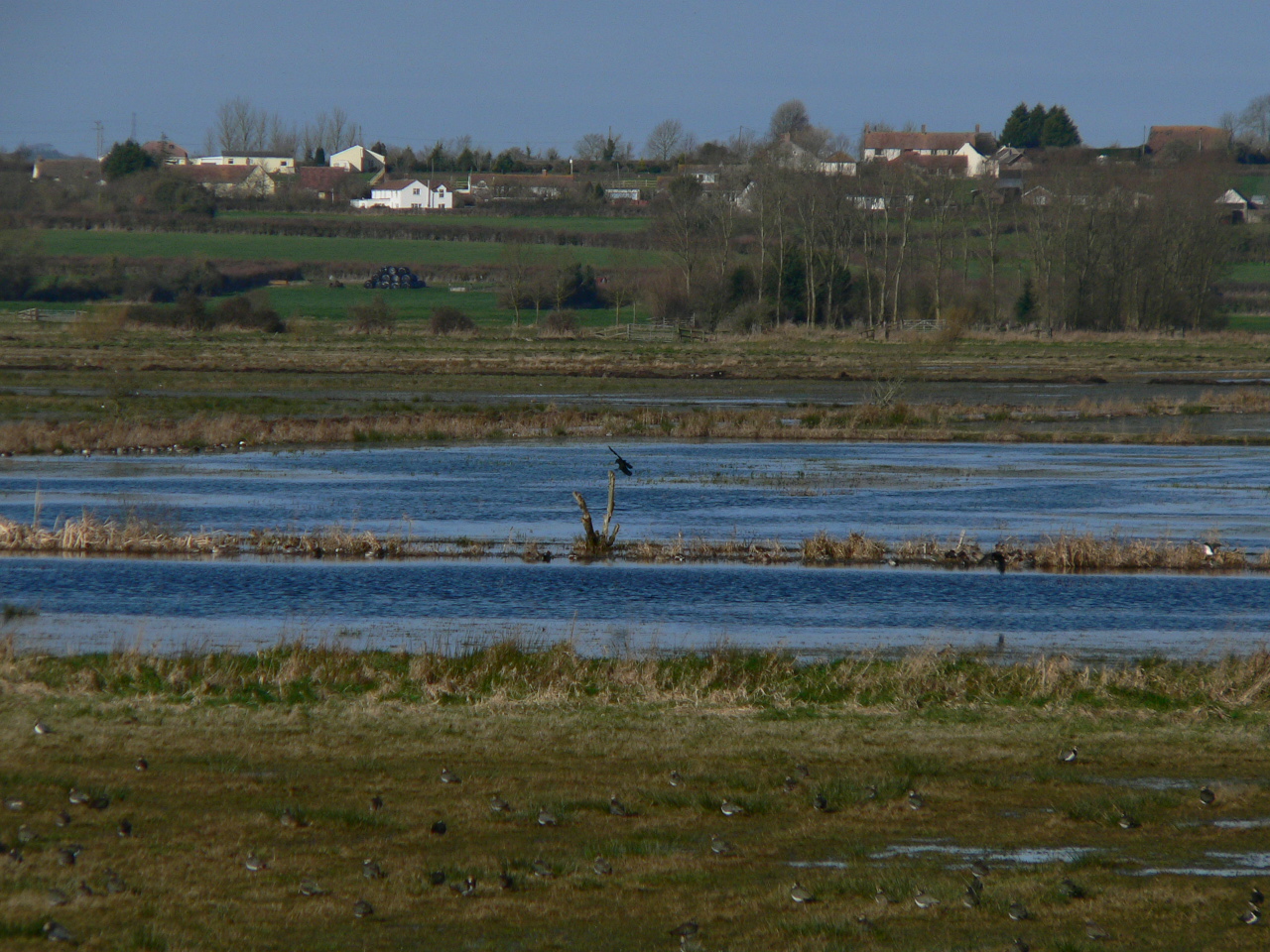
Meare Green Images
Images are sourced within 2km of 51.034409/-2.947377 or Grid Reference ST3326. Thanks to Geograph Open Source API. All images are credited.

Meare Green is located at Grid Ref: ST3326 (Lat: 51.034409, Lng: -2.947377)
Administrative County: Somerset
District: Somerset West and Taunton
Police Authority: Avon and Somerset
What 3 Words
///mystery.roving.inflation. Near Curry Rivel, Somerset
Nearby Locations
Related Wikis

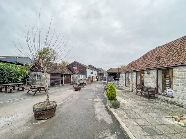
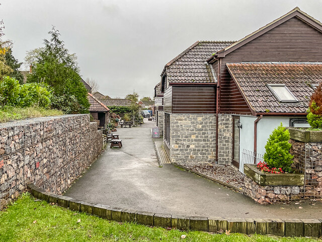
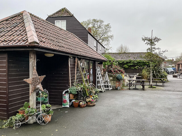
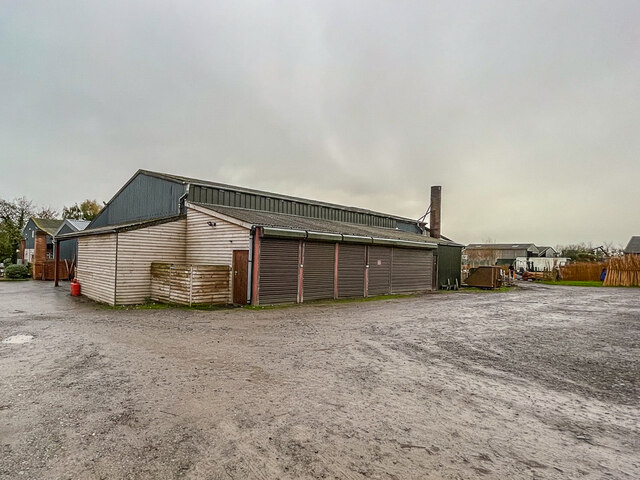
Willows and Wetlands Visitor Centre
The Willows and Wetlands Visitor Centre is situated at Stoke St Gregory, on the Somerset Levels, north east of Taunton, England. Based on a working farm...

Stoke St Gregory
Stoke St Gregory is a village and civil parish in Somerset, England, about 7 miles (11 km) east of Taunton. The village is on a low ridge of land between...

North Curry Meadow
North Curry Meadow (grid reference ST330253) is a 1.3 hectare (3.1 acre) biological Site of Special Scientific Interest in North Curry, Somerset, England...

Curry and Hay Moors
Curry and Hay Moors (grid reference ST323273) is a 472.8 hectare (1168.1 acre) biological Site of Special Scientific Interest in Somerset, notified in...

North Curry
North Curry is a village and civil parish in Somerset, England, 5 miles (8.0 km) east of Taunton. The parish, which includes several hamlets, had a population...

Lyng, Somerset
Lyng is a civil parish in Somerset, England, comprising the villages of West Lyng and East Lyng and the hamlet of Bankland. == History == The name derives...
West Sedgemoor
West Sedgemoor or West Sedge Moor (grid reference ST361258) is an area of the Somerset Levels, in Somerset, England, around 8 miles (13 km) east of Taunton...

Balt Moor Wall
Balt Moor Wall is an earthwork and listed scheduled ancient monument in Lyng, Somerset, England, situated on the Somerset Levels to the northwest of the...
Nearby Amenities
Located within 500m of 51.034409,-2.947377Have you been to Meare Green?
Leave your review of Meare Green below (or comments, questions and feedback).