Meare Green
Settlement in Somerset Somerset West and Taunton
England
Meare Green
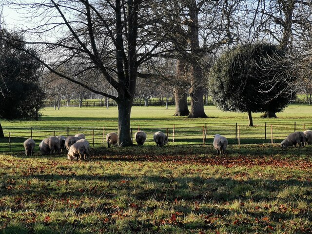
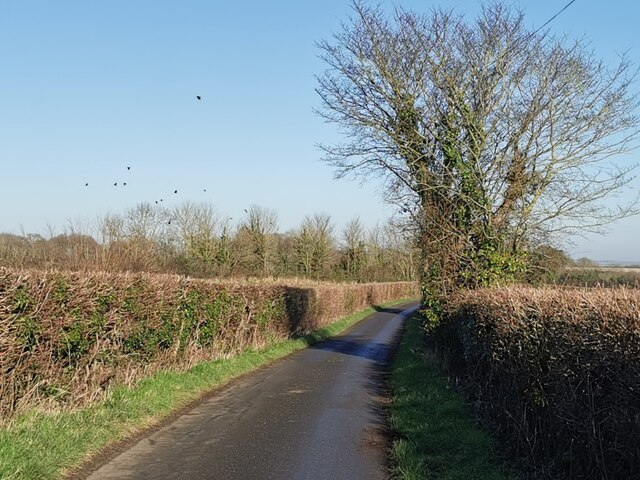
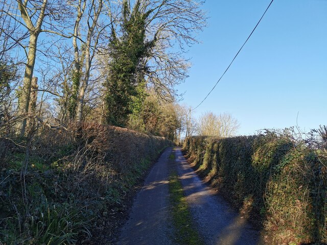
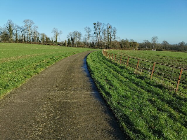
Meare Green is a small village located in the county of Somerset, England. Situated approximately 3 miles southwest of the town of Bridgwater, it is nestled in the picturesque countryside of the Sedgemoor district. The village is surrounded by lush green fields and meadows, offering a tranquil and idyllic setting for its residents.
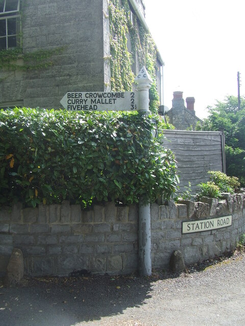
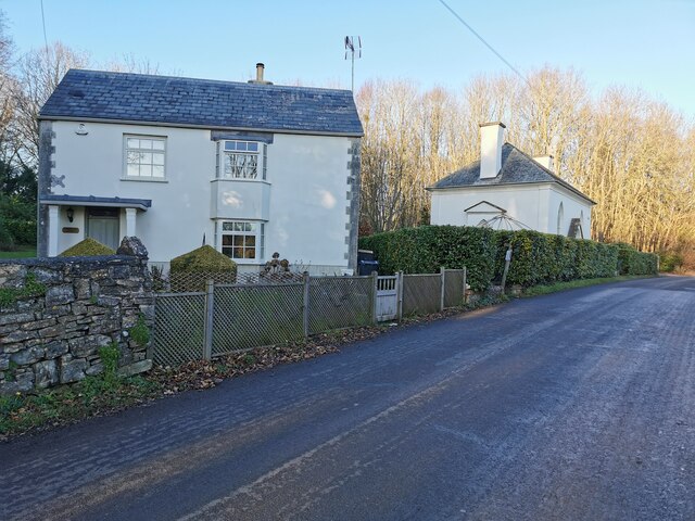
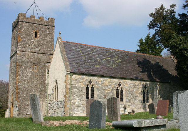
Historically, Meare Green has been an agricultural community, with farming playing a significant role in its economy. The village is known for its traditional thatched-roof cottages and charming architecture, which adds to its rustic charm.
Despite its small size, Meare Green is well-connected to neighboring towns and cities. The M5 motorway is easily accessible, providing convenient transportation options for residents and visitors alike. Additionally, the nearby Bridgwater railway station offers regular train services to destinations across the country.
The village is also within close proximity to several notable attractions. The Quantock Hills, a designated Area of Outstanding Natural Beauty, are just a short drive away. These rolling hills provide ample opportunities for outdoor activities such as hiking, cycling, and horseback riding. The historic town of Glastonbury, famous for its annual music festival and iconic Tor, is also within reach.
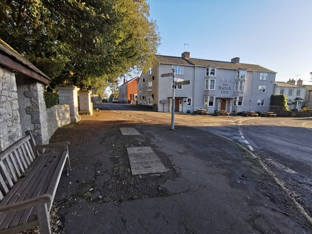
Meare Green is a close-knit community, with a range of amenities to cater to its residents' needs. These include a village hall, a primary school, and a local pub, providing a friendly and welcoming atmosphere for both locals and visitors to enjoy.
If you have any feedback on the listing, please let us know in the comments section below.
Meare Green Images
Images are sourced within 2km of 50.99635/-3.003603 or Grid Reference ST2922. Thanks to Geograph Open Source API. All images are credited.


Meare Green is located at Grid Ref: ST2922 (Lat: 50.99635, Lng: -3.003603)
Administrative County: Somerset
District: Somerset West and Taunton
Police Authority: Avon and Somerset
What 3 Words
///tidying.fastening.irritable. Near Creech St Michael, Somerset
Nearby Locations
Related Wikis

Taunton Stop Line
The Taunton Stop Line was a World War II defensive line in southwest England. It was designed "to stop an enemy's advance from the west and in particular...

Thornfalcon
Thornfalcon is a village and civil parish in Somerset, England, situated 4 miles (6.4 km) east of Taunton. The village has a population of 119. The parish...

West Hatch
West Hatch is a hamlet and civil parish in Somerset, England, situated 5 miles (8.0 km) south east of Taunton. It has a population of 306. == History... ==

Hatch Beauchamp
Hatch Beauchamp is a village and civil parish in Somerset, England, situated 5 miles (8.0 km) south east of Taunton. The village has a population of 620...

Curry Mallet
Curry Mallet (anciently "Cory Mallett") is a village and parish in Somerset, England. It is on the Fivehead River (also known as the River Ile), 7 miles...
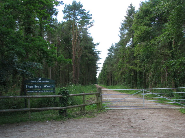
Thurlbear Wood and Quarrylands
Thurlbear Wood and Quarrylands (grid reference ST270210) is a 26.7 hectare (65.8 acre) biological Site of Special Scientific Interest south of Stoke St...
Church of St Mary, Stoke St Mary
The Anglican Church of St Mary in Stoke St Mary, Somerset, England was built in the 13th century. It is a Grade II* listed building. == History == The...

Beercrocombe
Beercrocombe (also known as Beer Crocombe) is a village and civil parish in Somerset, England, 1 mile (1.6 km) south of Curry Mallet and 7 miles (11.3...
Nearby Amenities
Located within 500m of 50.99635,-3.003603Have you been to Meare Green?
Leave your review of Meare Green below (or comments, questions and feedback).